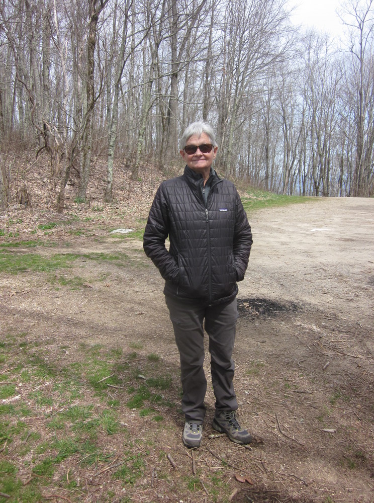
In April of 2022, after enough time off in Seneca, South Carolina to recover from the Foothills Trail (translation: do laundry, eat a pizza, and watch Mulan), gistrailblazer dropped me off at the southern terminus of the Bartram Trail. He continued north, and I too continued north, but much more slowly.
The Bartram Trail has been on my mind since I crossed paths with it at Wayah Bald in 2010 on my Appalachian Trail hike. I kept thinking I would do it next year, which turned into next year, which turned into not happening. The issue was always logistics — there’s not an easy airport, no public transportation, and it’s a little too long for me to comfortably do in a single week. Could you do it in a single week? Absolutely. Would you have fun? I wouldn’t. For other Bartram Trail advice, check out this page.
I was grateful to be dropped off in the middle of nowhere, even though I had mixed feelings. As I wrote in my journal, “My foot isn’t great, the forecast isn’t great, and leaving felt terrible.” But I had waited so long to be here, so I went. It was the heart of my Expedition LOST (Long-Overdue Southeastern Trails).
Day 1: Russell Bridge to Mountainside Stealth, 13.8 miles


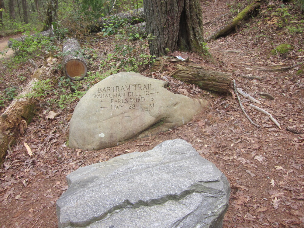
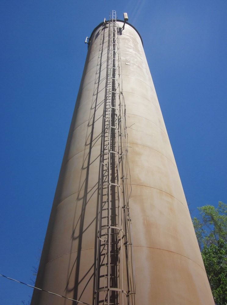
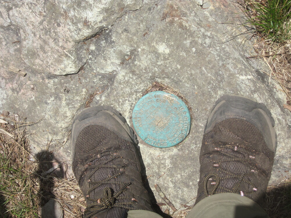
The Bartram Trail southern terminus at Russell Bridge, Georgia on Highway 28, has a carved stone. You can’t really see in the picture above, but it says “Bartram Trail,” as you might expect. The Georgia section has frequent giant stones carved with mileage information – a very unique way to sign a trail. In Georgia, the trail also had Forest Service signage at roads, which called it simply “Hiking Trail.”
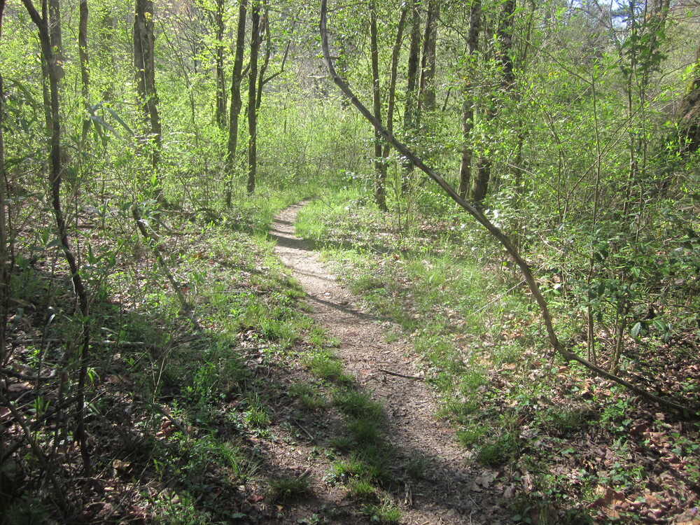
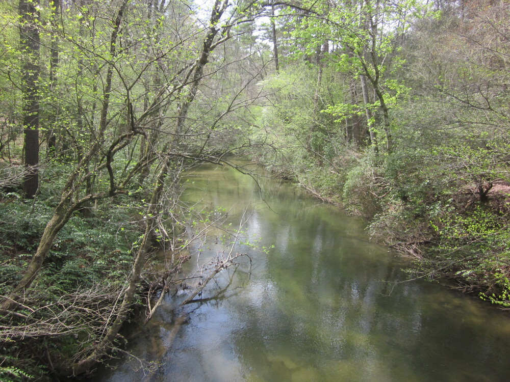
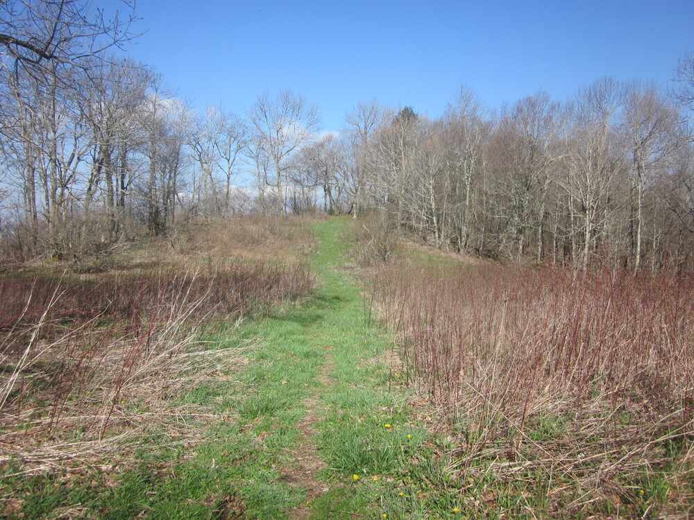
The Georgia Bartram Trail, particularly the south part, was very gentle and meandered along waterways. I got to revisit the Chattooga River, which I’d hiked along on the Foothills Trail. There’s a trail which connects the Foothills Trail and Bartram Trail along the river.
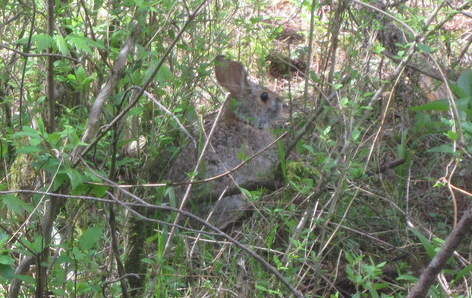
On my first day, I saw more wildlife than I’d seen on the entire Foothills Trail – perhaps due to spring being a bit more sprung, or because the Bartram Trail is less-traveled than Foothills. I saw hares, salamanders, and a pileated woodpecker.
The trail was gentle right up until the end of the day, when I had a steep climb. With rain in the forecast and threatening clouds, I hiked until it began to sprinkle. I pulled off, quickly set up my tent, and had to laugh when it immediately stopped sprinkling. It was a good enough spot: I was off the trail enough for seclusion (as much as possible when the leaves aren’t really out yet) and in the valley below I could see lights twinkling as night set in.
Day 2: Mountainside Stealth to Wilson Gap Campsite, 13.5 miles
Overnight, it poured. It was a tent-shaking, insomnia-inducing kind of rain that felt like someone was standing over my tent with buckets of water or a hose. Or both. But my tent performed well under the circumstances, and while I didn’t get as much sleep as I needed, the rain let up in the morning, allowing me to pack. The forecast said it would stop around 9AM, so that’s when I got on trail – an unheard-of late time for me, but I do better when not in rain, so I allowed the luxury of a late start.

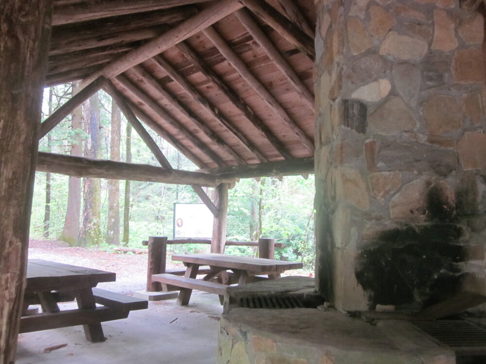
Haha, psych! The rain returned as soon as I was packed up, and it rained all morning and into the afternoon. I was destined to be wet. On the bright side, I passed Warwoman Dell, where I had access to a pit toilet and a roof. It’s the small things in life.


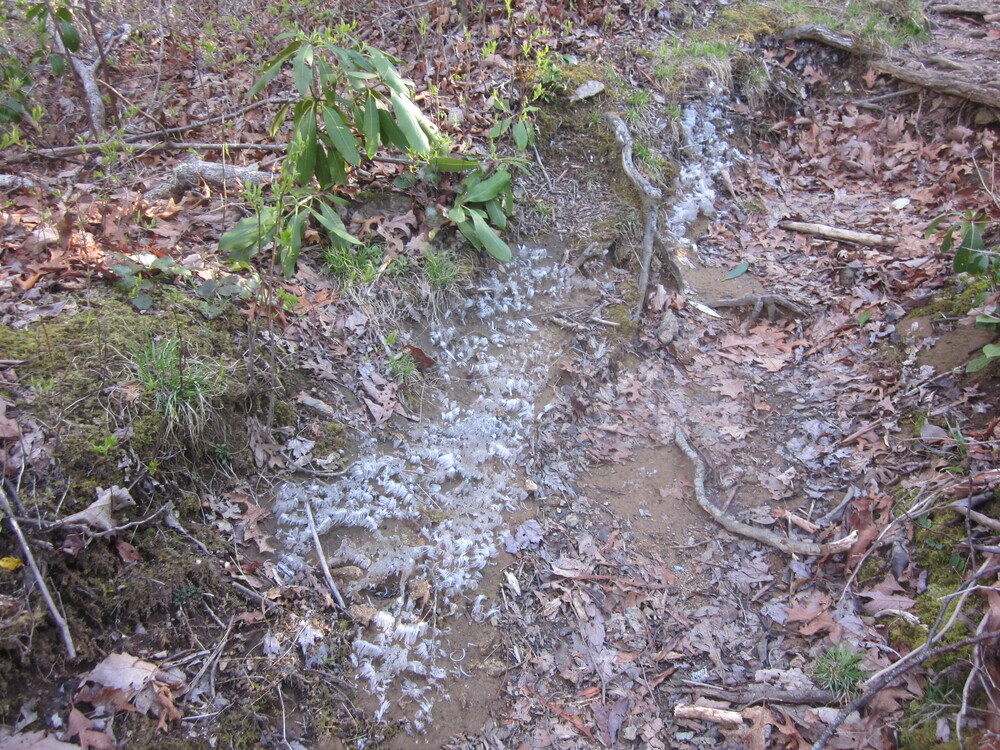
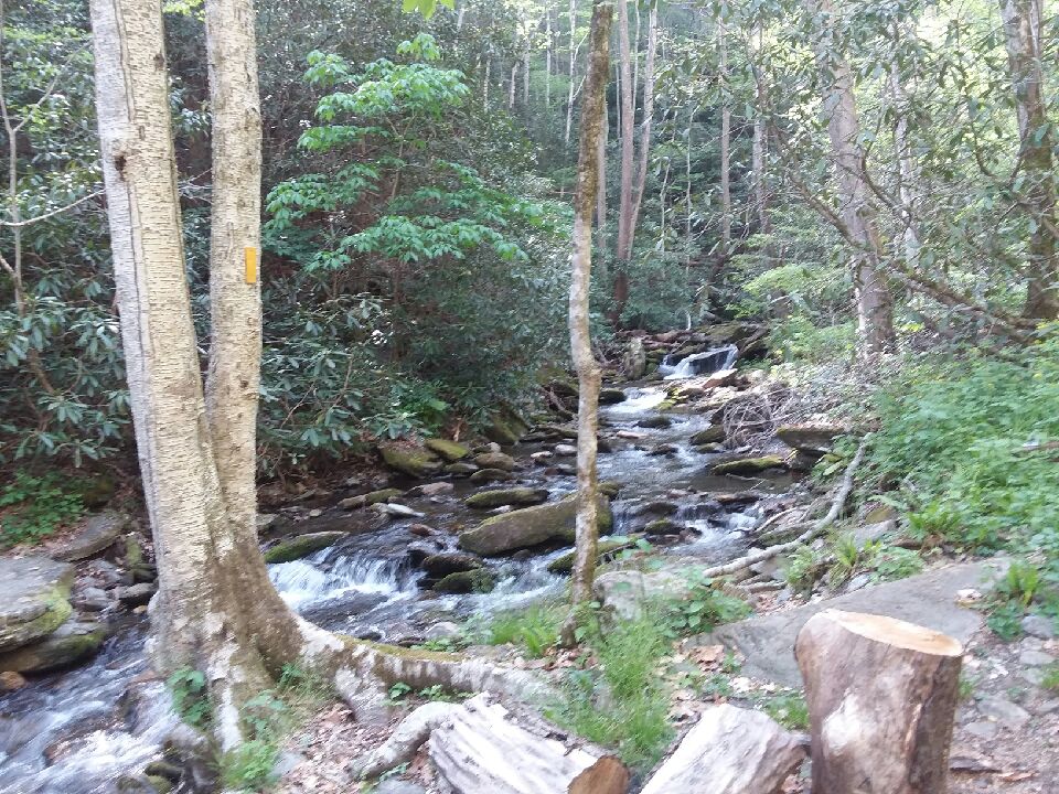
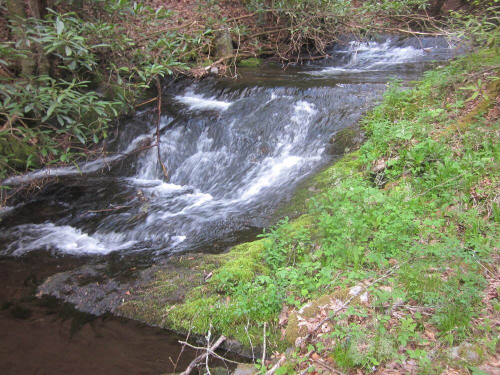
My guidebook for this trail is very old by now, so there were some changes I didn’t know about, like needing to ford the base of the waterfall on the left due to a bridge being out. I had to slide down the rock on the left to cross. On the bright side, I was already wet, so fording was no big deal. I really enjoyed the couple of waterfalls I saw – the nighttime deluge made them gorgeous.
I ran into three trail maintainers – two heading out to tackle a big blowdown I crawled over, and one getting the trail ready for a race. It was awesome to run into them and thank them for their work. I certainly didn’t expect to see anyone, let alone volunteers, when the weather was so questionable. So impressive.
After a very long, damp, cold afternoon, I arrived at Wilson Gap and set up, getting into dry clothes and shivering for awhile before I felt human again. Wilson Gap had a large, open campsite with several trails or old roads leading to it, but I saw no one except an owl.
The moment the sun went down, the wind began to howl as fiercely as it had on the Foothills Trails my last night there. And like that experience, I spent a portion of the night trying to support my tent to keep the tent poles from snapping. It was an otherworldly wind and I got very little sleep. But the tent didn’t break, so, you know, overall it was a win. Or at least not a loss.
Day 3: Wilson Gap Campsite to Scaly Mountain, 14.7 miles
The wind died down in the morning, but it was freezing despite the sun as I ascended Rabun Bald, the 2nd highest peak in Georgia. I had many layers, but my face hurt from the cold. However, I was positively gleeful because I had enough reception to book a spot at Chica and Sunsets Hostel in Franklin – they accept reservations two days in advance, and only have room for four hikers, so getting a spot during Appalachian Trail thruhiker season is far from guaranteed. But I got one, and I practically danced up the final thousand feet to Rabun Bald. I was really, really happy.
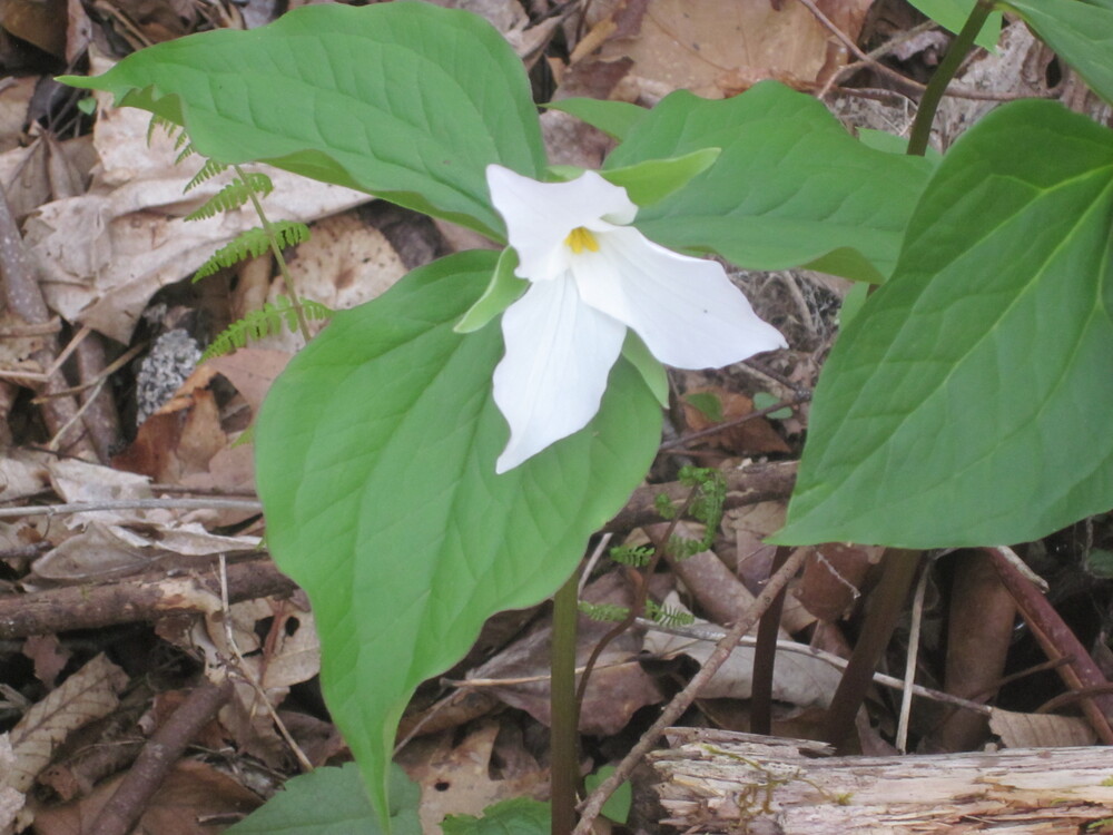
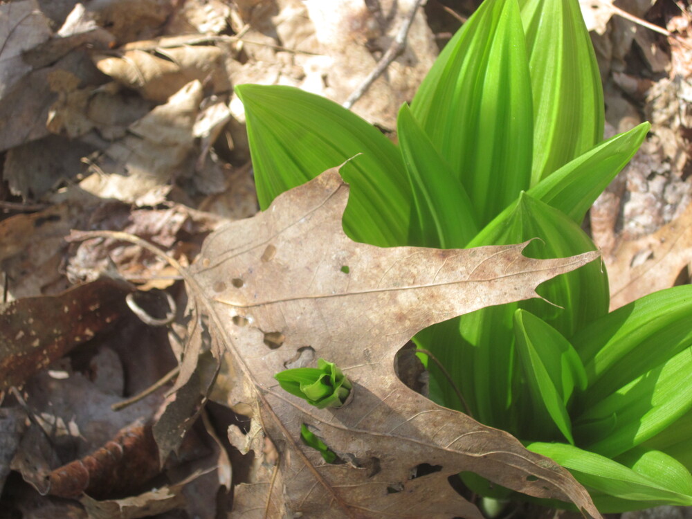
The wind returned as I neared the top, but the views were amazing. On the ground, frost flowers greeted me. I never experienced frost flowers until the end of the Appalachian Trail, November 2010, and it was so fun to see them again.
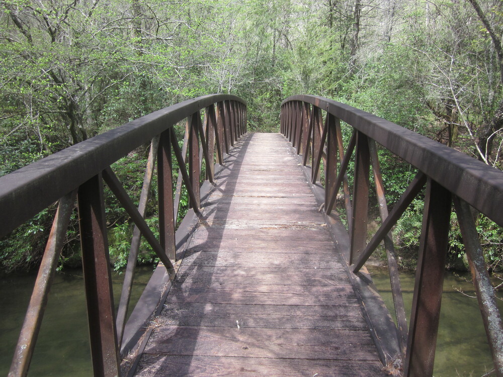
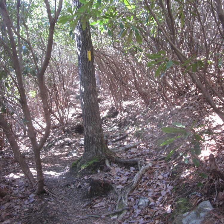
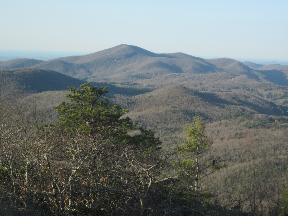
Despite the long climb to Rabun Bald, I felt good and was fueled by the idea that I was heading to town in a couple of days to warm up. I descended – long, rocky, and sometimes steep – and entered North Carolina. I really loved the Georgia portion of the Bartram Trail, but crossing into North Carolina was celebratory despite that fact that the trail seemed to get more rugged almost instantly. The bridges were different designs, the carved rock went away, and the blazing was slightly different. None of it was bad, just different.
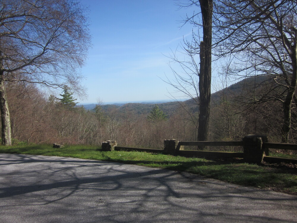
I intended to camp just before Osage Overlook, a roadside pulloff, but there was nothing that felt inviting. I could have stopped short, near a scenic creek where a lovely site beckoned, but it felt too early to stop. Scaly Mountain was looming, and it looked like a relentlessly steep climb. I wanted to get as close to it as I could to set myself up for success the following day.
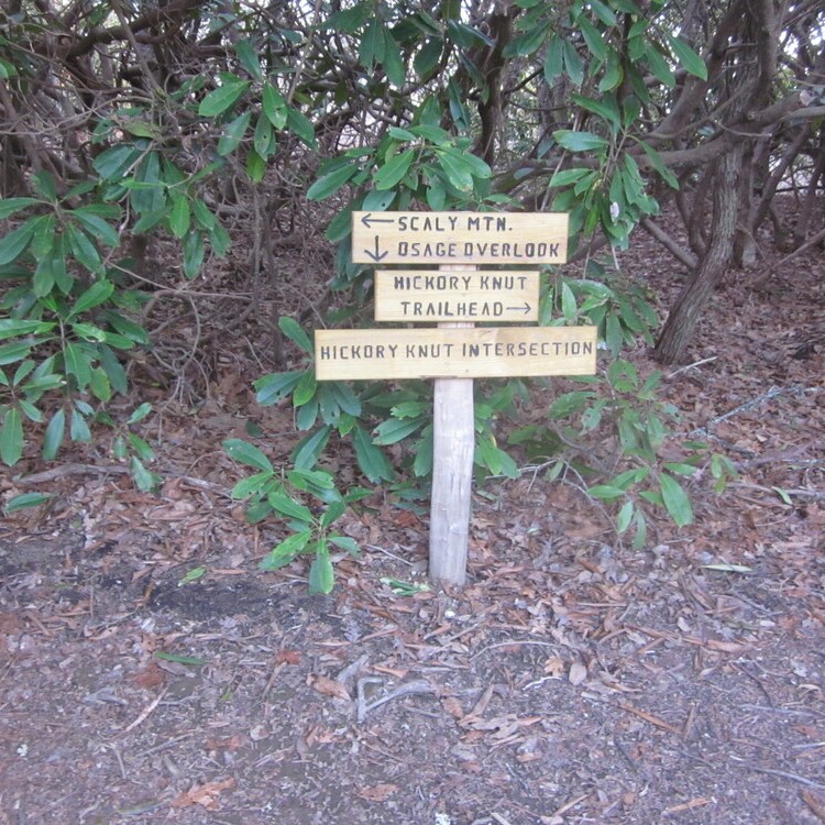
With no great option to camp, I began climbing Scaly Mountain and hoped I would find somewhere to pull over. I eventually met a local out for a walk who advised me that hikers often tent at the Hickory Knut Intersection, where there is a piece of flat land near the top of Scaly Mountain. I would never camp there as a destination spot, but for someone setting up at 7:00PM and leaving at 6:30AM, it was the perfect place. It also got me past an area of wet trail which was mentioned in the guidebook as being treacherous in icy conditions. Given the temperatures, morning ice seemed guaranteed. I was grateful for my encounter with the local – you know you can trust a guy wearing a Georgia State Parks sweatshirt.
It was an accidentally ambitious day – I felt accomplished and tired. I was relieved when the sun went down and the wind did not pick up. I slept, and slept well, for the first time since starting the Bartram Trail. Third night’s the charm?
Day 4: Scaly Mountain to Pre-Hickory Knoll Campsite, 12.0 miles
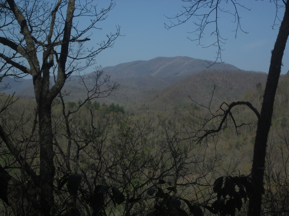
I was thankful all day for the push I made the night before to scale Scaly Mountain. When I awoke after a fantastic night’s sleep, I had only half a mile and 200 feet left to ascend the mountain. The morning views were incredible and I saw two hares on my ascent. More excitingly, I could look back and see Rabun Bald. It was crazy to think I was there under 24 hours ago!
The descent was very long and steep. What switchbacks there were, if any, were steep as well. I knew water was going to be scarce, so I took a long break at Tessentee Camp to camel up and fill everything I had. I then began my 2nd least favorite climb of the Bartram Trail – up and over Peggy Knob, which was over ankle-deep in leaves. I could not see the rocks and roots trying to trip me. Peggy Knob was followed by a straight-up climb up Keith Day Knob. When I say the trail was steep, what I mean is that I could reach out and high-five the ground in front of me.

Eventually I hit the top and really enjoyed a field I walked through — a novelty in this terrain — and the flowers were abundant too. I reached the Jones Gap Trailhead and was shocked to see a person there – Debbie was scoping out the road and trail for a trip she was planning with friends. She told me about the trail section to come, how dry it was, and she encouraged me to take some water from her. She had a gallon jug in her car, and though I at first declined, as we chatted more I saw reason and filled up. Debbie was a true trail angel – I was incredibly grateful for that water in the coming miles.
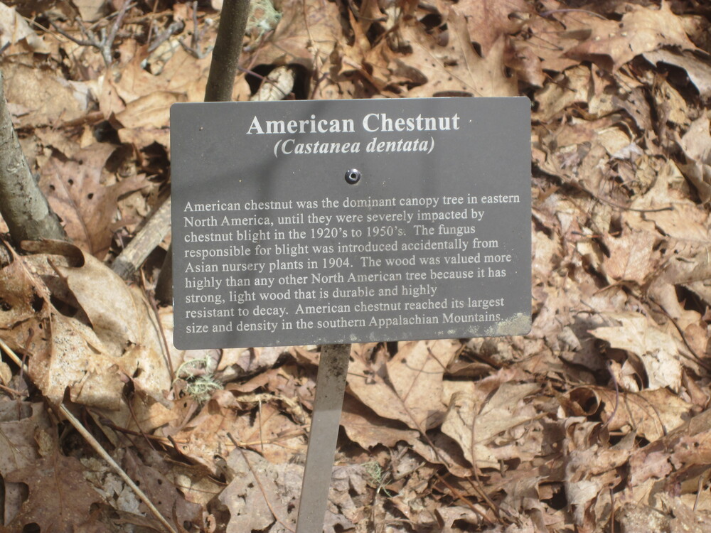
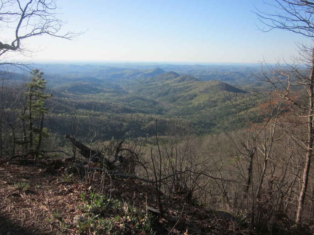
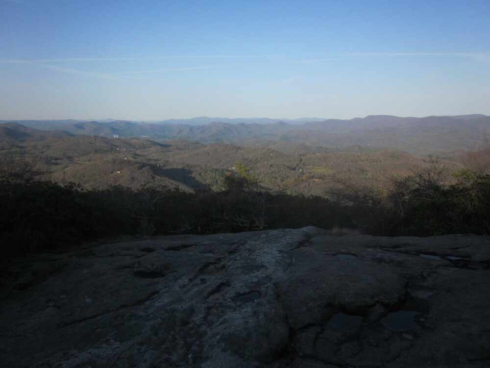
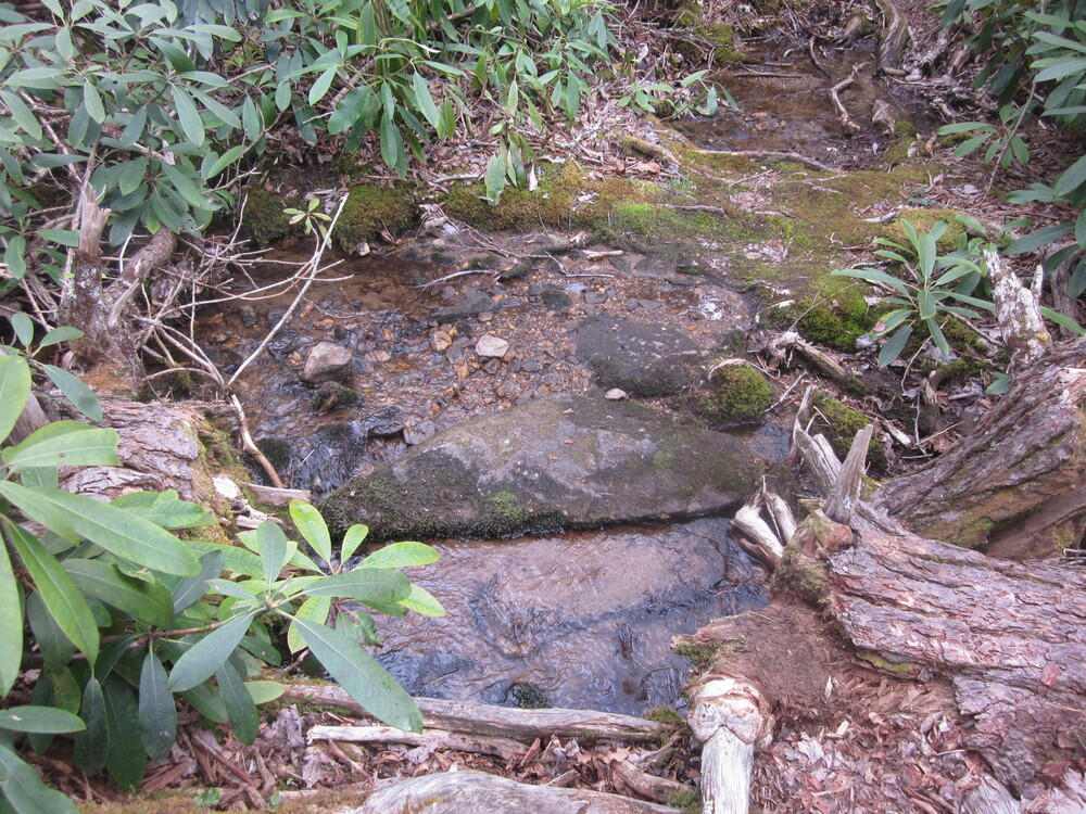
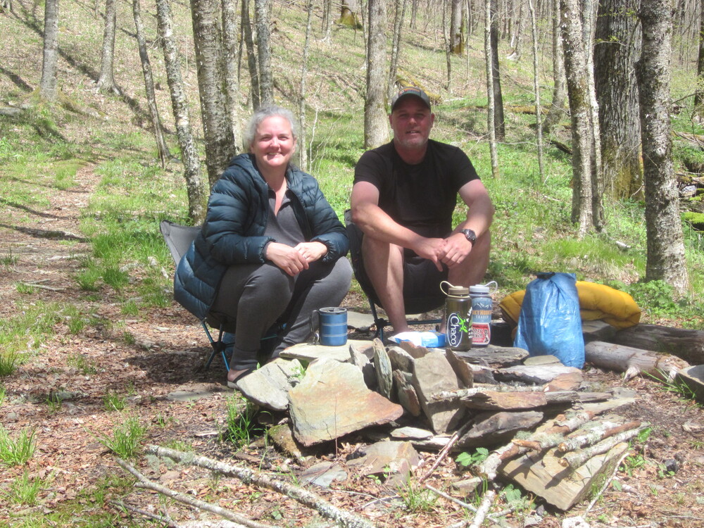
The trail from Jones Gap north was much less punishing than what I had just come through. Because I had enough water, I could go slow and enjoy the plant interpretation along the way – something the namesake of the trail, William Bartram, would have approved of. I am not sure why the trail from Jones Gap has interpretive plaques, but it was really fun. I took a long lunch break at the rock pictured above. Because I had extra water from Debbie, I decided to make my supper for lunch, so I sat at this great view and feasted on mashed potatoes. #livingthedream
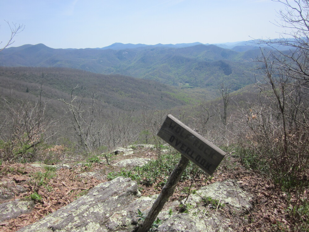
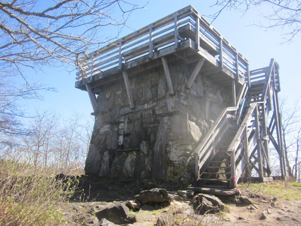
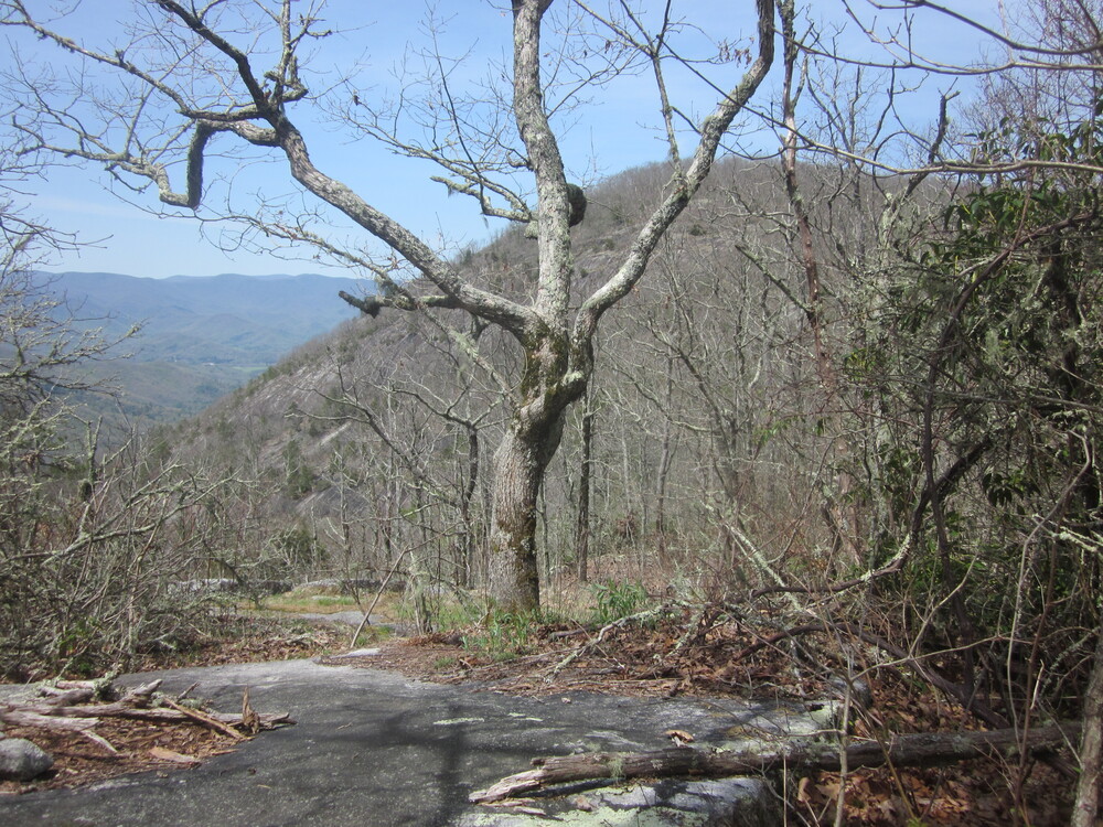
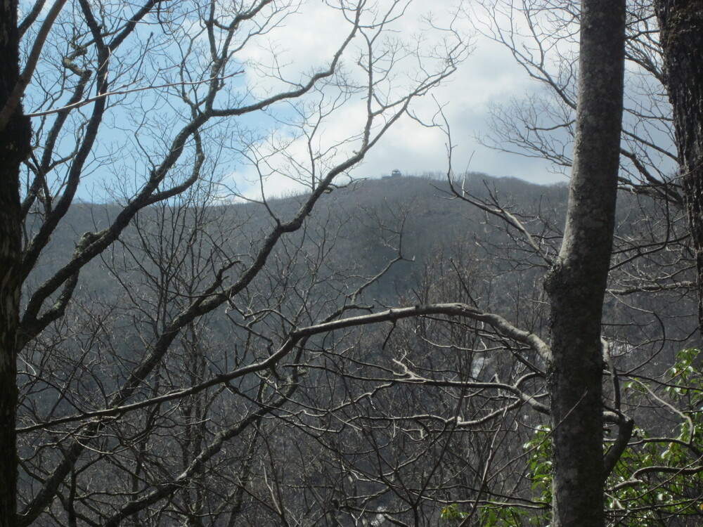
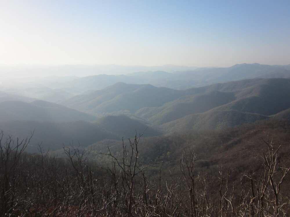
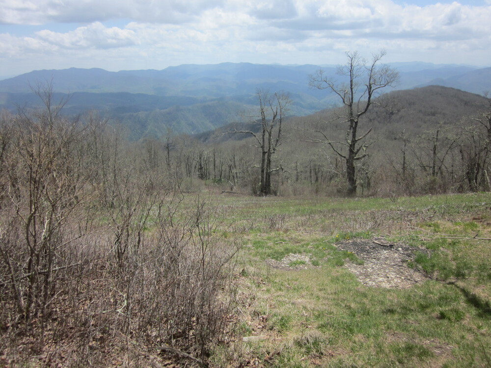
The following miles were my highlight of the entire Bartram Trail. The views were incredible and although it was very hot, there was a breeze. At one point the trail followed a surprisingly narrow ridge to Wolf Rock, where I sat for over 20 minutes, in awe at all I could see. I could trace my day, each gap and peak, and I could look over to see the ridge of the Appalachian Trail – the Albert Mountain firetower was even visible! I would hike this again. It was great.
I had an extended downhill to the next trailhead, but my ride into town wasn’t scheduled until noon the following day, and as the miles ticked down, I could go slow and enjoy everything. And I did. I fully enjoyed this perfect day because of the work I’d done in previous days to get miles in.
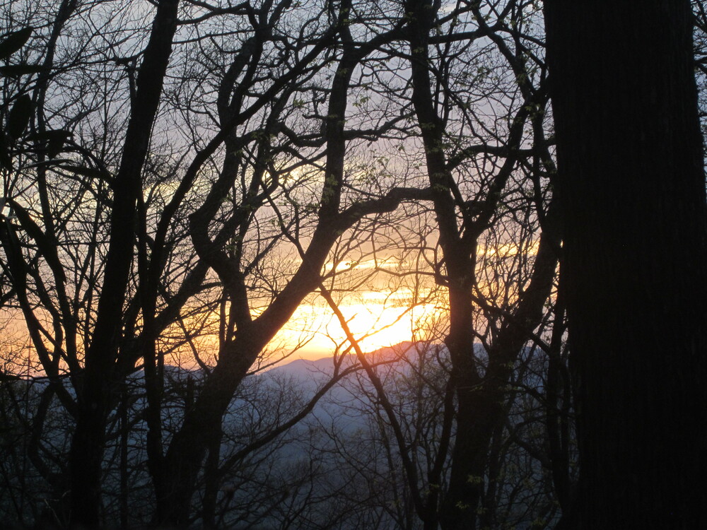
I filled up with water shortly before one of the only camping options in this area – 3.5 miles south of the trailhead, where an old roadbed has been turned into a campsite. I arrived at 5PM and deeply enjoyed multiple hours of sunlight to dry wet socks, watch red-spotted purple butterflies, read books, and soak in the early spring beauty. Sunset was particularly gorgeous.
Day 5: Pre-Hickory Knoll Campsite to Hickory Knoll Trailhead, 3.5 miles
When you hike a little in a day, but not much, it is called a nero (or nearo) day. A day of no hiking is a zero day, so it’s a play off of this term. This was an amazing nero day.
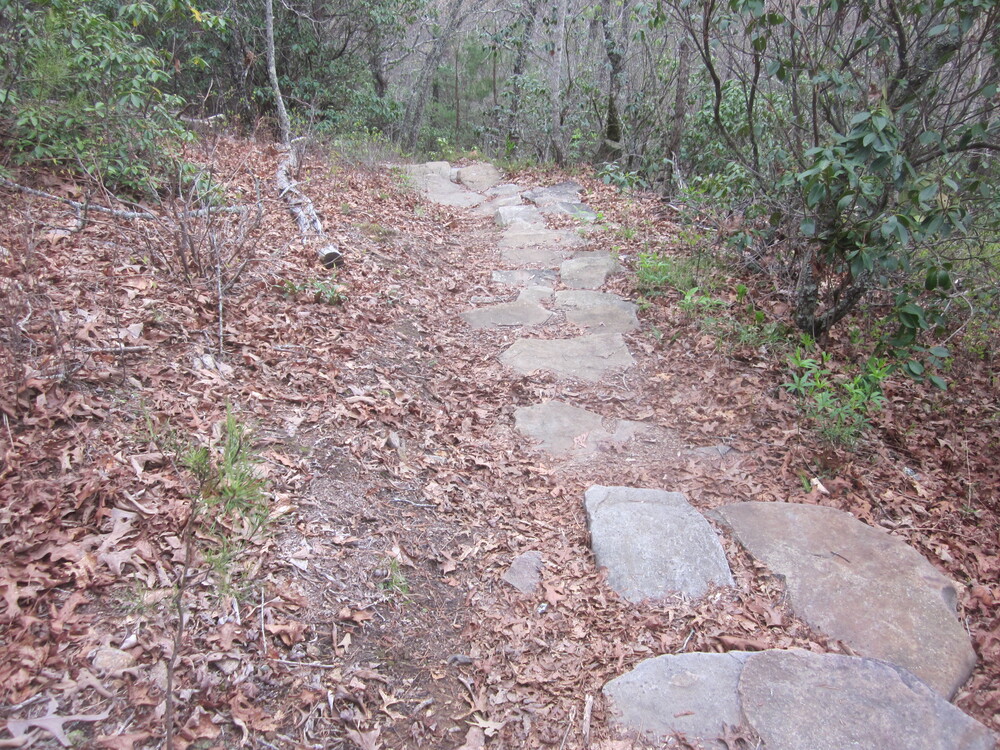
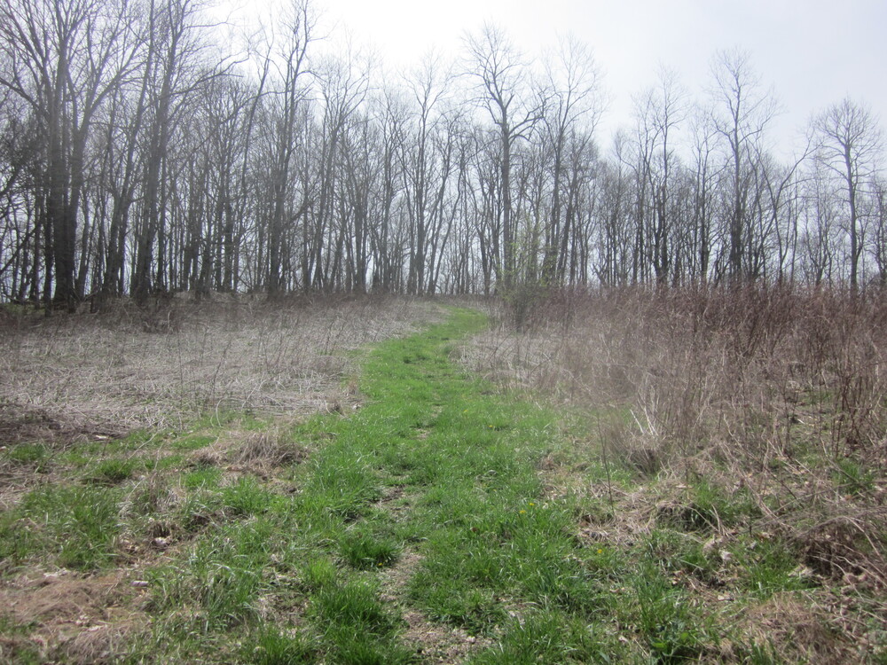
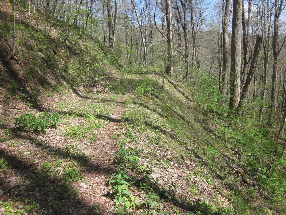
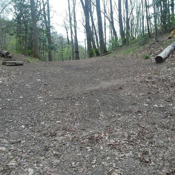
Even though I had until noon to get the 3.5 miles to the trailhead, I awoke at my normal early hour but took my time packing up and hiking. This portion of the Bartram Trail is very new and it is more sustainably-constructed than a lot of the Bartram Trail. I particularly enjoyed the rock steps leading down towards the trailhead. This was an exceptional amount of trailwork.
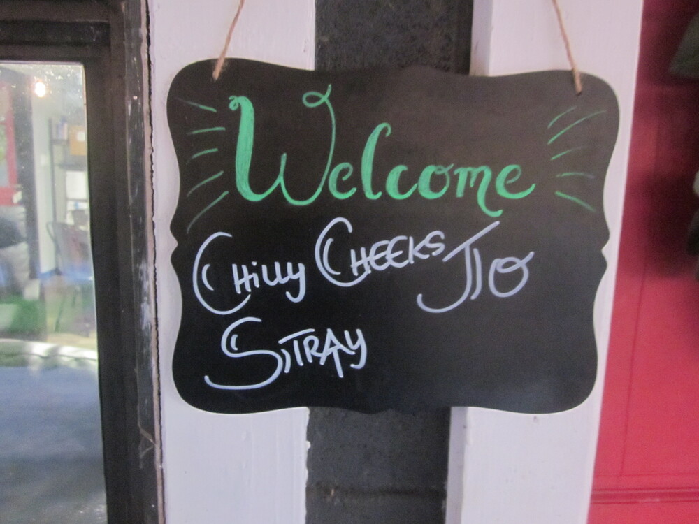
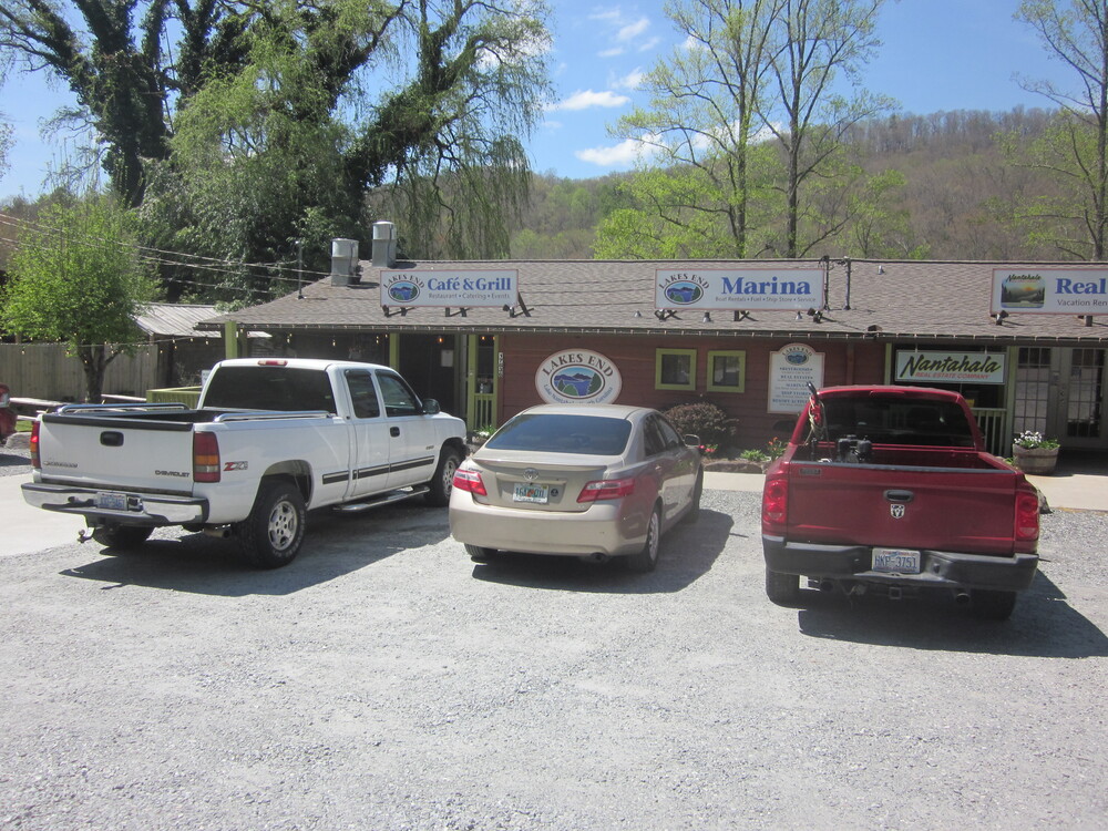
I was picked up by Sunsets and brought to their hostel, a piece of heaven. I was sharing the space with two AT hikers (Stray and Chilly Cheeks), and it was nice to have an all-women crew. I showered, did laundry (with special thru-hiker settings already picked out!), and went to the store to get resupplied. The store was swarming with Appalachian Trail thruhikers. The cashier thanked me for showering before coming in.
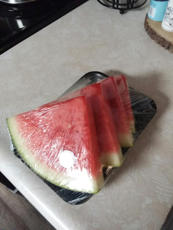

I spent the rest of the day planning my next leg of the journey and eating salad, watermelon, and other delicious things. It was magical.
I did a lot of math and map-staring and concluded that given the upcoming terrain, I should book somewhere to stay in a few days. Although I love camping, the promise of staying at Chica and Sunsets Hostel really got me through some hard miles in the previous couple of days. I found a hostel a few days away and booked a night.
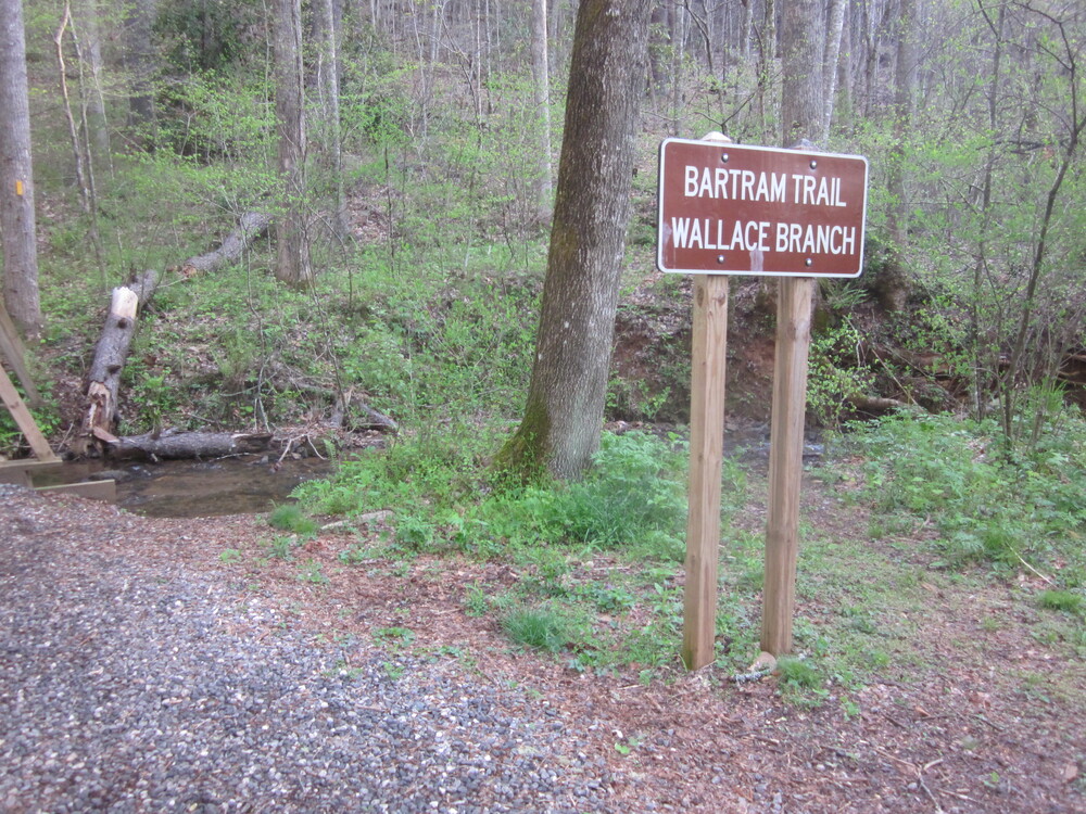
Day 6: Wallace Branch Trailhead to Wayah Creek, 10.1 miles
In the morning I enjoyed a great breakfast and chat with Chica and and Sunsets, Chilly Cheeks, and Stray. As a huge, heartwarming surprise, we learned that a trail angel named Highlander had paid for our stay. It was such a generous, kind thing to do. I hope to be in a position to do something like that someday.
There is a gap in the Bartram Trail around the town of Franklin. The guidebook recommends not walking it. Some people do, seems like most do not. I was not excited about the reports of angry dogs. I do not mind roadwalks, but I do mind dogs. I’ve been through rabies shots once (well, five or six times if you count each shot…) and that was enough. So this morning I got dropped off at the far end of the gap at Wallace Branch Trailhead.
I knew this day was going to be hard. It’s a long way up from Wallace Branch to Wayah Bald, and to make matters more challenging, it is a rollercoaster, so my hard-won elevation was lost many times over. Another hiker said the total elevation gain was 5,000 feet. (You can read that account of the climb so you know I am not exaggerating.)

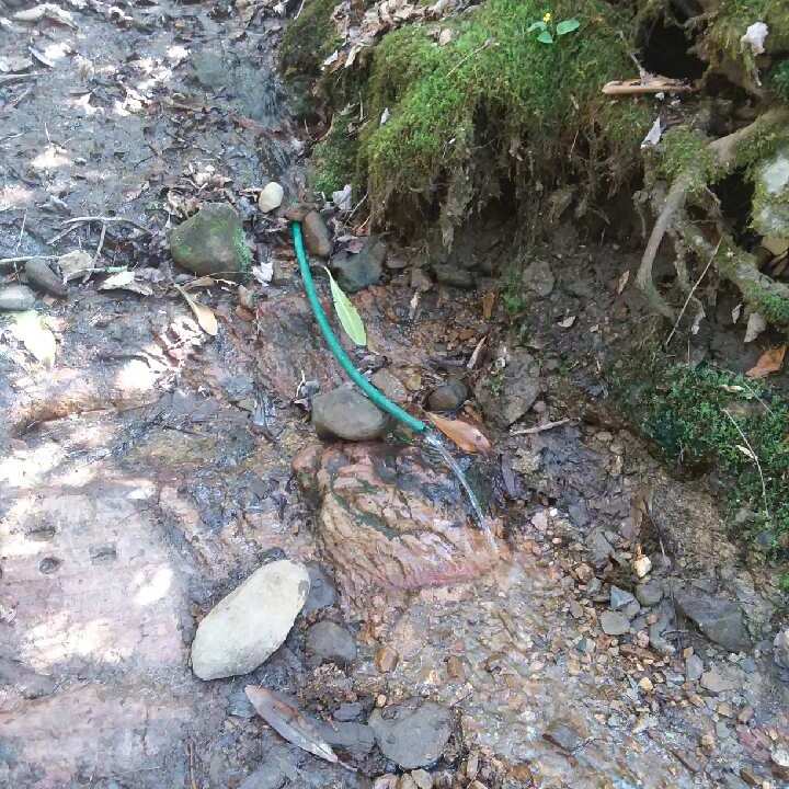
The only reliable water on this section is right at the start of the hike. There’s a side trail to water a couple of miles in, but I was told it is hard to get to and often dries up. When I reached the side trail, I was still mostly full, so I kept climbing. I was still optimistic about the day.
Unfortunately, soon after I passed the side trail to questionable water, it began to get hot, and soon it was at least 80 degrees, which for me is very hot. An additional challenge is that leaves were hard to come by. Only in rare pockets of laurel could I get even a small hope of shade.

I tried to find beauty in spring growth and humor in blowdowns, but it was hard. I met two southbound hikers and both warned me about the lack of water (which I of course knew) and both looked really miserable. Even though they were primarily descending, they would be gaining about 1800 feet due to the rollercoaster.
It was really hard to find any joy or optimism as the day wore on. It was rough, endlessly steep, and simply relentless. I was wet with sweat, so when I stopped to take a break, I would cool down quickly, but each break meant I was not making progress towards water. Ten minute breaks add up quickly. At some point I decided I had to get to water more than I needed breaks. I was really struggling.
Just below it is the water source I needed.
At this point I was almost there, yet too far away.
The hardest part of the climb was the final portion. There was not a shadow to be found to protect me from the heartless sun, and the trail was so steep I worried that I would pull a muscle. There were switchbacks on occasion, but they were more an idea of a switchback. Up up up. It didn’t stop.
I ran out of water 0.7 miles before I made it to the water source. It was hard to not panic, as I knew I had been dehydrated all day and I continued to bake in the sun. This was without a doubt the most dangerous moment of the entire Expedition LOST.
But I finally (!) reached the stream. I sat and I drank an entire liter and found a place to camp near the water so I could hear it and be comforted. This was my most brutal day on any trail in a decade. Except maybe the Frying Pan Lake incident of the Solitude Trail. Maybe.
In retrospect, I should have taken the time to take the side trail to water early on in the day. I could have taken a half hour break there, drank until I could drink no more, and carried on. It would have helped split the day up, even if the bulk of the hard stuff came towards the end. It didn’t feel worth it because my bottles were almost totally full when I arrived at the side trail. My bottles may have been, but my body wasn’t.
Day 7: Wayah Creek to Flat Creek, 10.6 miles
I had only 500 more feet to ascend to Wayah Tower. I awoke feeling so much better about life than I had 15 hours previously. I reunited with the Appalachian Trail and saw that where I had planned to camp, right at the intersection, was closed for rehabilitation. I was so grateful I’d stopped when I did, at the little stream the day before.
I passed a lot of campers on my way to the tower, and then I turned a corner and was smack in the middle of a wedding party getting photos. It was really surreal to be out there, not long after dawn, surrounded by swanky-looking people. It was impossible to get a picture without the wedding party there, but here I just got one dude’s back. Pretty good.
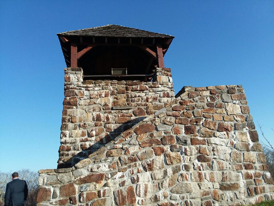
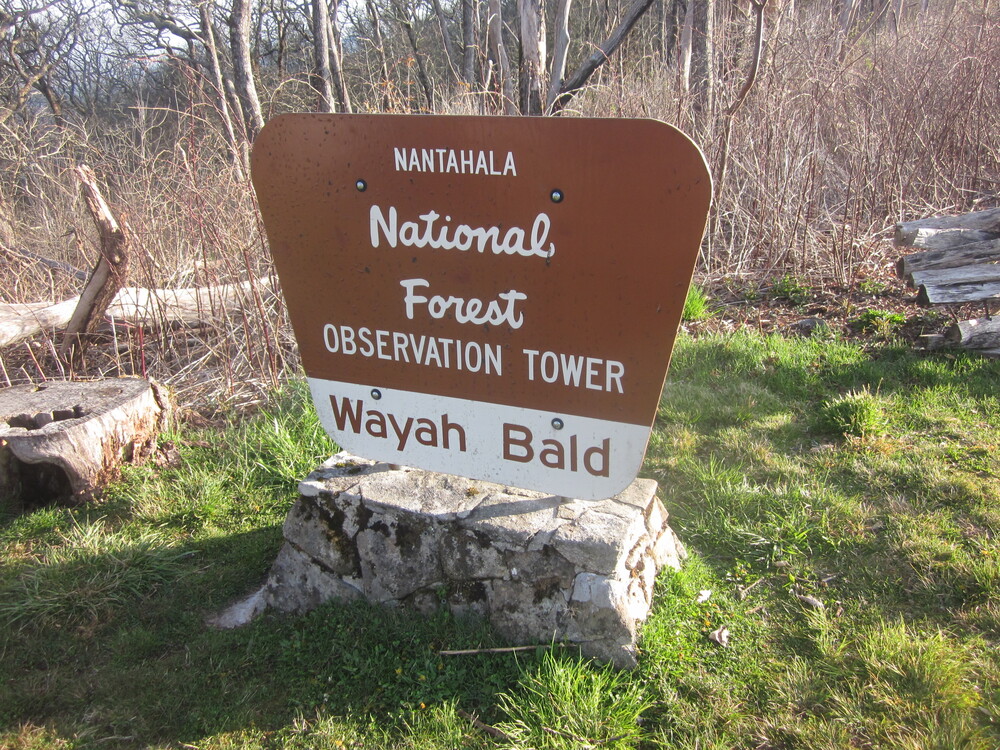
I have a very clear memory of what the Wayah Bald area looked like in 2010 when I was southbound on the Appalachian Trail. The tower looked the same, but the surrounding area appeared very different from my memory. I wonder if my memory has morphed in the last decade or if there was a major change.

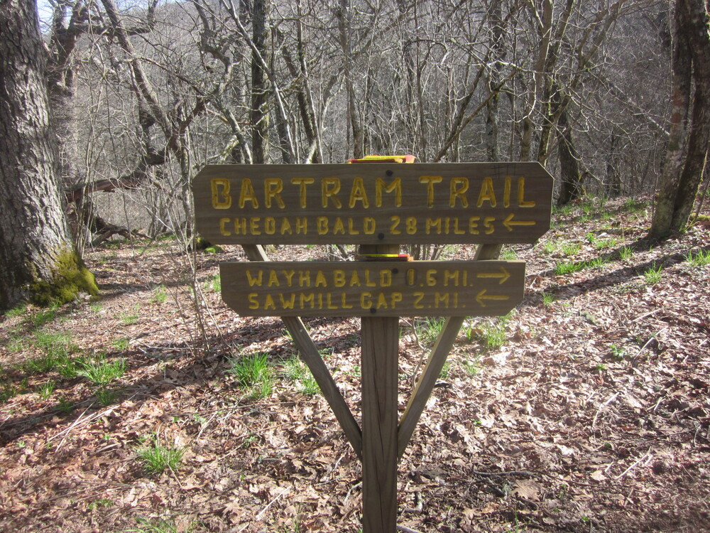
The Bartram Trail and Appalachian Trail coalign for a couple of miles in this area, and oddly, to go northbound on the Bartram Trail, a hiker needs to go southbound on the Appalachian Trail. In doing so, I got to see Stray and Chilly Cheeks again, plus about 20 other hikers. I filtered water at Wine Spring and was relieved to leave the busy white blaze.

Descending away from the Appalachian Trail, the Bartram Trail was absolutely beautiful as it headed through a field — until I heard gunfire. Checking my map and guide, I learned that the trail is above a gun range. I hiked quickly.

The trail bumped up and over Jarrett Bald and down a descent so steep I often had to hang on to laurel shrubs just to keep myself upright. It appeared that there was little attempt to route the trail in anything other than a plummet. While going up would be harder, going down was a war with gravity too, and by the time I reached the bottom, I was sweaty, my arms were sore, and everything else hurt too. I had to laugh at what the trail had thrown at me in recent days.
It was a relief to have a short roadwalk around Nantahala Lake connecting sections of the trail. Even better: the sometimes-open cafe on the roadwalk was open, and soon I was sitting in the shade drinking Sprite (with ice) and eating a BLT. There was no hint of cell reception, but there was wifi so I let people know I was alive. It was 80 degrees in the shade.
I hiked only a couple more miles after my early supper. Given my hostel reservations in a few days, there was no real incentive to hike any more miles. I pulled over a mile from the Nantahala River near a little creek. I rested, read, and watched an owl.
Day 8: Flat Creek to Ledbetter Creek Campsite, 15.9 miles
A loud siren startled me at 6:30 as I was packing up. It was a long, sustained drone, and I had the immediate hunch that the noise meant my day was going to be more interesting than I had anticipated. I was right.
A mile or so into the day I arrived at the Concrete Ford. I have crossed many fords like this and generally, they are easy to walk across. But on this day, the best I can figure is that the siren meant they were releasing water at the Nantahala Dam. Pictures do not do the water justice. It was FAST. I should have taken a video. And in the middle, it was very deep. I knew I could get a third of the way across, but I did not think I could possibly reach the other side without getting swept downriver.

I sat and ate breakfast while assessing the situation. I could not go forward. I could go back. Or I could take a chance and follow the road I had just crossed, which was not on my map. I tried to get reception to check, but I was in a dead zone. I decided to risk it, and I started hiking up the road. I kept my phone turned on and somewhere, somehow, I got a whisper of reception, just enough to load Google Maps and confirm that the road went where I wanted it to go. I followed the road, connected to a larger road, and arrived at Appletree Campground in about an hour, meeting up with the official Bartram Trail.

It was the best possible outcome. The Bartram Trail on the other side of the Nantahala River is a roadwalk as well – albeit a more rural and prettier road. But because it was so early in the morning, I did not even have to tango with traffic. I saw two cars in the entire hour. Cannot complain. I felt so relieved to be reunited with the trail — and to have noped my way out of the Concrete Ford.

I ate a second breakfast at Appletree Campground and began a lovely stretch along several fairly flat miles. This was followed by two short ascents on old roadbeds, meaning they were sanely graded and offered easy hiking. There was one creek ford, but it was benign.
I reached my projected campsite at 2PM and knew I wanted to continue on. On top of Rattlesnake Knob, my last climb of the day, I had cell reception and pulled over to catch up with loved ones. I then dropped down a very steep trail, slick with pine needles, until I reached a surge tank. I was then on a old road until I reached the Nantahala River again. Lots of people were hanging out around the river.
In just a couple of miles I made it to the first crossing of Ledbetter Creek where I set up my tent and rested. The campsite is near a railroad, but I didn’t hear a single train, and anyway the creek was so loud I probably wouldn’t have heard one anyway. I knew that the following day was going to be a lot, so my extra few miles this day were really well-timed.
Day 9: Ledbetter Creek Campsite to Terminus and Locust Tree Gap on the Appalachian Trail, 7.0 miles
Although I was only 4.6 miles from the terminus of the Bartram Trail, the trail dead-ends 5+ miles from a road, and I wanted to be fairly close to that road by nightfall. There was weather blowing in, and I had no desire to be at a high elevation when it arrived.
In a hopeless attempt to beat the heat, I was on trail by 7AM but I had sweated through my shirt in half an hour. I had 3,000 feet to ascend, but today’s climb was different from the Wayah Bald climb: this climb had WATER. Some might say it had too much water – I lost track of how many fords I had, but none were dangerous. Sometimes the most dangerous part of a ford is when people try to keep their feet dry, so they rock-hop or balance on unsafe logs — I didn’t even try. I just bounded right into the water. After the Wayah Bald climb, I would have climbed the entire way in water and been happy about it.
Another reason I loved this climb compared to Wayah Bald: although there were small occasional dips in the trail, there was no major elevation loss during the climb. Each foot I gained, I kept. Psychologically and physically, that really helped.

About a mile from the top, I met two backpackers who were camping out. I was happy to get intel about the water (or lack thereof) for my final Bartram Trail mile. Learning that their spot was the last real water for me, I stopped to filter water, have a snack, and continue chatting with them. They were the first backpackers on the Bartram Trail I really talked to. We had the best time making fun of the trail (lovingly). Every trail has its quirks, the Bartram Trail is no exception.
The encounter with this couple really buoyed my spirits. It felt a lot like how the Appalachian Trail was a decade ago: I had a guidebook, but I wanted to mine their knowledge and they asked me questions too. In this era when most trails have an app, I deeply enjoyed the conversation sparked by questions we both needed answers to. Would we have had such an in-depth talk if we had an app? I don’t know. There are reasons to use an app for (certain) trails, I just wish it was not the norm. I know, I’m showing my age. App rant over.
I resumed my climb and was soon standing at the Bartram Trail junction with the Appalachian Trail, which I would follow 0.2 miles to the Bartram Trail terminus at Cheoah Bald. I climbed and climbed and then I was there.
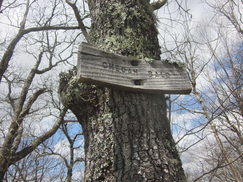
Done! I hung out on top for half an hour, enjoying life and being amused when the only people I saw and talked to happened to be from Minnesota and one was wearing a hat sold by my former employer. Small. World. Mostly I was just happy because after over a decade of dreaming, I could finally say the Bartram Trail was complete!


Except not really. Because Stecoah Gap, the nearest road, was still 5.5 miles away, and my hostel pickup wasn’t until 1pm the following day. So I headed down the Appalachian Trail to Locust Tree Gap, where I planned to camp out. Although I hiked this in 2010, I remembered very little of it except the never-ending elevation change – by the time Karma and I reached this area, it was late November and it was cold and brown. It was a joy to see the trail in shades in green instead. It was also fantastic to be heading downhill after an entire morning of ascent.
That night I shared the campsite with several AT thruhikers. It was a little funny because I sure looked (and smelled) like an AT thruhiker, so I fit right in. No one questioned my presence. I was just another thruhiker, and I liked that.
The night was not particularly restful, as multiple bears were roaming the woods around the campsite and a demented mouse kept trying to climb my tent for reasons unknown. Only on the AT…
Day 10, if this counts?: Locust Tree Gap to Stecoah Gap, 3.1 miles
Although I had finished the Bartram Trail, I still had a few more miles to get to Stecoah Gap where my hostel pickup would be. I had a tough decision to make: with only 3 miles to hike before 1PM and a storm blowing in, I needed to decide whether to stay in my tent until an hour or two before the pickup time, or to pack up before the rain and keep things dry, sacrificing my own comfort and dryness.
I opted to get wet and save my stuff. I hiked slowly, enjoying each step even as it began to spit rain. At first the rain was gentle and pleasant and then it was a bit torrential. I was not looking forward to arriving at the trailhead and waiting for hours while wet. Hiking while wet is bad enough; standing still while wet is miserable.
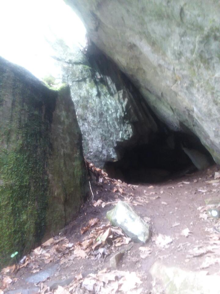
And then some magic happened. Half a mile from the trailhead I turned a corner and saw a dry rock overhang, a bit of a cave-like structure but not really a cave. I set up underneath the overhang, dried out, snacked, and enjoyed being somewhere dry.

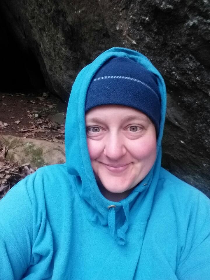
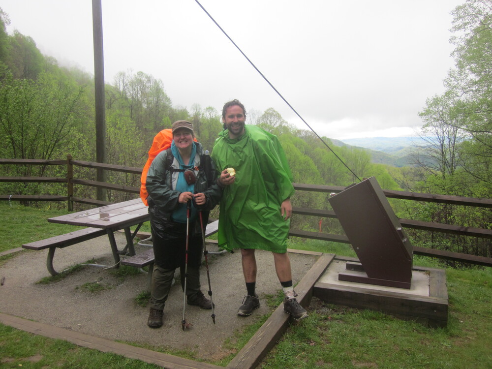
At some point a hiker came by who took me up on the offer to share my shelter. Everyone else was hurrying along. Thruhiker Chilly sat and ate lunch with me. He is from Thief River Falls, Minnesota. What are the chances? Is half the state on the trail this year?
Shortly before my pickup time, I hiked out of the woods and hung out at the trailhead and took a picture with Chilly. Once you hang out with someone under a rock for an hour, you’re friends. I soon got picked up and had an amazing and recuperative night at Hawks Haven.

The Bartram Trail was a dream come true. It was worth waiting for, but I should have prioritized it more highly in previous years. For those of you considering it, check out this advice.
