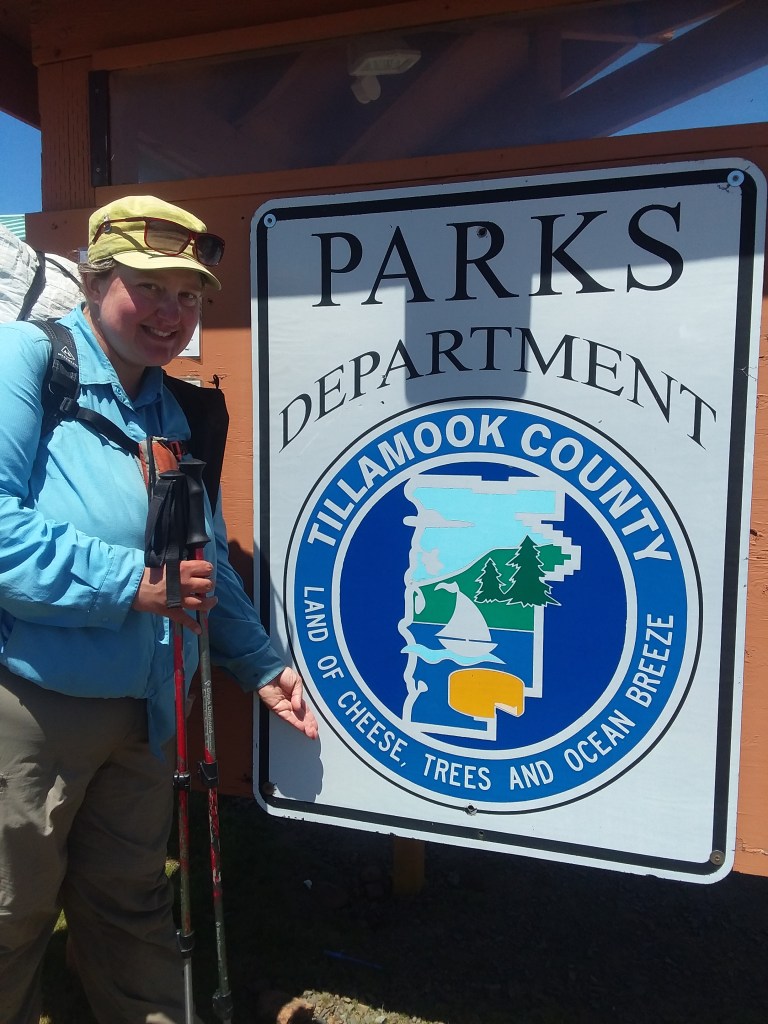
Julie and I were supposed to hike the Montana Continental Divide Trail, but strange situations conspired to make it feel like a bad idea. When Julie suggested we instead consider the Oregon Coast Trail, I was not really into it. But the idea grew on me and, with no regrets, I headed farther west.
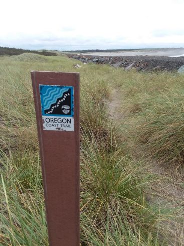
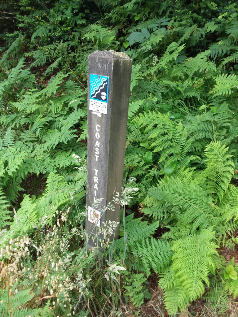
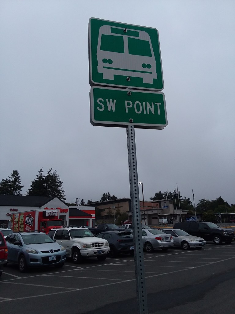
The Oregon Coast Trail is not like other trails. It is incomplete and often spits hikers onto Highway 101. But Oregon has a vast public transit network. The guidebook highly recommends taking advantage of any opportunity to avoid roadwalking on Highway 101. There are hikers who connect every step of the Oregon Coast Trail, but I can’t see a single good reason to, other than for bragging purposes, which isn’t something I am concerned with. In the journal below, you will see many references to transit other than walking. To avoid Highway 101, we took a train, an Uber, half a dozen buses, and caught rides with trail angels. I have no remorse. I had a safer and a better trip because of this. I would absolutely recommend anyone thinking of this trail to toss away ideas of purism. And check out my Oregon Coast Trail Advice.
On Day 3 of the hike, we met a solo northbound hiker named Casey who told us that she named each day. Julie and I loved the idea. You’ll see that I too named each of our days.
At the bottom of the journal below, I compiled a list of our superlatives regarding the trip.
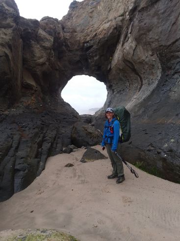
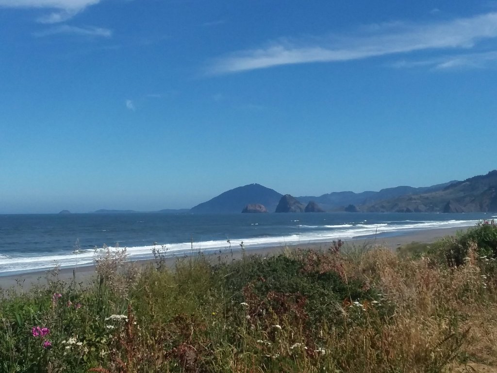
June 18, Day 1
5.5 miles
Fort Stevens Hiker Biker Camp
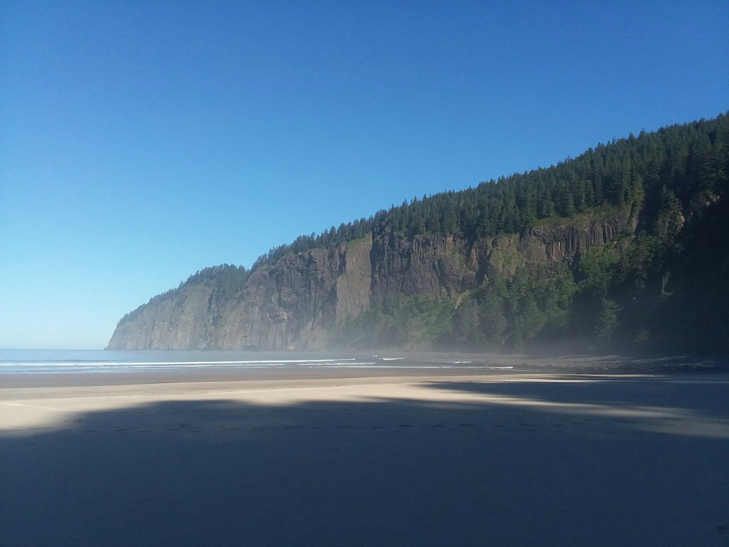
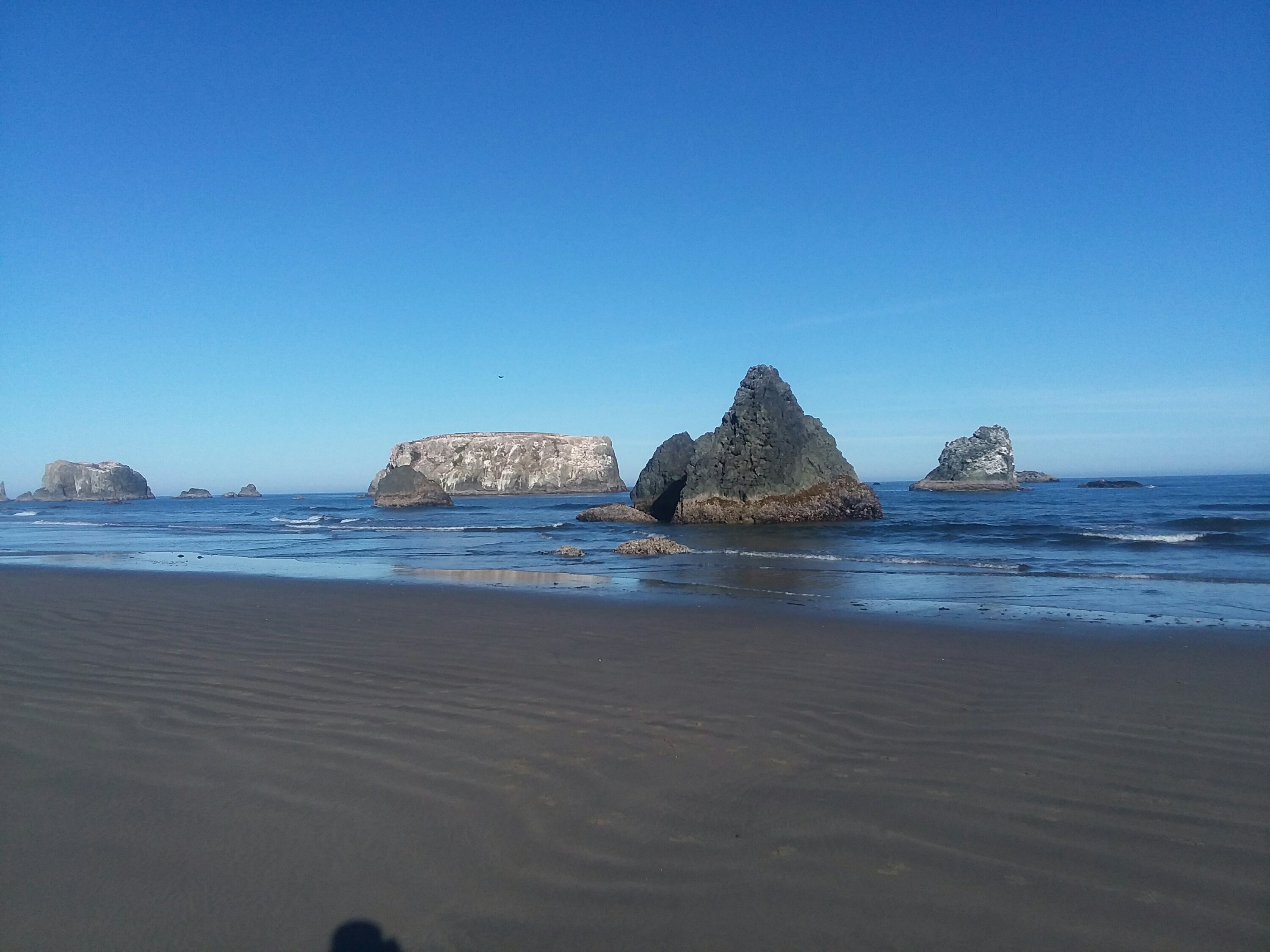
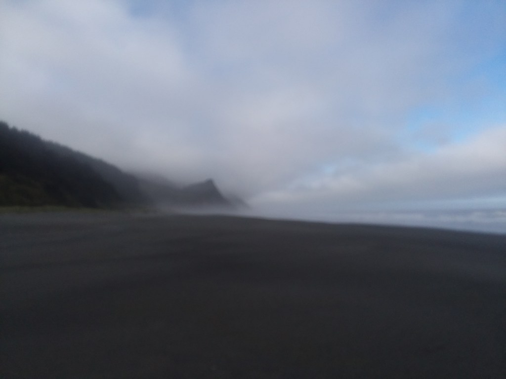
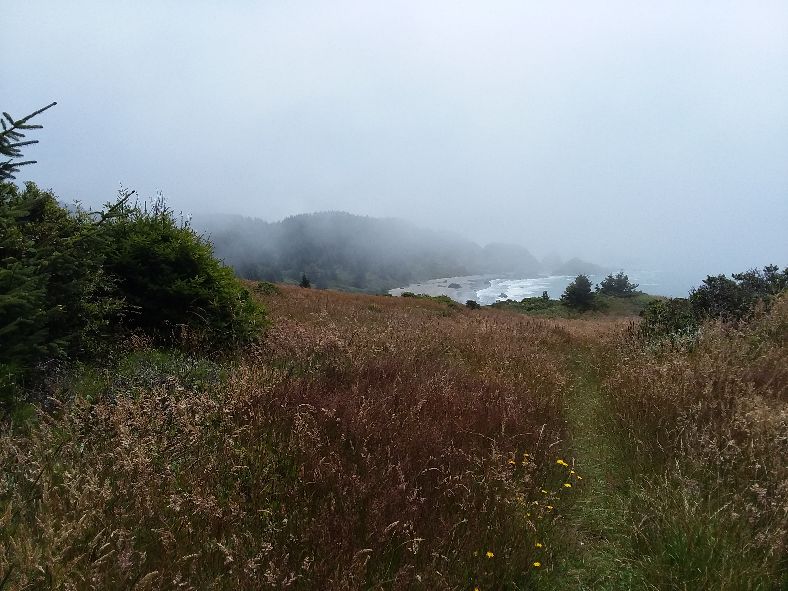
Incredulously, Day 1
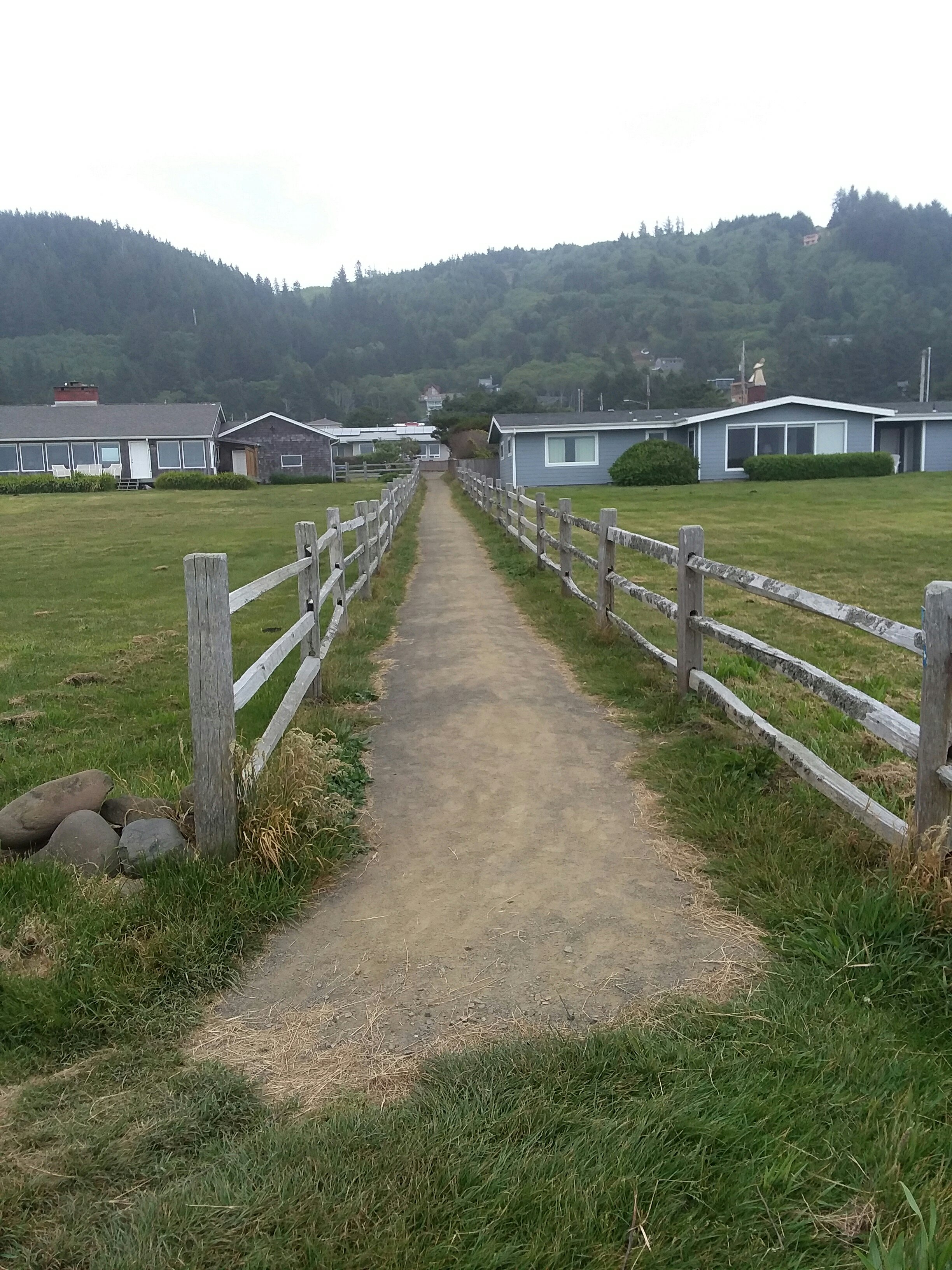
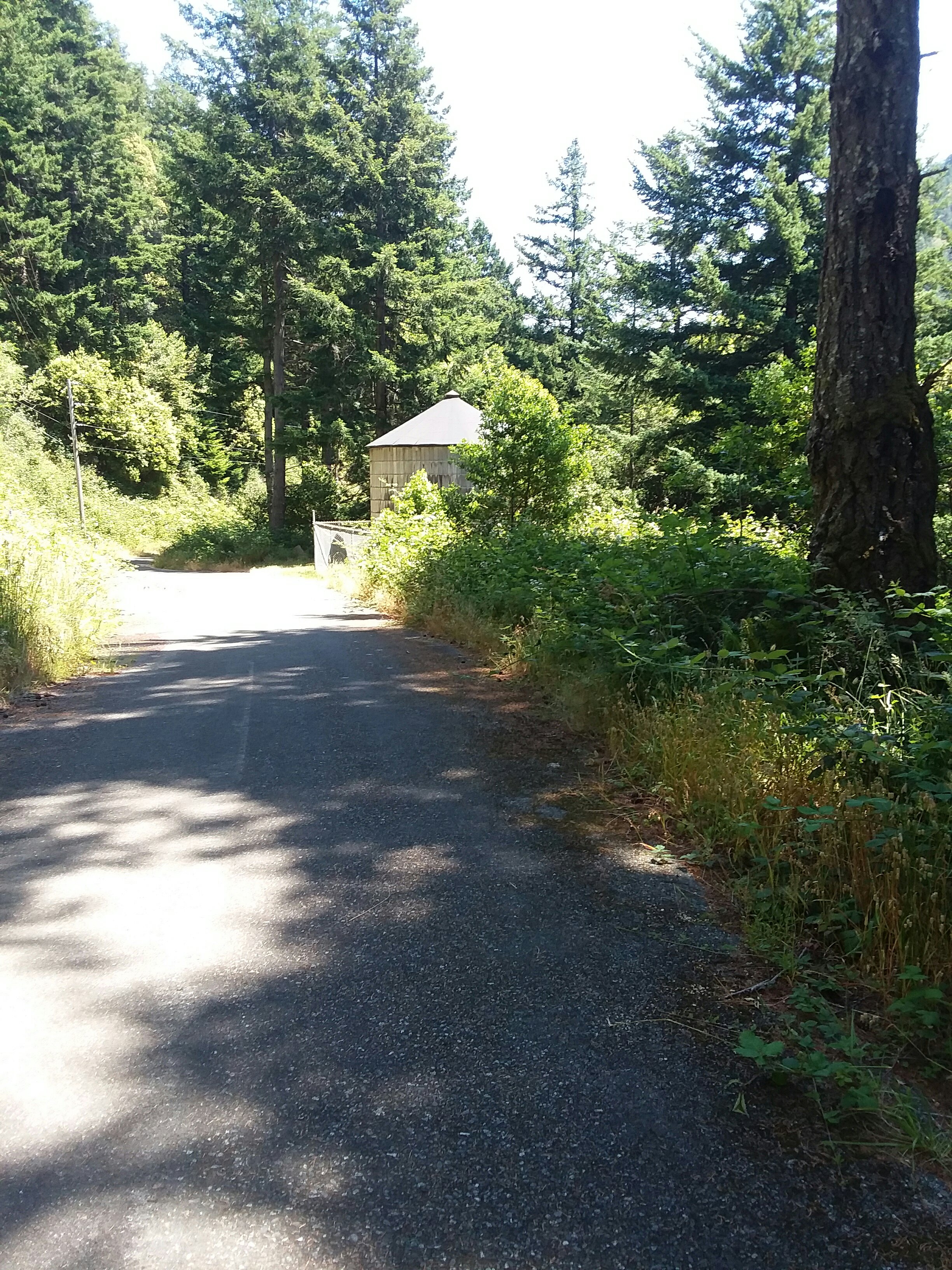
By some miracle, despite a delayed plane and quick connection (Julie) and a toddler with a medical emergency during plane boarding (me), we and our $4 thrift store suitcases made it to Portland on July 17. The following morning we walked to Union Station and took a bus to Astoria where we packed our bags and donated the junk suitcases. They had done their work to protect our belongings. Finally we took the most delightful cab to Fort Stevens State Park where the trail begins.

All told, it took almost exactly 24 hours to get from Willow River, Minnesota to the Oregon Coast Trail. That included a ride from Mom (thanks!), shuttle van, airplane, MAX light rail, walking, bus, and cab. Seven! Seven forms of transit! Ah ah ah!
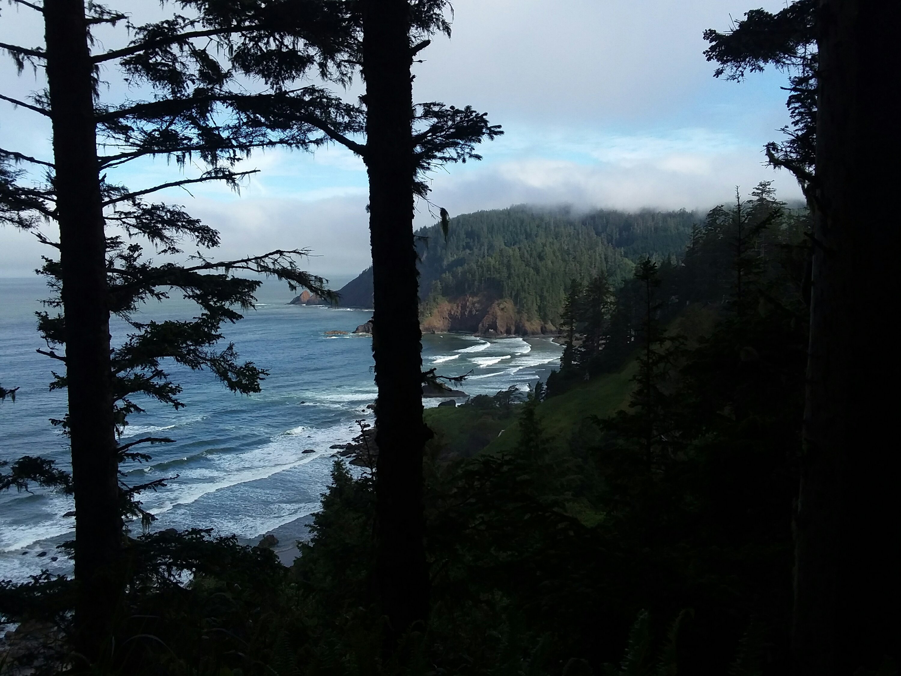
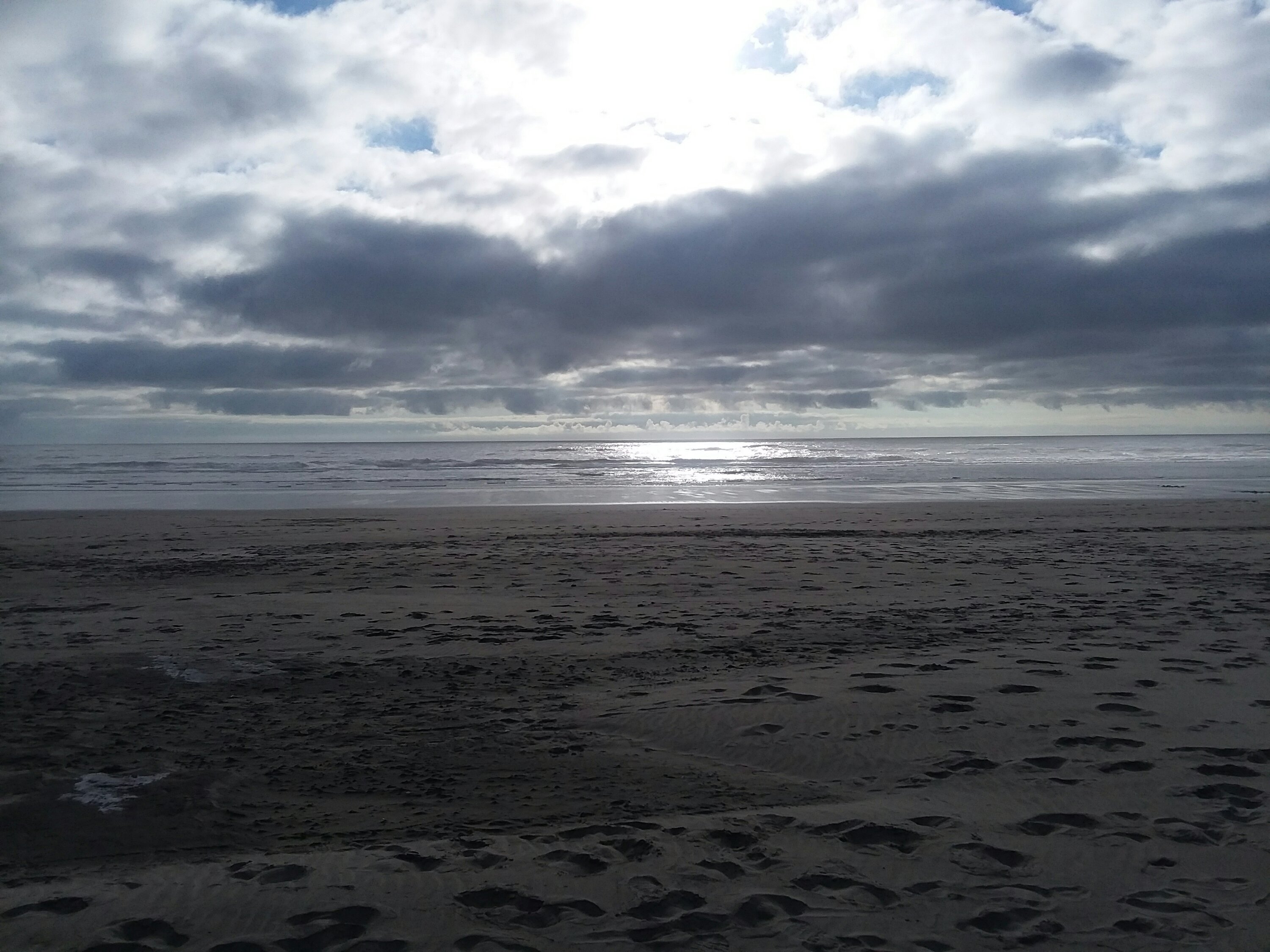
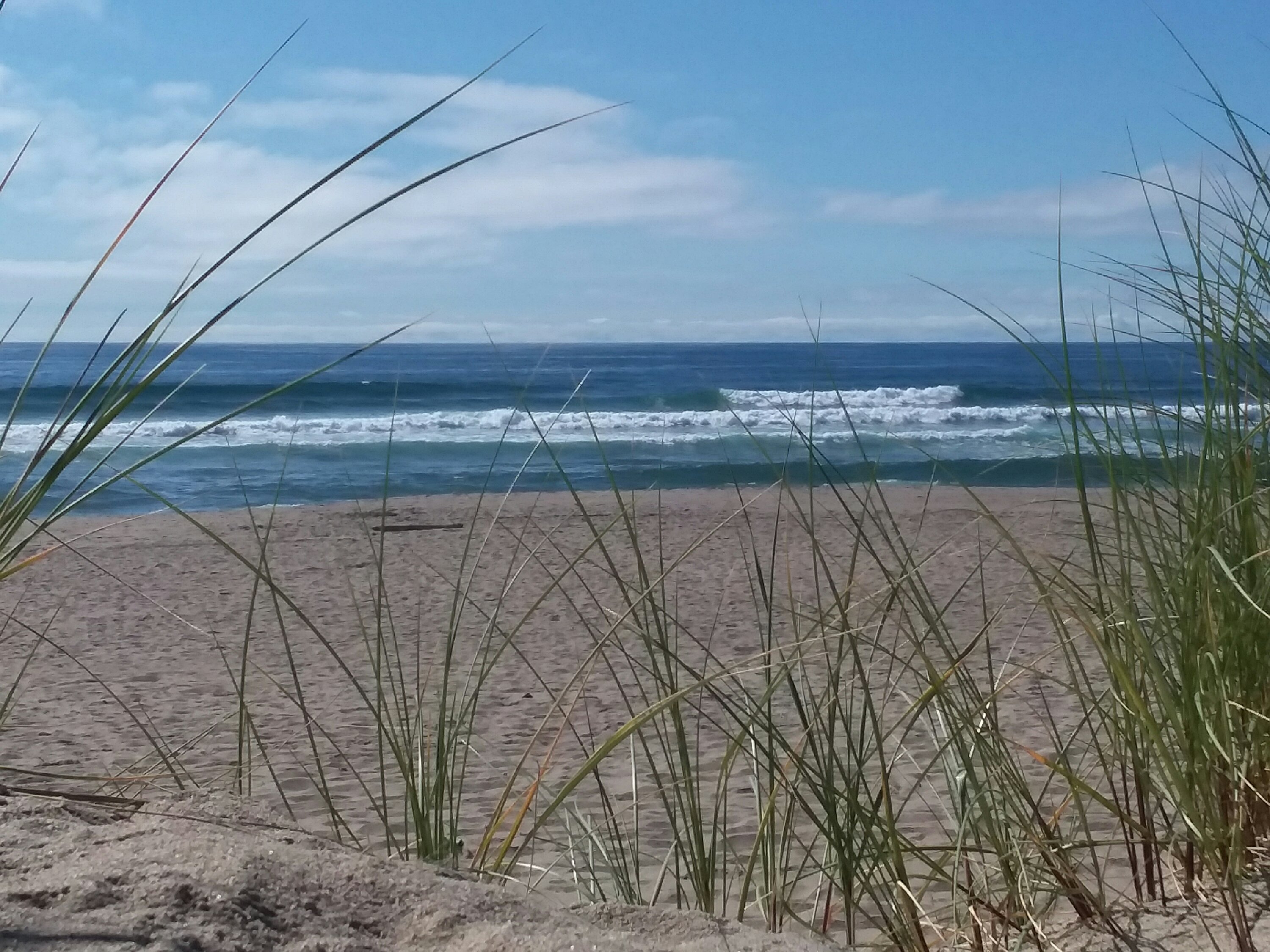
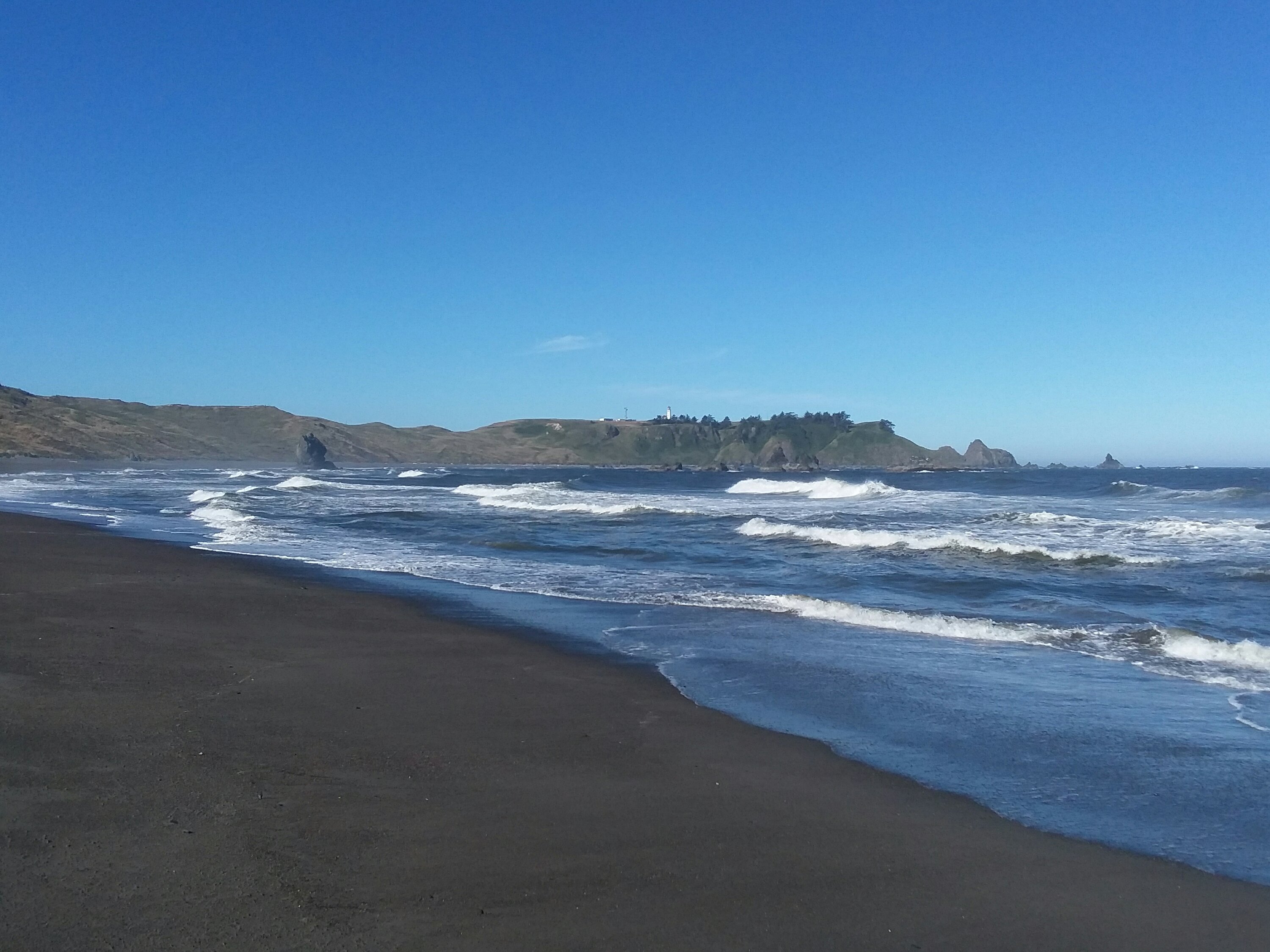
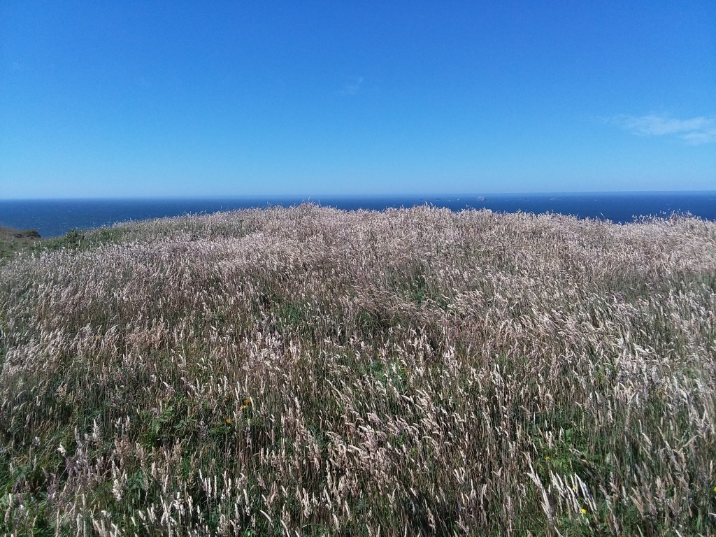
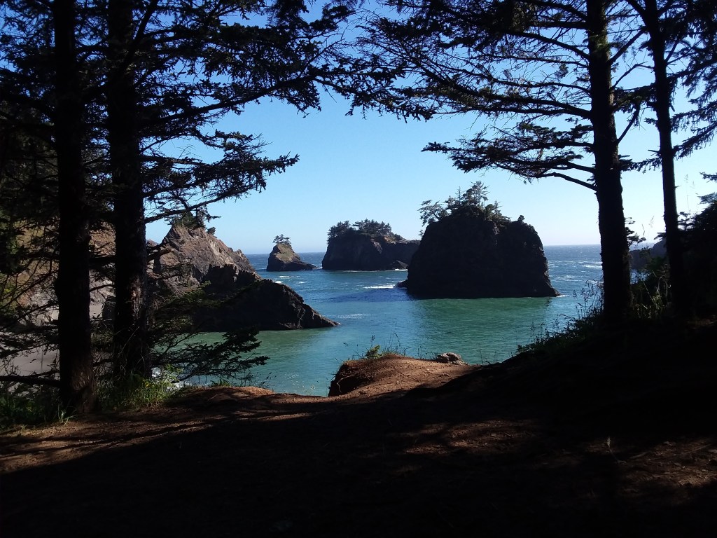
We climbed the observation tower, took lots of pictures, and began our hike. It was fascinating to see eagles and paragliders, and it was also amazing to smell the ocean. I had not seen the Pacific Ocean in probably a decade.
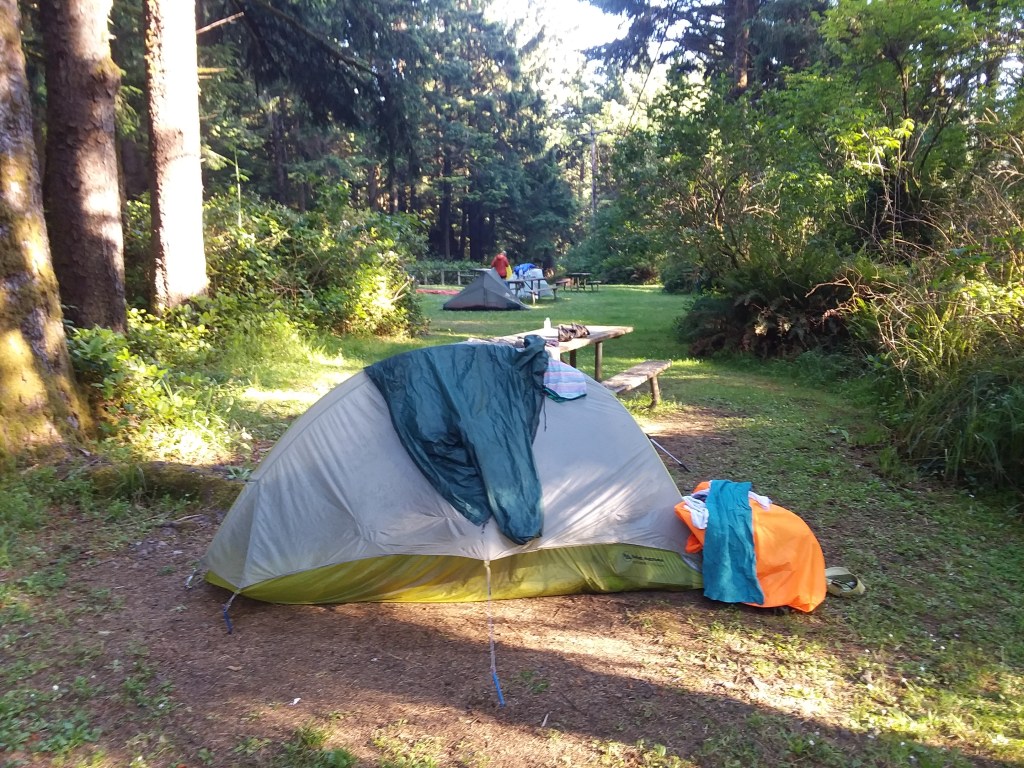
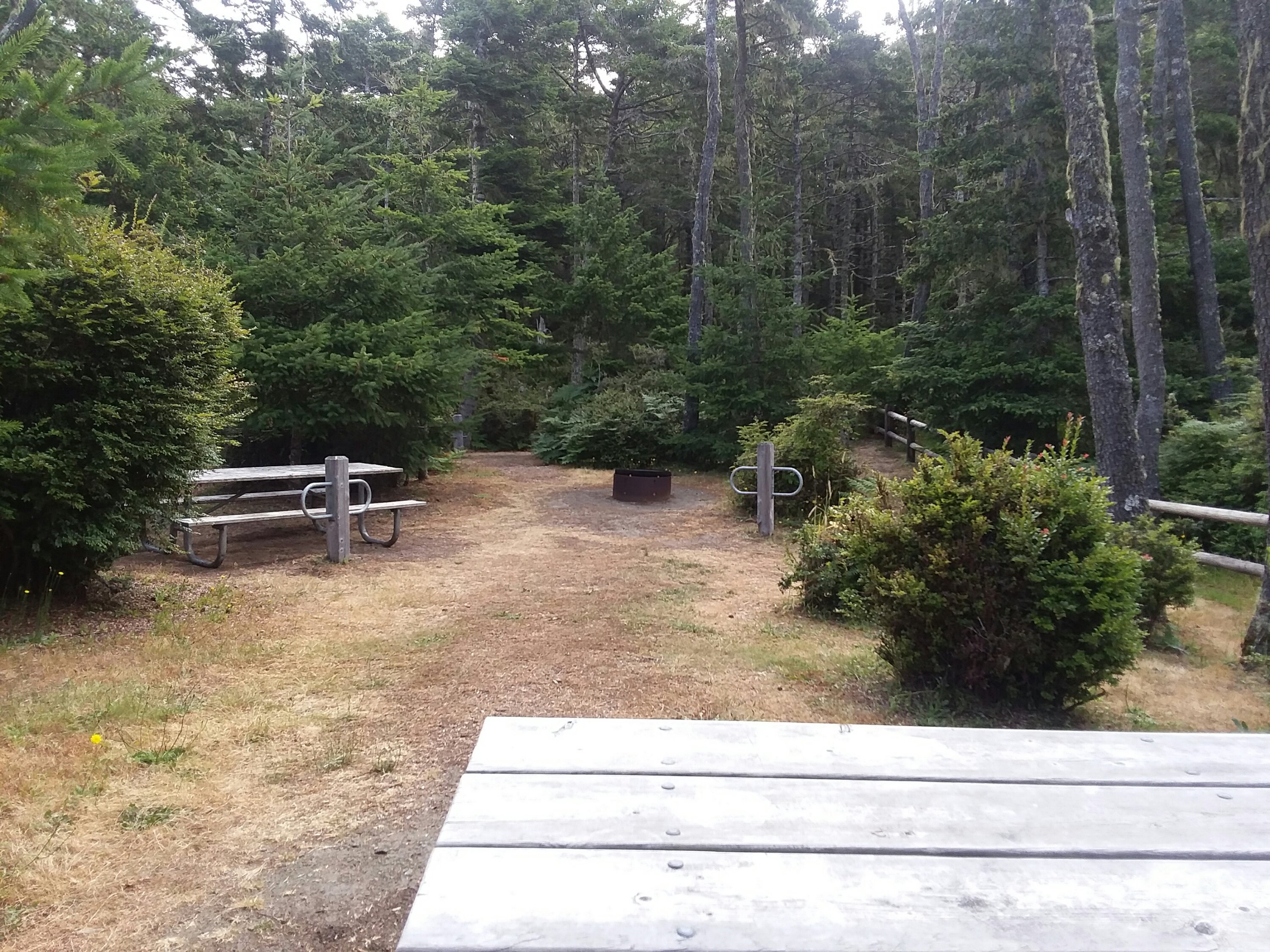
Due to the late start for the day, we only went about five miles to the hiker biker camp at Fort Stevens State Park.

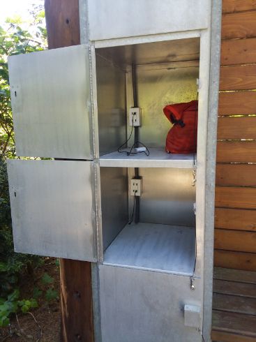
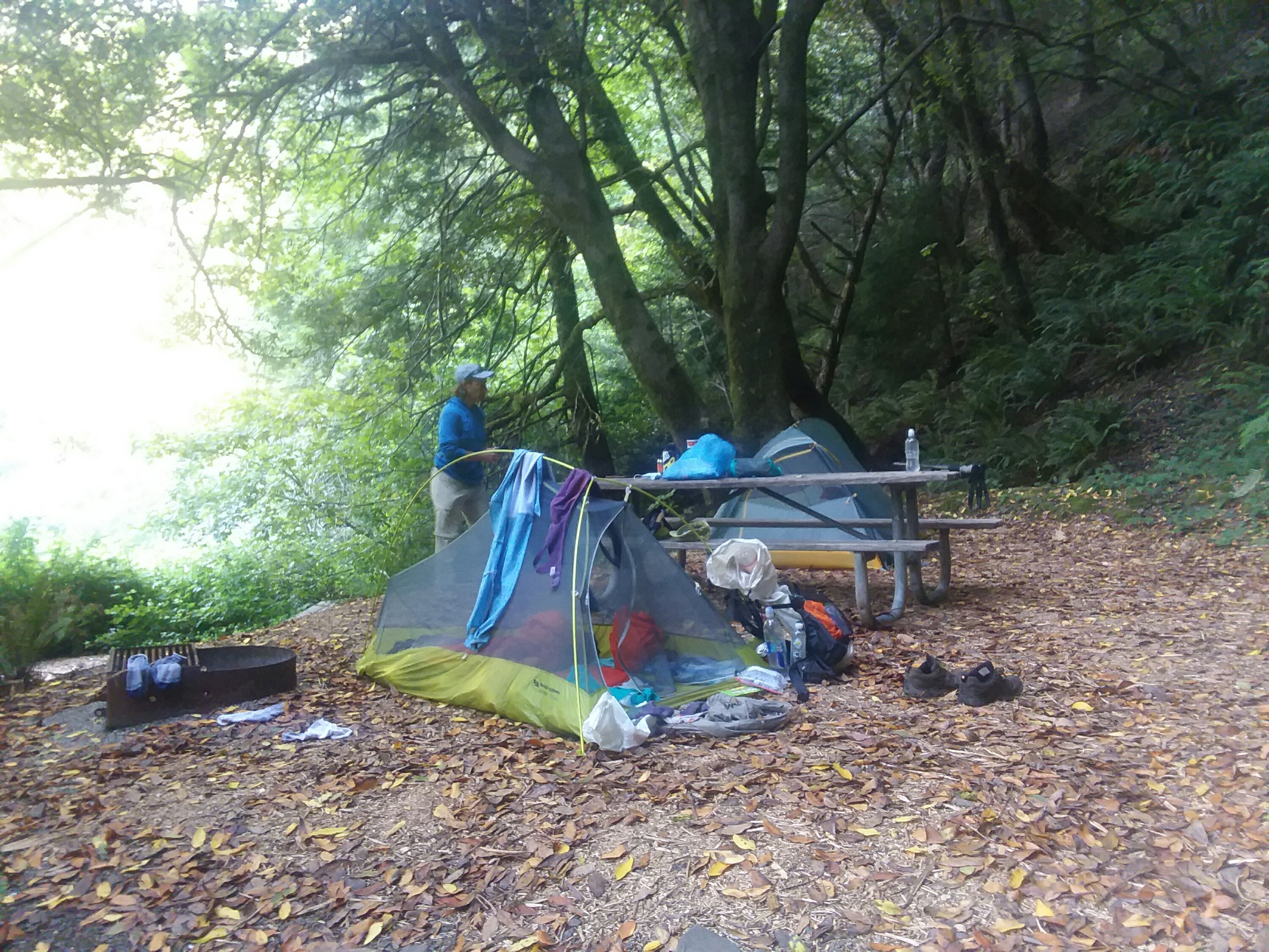
Hiker biker camps are the best idea ever – designated open spaces in campgrounds where there is always room for another, where no hiker will be turned away. They are meant to be used exclusively by those of us who are traveling long distances and who cannot reasonably make reservations months in advance. The cost for hiker biker camps ranged from $7 per person to about $10 per person. The cost includes access to whatever shower facilities the campground has, space for a tent, picnic tables, and often, but not always, a charging station and food storage locker.

We shared the site with a friendly biker and about 47 children from adjacent campsites whose parents felt like it was appropriate for their spawn to run all around our tents screaming.
It rained pretty much all evening and it was cold. I would not want to start any earlier in the season.
June 19, Day 2
16.2 miles
Seaside Hostel
The Cushiest 1st Full Day
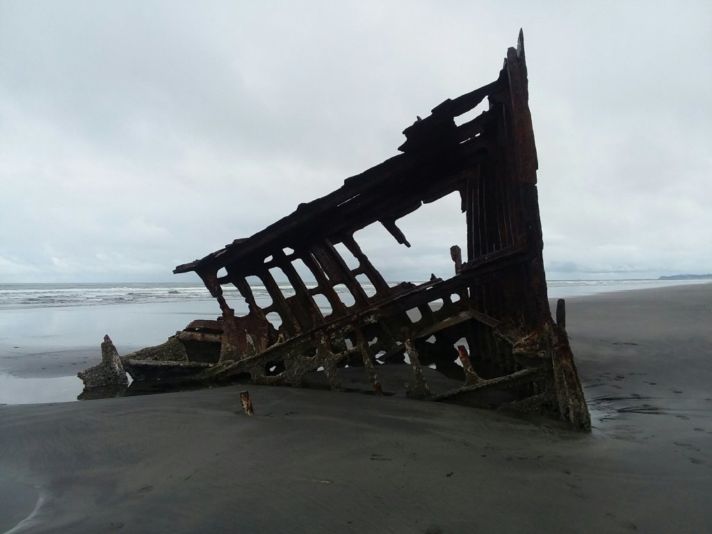
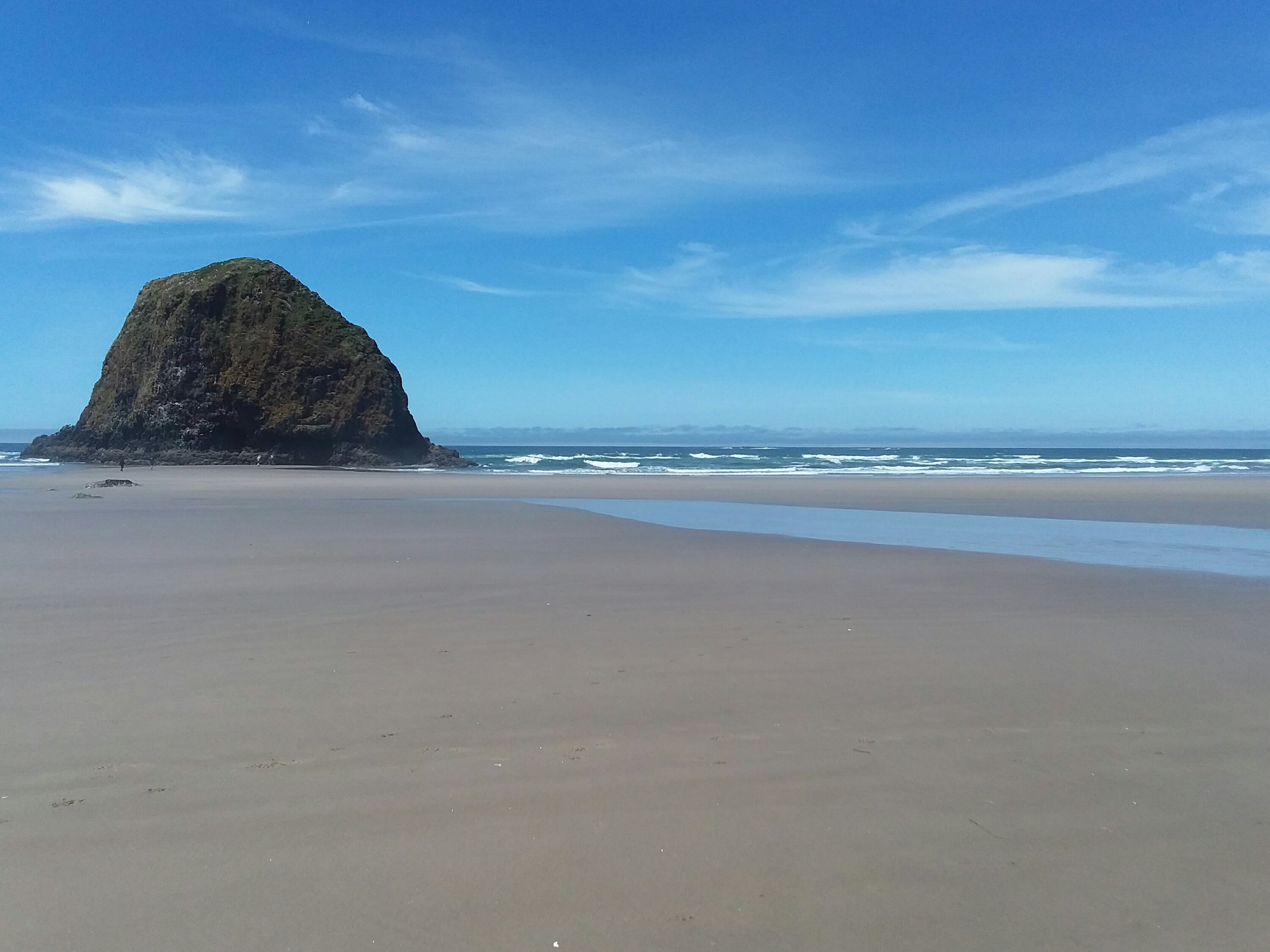
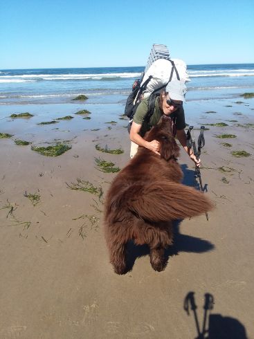
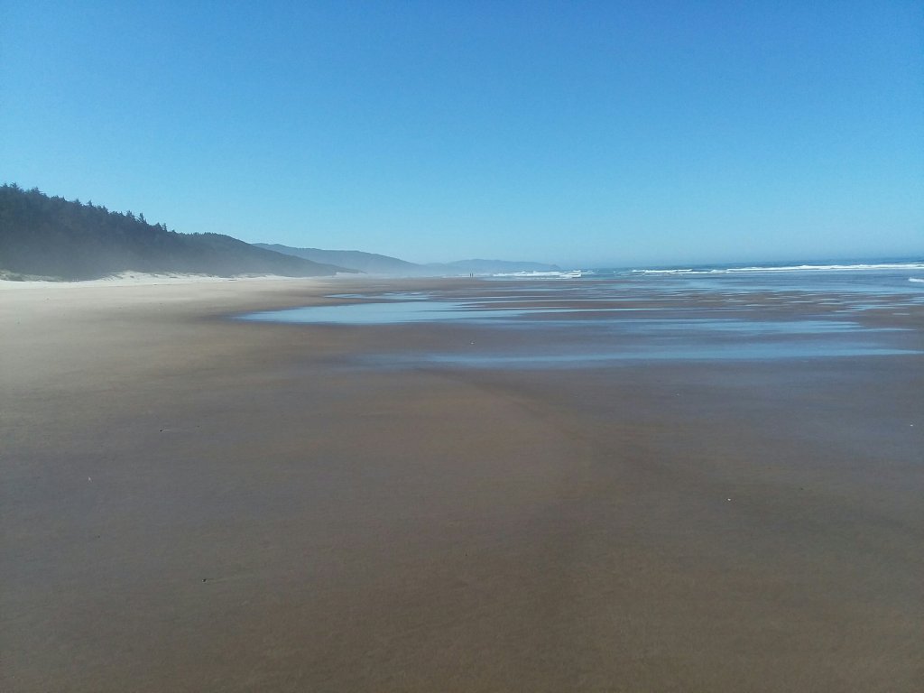
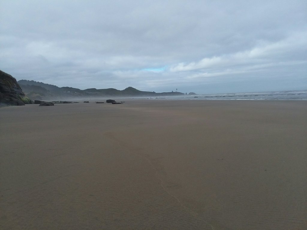
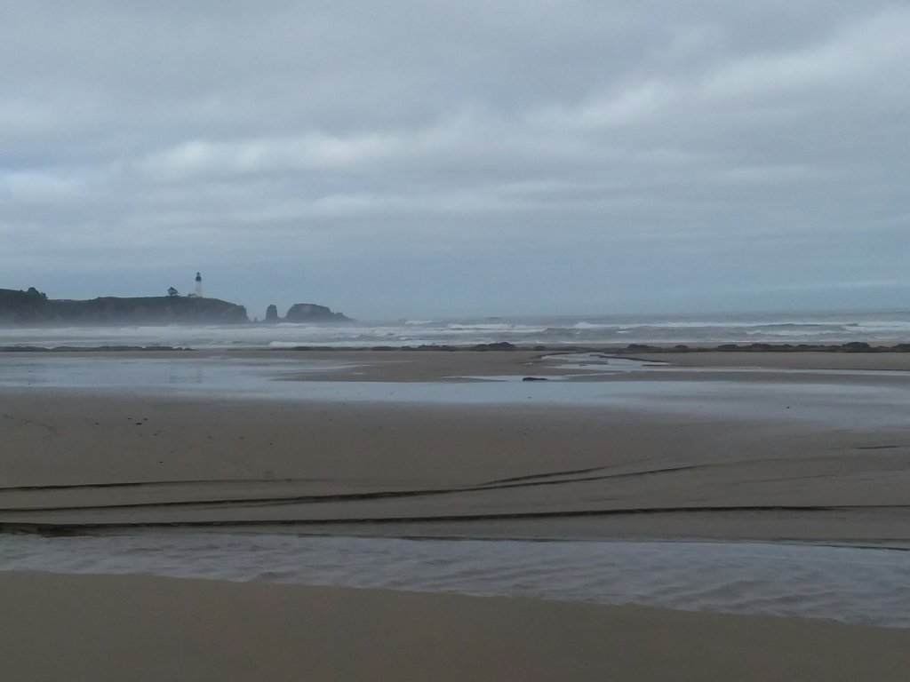
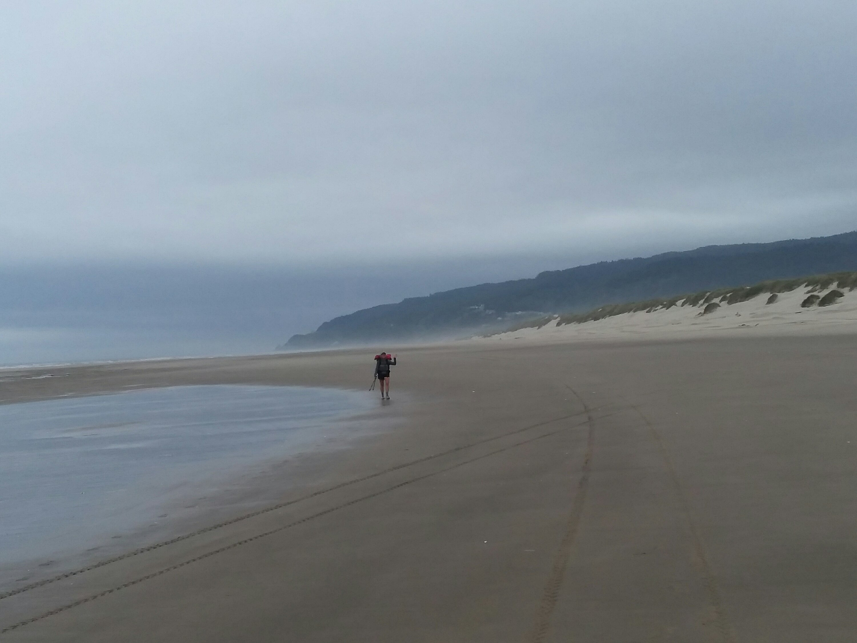
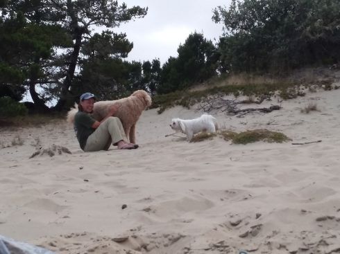
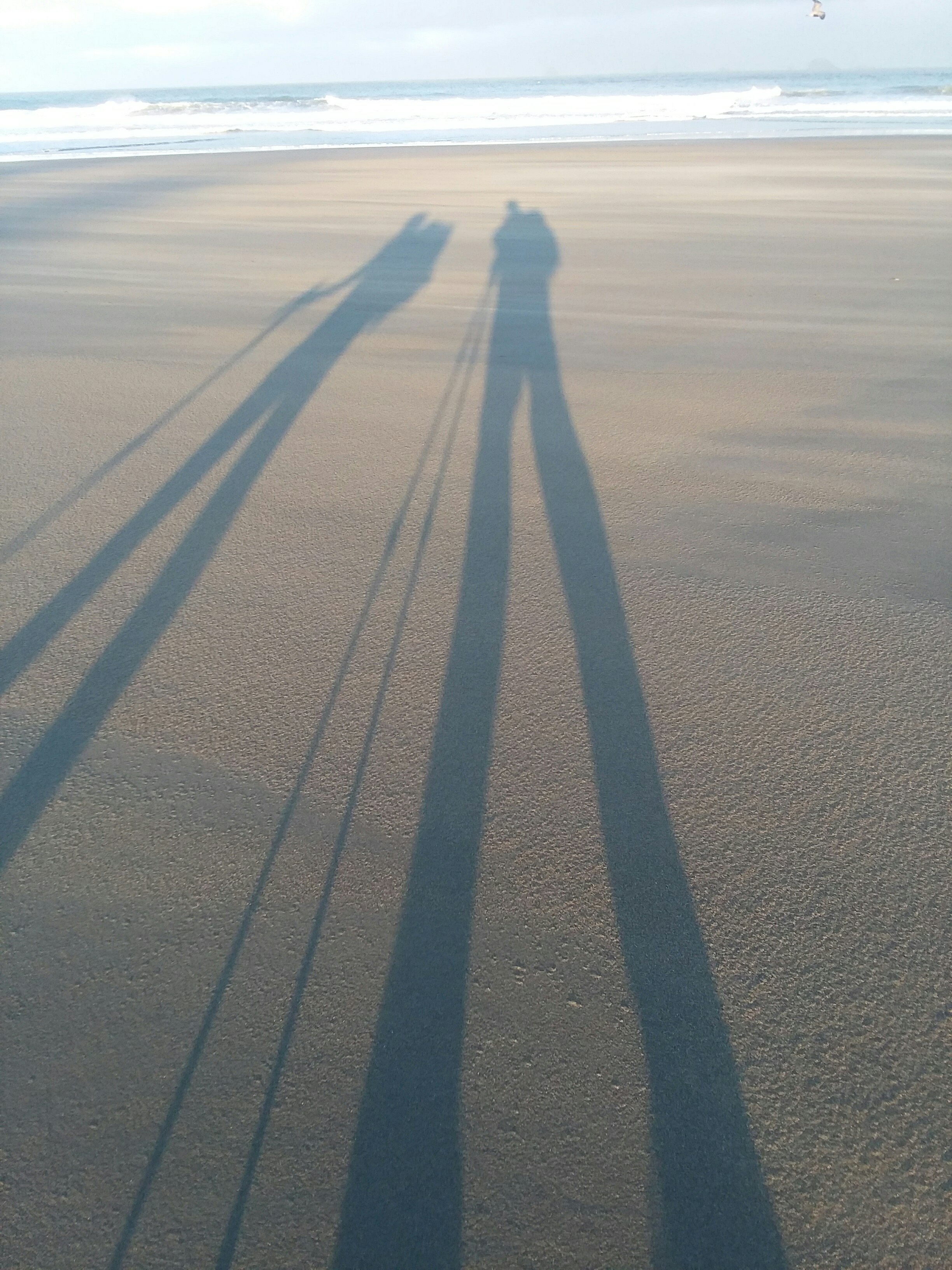
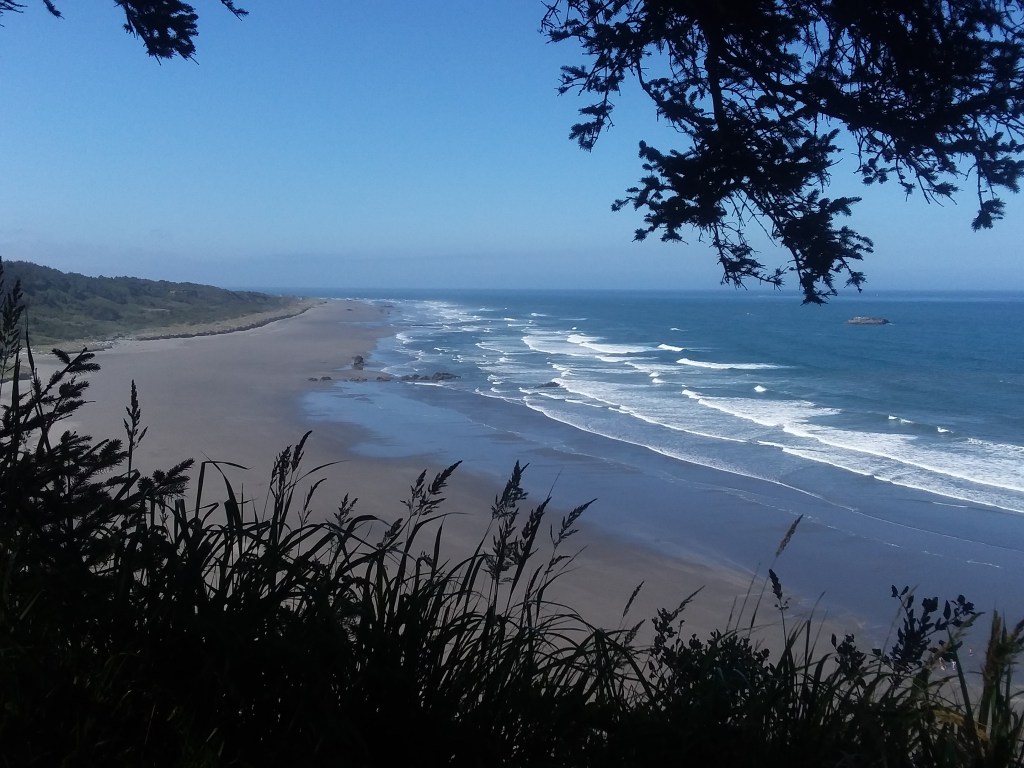
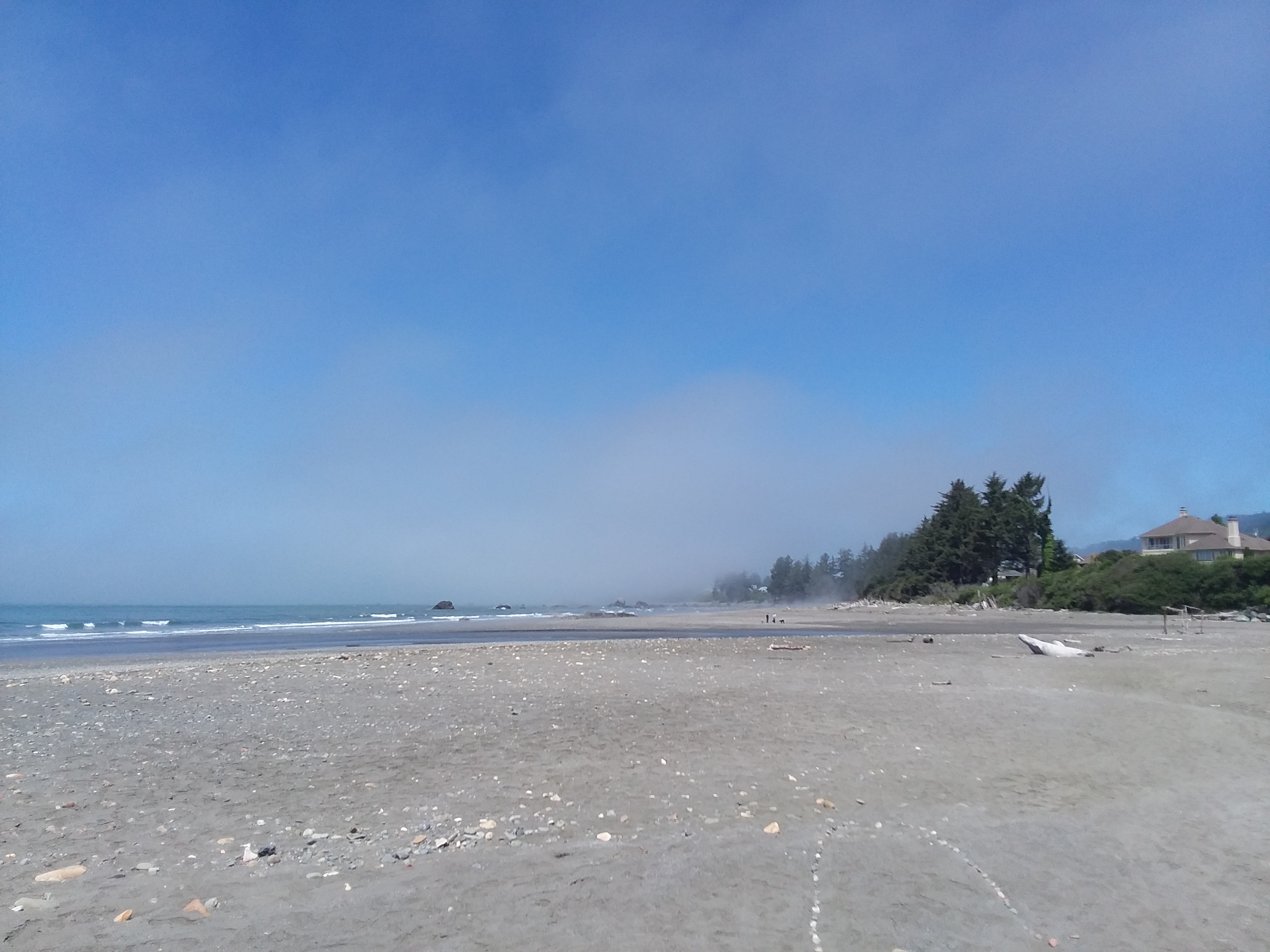
It rained all night. We awoke to even more rain and it persisted awhile, but it was not apocalyptic. The rain meant we got Peter Iredale to ourselves – a very popular, cool old shipwreck. It was a lot of beachwalking today with newfound joys and pains. Joys included more bald eagles, a seal, and a lot of dogs for Julie to meet. Pains included feet aching from the monotony of beach walking and trying to find a private place to pee while on a long exposed beach.
The weather cleared up as the day went on, and it was even sunny by the time we reached the town of Seaside. We checked in around 3PM, bought frozen pizzas to cook at the hostel, and did planning for the upcoming days.
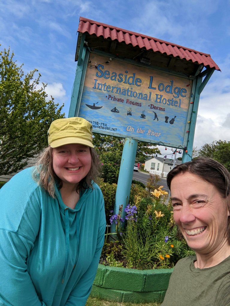
Though we had only been camping for a night, it already felt fancy to have a bunk. The Seaside Hostel was an important place for us to stop, because there were no nearby hiker biker camps (and legally and safely camping on the beach is more complicated than you might think).
June 20, Day 3
9.5 miles
Tillamook Head Shelters
The Best and Worst of People
What a day.
Out of nowhere, a woman at the hostel picked a fight with us – as in, she physically came at us, wanting to fight. It was completely unprovoked, and the only thing we could even guess is that she was offended by a rainbow sticker on one of our water bottles. We locked ourselves in a room away from her while she ranted in the lobby. We hid until she was gone. We wanted to touch base with the hostel owner to explain what had happened, but we were told by a worker that the woman in question had reacted poorly to other guests as well. The owner was driving the angry lady somewhere and we never got to chat with the owner about it. It really colored my feelings on Seaside in general and the hostel in particular. People who threaten and intimidate guests should not be part of the hostel community. More like the hostile community.
The altercation really left us feeling gross, so I was thrilled to be leaving town. We had only a couple of options for where we could legally stay the upcoming night, and we chose the shorter option of under ten miles, which allowed the whole day to breathe a bit more. We soon arrived at the gateway to Tillamook Head.

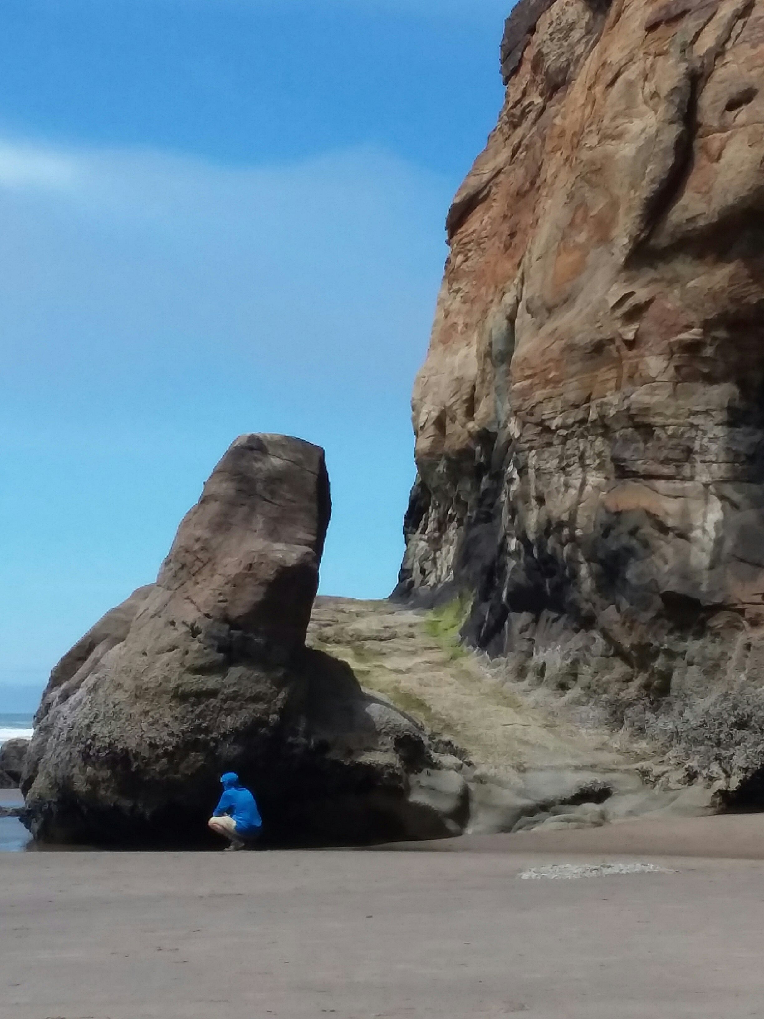
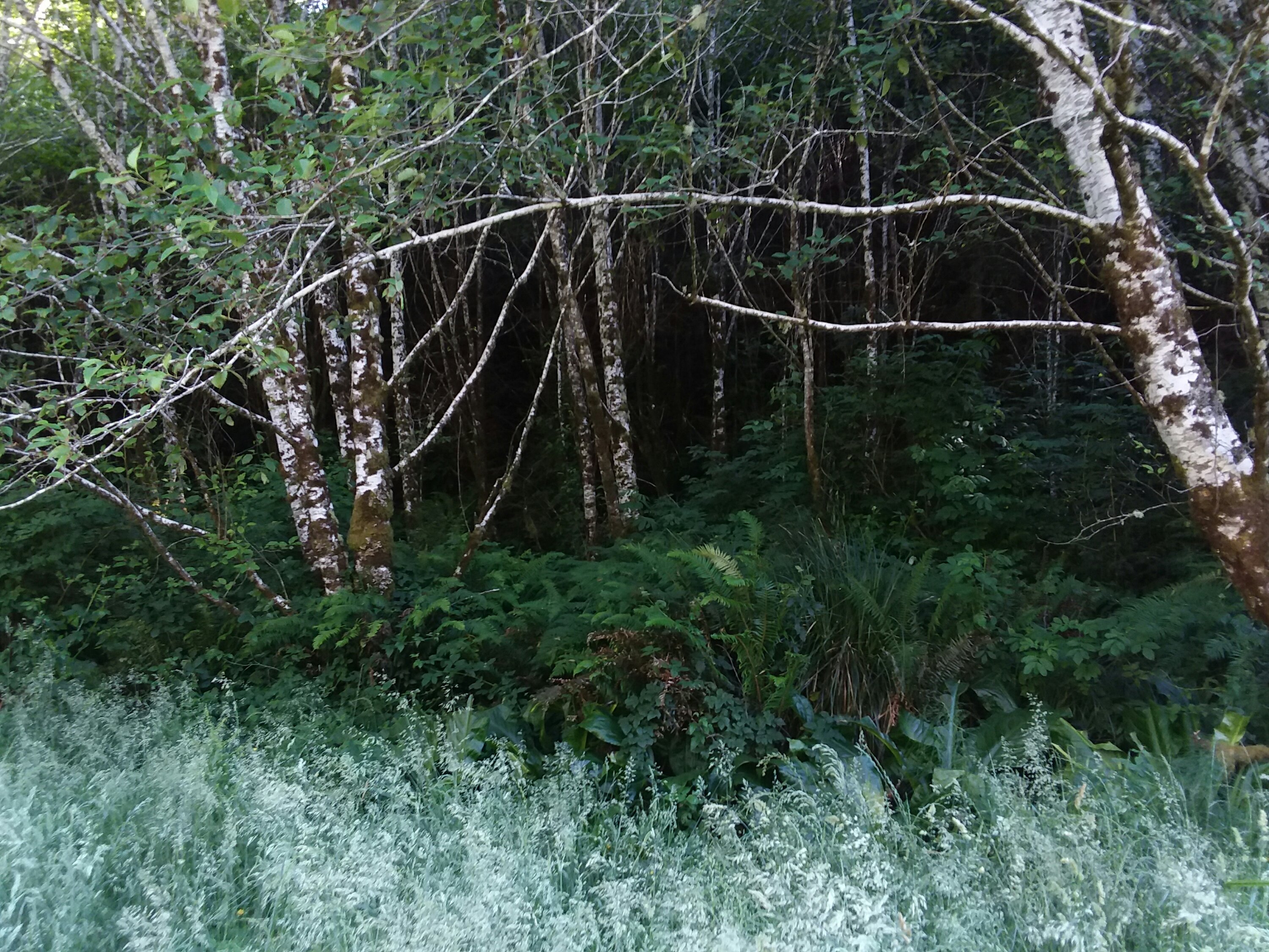
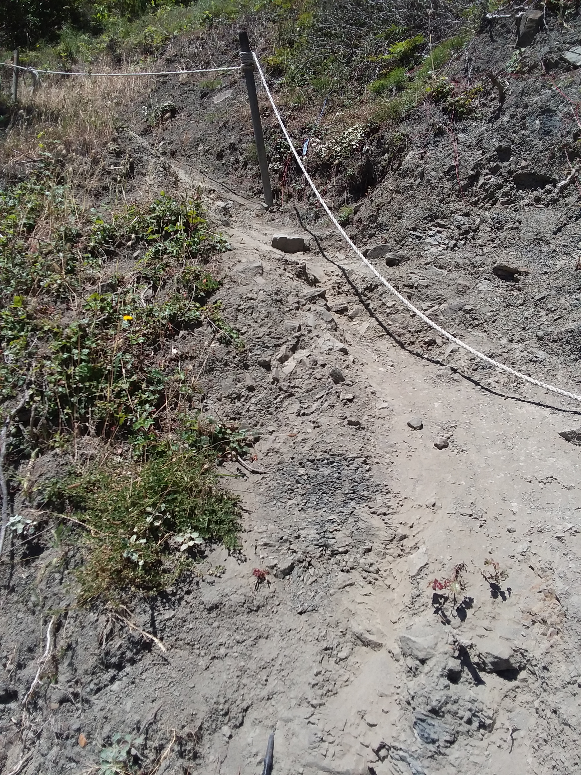
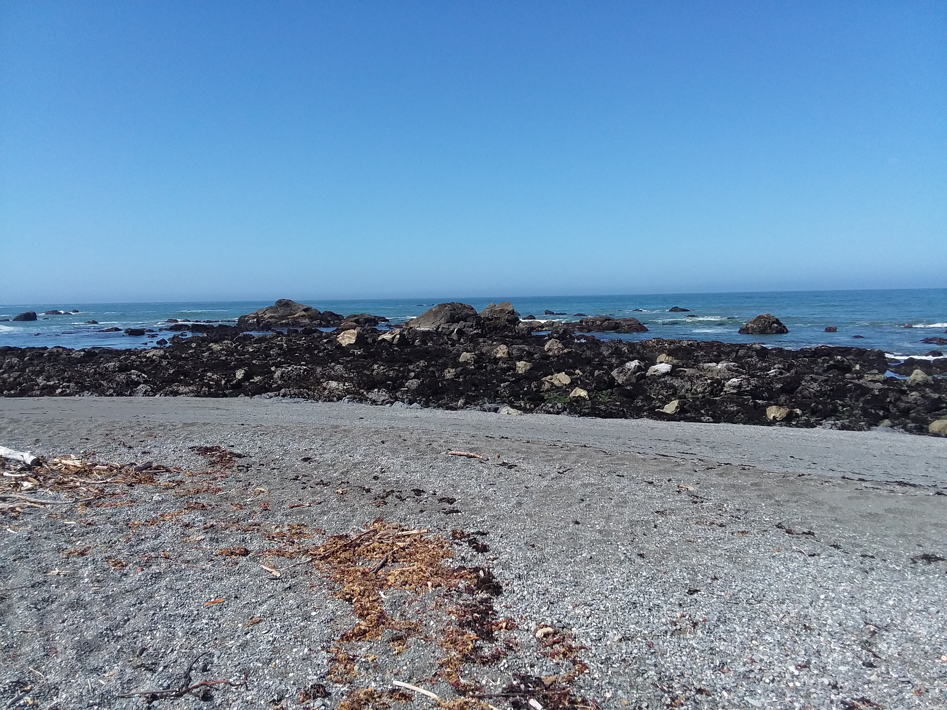
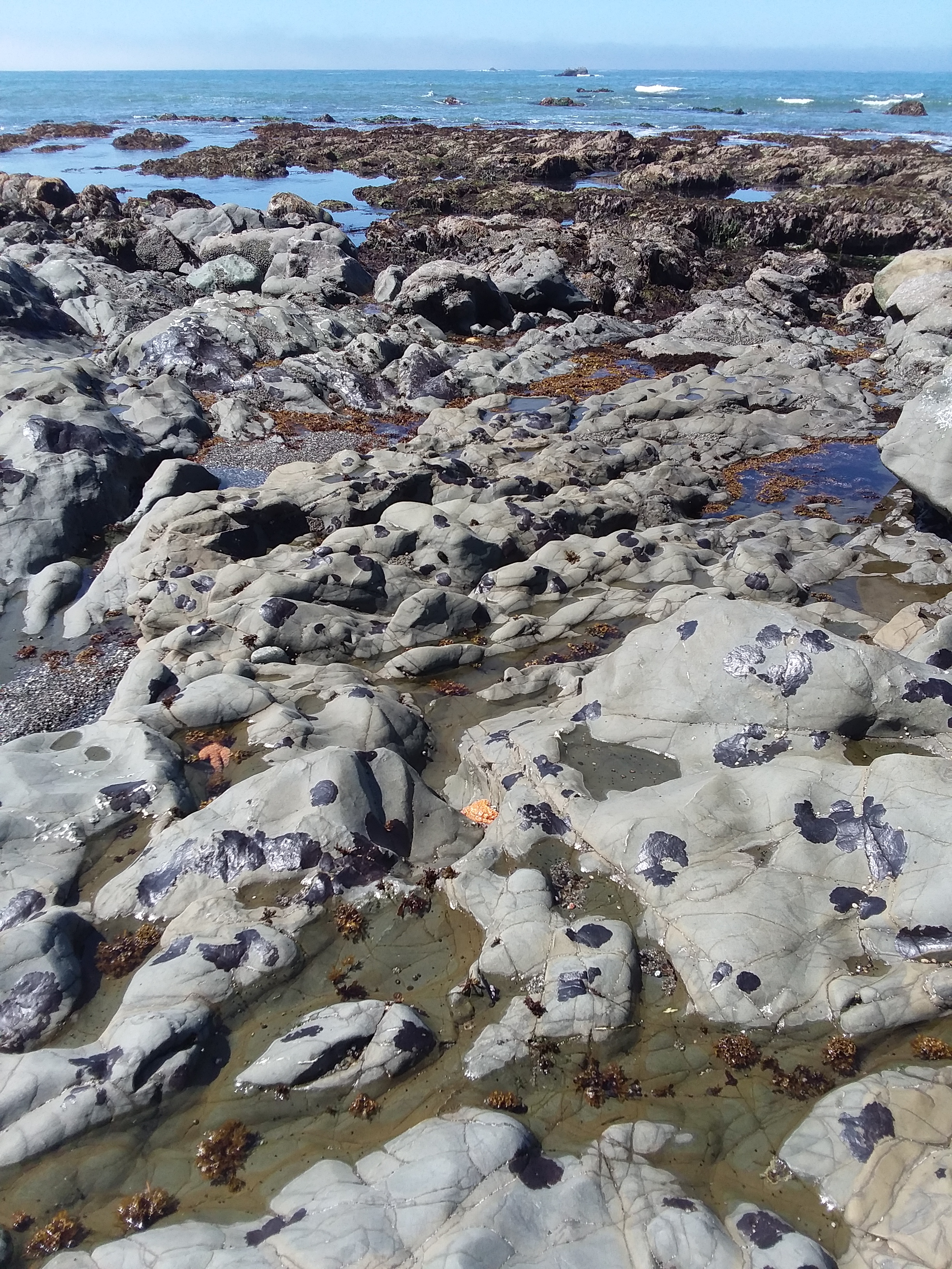
Here I learned that not all of the Oregon Coast Trail is flat or easy! Tillamook was first of several “heads” we would be ascending and descending. Tillamook Head sits 1200 feet above sea level but involved about 1600 feet of climbing to reach the top.
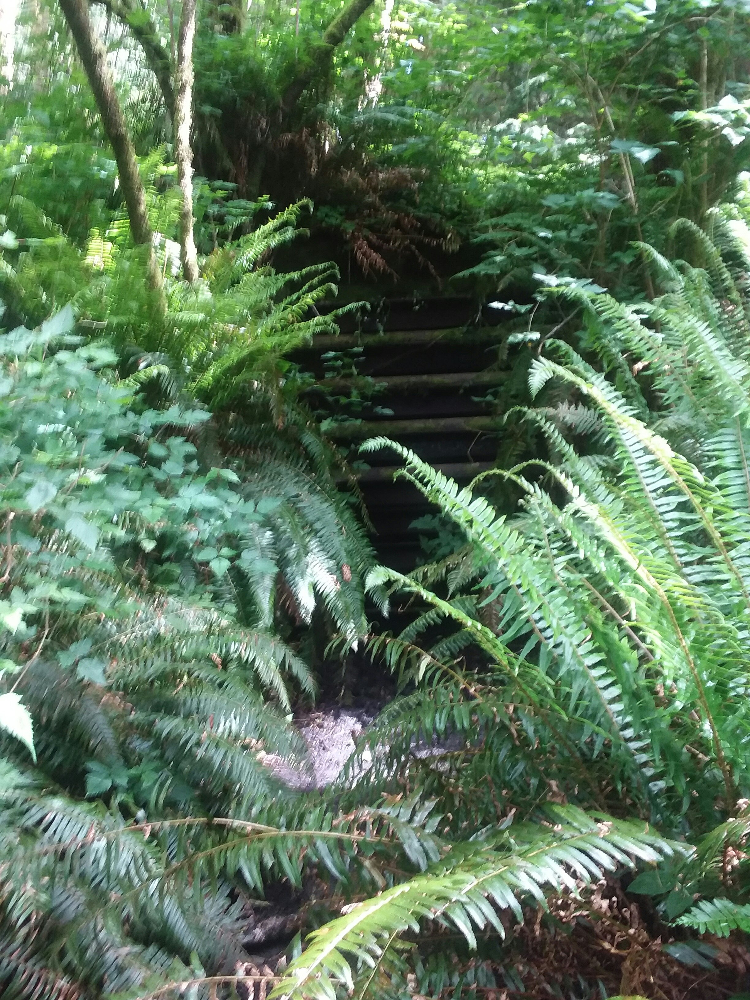
Gentle switchbacks slowly turned into epic mud. It was simultaneously glorious with spring flowers, draping moss, and an occasional overlook… and heartbreaking to be in mud pits which would take years or decades to rehabilitate. At least half the trail to the summit is located violently unsustainably. Boardwalks were once constructed but have rotted and are now causing more harm than good and creating potentially ankle-twisting situations. Giant trees made my jaw drop in awe, but so did the environmental damage being caused by the trail.
None of this is written to shame the land manager, Ecola State Park, which is surely underfunded and overwhelmed. Nor do I complain to shame the Oregon Coast Trail Foundation, which is merely piggybacking their trail onto existing trails in this area. But I think it’s crucial for future OCT hikers, or even visitors to the area, to know how much mud to expect. The answer: so much and a lot. Hopefully these organizations can partner to make it better for the land itself and those who visit.
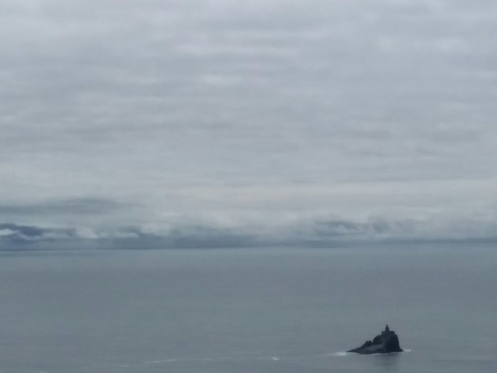
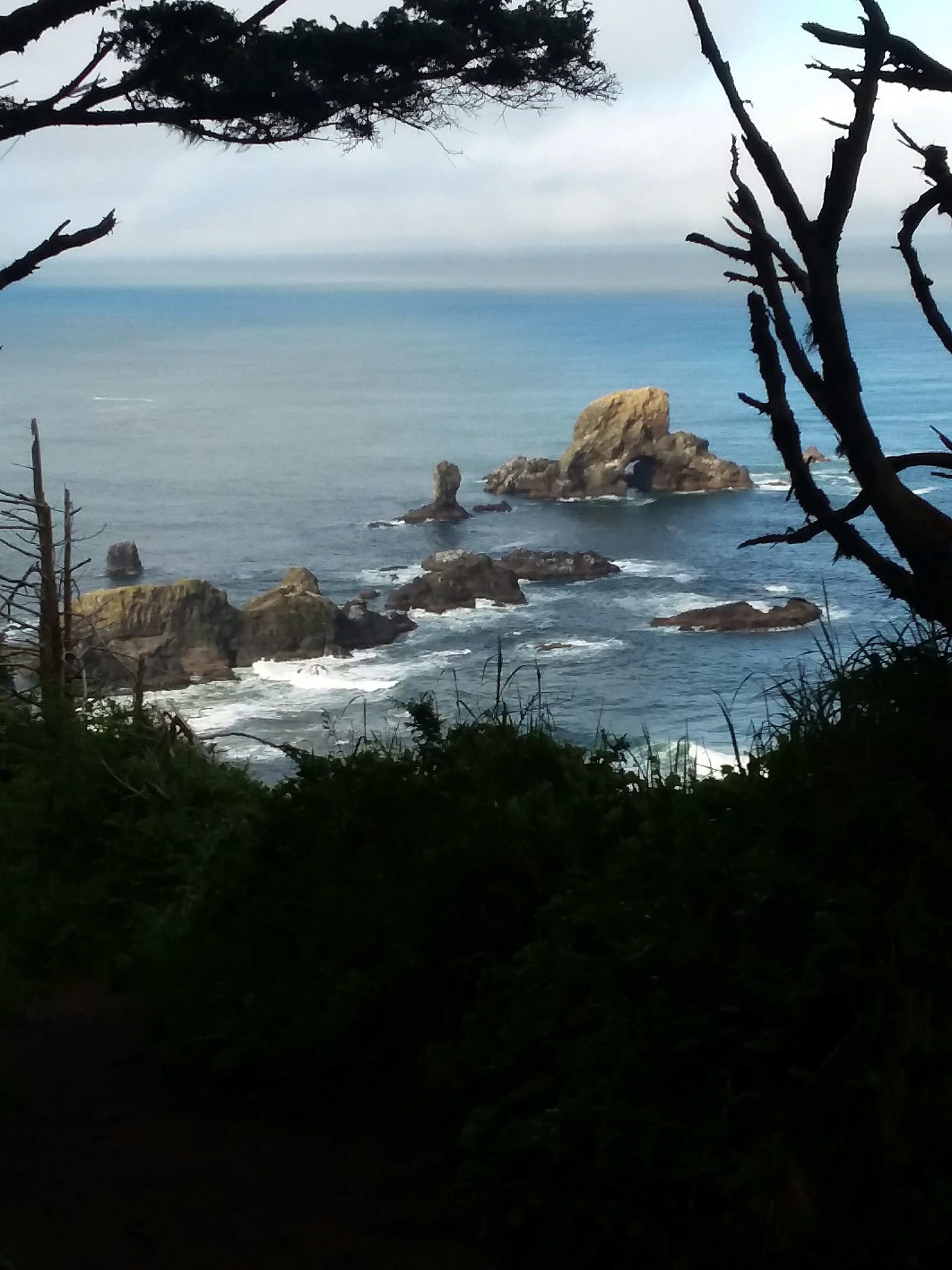
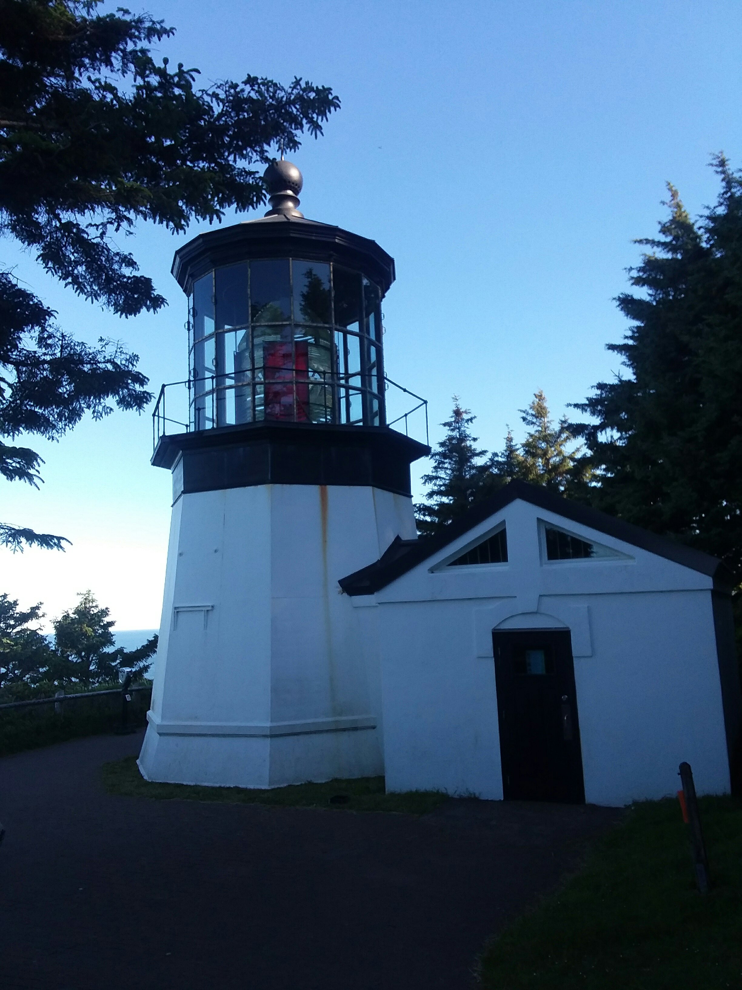
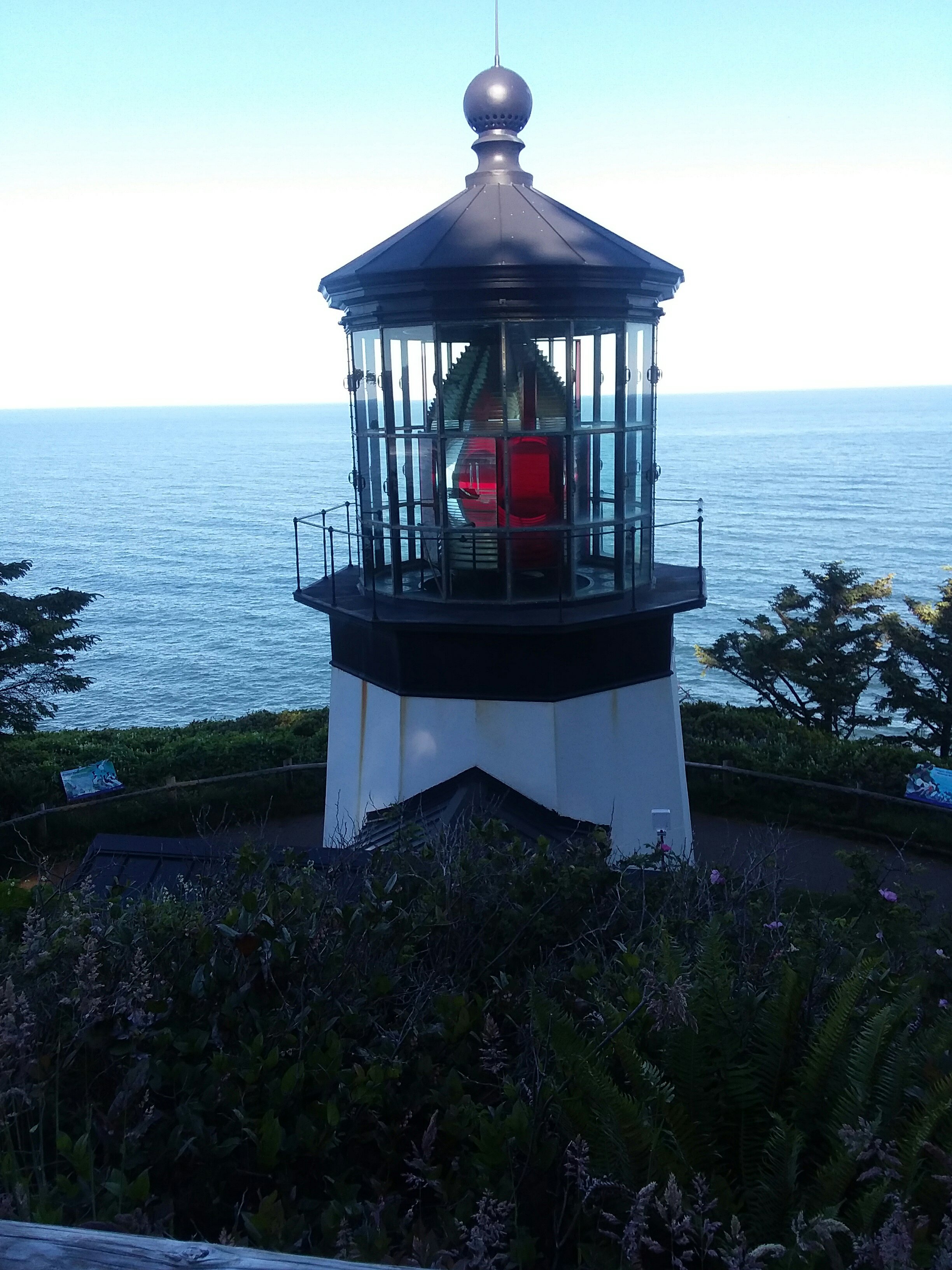
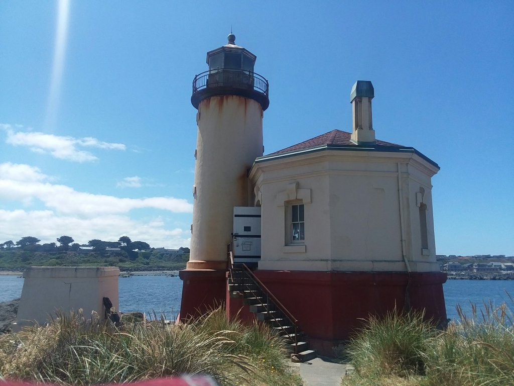
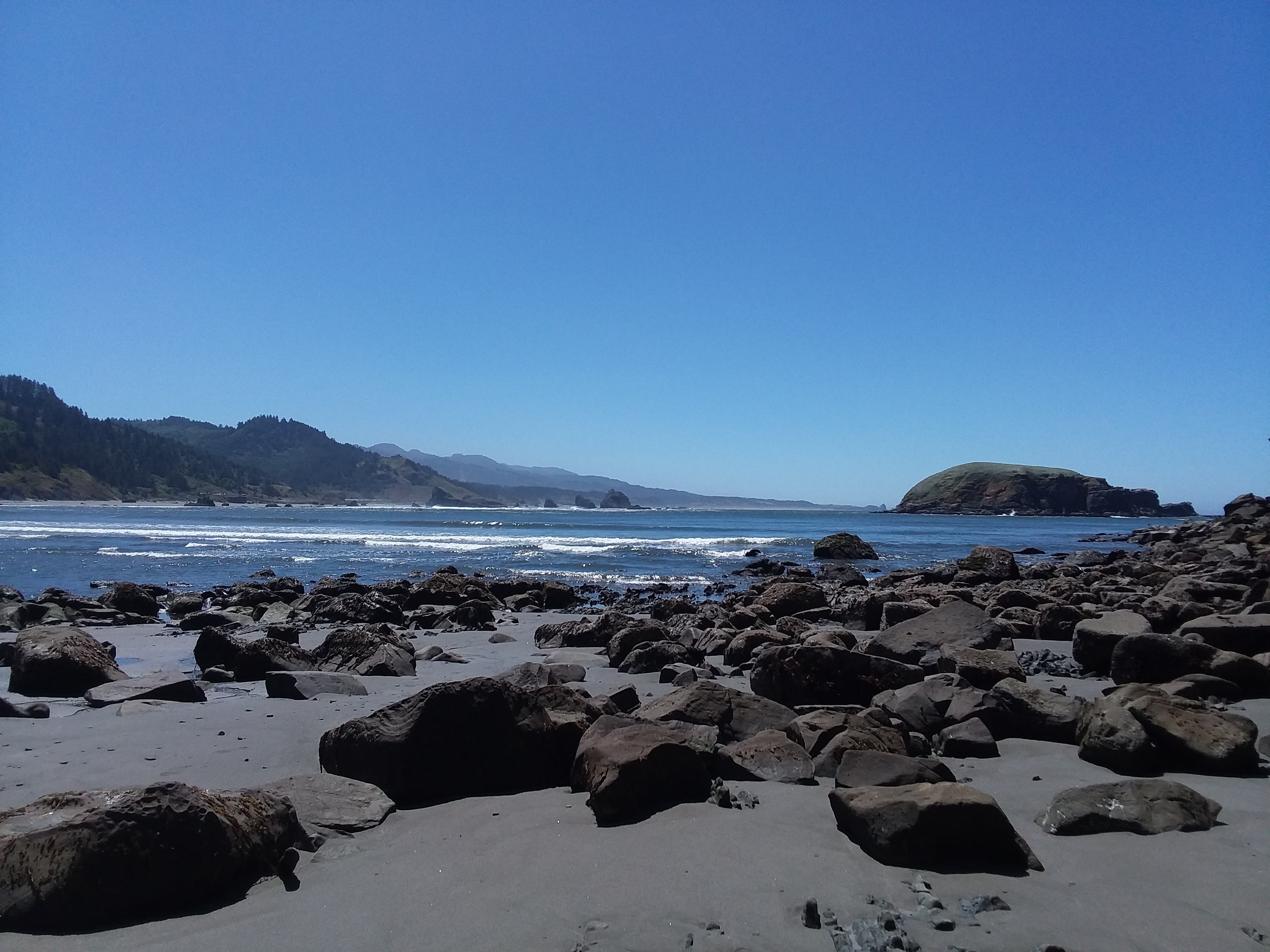
Despite the mud, it’s a popular hike for several reasons. The first is an incredible view of Tillamook Lighthouse, far below.
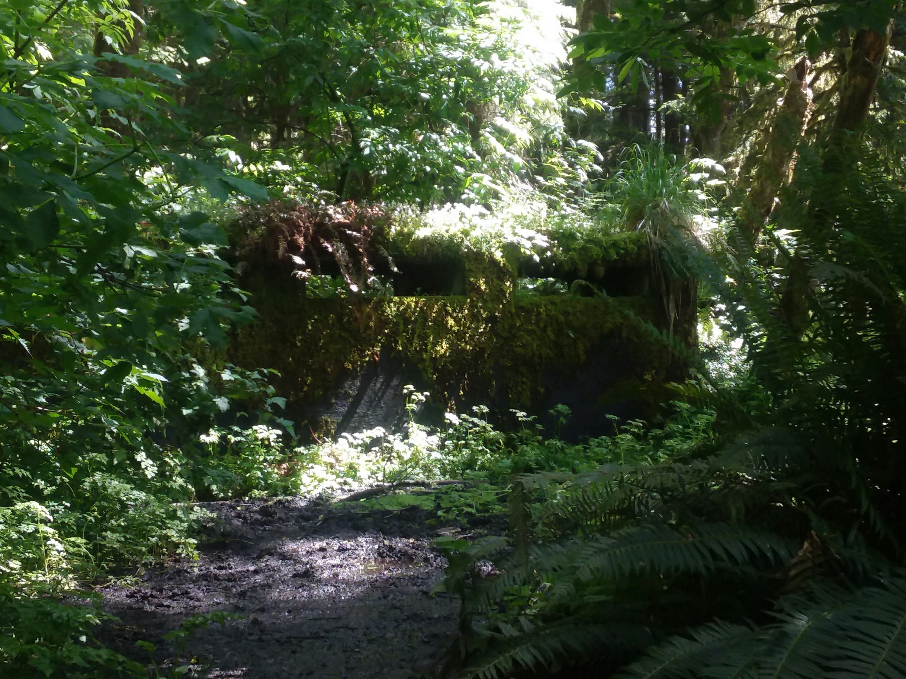
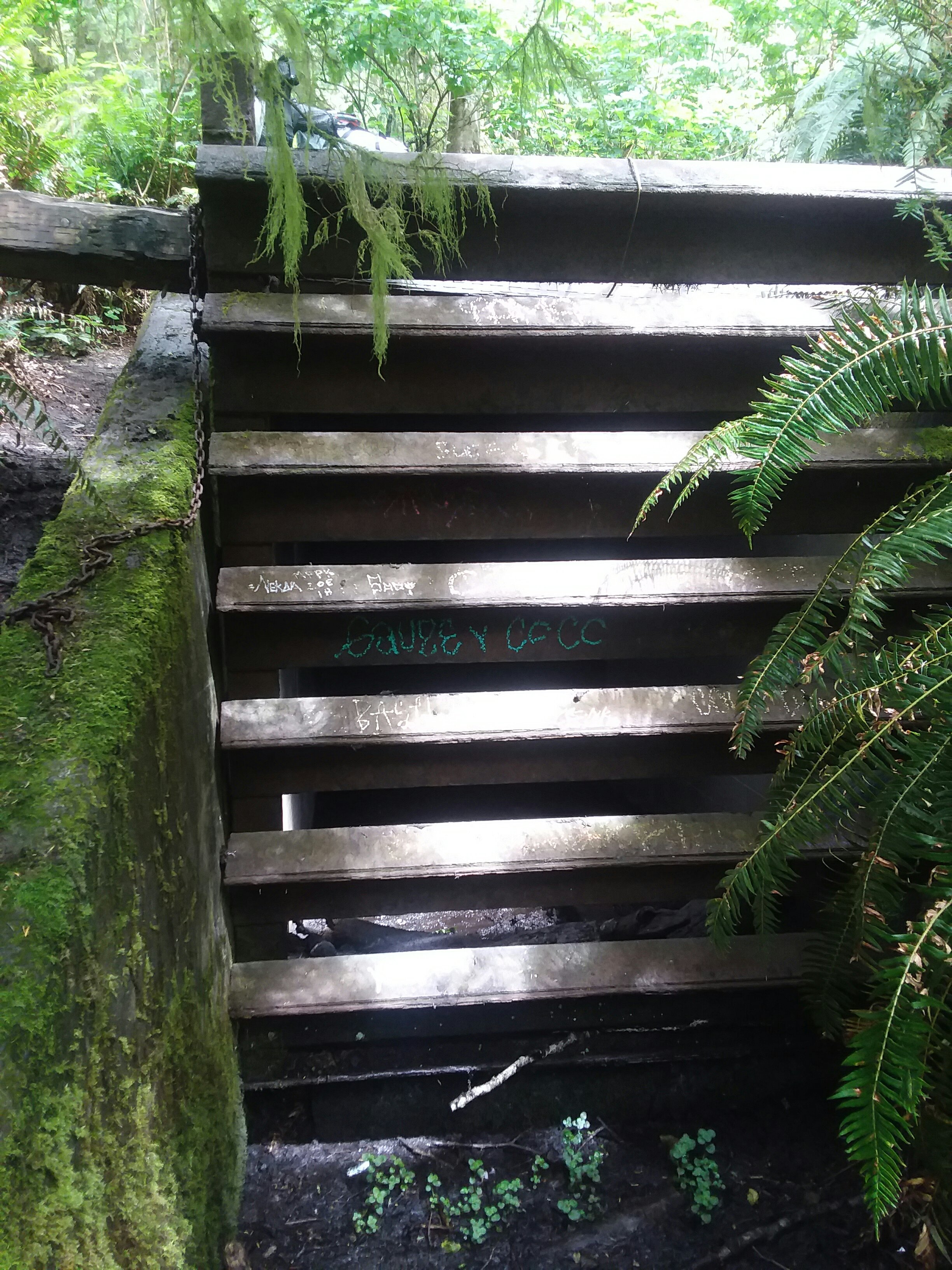
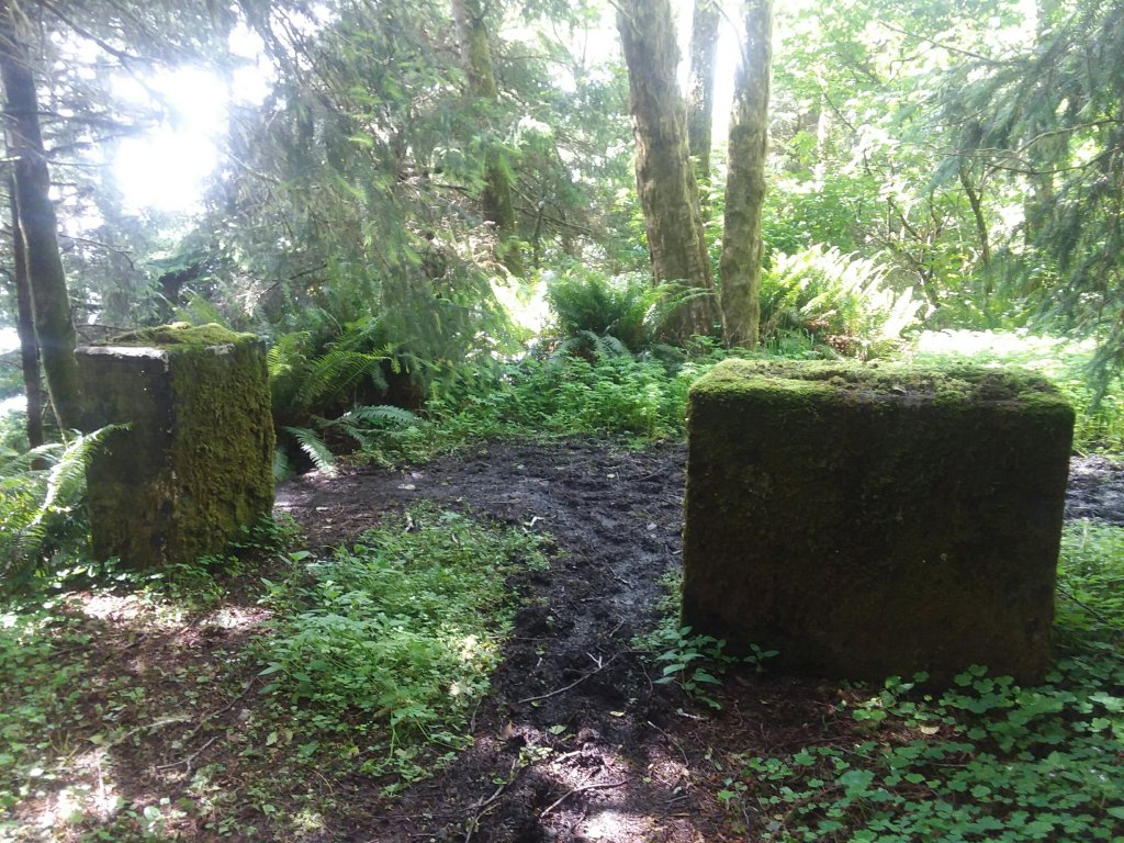
Secondly, there is an old World War II missile base hidden in the forest. Access to the inside spaces is blocked off for all but the most ambitious adventurers, but even the outsides are mysterious and enjoyable.
We had a great time exploring. I was so happy we chose to go just a short distance today, because it meant we had all the time we needed to soak up this cool spot.
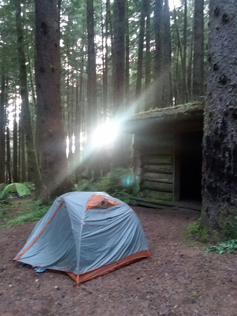
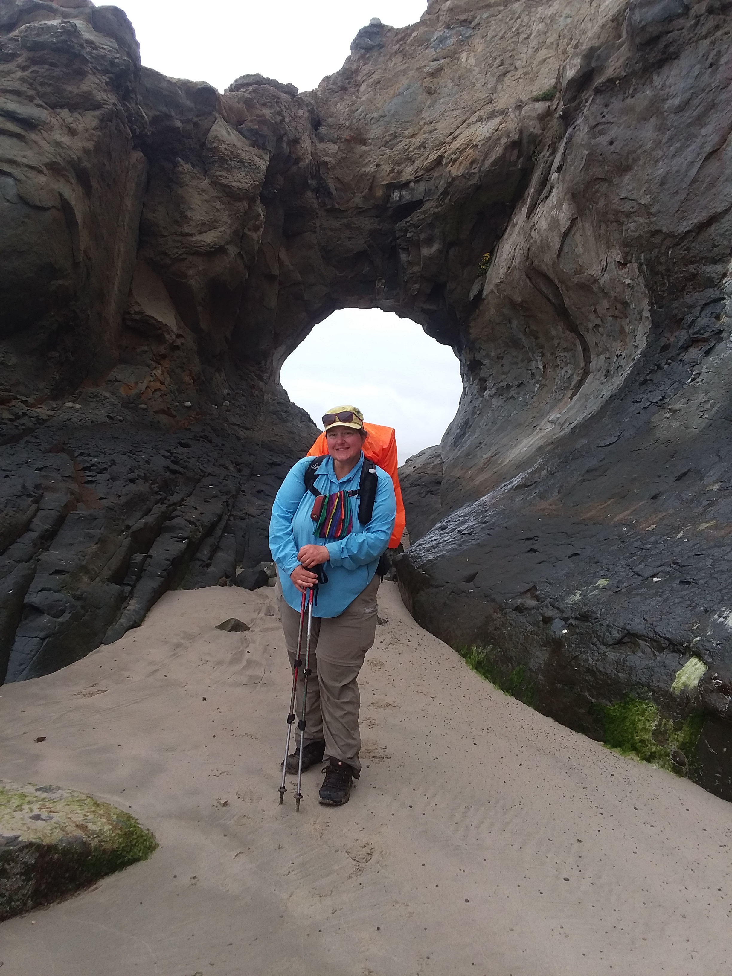
The third reason this area is popular is because of three small shelters, all of which are pretty rotten and in need of replacement or intense rehabilitation. There we met Casey, a northbound hiker, and Leslie, who was southbound. We all opted not to camp in the shelters as they are no longer waterproof and host rodents of unusual size. The existence of the shelters means that cool people congregate here to spend the night. We learned so much from Casey and got many tips for our upcoming miles. It felt like a night on the Appalachian Trail.
It was a day filled with pretty places and meeting interesting people. In the woods we definitely found those who were more “our people” than in town.
June 21, Day 4
17.4 miles
Undisclosed location
High Tides, High Climbs
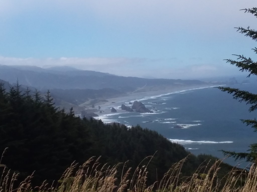
We enjoyed an early, beautiful descent into the heart of Ecola State Park, where many movies have been filmed. Here we again experienced shoe-sucking mud as we ascended Ecola Point. Despite the epic mud, there was significantly less elevation gain, so it was easier to get through. I still was alarmed by the environmental damage. Luckily, after a short roadwalk connector, we were out of the mud.

In Cannon Beach we resupplied, I got salad in a bag, and we took a short break on the sand. Cannon Beach is likely the most well-known beach in all of Oregon and it was busy, but not totally crazy.
From there we hiked quickly toward Hug Point. This spot needs to be crossed within an hour of low tide or it would not be passable. If it was not passable, we would need to backtrack around it or wait until tides lowered, which would be a long time. However, we timed it perfectly and took a deep breath. We took a nice break on the other side because we really deserved it. We had been hauling to get there.
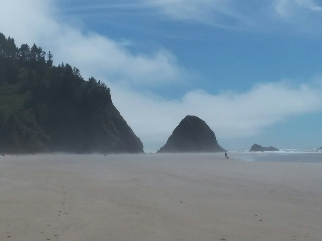
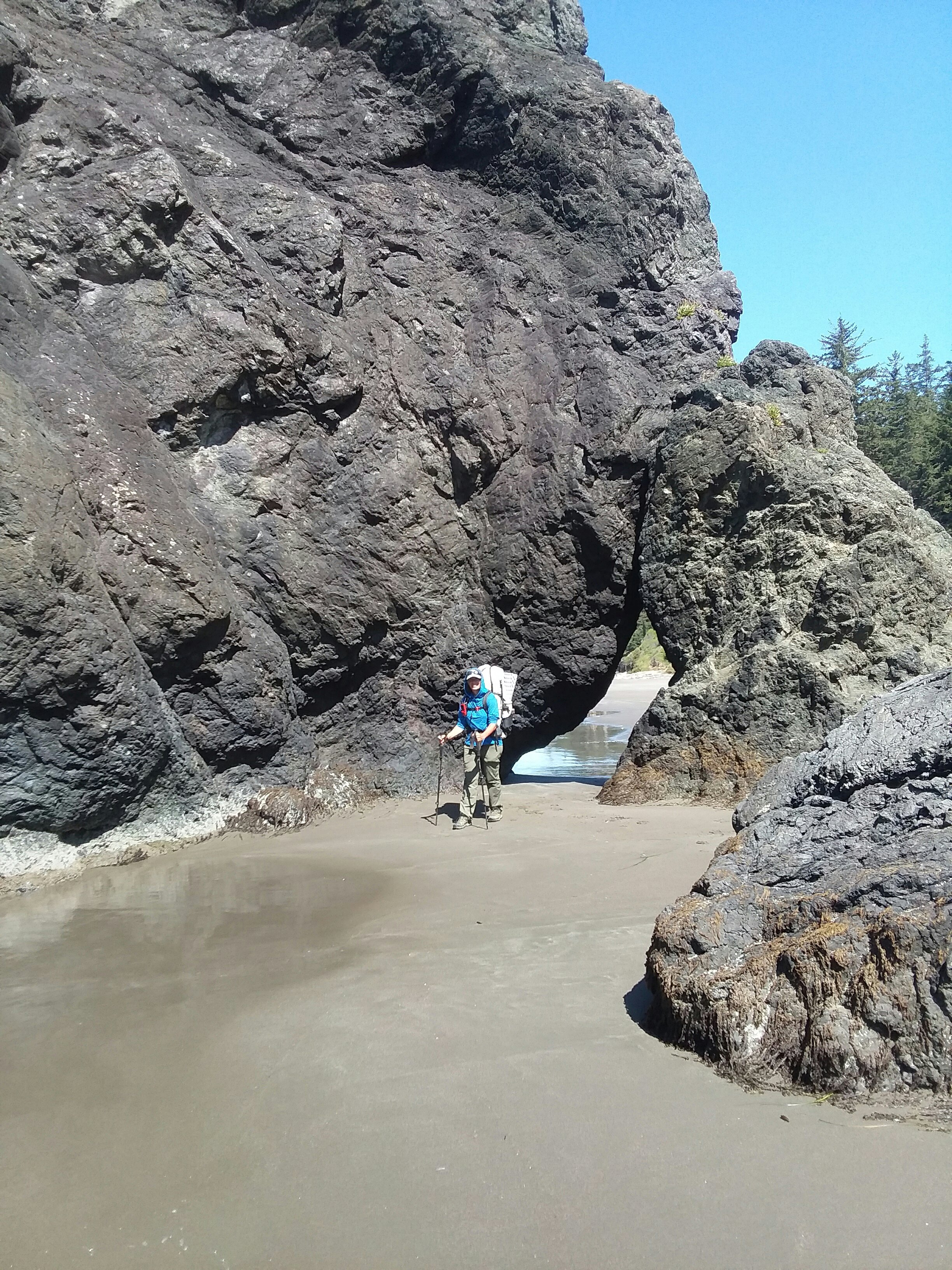
We left the beach near a distinctive rock at Arch Cape. From here we needed to ascend Cape Falcon. We originally missed the sign for an important turn, so Julie hacked down the weeds obscuring the sign. There are rarely signs on this trail, but in a few crucial places they exist. (In other crucial places, they don’t.)
At this point in the day, I was hot and tired, running low on water, energy, and sanity. Given a complete lack of legal camping in the area, making it through is really hard. We camped in a not-ideal location, but it was beautiful and felt like dinosaurs could be wandering through. We fortunately had a dinosaur-free night.
June 22, Day 5
14.2 miles
Nehalem Bay State Park Hiker Biker Camp
Mud Shwack, Baby
This was a much kinder day, but it started out rather brutally. Cape Falcon was very overgrown and rainy with typical headland mud. It was so overgrown that I had to part foliage with my hands and poles to see any of the trail. I shudder to think of how it would look a week or two later in the growing season.
The trail meanders quite a bit in this area and we took breaks to book future needs – a boat shuttle, a motel, and train, all needed in the next week. The breaks helped mentally as well as physically, and got us to sunshine. When the rain finally stopped I felt as if I and the forest each took a breath.
Soon we were descending, our day made easier by the closed Neahkahnie Mountain. This mountain is the high point of the OCT but has been closed since a 2020 storm. There’s a barrier draped across the trail so it’s very obvious that no one is supposed to ascend. We instead hugged Highway 101. It was a little sad to miss the high point of the OCT, but given the mud and slop we had hiked through already, I could not be too disappointed. We still got amazing views. It was in this area I really understood why people love Highway 101 — for driving.
We did a quick resupply in Manzanita and began a very windy hike into the hiker biker camp. We arrived around 3PM – not bad for how far we’d come. It was a really pretty hiker biker campsite.
June 23, Day 6
13.1 miles
Tillamook, Western Royal Inn
Afoot, a train, a bus
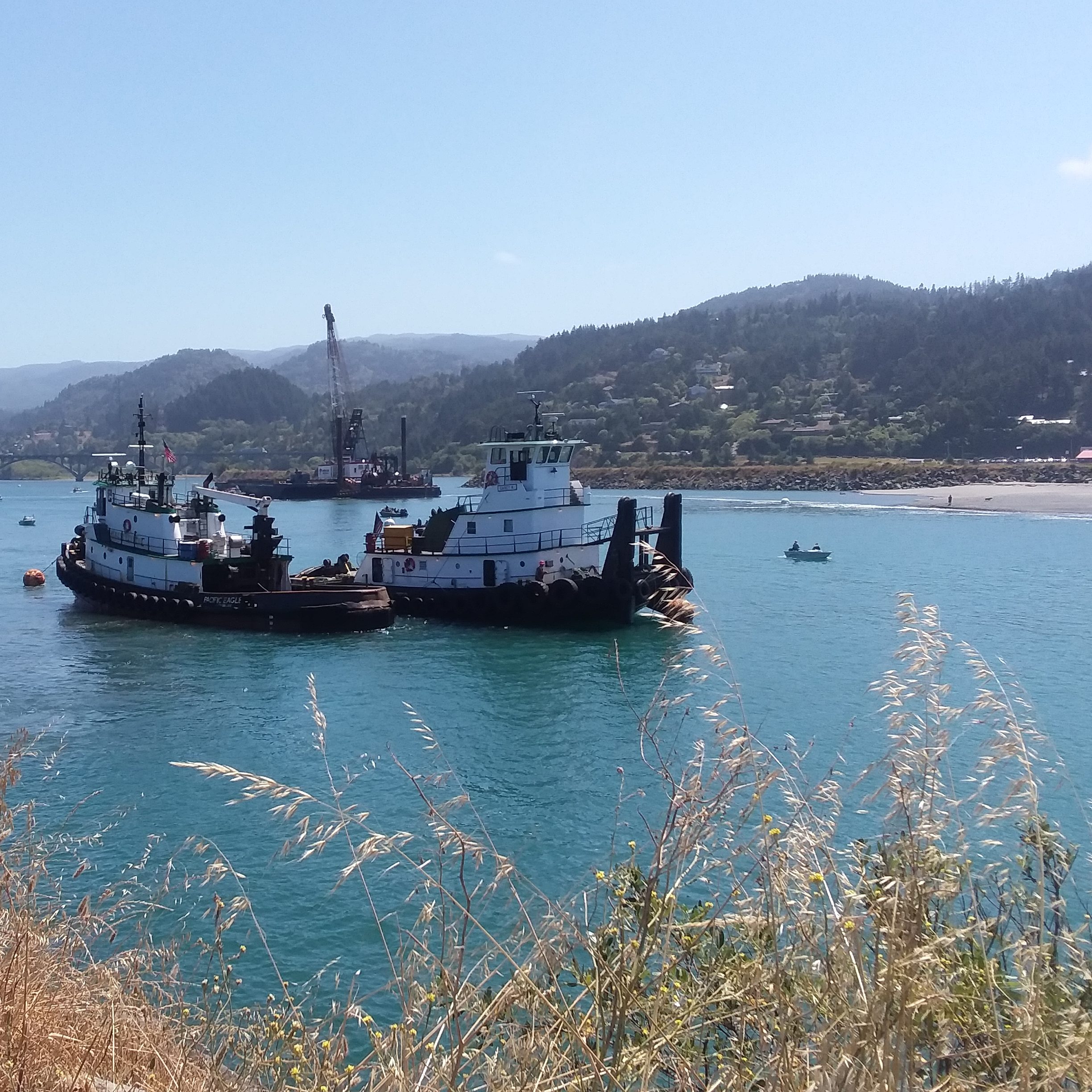
Today was one of the more unique days. The day started out perfectly with elk near the campsite and an easy, sandy walk to Nehalem Bay. There we took our very first boat shuttle. The folks at the jetty were incredibly helpful and we enjoyed a rest break with ice cream and a cat to keep us company.
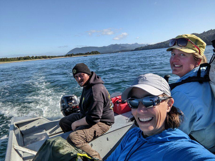
It was an interesting day because it not only required us to go by boat, but there was also an option written in the guidebook to take a scenic train in order to avoid a stretch of Highway 101. If the guidebook says to take a train, why not take a train? We were really excited for it. First we had to get there.

We walked some train tracks, long out of service, then got back on the sand until Rockaway Beach. There we had lunch and met up with two hikers who we met the night before at our campsite. It was fun to see Blade and Savannah again and I was sad that they were not taking the train with us.

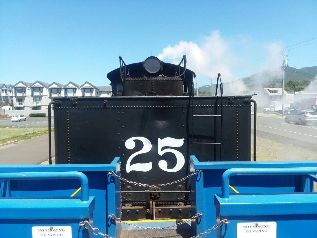
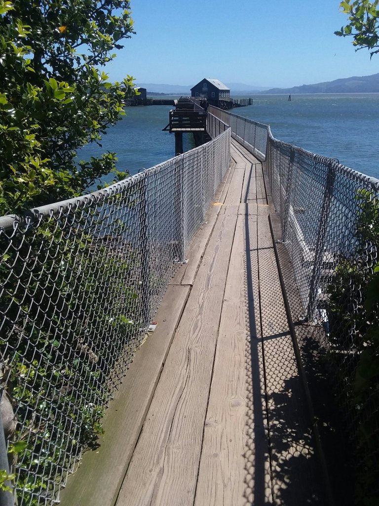
The train was a fun way to spend an afternoon and we enjoyed avoiding the highway. When we arrived in Garibaldi we had time to look at some older trains on display and to hike out onto a really long pier.
From Garibaldi, there were a couple of bad options. First, we could book a very expensive shuttle across the bay, available only in mornings, but there were limited options to stay in Garibaldi overnight and at this point we were ready for a shower. We took a bus into Tillamook where cheap-ish lodging could be had.
June 24, Day 7
0.0 miles
Tillamook, Western Royal Inn
Zero One
It was a very productive zero day.
June 25, Day 8
14.5 miles
Cape Lookout State Park
The Capes of Wrath

In the morning we took an Uber to return to the trail. We visited the Cape Meares Lighthouse and the Octopus Tree. Both were fun because they are places Elliott remembers, so I was able to share pictures with him. Because it was so early in the morning, there was hardly anyone around. We had evacuated Tillamook just in time: there was some party in town that day and a parade was going to shut down some roads and it sounded fun but chaotic. I preferred the calm of the ocean.
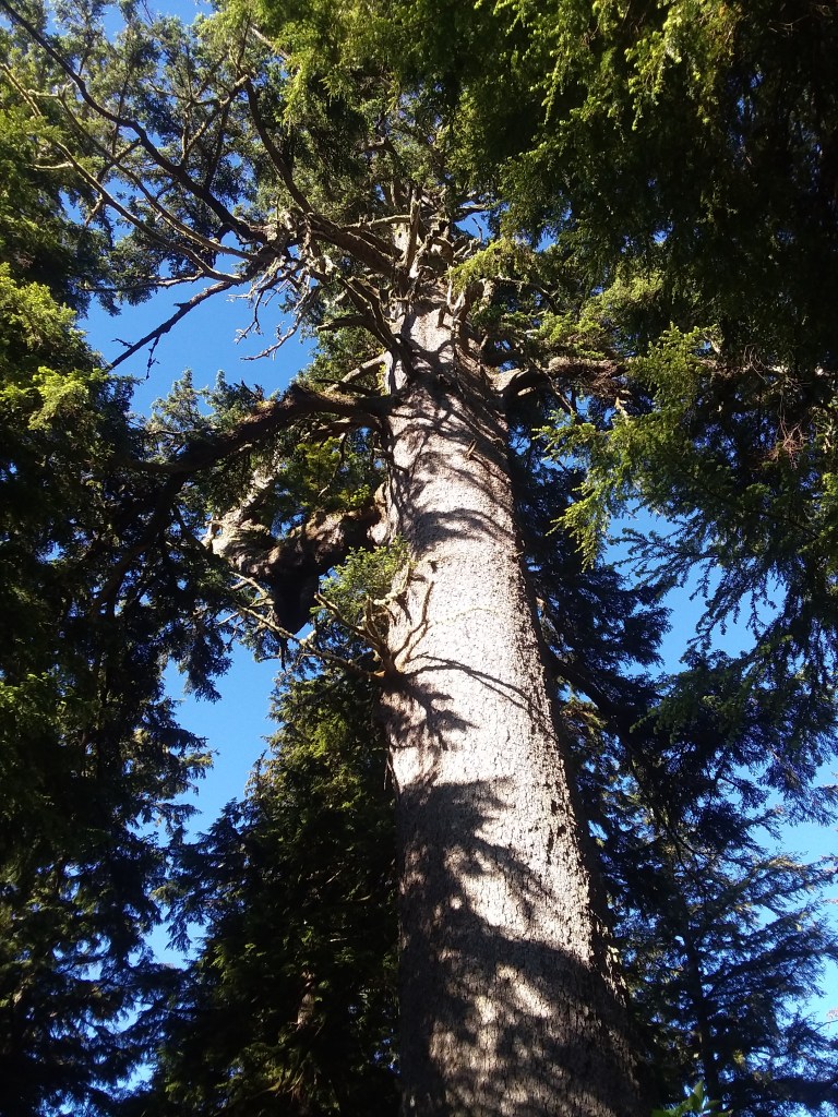
Because we had Ubered to the trail, we had time and mental space to take a side trail Oregon’s biggest Sitka spruce. It was magnificent and 700-800 years old! If we had been set on connecting every roadwalk by foot, we never would have made the time to go see it.
In this area, we were also walking along a federally-designated wilderness area! Much of Oregon’s shore is adjacent to protected waters, rocks, and lands. That made me incredibly happy. Julie met some gigantic dogs and that made her happy. A lovely beach hike took us to Netarts where we enjoyed a breakfast sandwich at a deli.
We then started a long, hot roadwalk. The guidebook states that there wasn’t much traffic on the road, but that could not have been less true. I sweated, and not just from the sun, until we got to Cape Lookout State Park.
To add insult to injury, once we got registered for the hiker biker camp, we discovered that the entire area was swarming with day-users despite ample signage reserving the area for campers. The garbage cans were overflowing, there was no way to use the chargers because of hordes of people, and the porta-potty was completely, disgustingly full. It was pretty disheartening, especially because this is one of the few campgrounds right on the beach and I’d been looking forward to this specific location for a long time.
We learned that due to a heatwave in Portland and points east, the entire population was descending upon the coast to cool off. We were somewhat insulated from the heatwave, but there was no protection from the people. The park, totally overwhelmed by climate refugees, was turning cars away at the entrance because there was nowhere to park and nowhere for people to go. They didn’t have the capacity to ensure that the hiker biker camp had room for hikers and bikers. Most hikers have a great experience here, because it’s likely the nicest hiker biker camp on the trail. We just hit it at a hellish time.
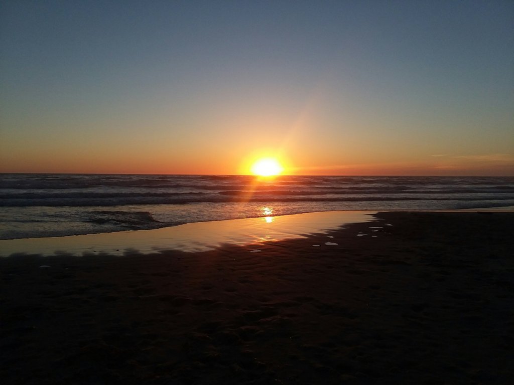
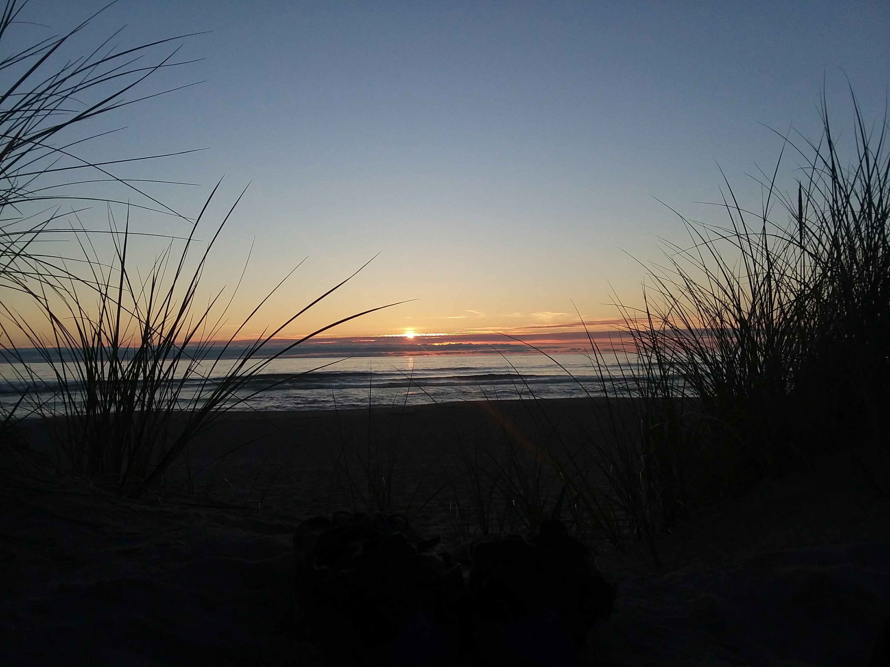
Nice sunset, at least.
June 26, Day 9
15 miles
Webb County Campground
2 Capes, An Angel, and Unlimited Bunnies
In the morning we had to summit Cape Lookout by road because the trail to the summit was wiped out by landslides. I was hell-bent on hitching a ride to the top, but not a single car passed us. Good thing we weren’t sitting at the bottom waiting on a hitch. Instead we climbed about a thousand feet through the headland. We luckily had a trail to descend from the top, and the trail was in very good shape. The views of the cape were amazing once we got back to a beach.
I loved hiking past Camp Merriweather, where Elliott once spent time. The beach was quiet and gorgeous. (Until we reached where the OHVs were allowed. Then it was loud.)
As afternoon approached, we had a tough decision. We had to either ford the Sand Lake outlet or walk over six miles on roads around it. We had heard mixed reports on fording, but we were not hitting it at low tide and we did not feel safe taking the chance.
We began the roadwalk, and it was so hot, with very little shoulder and quite a lot of traffic – big rigs and wide vehicles. I for a moment wondered if I was dead and stuck in hell.
A mirage turned into an oasis as a small store flickered into existence. There we met Taylor, who so kindly offered us a ride to get back to the trail south of the Sand Lake outlet. A true trail angel. She lifted our spirits and helped our feet.
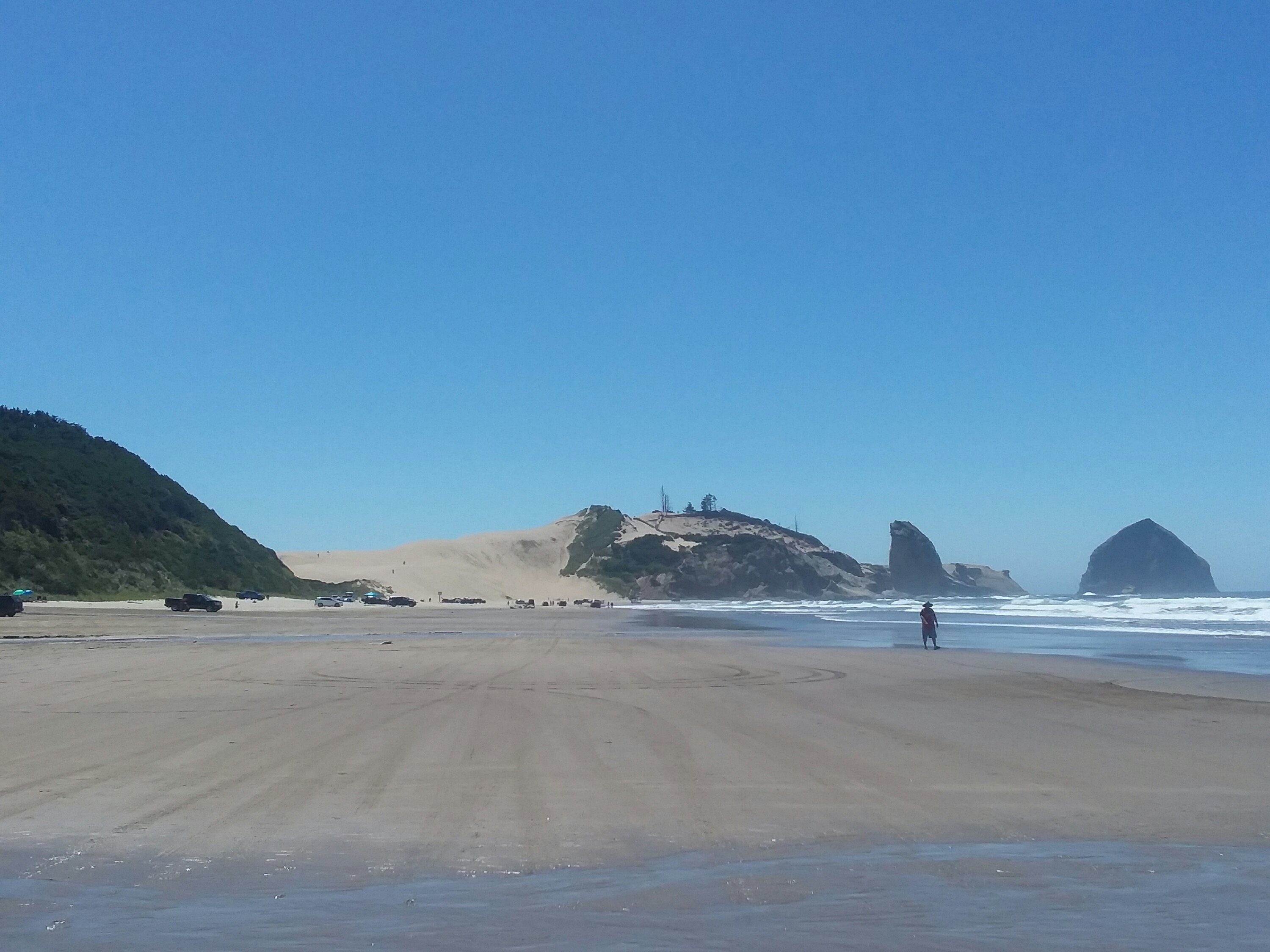
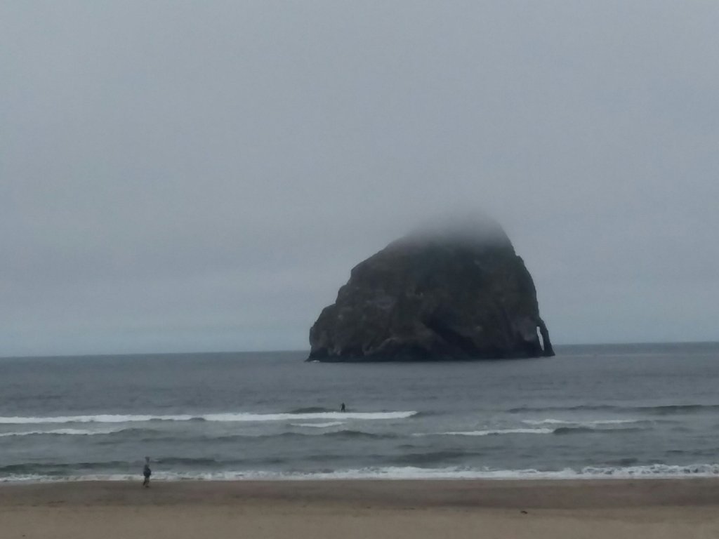
On the beach again we could see Cape Kiwanda in the distance – giant mound of sand. It was so hard climbing up the sand but it was also really fun. If I had to do it everyday, it wouldn’t be fun, but it was so unique that I really loved it.
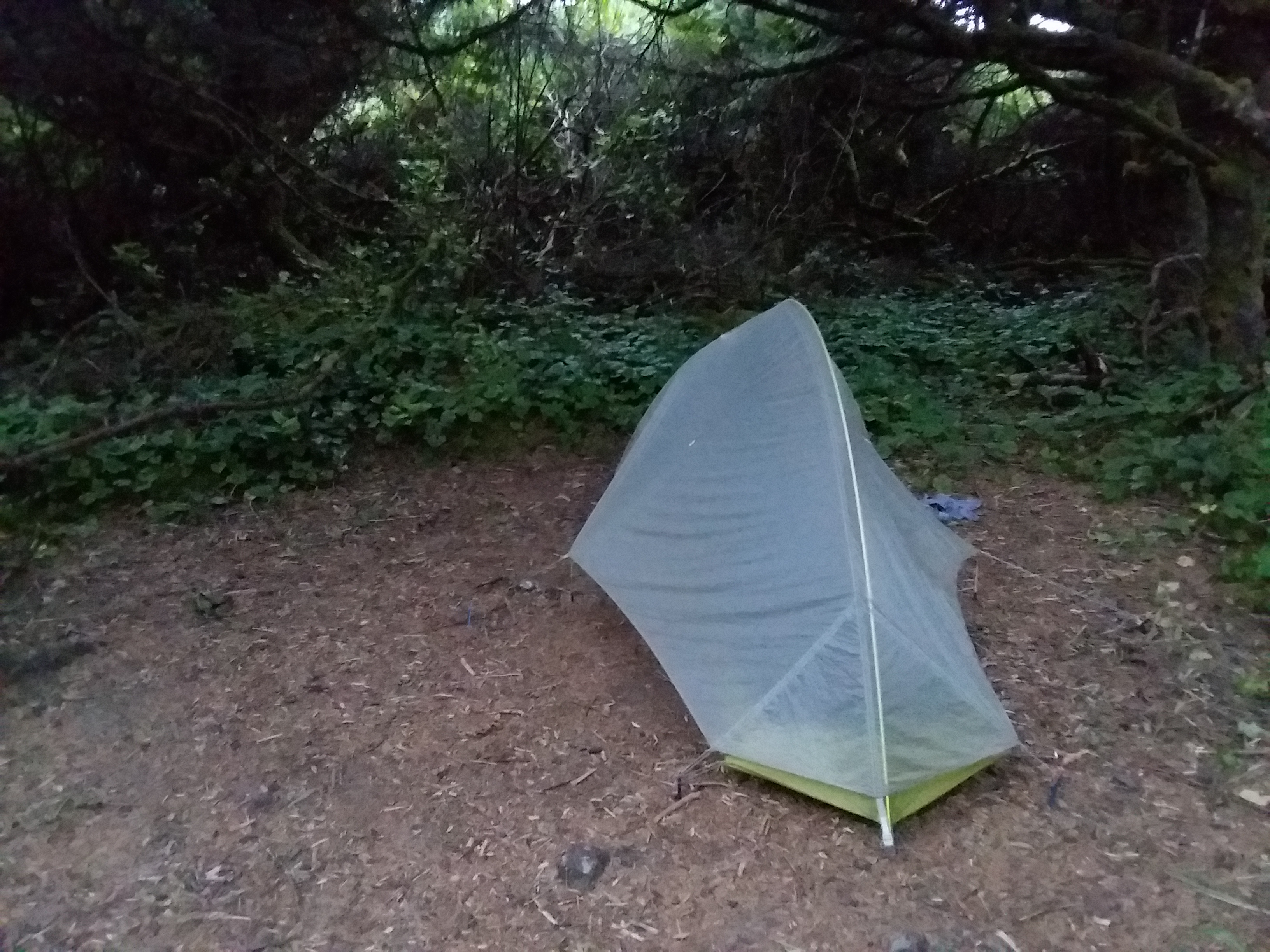
From the top we descended to a Webb County campground. It was fabulous. There were bunnies! Julie got this great photo of me in my tent watching a bunny.
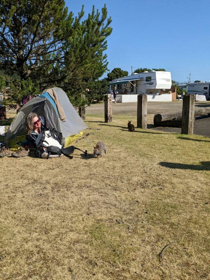
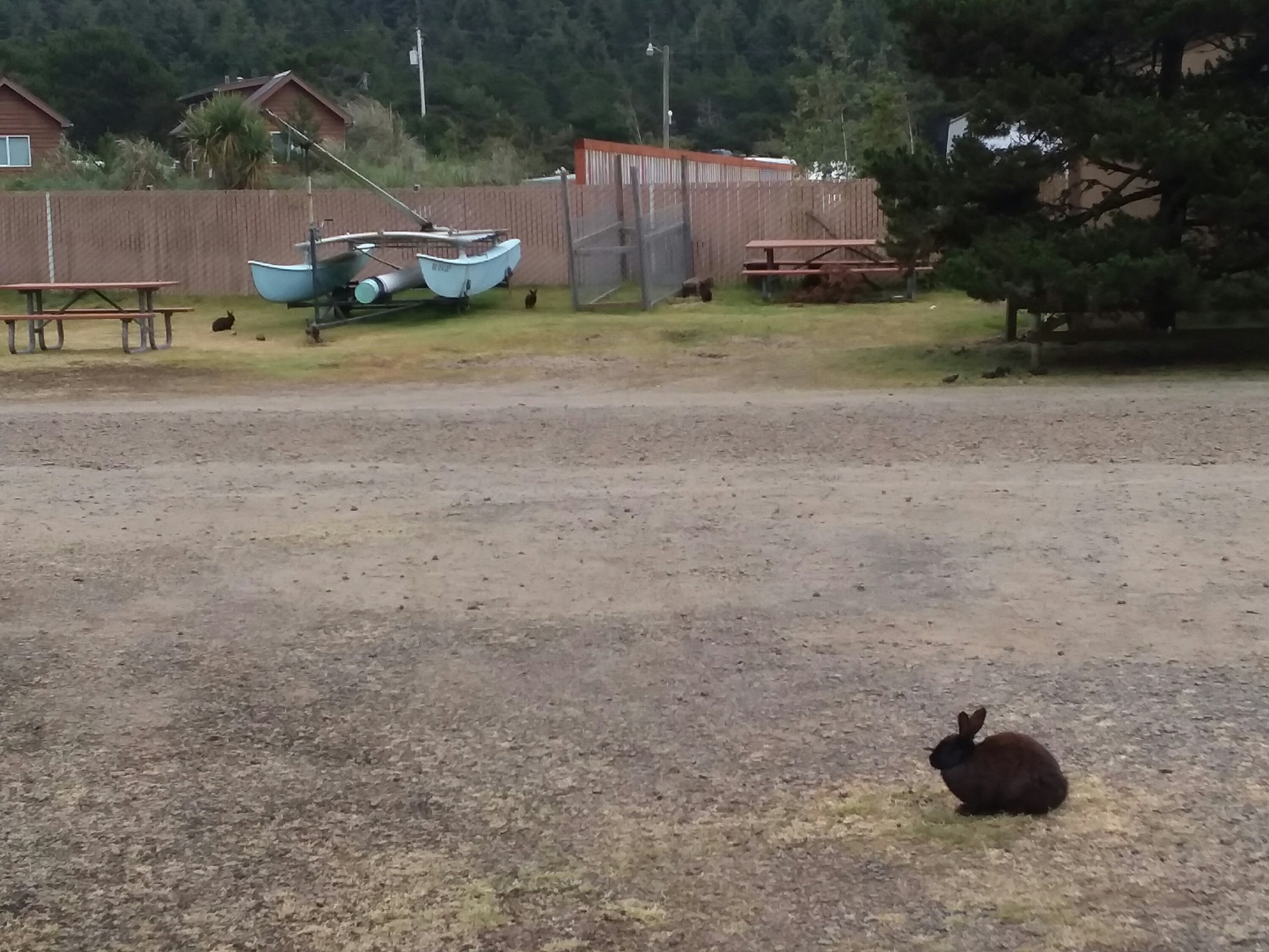
We also took coin-operated showers. Maybe the best few dollars of the trip so far. Was it possible I found heaven?
June 27, Day 10
8 miles
Devils Lake Hiker Biker Camp
The Day of Following Friends
We did not hike many miles today but we covered a lot of ground.
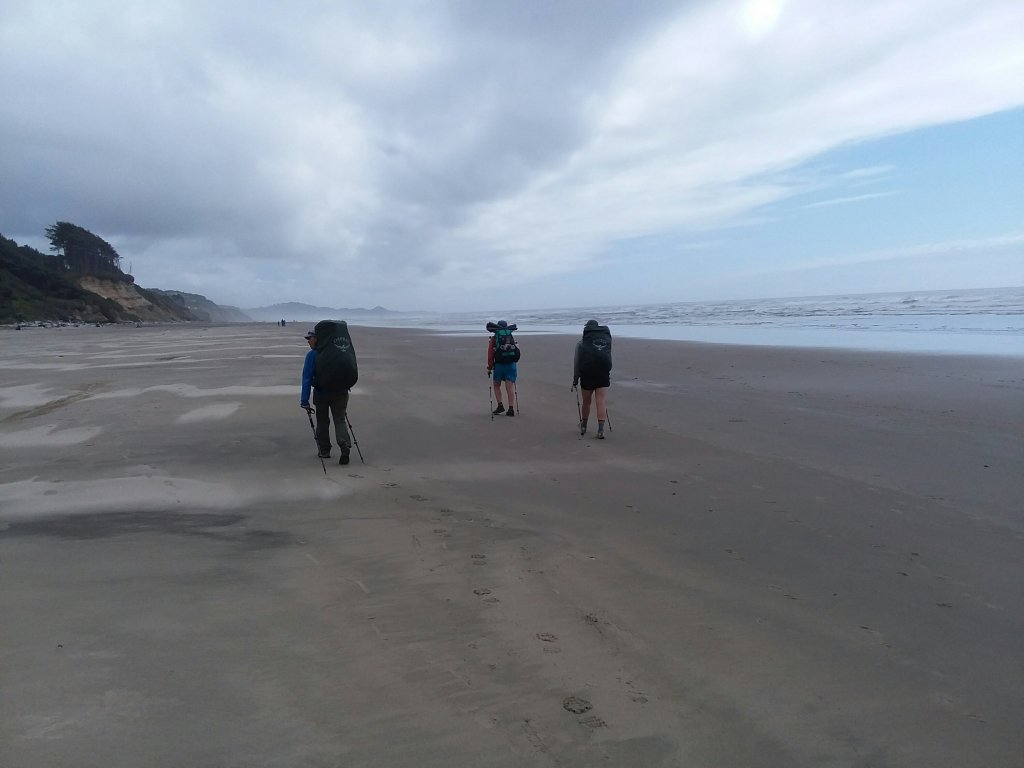
From the Cape Kiwanda area, Julie and I met up with Blade and Savannah who were just ahead of us – we had leap-frogged them a couple of times, meeting for the first time way back at Nehalem Bay State Park on Day 3. We bussed around a dangerous part of Highway 101 together and got back on the beach when it was safe to do so.
It was super windy as we walked on the beach, but the weather improved when we neared the town of Neskowin. From here, Blade and Savannah planned to bus around another section of Highway 101. Given the bus lines and how the trail goes, their plan meant missing a stretch of trail, known for being gnarly and in bad shape, but also memorable. I wanted two futures. I wanted to stick with Blade and Savannah because they were super cool, and I wanted to hike the headland, and these futures were mutually-exclusive. We knew that if we hiked the headland, we would never catch up to Blade and Savannah – the numbers just would not work out. In the end, we opted to follow Blade and Savannah. We both felt a little bad about missing a section of trail, but Blade and Savannah’s reasons for avoiding it made total sense. You cannot hike the headland and avoid Highway 101 on the other side.
We ended up camping together at Devil’s Lake State Park near D River that night.
June 28, Day 11
15.2 miles
Beverly Beach Hiker Biker Camp
Rain, Wind, and the 1st Burger
Today felt longer than it really was.
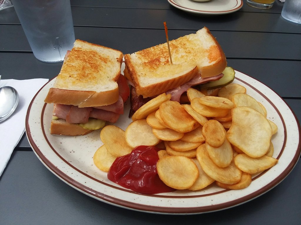
The howling wind and misty rain were pretty miserable, especially on the beach where there is no cover. We huddled at Boiler Bay bathrooms to get out of the rain for awhile. Julie, Blade, and Savannah all wanted clam chowder in nearby Depoe Bay, but when we got there, they were not open. (Were they really not open, or did they see 4 wet, bedraggled hikers coming and decide to not open until we gave up?) Hopes and dreams dashed! Instead we went next door to Burger 101. We took over their small dining room.

The trail paralleled Highway 101 for awhile on an overgrown and not-terribly-worth-it trail. But then the sun came out and things were good again. It was especially nice to return to the beach.

By afternoon, after climbing Otter Crest, we detoured to see Devil’s Punchbowl before a final beach walk to Beverly Beach State Park.

It was a lovely hiker biker campsite and we met a young couple biking across America. For the rest of the trip we kept tabs on them via social media.
June 29, Day 12
13.2 miles
South Beach Hiker Biker Camp
The Day of Many Breaks
Because today was destined to be short due to legal camping opportunities, or lack thereof, we took our time in the morning, chatting with the bikers and thoroughly enjoying a nice beach walk. Throughout the day I watched Yaquina Head get bigger and bigger.
We passed Schooner Point with a cool hole in the rock, only accessible at low tide. Sometimes the coast is just especially interesting and I thought this area had character. It also helped to be sharing it with our two new friends.
We enjoyed a long lunch in Newport where the girls all got their clam chowder at the aptly-named Chowder Bowl. I’m not a chowder person but I supported their dreams.
We walked across a huge bridge, did a quick resupply and arrived at South Beach, perhaps my least favorite hiker biker site due to the proximity of the road and a weird corral around the site making me feel penned in. But it was a good day nonetheless.
It was an odd night because we shared the hiker biker campsite with a drifter who built a fire late at night to cook crabs. He did not seem dangerous at all, but it was a weird vibe. He also slept in what appeared to be kind of a pile of garbage. So yeah, weird vibe.
June 30, Day 13
18.1 miles
Beachside State Rec Area Hiker Biker Camp
The Big Stump Day
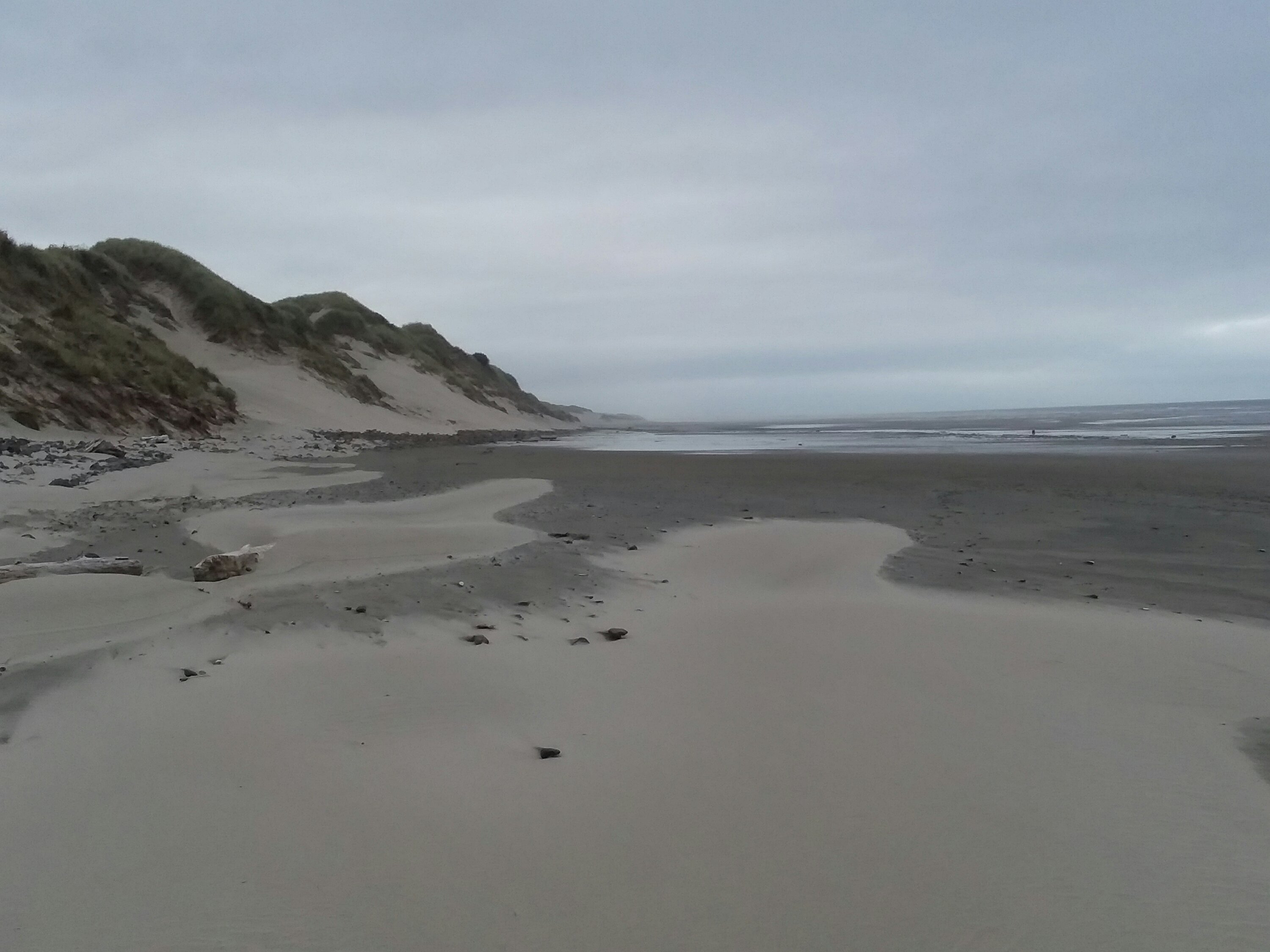
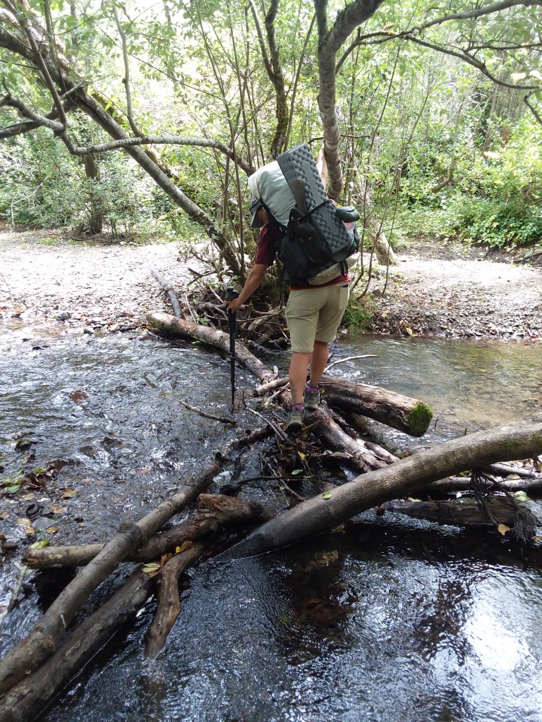
Today was a long but surprisingly good day. It’s not that good days are rare on the Oregon Coast Trail, but today felt special. We knew the hike would be long, so we got a really early start. Luckily, the weather was perfect and the views were gorgeous. We took our first break near the ford of Beaver Creek.
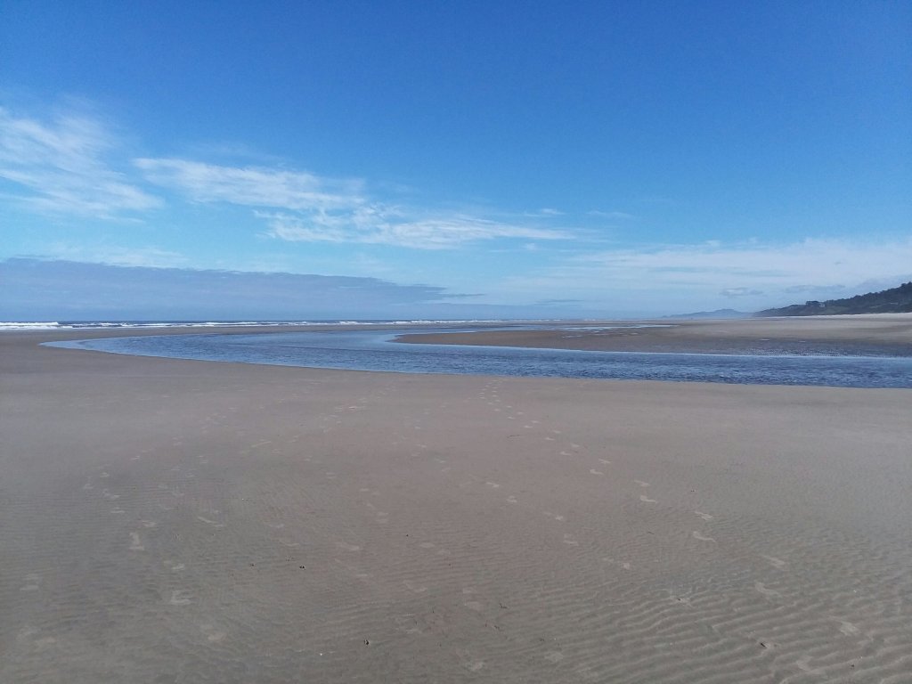
Water crossings are kind of mystical on the beach. You don’t see them until you are practically on top of them.
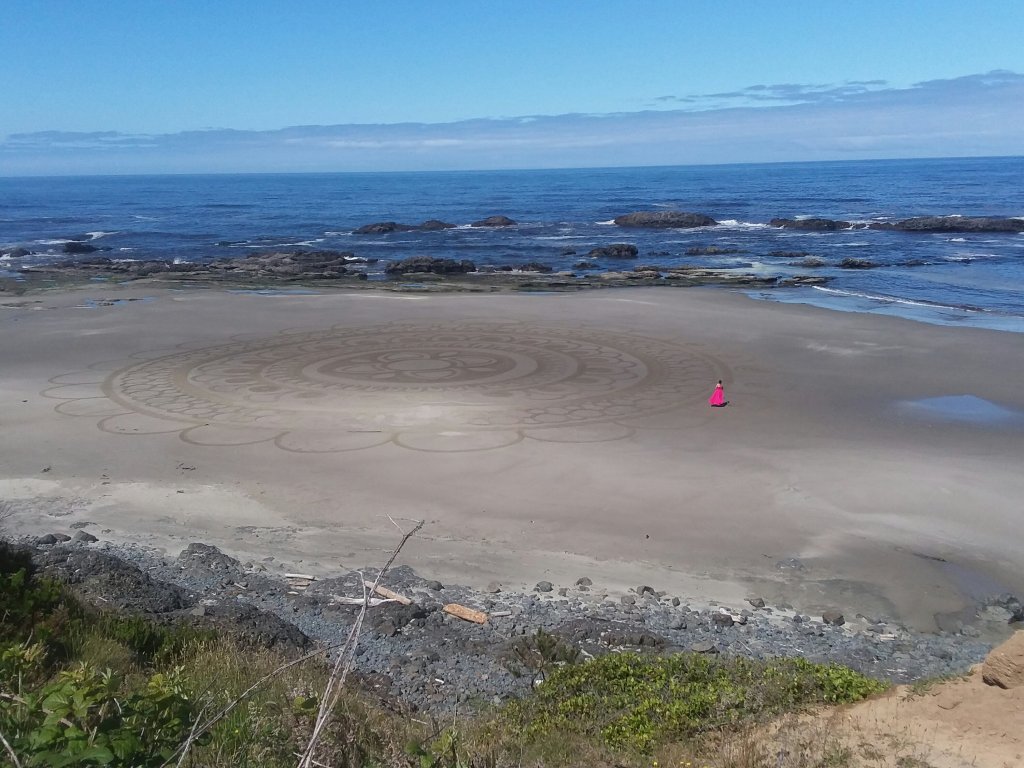
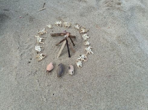
We only had a short jaunt on a road to get around a beach with no possible southbound exit. Oddly, being above the beach was ideal so we could see this mandala artist.
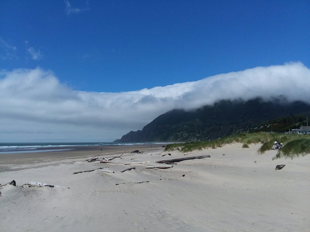
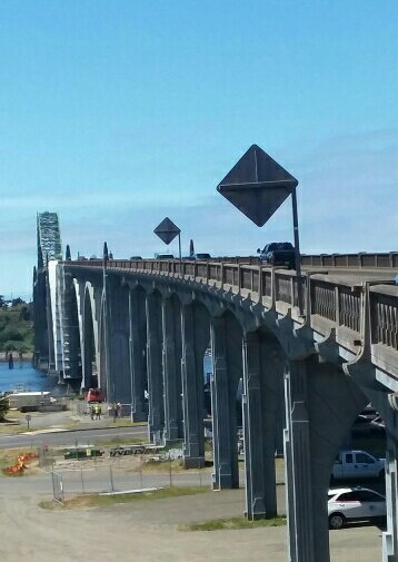
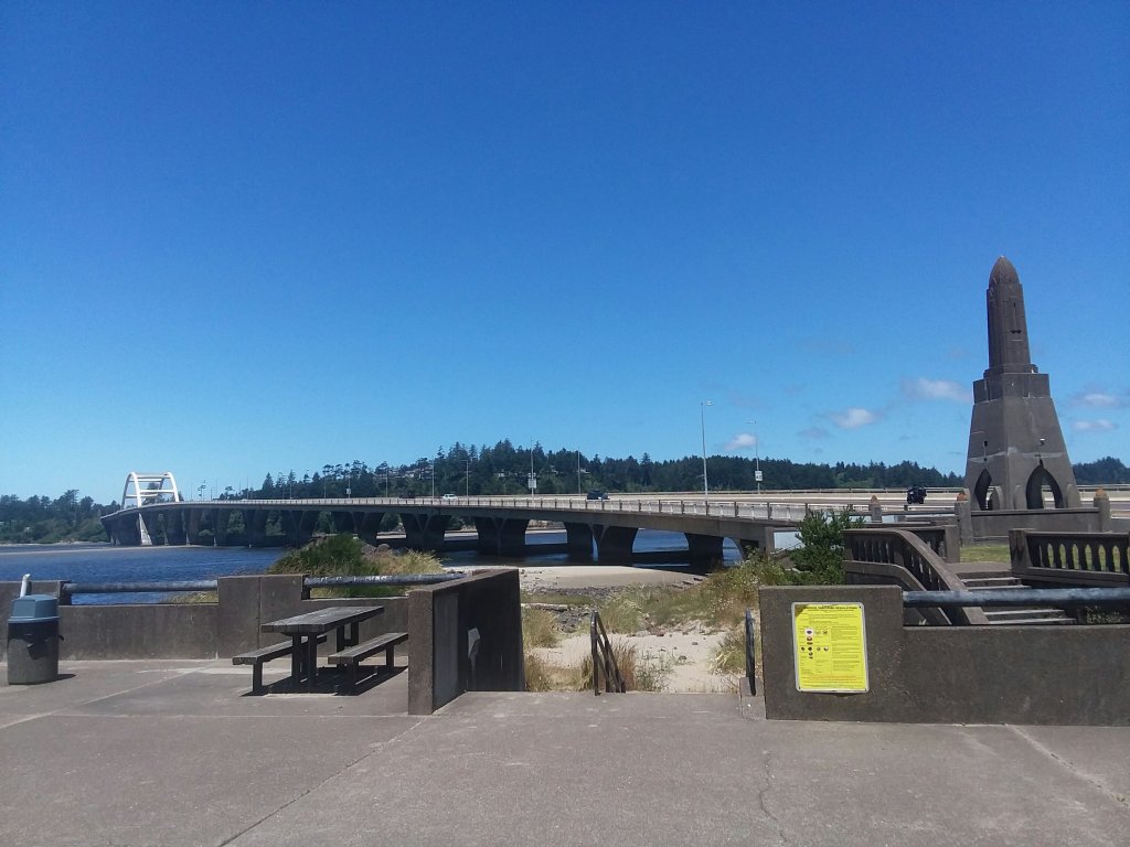
The trail went through Waldport and we crossed this enormous bridge. We then returned to the beach for the final miles to Beachside State Recreation Area.
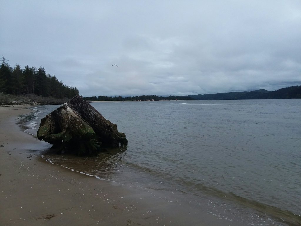
When we were a mile from our campsite, we came across this 1200 year old stump from when redwoods grew this far north. It was an evocative location so we took an hour+ break just laying in the sand enjoying being there.
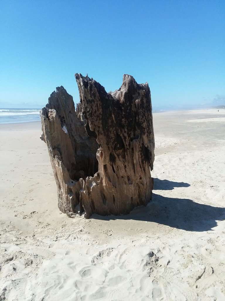
Rarely on a trail do you know you’re living the happiest moment of the adventure. And it’s possible that wasn’t the peak. But it sure felt that way. I was glad to be aware of it in the moment as we lounged in the sun.
When we finally decided to move, I walked the final mile barefoot.
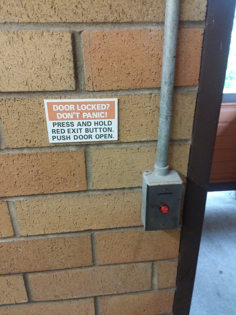
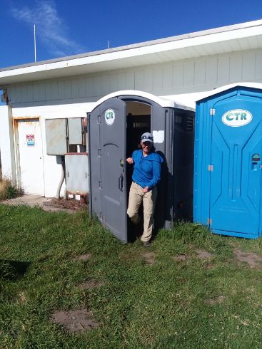
When we arrived at our campsite, the nearby bathroom had this sign. What? Why is this a thing??
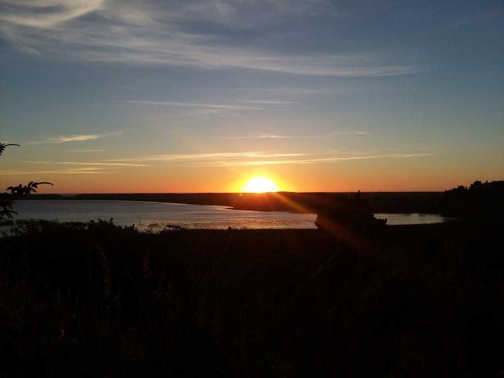
Sunset was lovely that night and my little site was a delight.
July 1, Day 14
11.5 miles
Carl Washburn Hiker Biker Camp
Magic Atop Perpetua
We knew we had a pretty interesting day ahead of us, going through the funky seaside town of Yachats and then climbing a thousand feet up Cape Perpetua. But first: urchins and barnacles!
Yachats was indeed pretty cool. We resupplied and got a bite to eat. There was a nice trail network through town. This is one of the only bits of trail on private land.
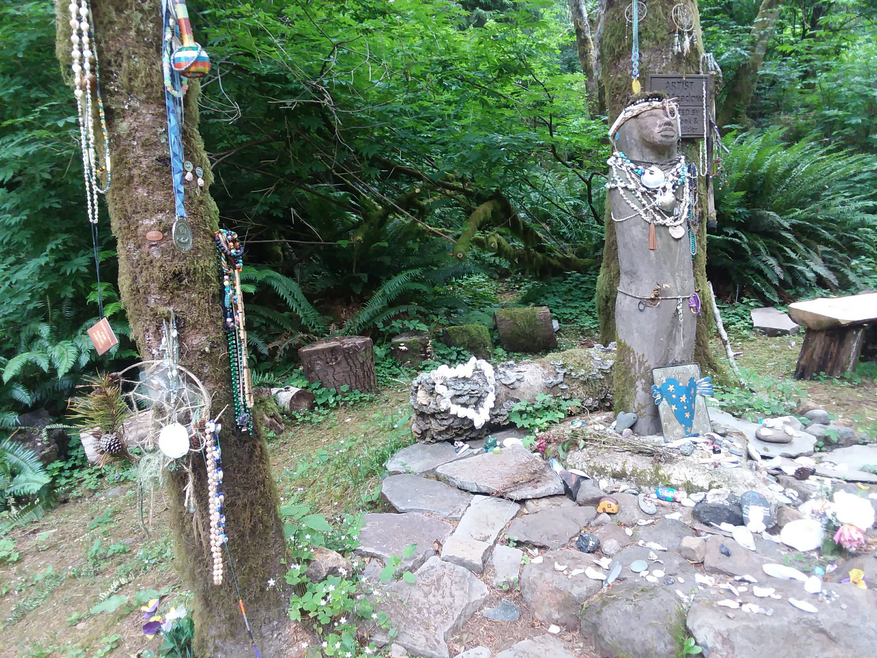
As we neared Cape Perpetua, we saw several statues, many with meaningful backstories like Amanda, pictured above. Amanda De-Cuys was an Indigenous woman submitted to horrors by the United States government. This part of the trail bears her name.
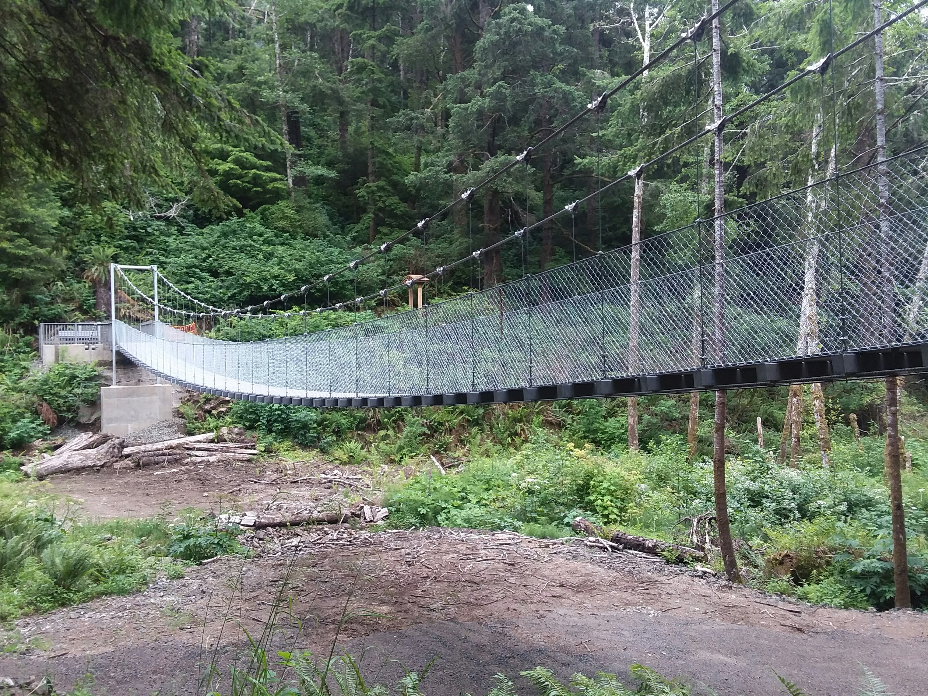
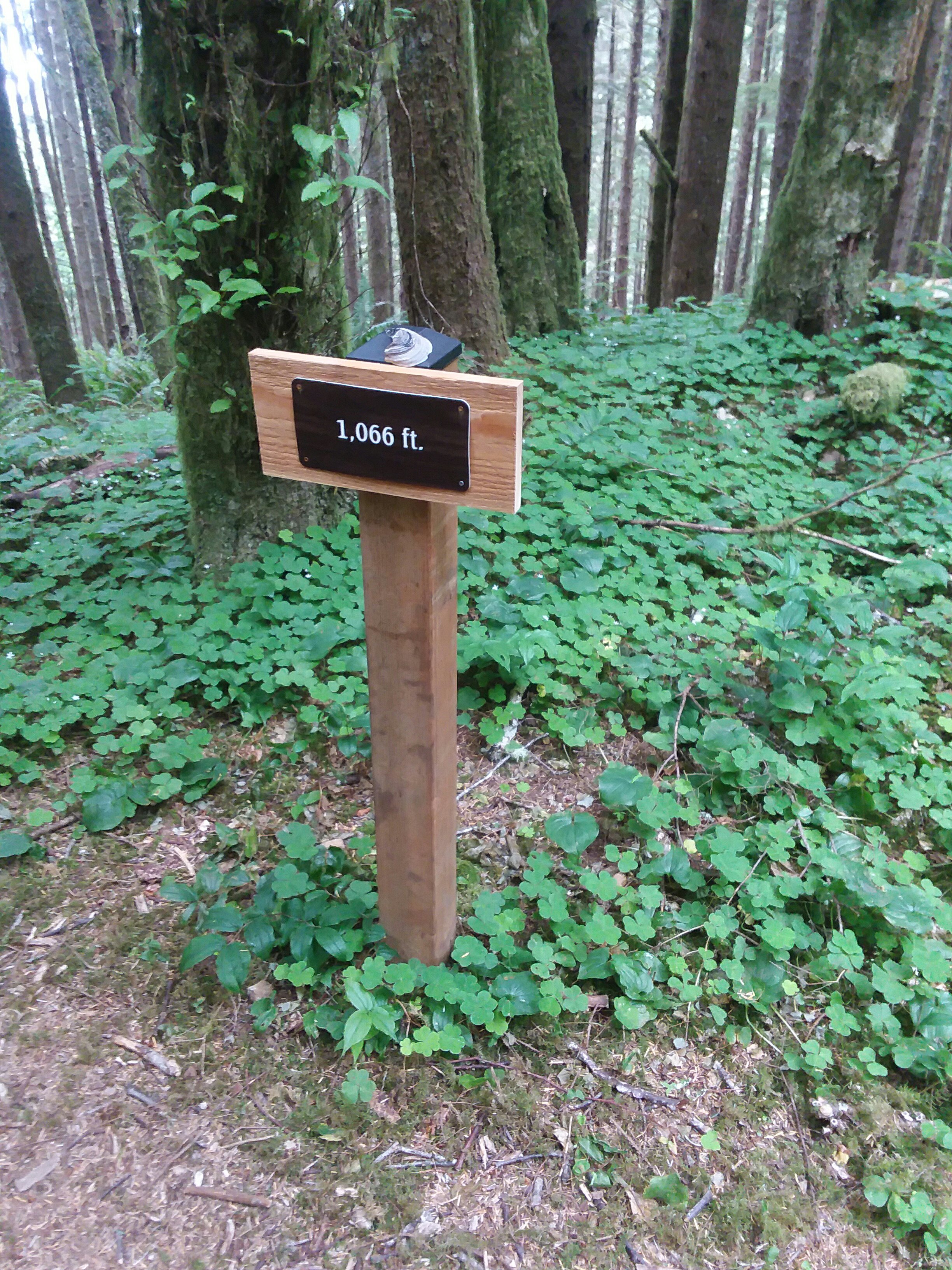
There was a cool suspension bridge and many random elevation markers. None of them were at normal elevations – they were like 194 feet, 820 feet, etc. They didn’t even seem to be spaced at noteworthy distance intervals.
The trail was very rainforesty and the view from the top was spectacular! We camped at Carl Washburne Memorial State Park because Cape Perpetua got rid of their hiker biker campsite (side eye skeptical glare). It was very busy with bikers, likely because Cape Perpetua disowned us all, but we were happy to have a spot and I even took a shower. It was a pretty great day.
July 2, Day 15
5 miles
Sand Dune Stealth
The Parting of Ways
From a bus stop near Carl Washburn, we took a ride through the Heceta Head Tunnel, known for being the sketchiest tunnel on the coast for hikers and bikers. People reported running through the tunnel, flattening themselves against the walls of the tunnel to avoid traffic, and other mayhem that sounded like a Bad Idea. We regretted nothing.
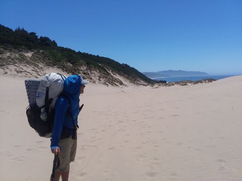
Our morning hike involved some deep sand dunes. It was my first real taste of the sandpocalypse to come. As I type this, I’m pretty sure I have 3 cups of sand in my backpack. I have sand in every Ziploc baggie, in every article of clothing, and inside my ear.
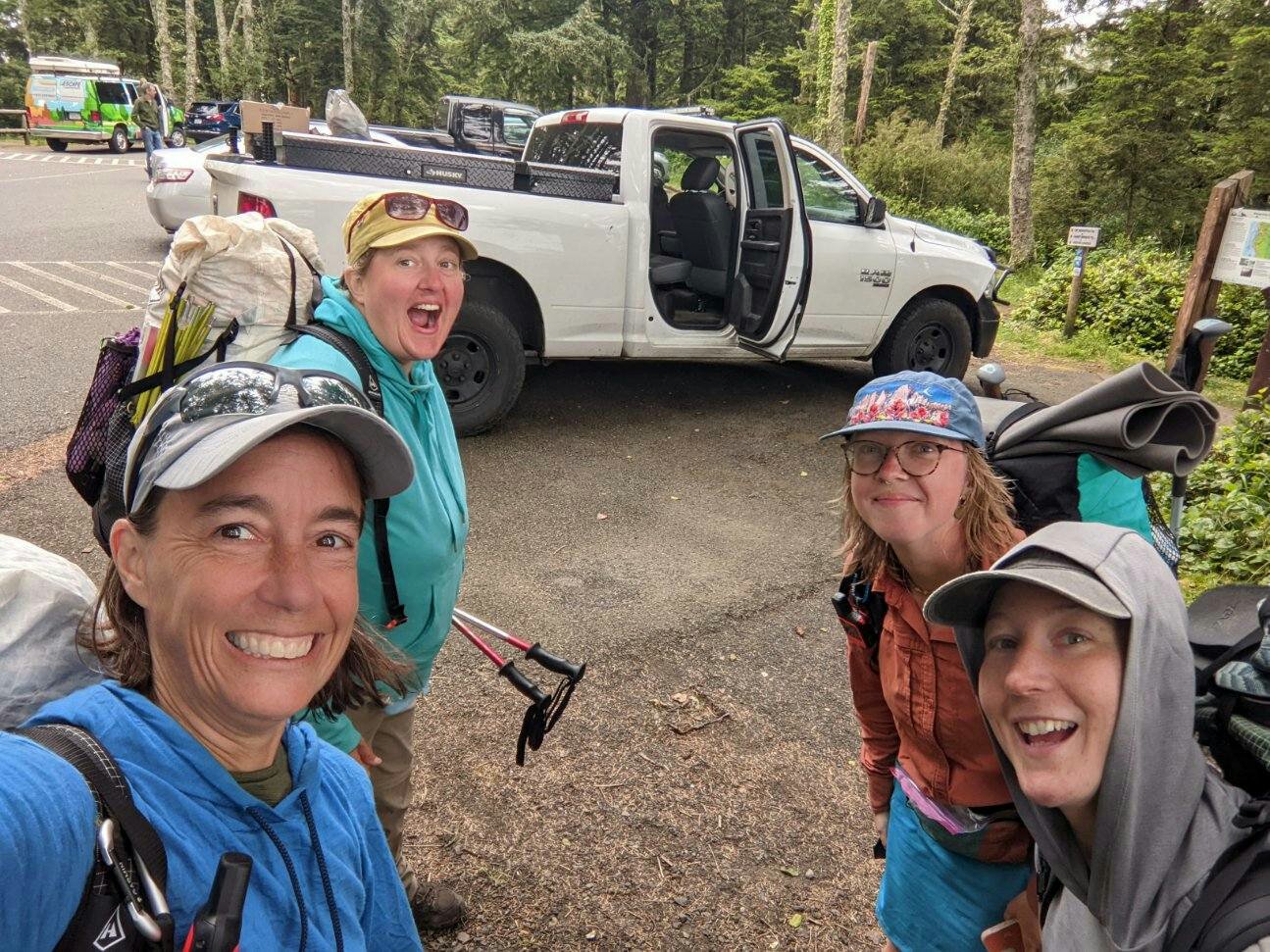
It was still fun and exciting at first. We enjoyed the morning hike with Blade and Savannah, now named “Unplugged,” but halfway through came the parting of ways. Julie and I had a zero day booked for Florence; they had one in Bandon. Our little tramily was done. It was really sad.
But I felt lucky that we had some time with them. On this trail, there isn’t enough traffic to assume you’ll meet anyone, let alone anyone you get along with, let alone find a way to band together into a group of four. I think that was highly unusual, and I was grateful for the experience.
As Julie and I started our walk into town, we realized that the place we had intended to camp was kind of terrible. Luckily we met a couple of locals out walking their dogs and they suggested a place we could legally tuck in for the night.
It was an absolutely beautiful place to camp and the short day was much-appreciated.
Julie made friends.
July 3, Day 16
5.9 miles
Lighthouse Inn, Florence
Laundry Day
In the morning we woke up and started our walk to town when we ran into one of our locals again! Ed gave us a lift to the laundromat where we took $4 showers (EXCELLENT VALUE) and did laundry.
We got breakfast and then we resupplied.

We then made it to Lighthouse Inn. Charming place and people.
July 4, Day 17
0.0 miles
Lighthouse Inn
Zero Two
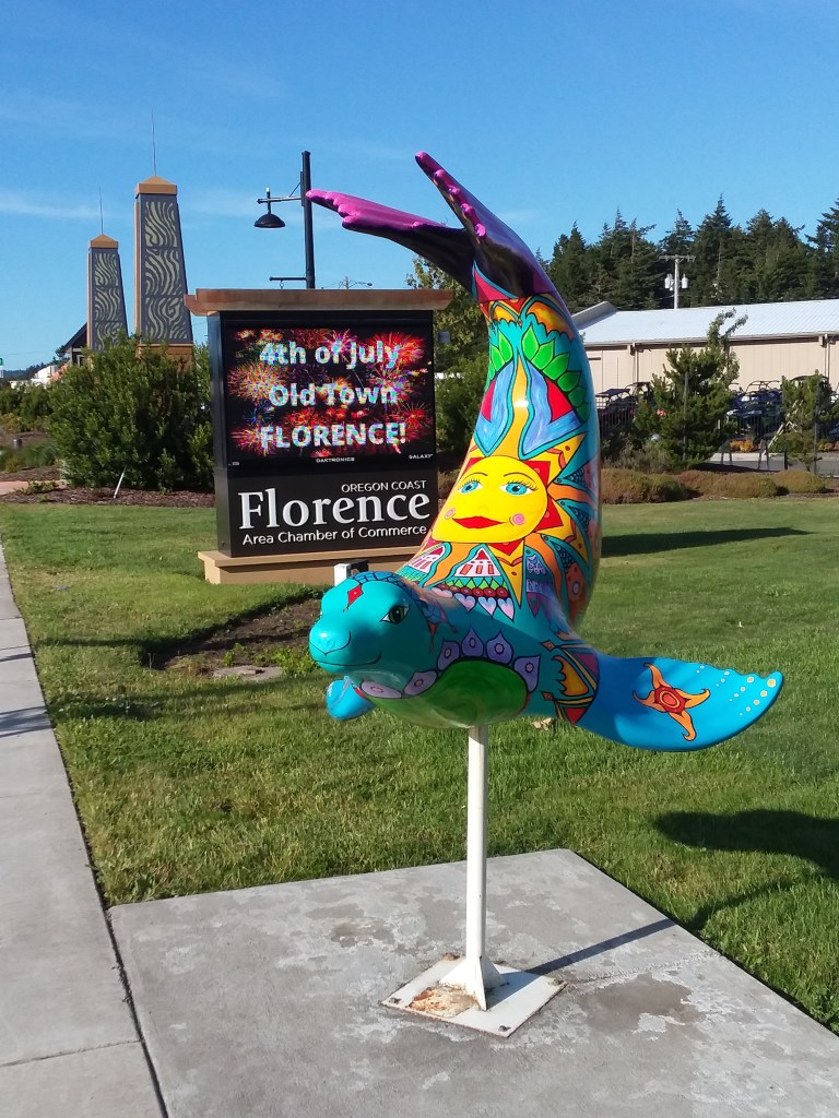
Florence was a lovely place to take a day off. Because we had just taken two short days in a row, a zero wasn’t physically as necessary as it might have been, but Julie had some work to do and Florence is about the halfway point, so it made sense to take a more extended break. Plus, you must book ahead for many motels on the shore, so you have to guess how you will be feeling and where and when you might need more of a break.
We had a chance to visit Homegrown Brewery, see some seals, walk around the Old Town, and enjoy the fireworks right from our front door.

I think Florence was my favorite town. It felt touristy without being too touristy. It felt like people actually live there and can perhaps even afford to live there… but that may just be ignorance on my part.
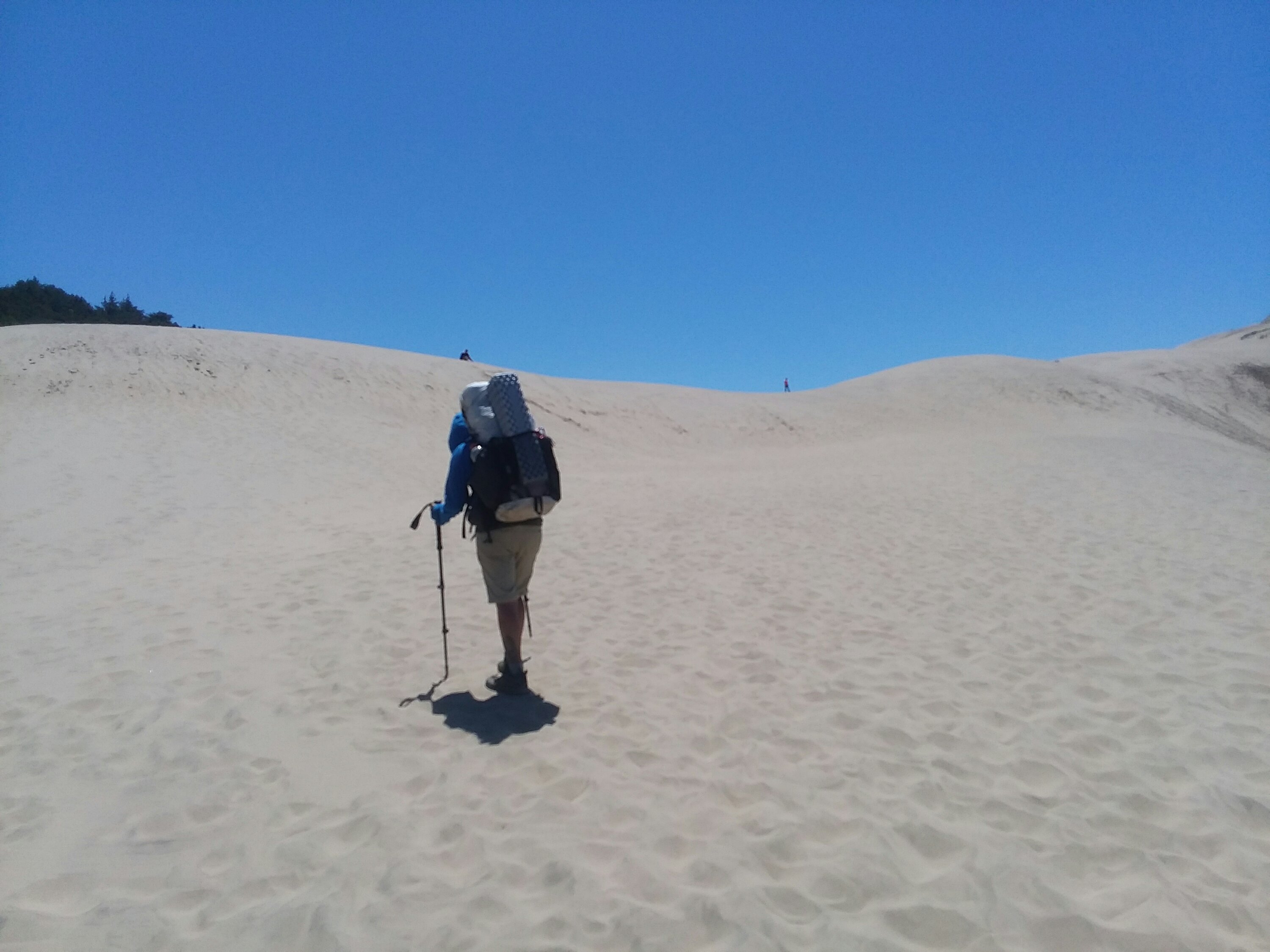
July 5, Day 15
17.2 miles
Threemile Lake Dune
A Night in the Dunes
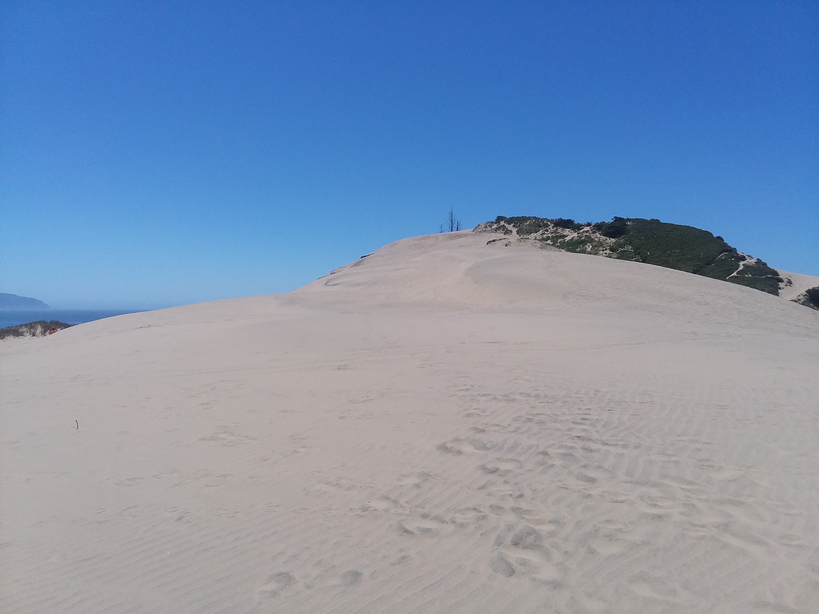
Leaving Florence to head into the dunes was quite exciting. I love national recreation areas, but I admit this one ended up being one of the least favorite I’ve visited.
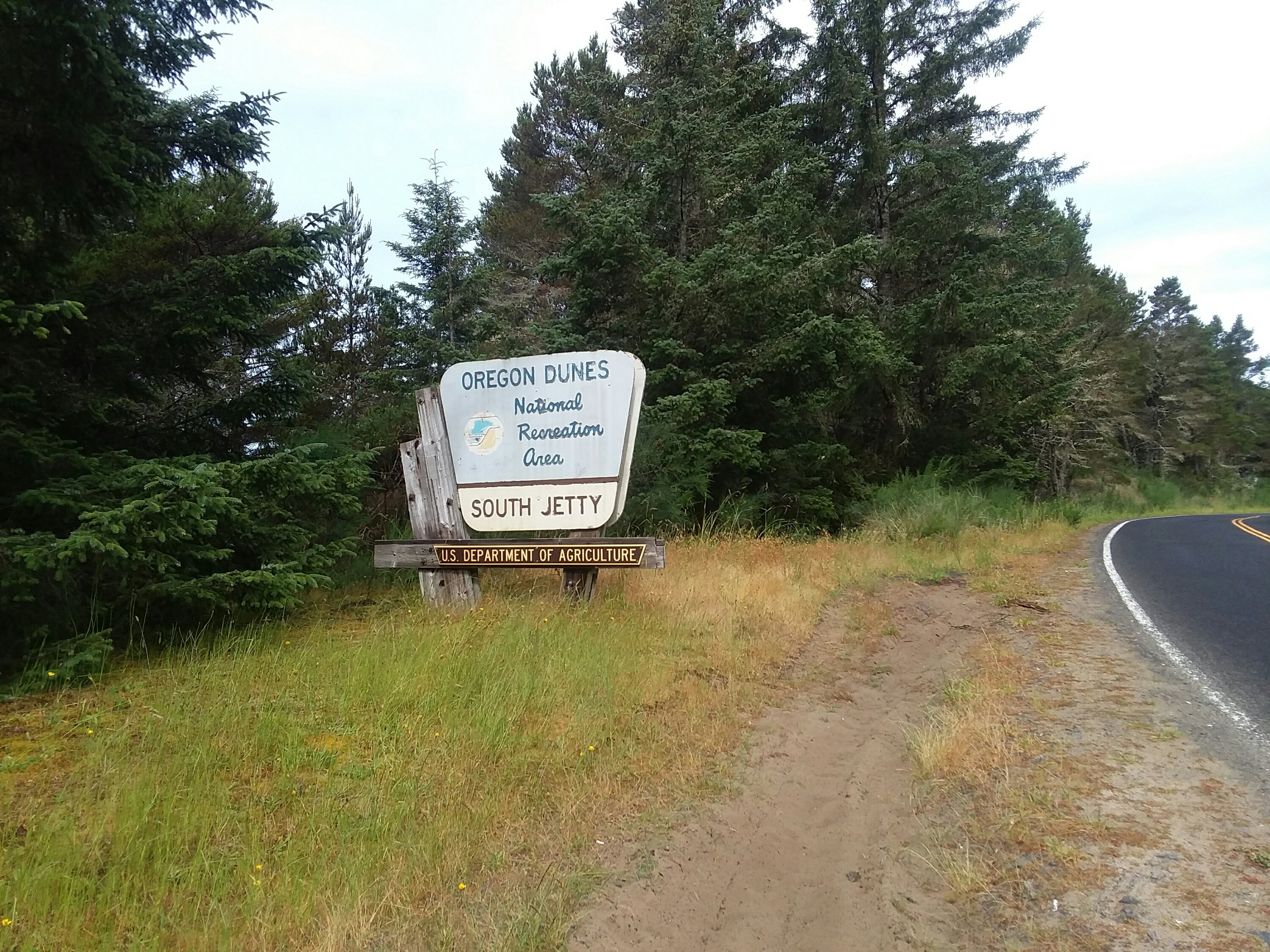

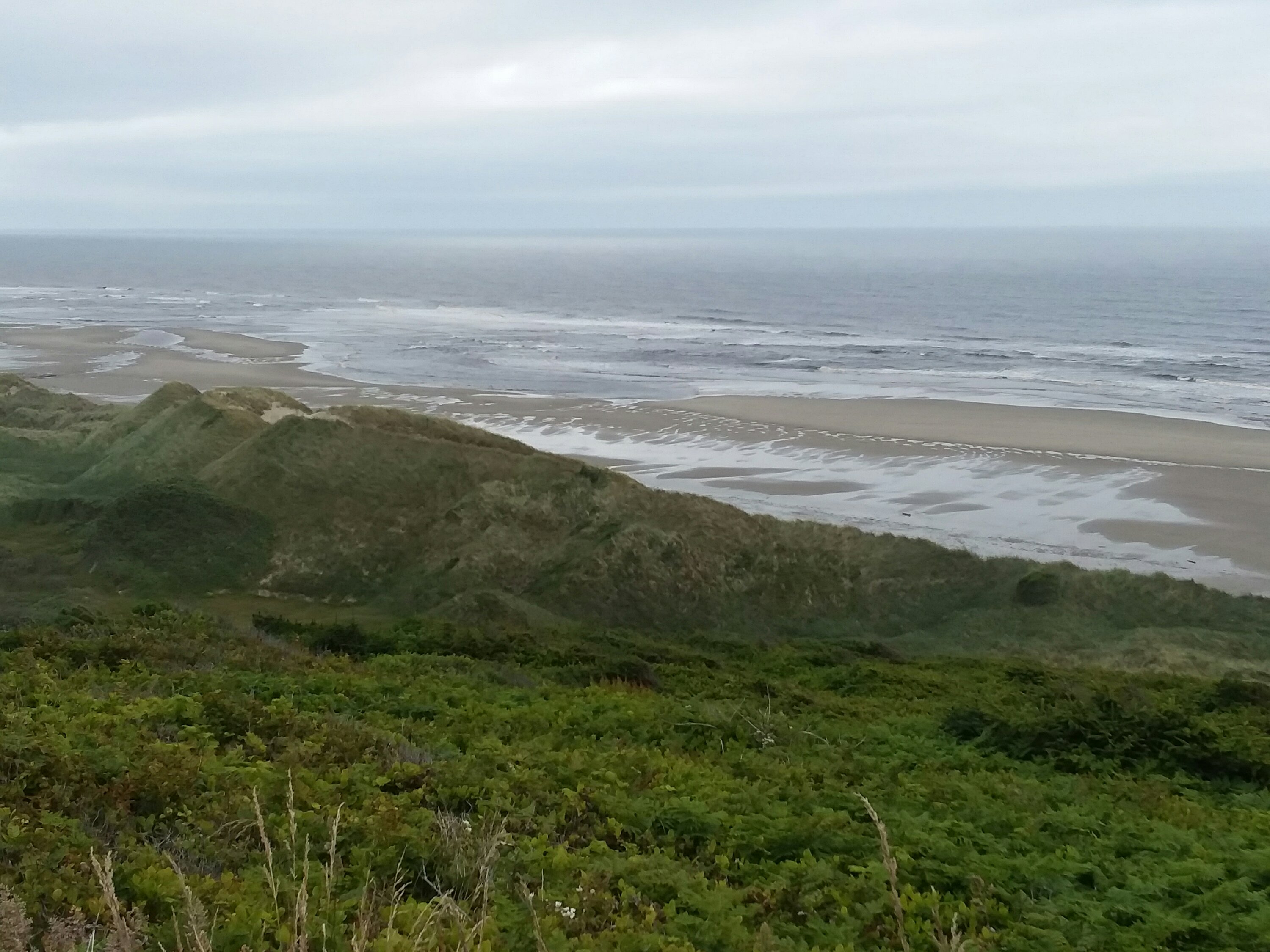
The dunes are scenic and strange. We walked in a cloud for a full day which made them tremendously ethereal.
One major challenge with the dunes is the restrictions involving snowy plovers. These are very endangered birds and due to their nesting, big portions of the beach are closed for half the year. Hikers are allowed to walk on wet sand around the areas in question. But camping becomes extremely challenging.
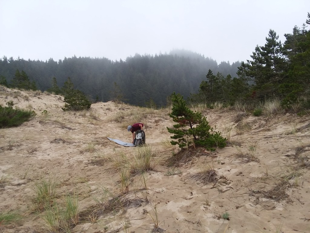
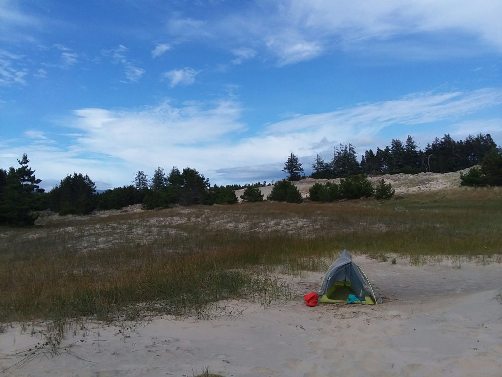
We walked off-trail quite a distance to get to a camping area. We set up just as it began to rain.
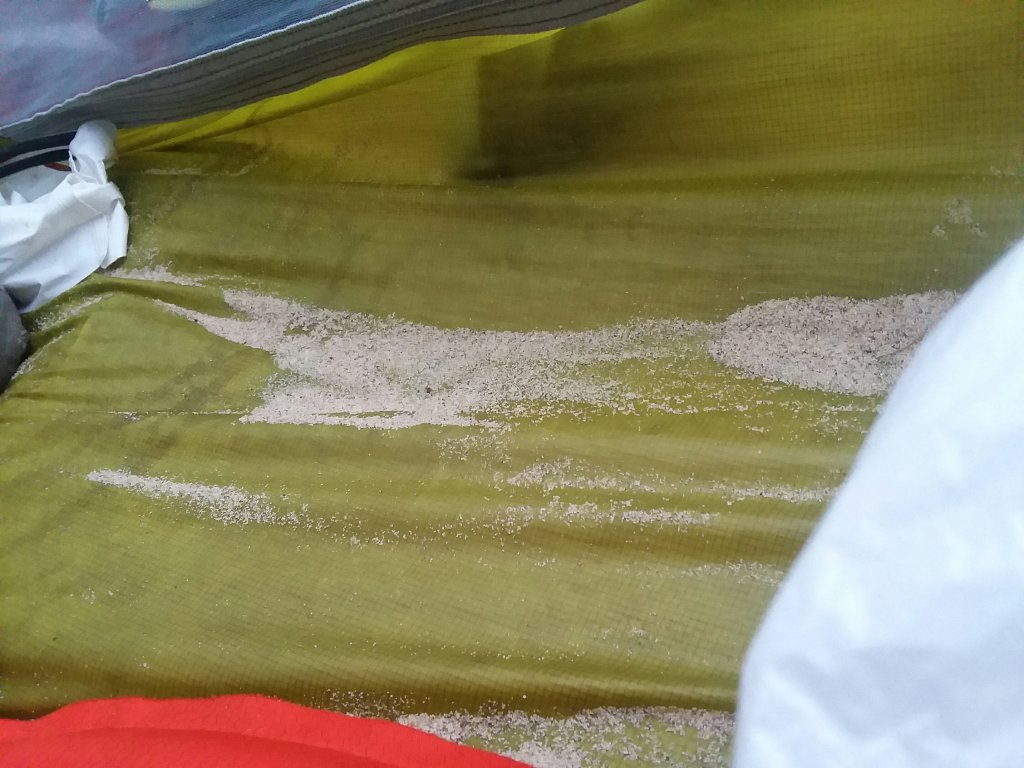
So. Much. Sand.
July 6, Day 19
11.5 miles
Fisherman’s RV Camp
Winchester Bay Day
We awoke to more of the same cloudy grossness. But the beach was silent, punctuated only by a ranger on patrol who we named Sara and invented a backstory for. We took breaks to dry our clothes and by the time we reached a long jetty, the sun was out. We followed the jetty to a giant stump where we were going to meet our shuttle across Winchester Bay.
It was fun to zoom across the bay. … and then we camped in town at a lovely little campground where we were the only tents. Lots of RVs. No tents. It was cool.
July 7, Day 20
18.5 miles
Horsfall Stealth
A Douche of OHVs Day
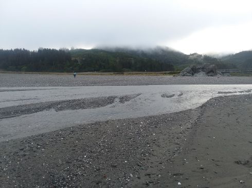
A light rain fell overnight and into the morning but it was a pretty easy roadwalk to return to the beach. It was a long beach walk with a big ford at Tenmile Creek. We hit the crossing 2 hours before low tide, so not perfect, but we tried it and did okay. As we sat and dried off, a ranger showed up to lecture us about plovers. As if we were not keenly aware.
And then we hit the OHVs.
A substantial portion of the dunes is open to off-highway vehicles. I am in principle fine with that. I think machines like that are inherently wasteful and destructive but, as they exist, people should have places to play. But dang, it’s not pleasant to walk through an exhaust-fest. I’m also really skeptical about strict plover restrictions for hikers adjacent to areas where off-highway vehicles rip everything up. Really? How does that make sense?
The rest of the day was spent in and around OHVs. Julie and I decided that the grouping noun for a bunch of OHVs would be a douche. That’s what we experienced, at least.
The last five miles of the day were really rough. High tide took away easily-walkable sand, I was getting a blister, and and there were so. many. OHVs.
We finally got to a place on the beach where we could legally camp without hurting the snowy plovers and without being run over by off-highway vehicles. This was the first time we camped directly on the beach. It was an absolutely beautiful evening to be on the beach.
Unfortunately, that night, someone came to our tents and stole my hiking poles. What is even creepier than being stolen from is the fact that my poles were directly next to my tent and somebody came within one foot of my body while I was sleeping in order to steal them. Given our proximity to where the off-highway vehicles roamed, and the complete lack of hikers we have seen, I know which user group it was.
A douche of OHVs indeed.
July 8, Day 21
8.2 miles
Bullards Beach Hiker Biker Camp
Righting Some Wrongs Day
Of all the places for my poles to be stolen, that particular spot was a pretty good one. We were only six miles from the town of North Bend. Next door to the grocery store where we already planned to resupply was an outdoor shop, so I was able to replace my poles. I am still very sad about the loss of my poles. They were only the second pair I have had in my entire hiking career and I was attached to them. However, I am beyond grateful that I was able to find another pair because I really struggle to hike without poles.
The day soon got even better as we took a bus to avoid a long road stretch. I would rather have more time to spend in prettier places than long, long roads. And this meant that we got to Bullards Beach State Park much earlier in the day than we otherwise would have.
Bullards Beach State Park has probably the nicest hiker-biker site I have experienced. It had a charging station, shade and sun, and a somewhat secluded corner where we set up.
It felt like Oregon was trying to redeem itself for its OHVs.
July 9, Day 22
5.0 miles
Bullards Beach Hiker Biker Camp
Zero(ish) Three
In fact, we liked the park so much that we decided to spend another day there. It was a spontaneous day off, but as the end of this trip nears, we were confident in the number of miles we had left and the time it would take.
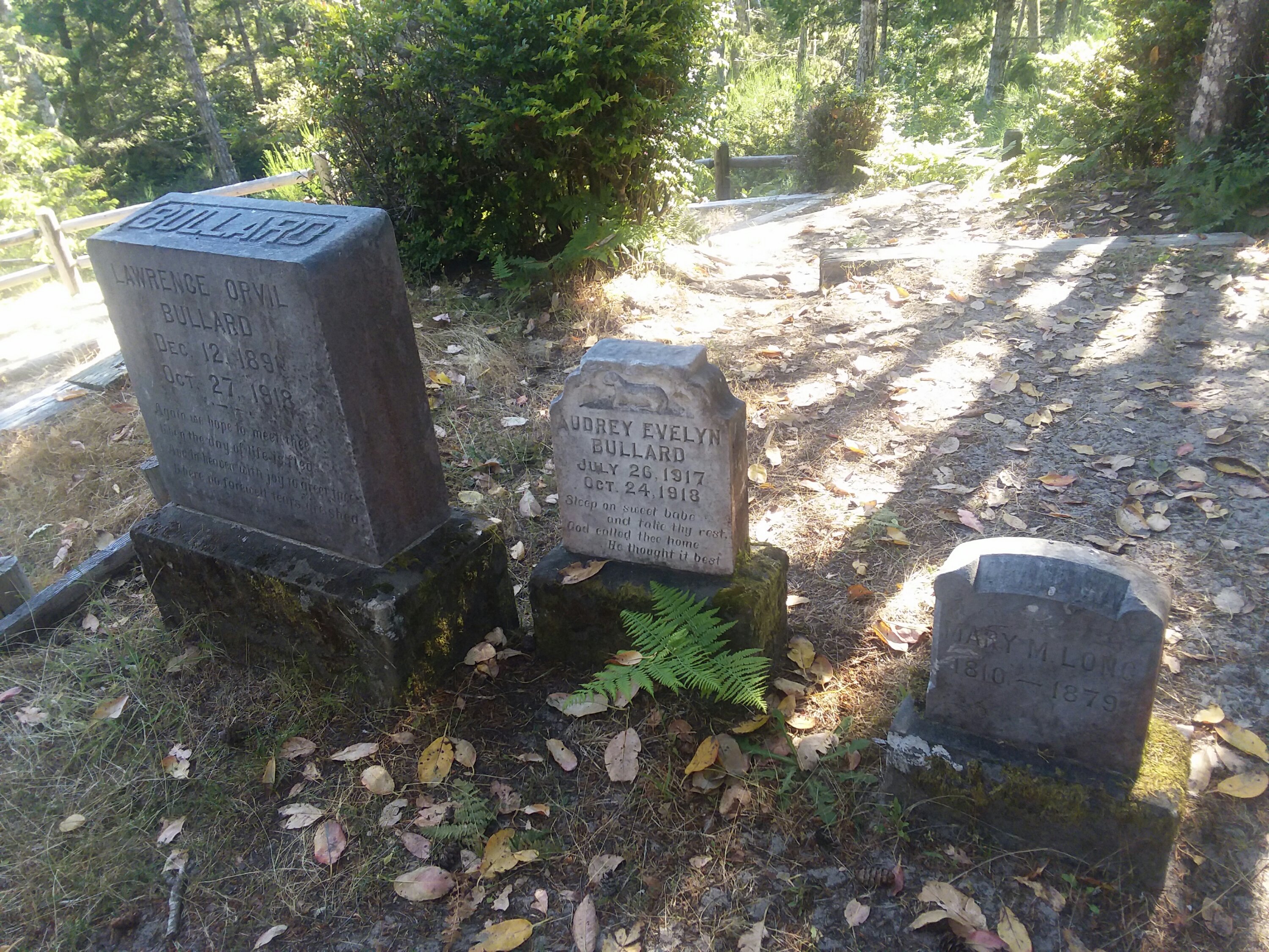
Because we took a day off, we had time to visit the Coquille Lighthouse, attend two ranger programs, make friends with camp hosts Tom and Sharon, hike to a cemetery, and get recharged. We also did a bonus hike into town just for fun.
July 10, Day 23
11.3 miles
Floras Lake
The Day at the Deli
Hiking through Bandon the next morning was very enjoyable. It seemed like a funky and friendly little town.
We were pretty stressed though. The nearby New River was running too high for us to safely cross. The only alternative was a 24 mile day along a lot of Highway 101. No legal camping could break it up. It sounded like a horrible way to spend a day.
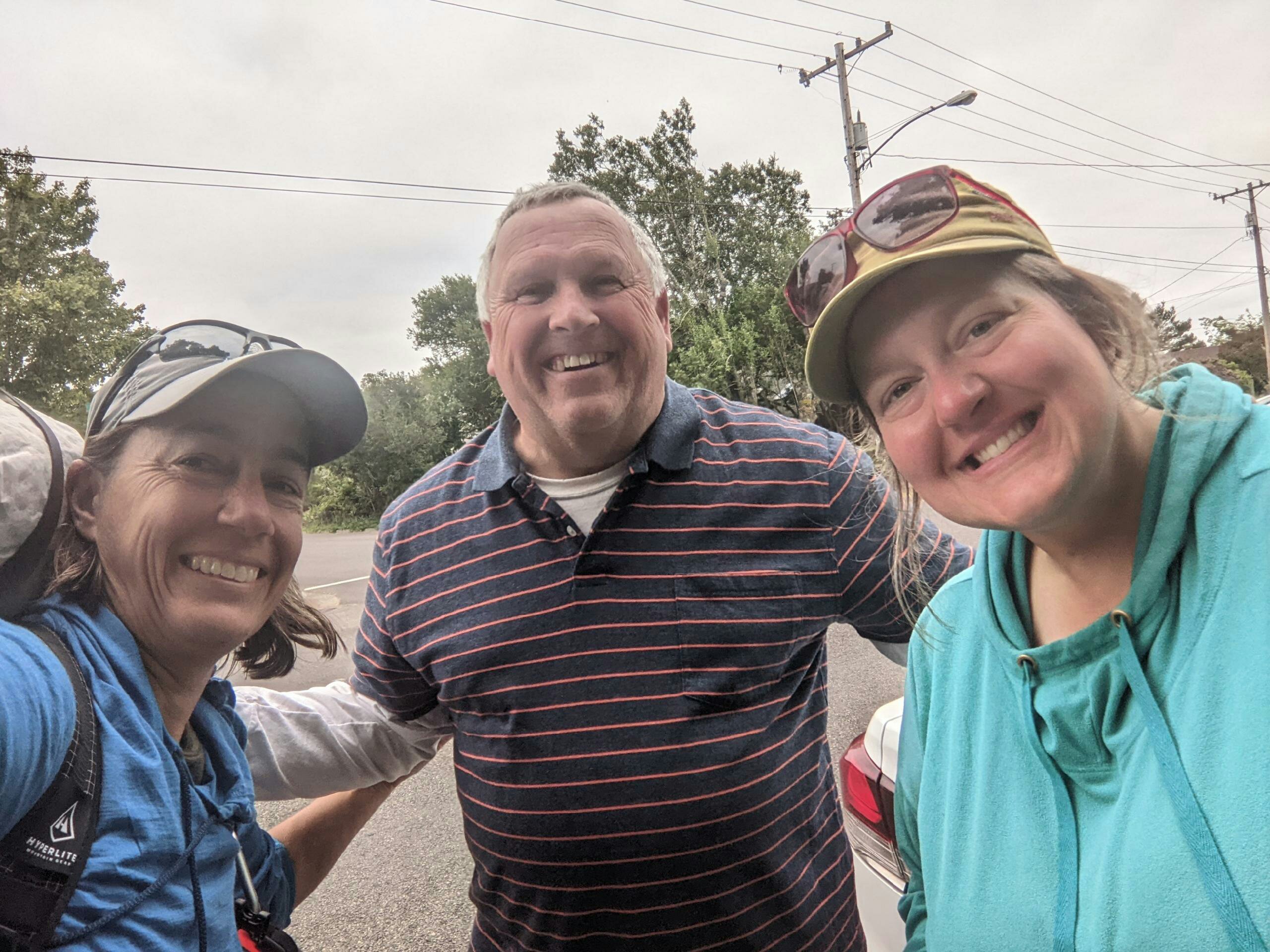
Luckily, we ran into Jeff and Kingsley and got a ride to Langlois, cutting out the Highway 101 deathmarch. It was a true gift to not have to endure those miles on foot. We were so grateful. It changed the entire day for us and made our memories of the day spectacular instead of deathmarchy. The kindness of strangers was appreciated beyond words.
We walked the remaining miles to Floras Lake and enjoyed a spectacular evening there. We were relieved to be south of the New River. No matter how we got there.
July 11, Day 24
11 miles
Cape Blanco State Park Hiker Biker Camp
5, 6, 7, 8
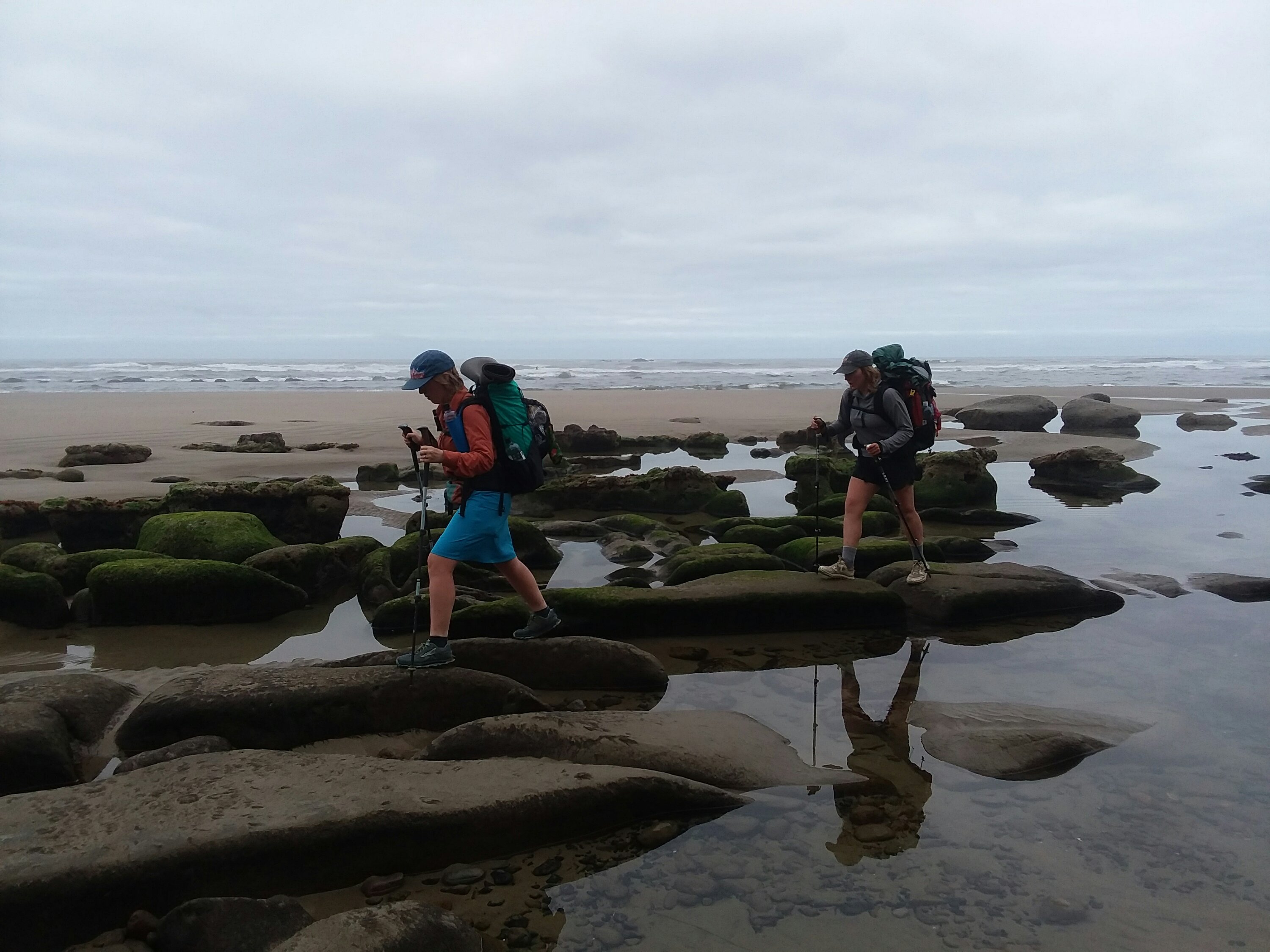
We got a very early start from Floras Lake – up at 5am. We needed to cross the Sixes River before high tide, and every minute we delayed, the worse the crossing would be. So naturally this was the day we got turned around as we tried to cross Blacklock Point. Our error put us deep into kitty-litter sand – the worst sand of the entire trip, where you sunk every step.
Luckily, we moved quickly and discovered the error and we made it to the crossing by 7:30. I was glad the water was low, only shin-deep. I did manage to lose my buff in the crossing – it was beautiful and I loved it. I had taken off my pants for the crossing, and of course, OF COURSE, a northbound hiker managed to be hiking towards us at that exact time. Of course!
I called it the 5, 6, 7, 8 Day because we awoke at 5 to cross Sixes River, arrived there at 7, then we ate. I hadn’t really had breakfast because I was in such a rush to get to the crossing.
We were battling monstrous winds – 20+ miles per hour.
Meanwhile, the distant Cape Blanco Lighthouse grew ever closer in the distance.
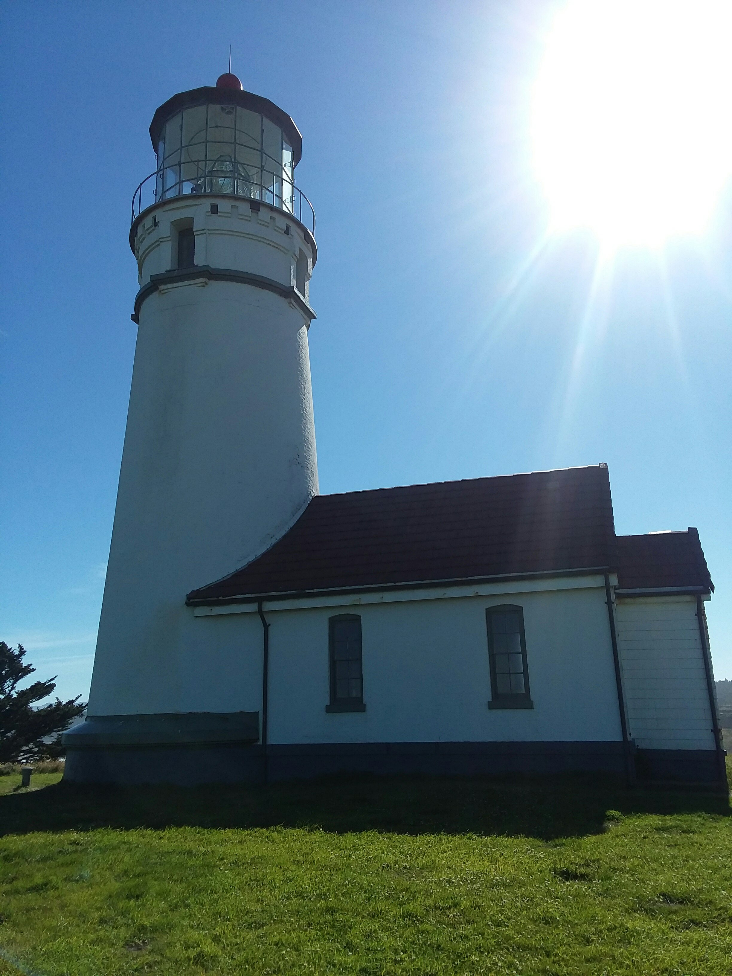
We ascended from the beach and got to enjoy Cape Blanco before crowds arrived. For a moment we were the westernmost people in Oregon. It was such a cool area.
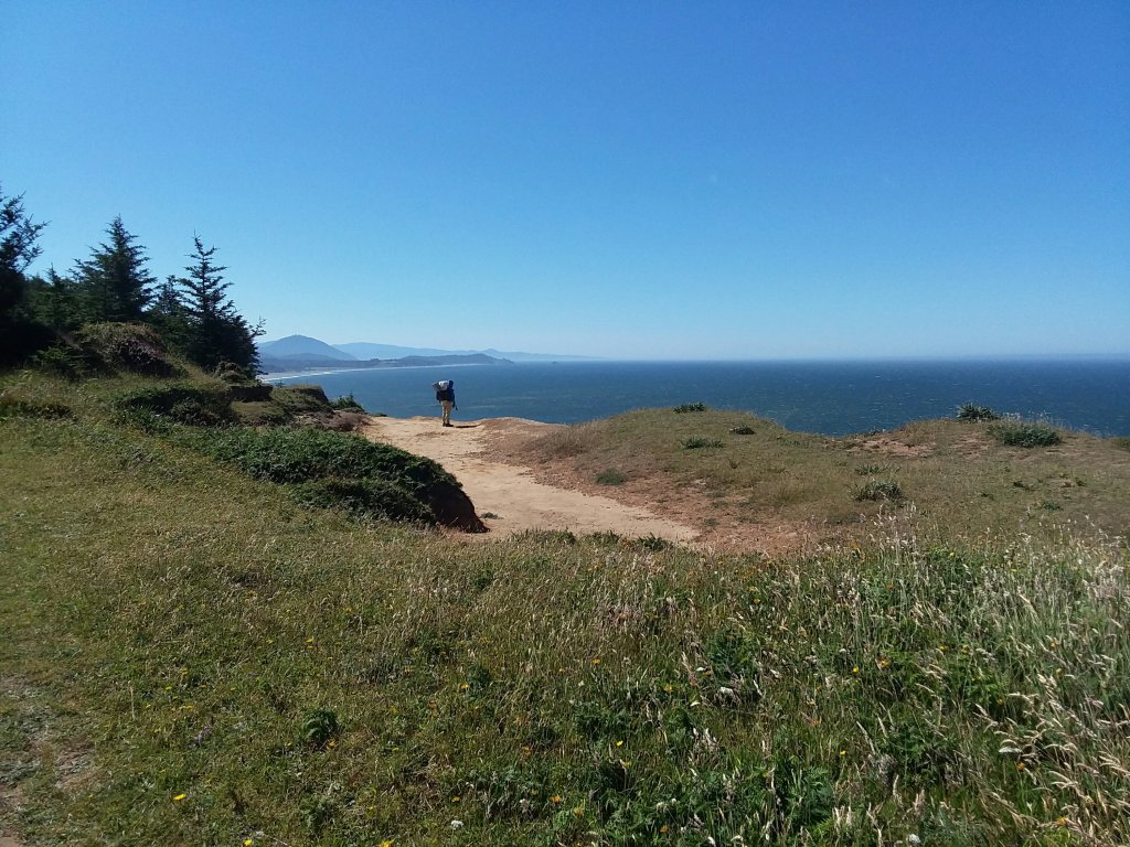
We hiked an awesome ridgetop trail with jaw dropping views. It was probably my favorite mile of the whole trip.
We camped at the Cape Blanco hiker biker site. And because we were on trail at around 5:30AM, we were done hiking by eleven. Crazy. I had time to take a shower, take a nap, and we met more cool bikers.
Early to bed, because the next day was going to repeat a lot of what this day had thrown at us.
July 12, Day 25
14.9 miles
Humbug Mountain State Park Hiker Biker Camp
Seagull Vs. Snake
We again got up at 5am to tackle one last river crossing. We were on-trail at 5:30 in a glorious orange-pink dawn.
The Elk River was, I think, the toughest crossing we’ve had. It was only knee-deep but the current was wild.
We crossed safely and flopped onto the sand to enjoy the pure joy of having completed the tough part of the day before most people even wake up. Seals and seagulls loved the Elk River. One seagull was trying very hard to swallow an entire snake, and failing miserably. The seagull could not fly because the snake was sticking out of its mouth.
On our way to Port Orford, we encountered more kitty-litter sand. Nothing grinds the muscles quite like it. We took an extended break when we reached town and hung out at Battle Rock. From there, the beach was good sand again.
We took an extended break in town before getting back on the beach. With views like this, it was hard to leave, but distant Humbug Mountain kept calling us.
It was really a varied day. After hiking on the beach, we climbed through woods, ran into our trail angel Jeff from a couple days ago (what are the chances?!), and did a quick jaunt on Highway 101. In small doses, with good sightlines, it’s not so bad.
Today we only needed to be on it a short distance, to an abandoned piece of Old 101. It was scorching hot but I still enjoyed it. We arrived at Humbug Mountain for the night, which had nice semi-private camping for hikers and bikers, but no charging station or camaraderie.
Julie used her free time to ascend Humbug Mountain. I chose to read a book. I liked our little campsite, tucked into the woods away from others, but not having a central space to meet other hikers and bikers was a bit sad.
July 13, Day 26
2.9 miles
Honey Bear Campground
Honey Bear Day
It was one of those days when we had to remember to look behind us. Humbug Mountain grew smaller and smaller.
This was another day when we did not hike many miles, but we covered a lot of ground. From Humbug Mountain there is a long stretch of Highway 101 that the guide recommends skipping. Luckily, there is a bus stop near the state park, so we called and scheduled a pickup. They don’t get enough traffic to stop there unless you let them know you’ll be waiting. We got dropped off where safe beach began, and as penance for skipping the long roadwalk, we took extra care to enjoy the part of the trail we did hike.
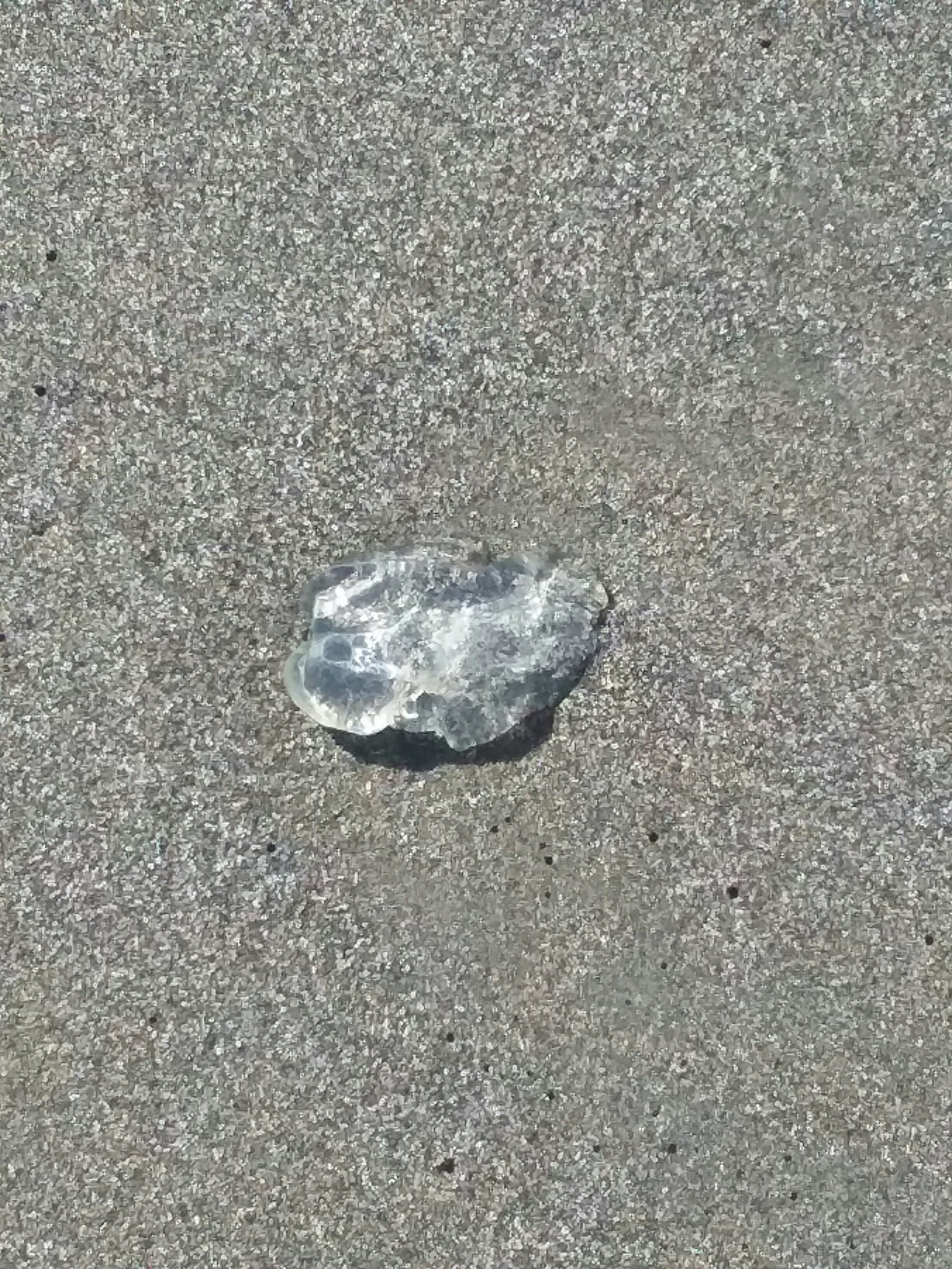
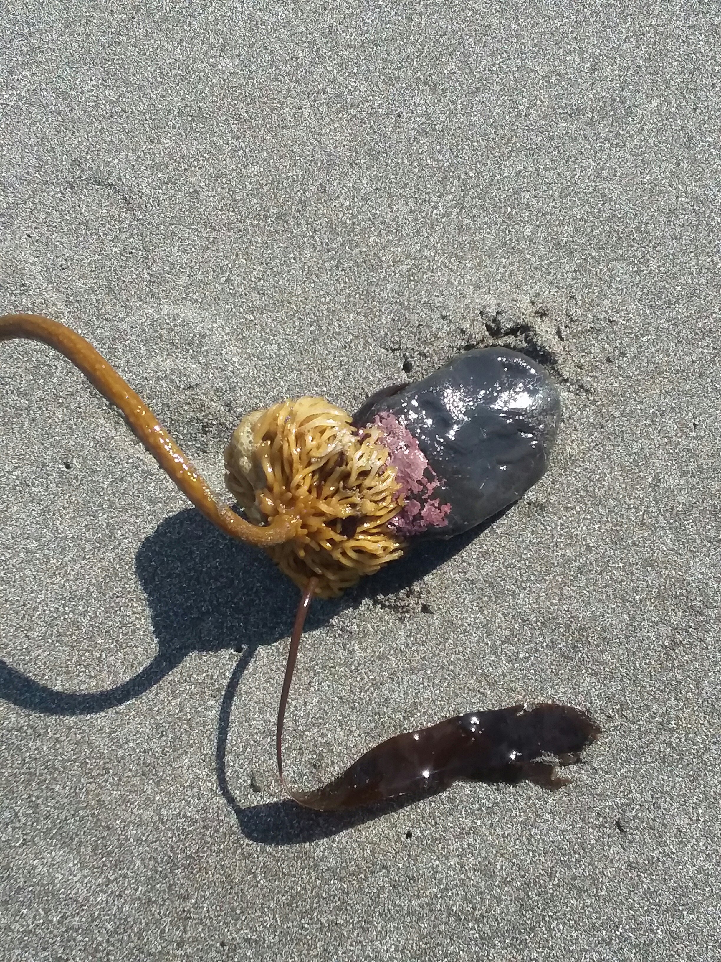
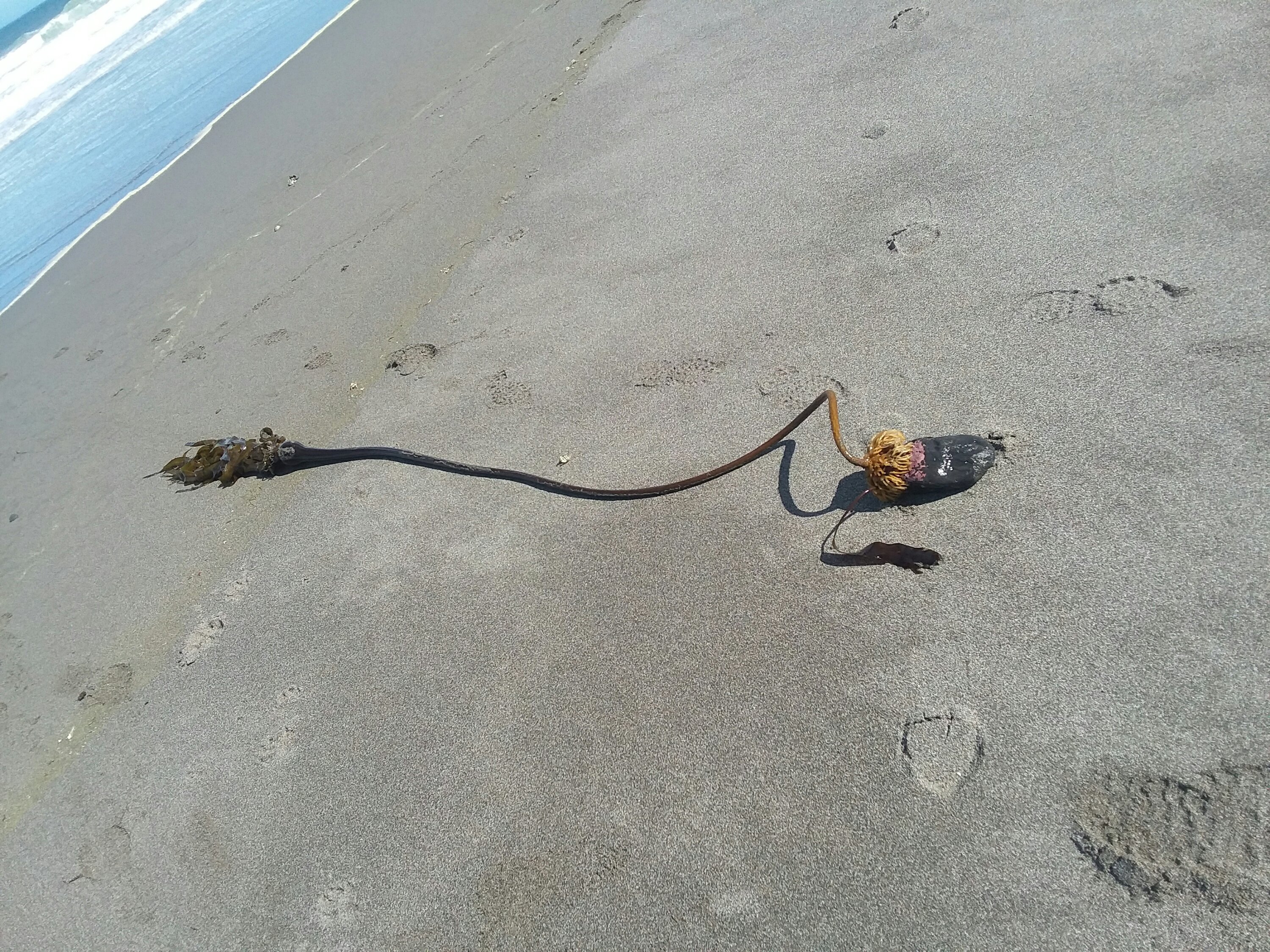
And we excelled at that. The beach provided pure joy today. We saw lots of cool stuff. This was jelly.

I don’t know what this is but it would win in a fight. We saw lots of these.
We lounged on sand and called our friends and family. We watched a refueling plane do maneuvers overhead. We watched people walk the beach with their dogs. We drew in the sand. We looked at shells. It was a rare moment when we had time and energy to truly soak up being on the beach.
We camped that night at Honey Bear Resort due to a lack of good and legal camping options. It was a charming, if frigid, field to camp in. Our site was next to a little trail. I’m always amazed by how dark the woods are here!
July 14, Day 27
15 miles
Gold Beach, Motel 101
Variety Pack Day
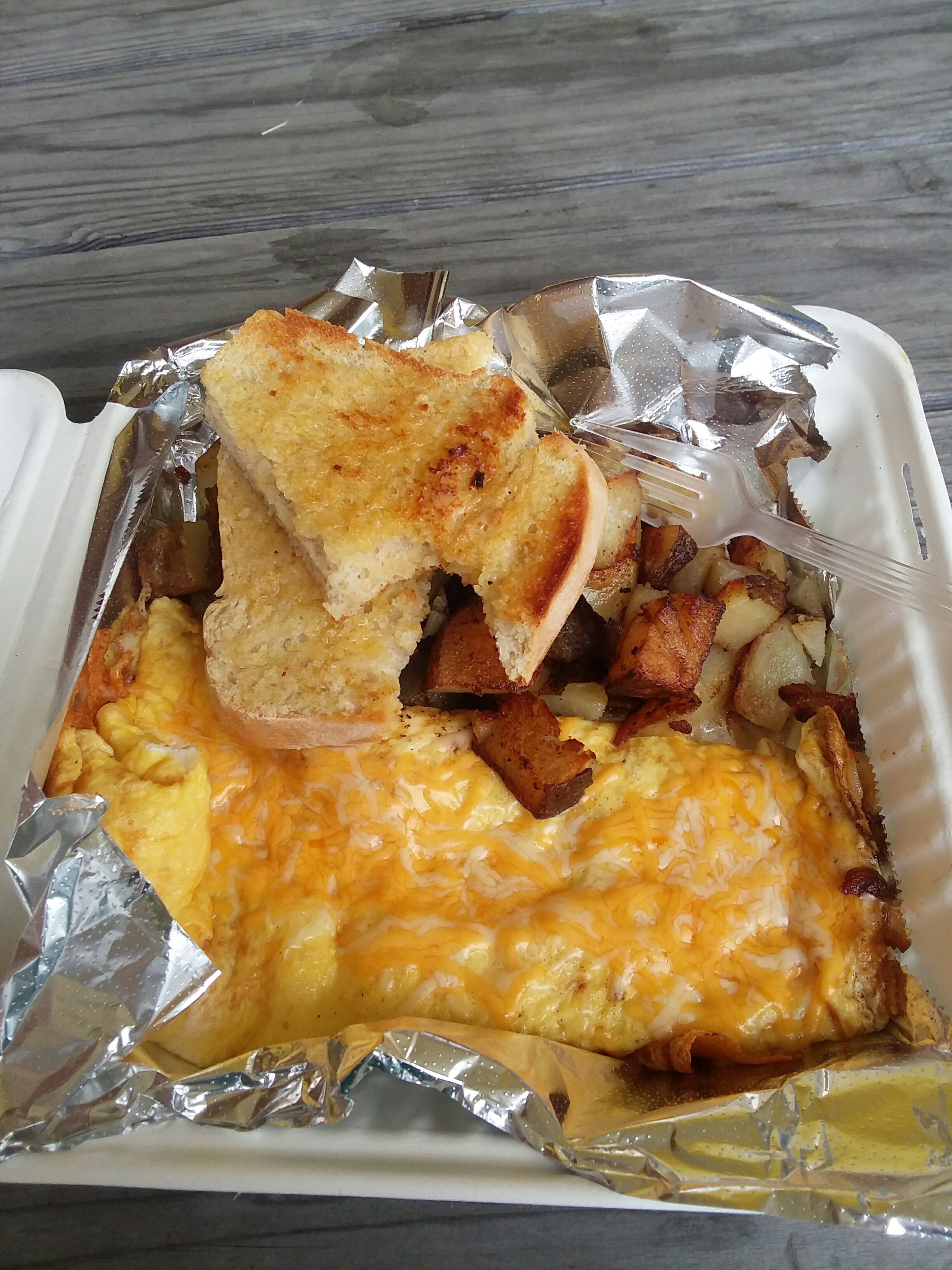
I awoke to hear elk walking around my tent, but I’d had trouble falling asleep, so I was too tired to care. Julie got to see them as the day dawned. I was still very much asleep. We packed and began our day with a trip to Nesika, where Julie somehow talked the local short-order grill guy into making us burgers for breakfast. SCORE. We met our favorite bus driver Teri as she dropped someone off. It was fun to see Teri again!
The trail from Honey Bear Campground to Gold Beach was incredibly diverse– some beach time, some time on Old Highway 101 (which is small and enjoyable; not at all like modern-day Highway 101), some time on singletrack, and a meander through town. Our first view came at Otter Point.
Something I will miss about Oregon beaches is the way the sand breathes when it is warm outside and the sand is wet. Waves of fog rolled across our path.
We also loved seeing all the professional and recreational boaters as we neared Gold Beach. We crossed the Rogue River on the bridge you can barely see in the photo below. We supplied and checked into our motel.
July 15, Day 28
0.0 miles
Motel 101, Gold Beach
Zero Four
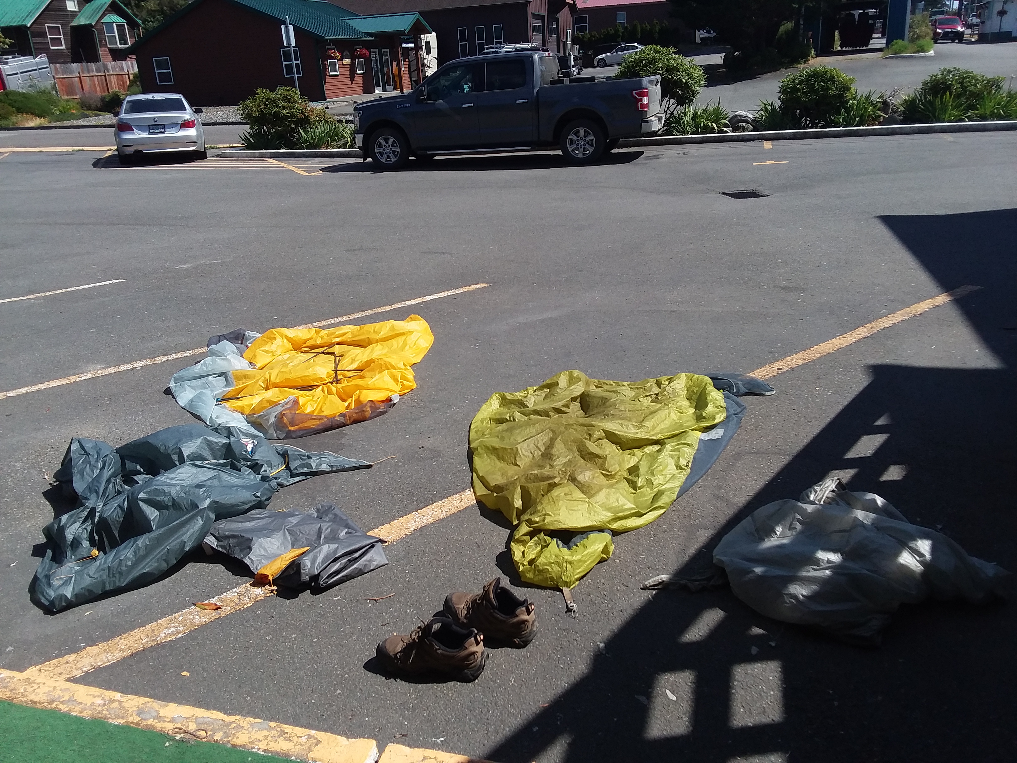
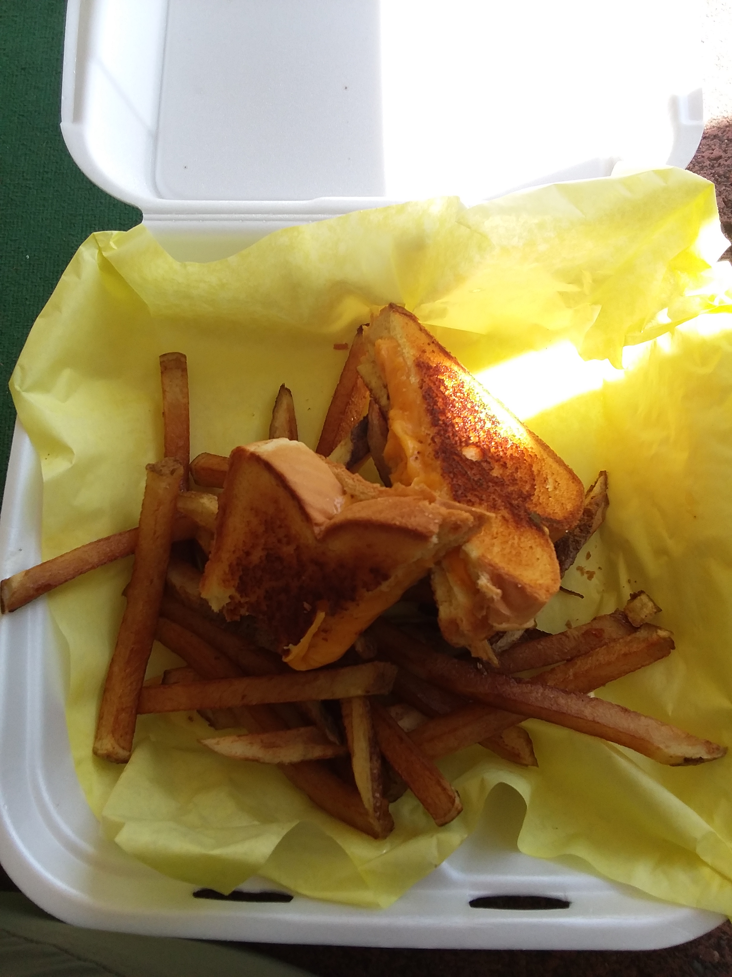
In Gold Beach we took a zero day. We dried everything out, as the field at Honey Bear had been very wet, and I got a grilled cheese. What a stellar day off.
July 16, Day 29
21.6 miles
Definitely not Secret Beach
The Really Long But Really Good Day
In the morning we awoke knowing it would be a long and tough day. We left before 7AM and had a decent beach walk. That wasn’t what we were afraid of.
We had heard horror stories about Cape Sebastian and how terrible it was. And it loomed in front of us, pointy and scary-looking. But, honestly, both Julie and I enjoyed it. The ascent from the beach was pretty clear and it wasn’t too bad. We were lucky to have Julie on the Gaia app, which helped, and we had some words of wisdom from those who came before.
The overgrown trail didn’t bother me as much as an unmarked intersection or two (so easily fixable!). And of course, we saw The Mole Hole, which makes no sense and I like it that way.

To be honest, Cape Sebastian is one of my favorite capes. On top, Julie made friends with a hippie who believed that springwater is magic and has medicinal properties. I can’t really disagree. The only part of Sebastian I objected to was a butt-slide down rock for the final descent. The rope wasn’t super helpful, and it was steeper than it looks.
We walked many miles, avoided the Pistol River as suggested in the guidebook by bopping onto Highway 101 for awhile, and soon reached the Samuel Boardman Corridor.
The Samuel Boardman Corridor is a great idea, executed kind of poorly, for hikers at least. It is a gorgeous, scenic area with unique beaches, lots of access from Highway 101, and many scenic pull-outs for drivers. The OCT is comprised of many small trails linked together and it is jaw-droppingly beautiful.
So what’s the problem? Well, there is nowhere to legally camp anywhere in the Boardman corridor. There is not even somewhere you can go for a paid private camping opportunity. Also: there is no potable water. Nothing at all between Gold Beach and Brookings. And given the dire warnings about seaside water quality, it’s not like a normal trail where you just find a creek and fill up. (I did have to – I think just the 2nd time of the entire trip – but I really didn’t want to.) A third challenge is that there is relentless elevation change for much of the OCT in the Boardman corridor. And while elevation change is fun and leads to scenic opportunities, when there’s no water or place to camp, the elevation can feel like a hindrance instead of something to enjoy.
Due to the complete lack of legal places to camp, we didn’t know where we would end up, but it would be far, far away. We stopped at Arch Rock for supper and then we just kept on going.
So we spent some significant down time at one of the few places not plastered with No Camping signs. It’s a secret.
July 17, Day 30
15.6 miles
Harris Beach State Park Hiker Biker Camp
The WTF Was That? Day
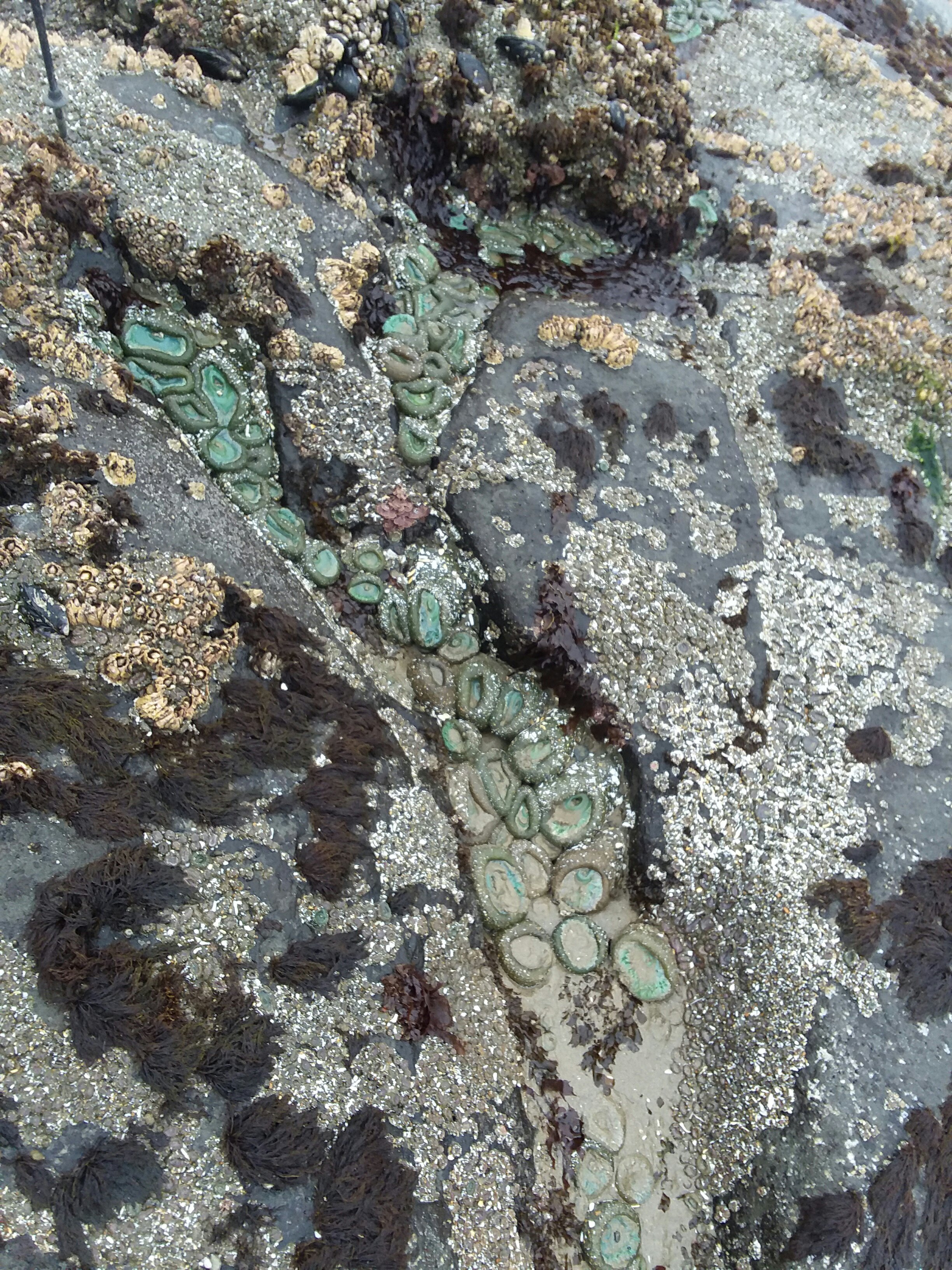
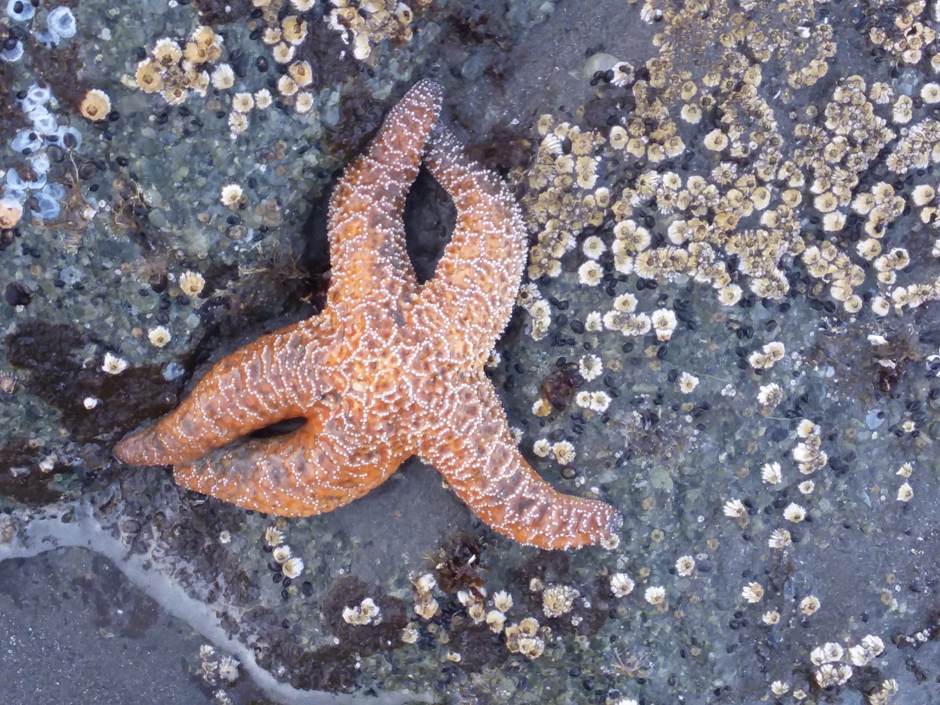
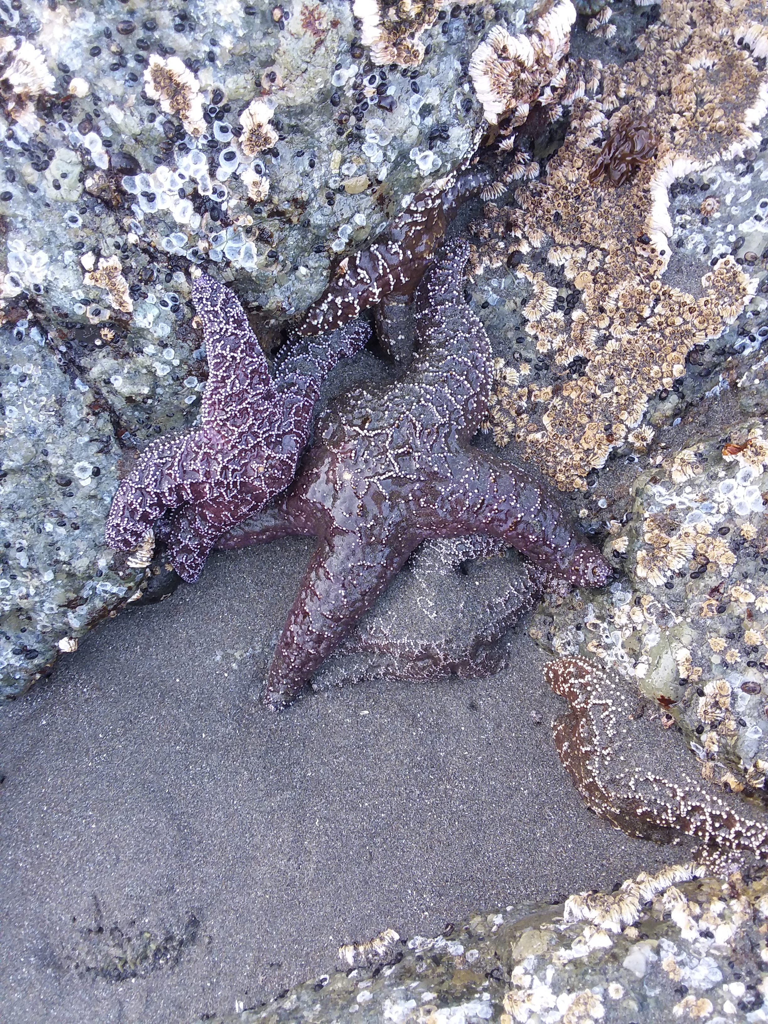
We had a beautiful morning along the coast, most gorgeously at China Beach, which we hit at low tide so we could see the tide pools filled with starfish. Because we had gone so far the day before (over 20 miles, not that I was counting, except yes I was counting), we thought this day was going to be comparatively super easy. After all, according to our guidebook, we were only about 14 miles from our next (and legal!) campsite.
Along the way, we crossed the tallest bridge in Oregon – Thomas Creek Bridge. It was one of the few flat sections of the trail – the Boardman Corridor continued to maximize how much trail it could squeeze in and how much elevation gain it could muster. All that would be fine, except I was still tired from the day before. This was the first morning I woke up when I was still tired, maybe even more tired, than when I had gone to bed. In retrospect, I think it was dehydration as much as anything.
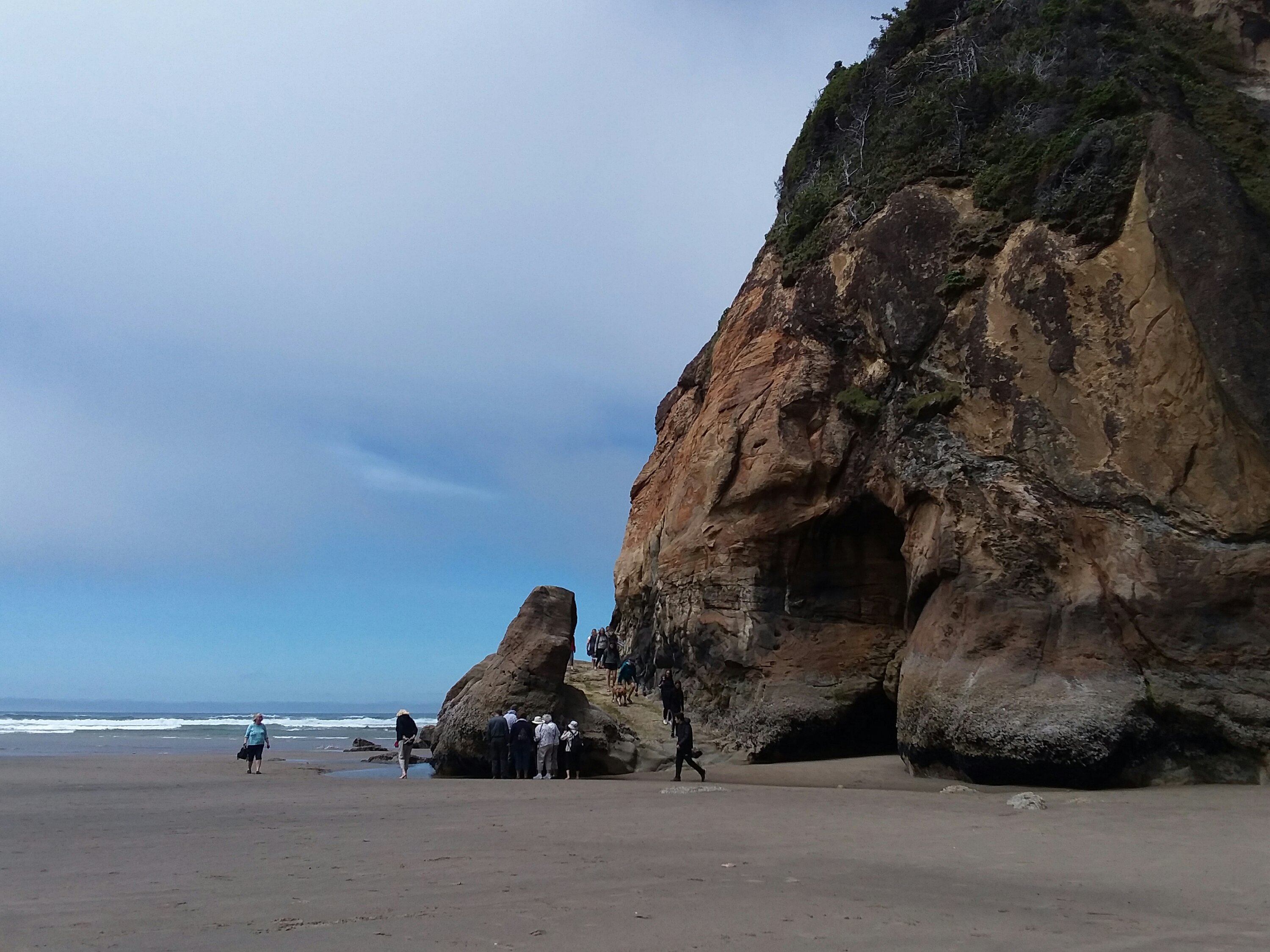
Then things kinda went downhill for me. Literally. We hiked down to Whaleshead Beach, which was beautiful but short. The guidebook suggested it may be a bit of a rock scramble to get up from the south end of the beach, and a blog from a year ago showed steps carved into the muddy hillside. Moderately sketchy, but no big deal. None of this was still the case.
The way up was eroded, completely overgrown, and if you slip, that’s just it, that’s the end, there is not even a shrub to hang onto. If it were raining, I cannot imagine how dangerous it would be. For me it was dry and it was still absolutely stupid.
I have no pictures because I totally lost it. I was so angry at the trail, angry at the Boardman Corridor, angry at anyone who thought that route was acceptable. My hands were wet with sweat, and thank goodness that Julie is not afraid of heights. She came and got my pack for me, so I could focus on just getting up to where I needed to be. She had been a great hiking buddy until this point, but at this moment she earned a halo, angel wings, and a white glowing gown.
Julie and I later started referring to this area as “Whatever the h- that was.” With other words often substituted. It was out of character for the OCT – a trail that I otherwise would rank as easy to only moderately challenging (mud + climbs).
The day got better, but I’ll admit, I was happy it was the last full day. I hated that my last experiences on the trail had to be filled with anger and disappointment. I think the hardest part was not even disappointment in the trail, but disappointment that I’d come all this way and gone over so many challenges, and then on the last full day, I get to a challenge that my body just shut down on. What a demoralizing way to wrap up a fantastic trail.
Luckily that wasn’t quite the end. Cape Ferrulo still awaited us, and I think it was among the cooler capes we climbed. It was nearly treeless, and with sea fog blowing in and out, it was pretty magical to walk across. 10/10, would hike again. It felt like Scotland or somewhere like that. Having never been, I guess I should say it felt like my fictionalized version of Scotland.
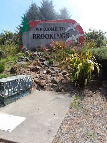
Some people consider the end of the Boardman Corridor to be the end of the Oregon Coast Trail. We got to the end of the Boardman Corridor, but we were not done. We roadwalked into Brookings and set up at Harris Beach State Park at a very nice hiker biker campsite. For the first time since June, I knew where I would sleep for three nights in a row.
July 18, Day 31
19.3 miles
Harris Beach State Park Hiker Biker Camp
The Final Day
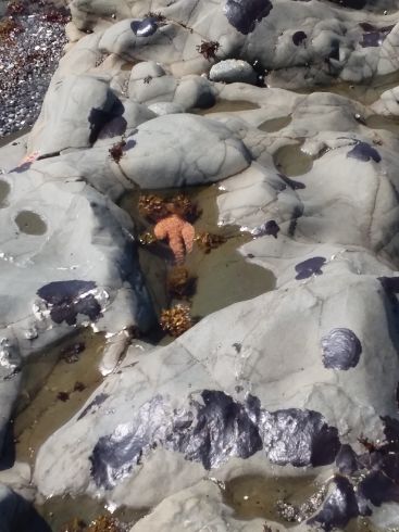
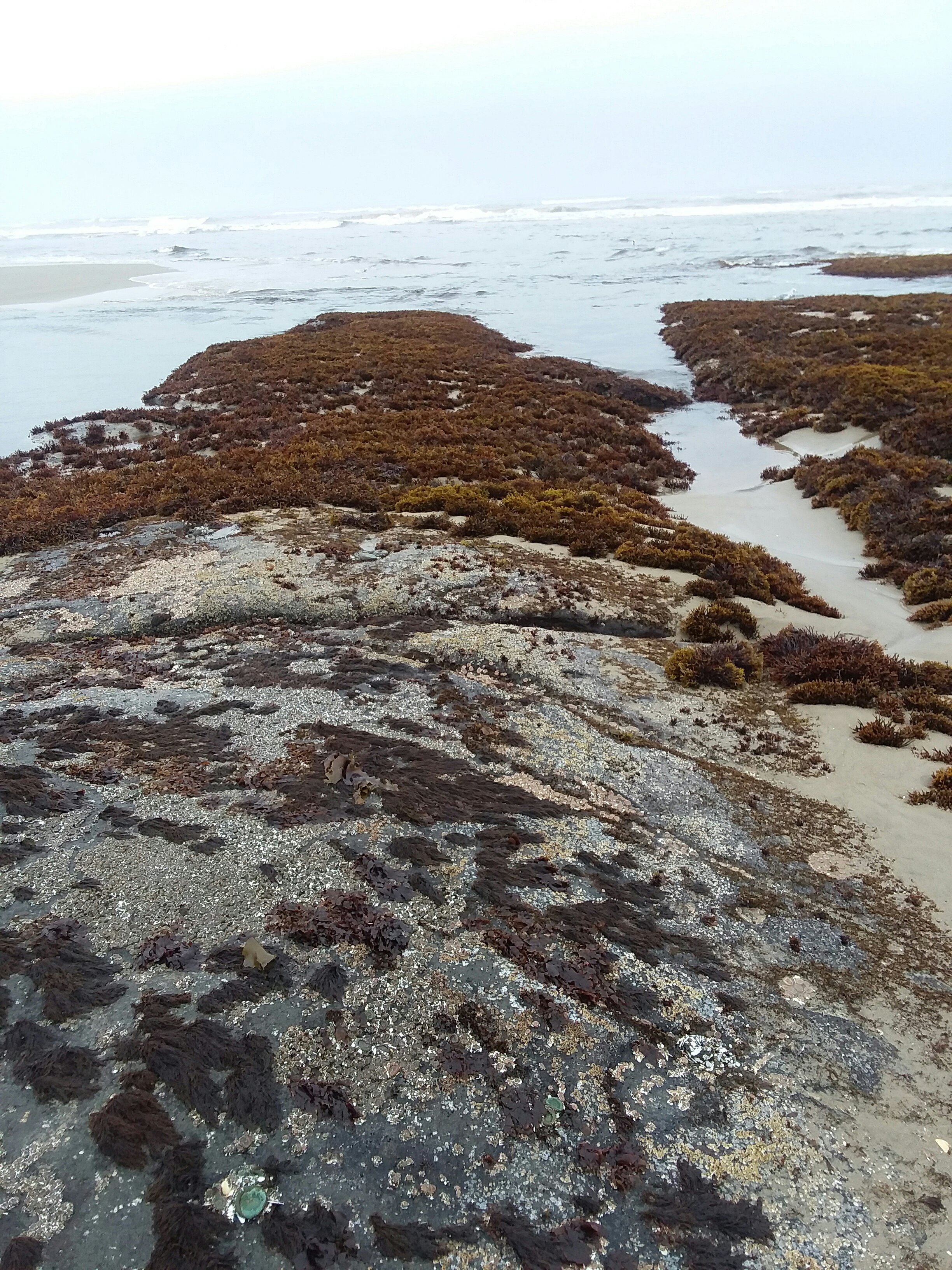
Our guidebook claimed it was only 8 miles to the border, but it was well over 9. Luckily, we left all our heavy stuff at the campground so we just had our daypacks. Much of the day was roadwalk, but we got a nice beach section in near McVey Rock. The beach was crumbly sand, but the rocks held starfish and it was a fitting final beach.
We forded the Winchuck River and made friends with the nicest people at the visitor center. We took a break and finally meandered down to the border. We made it.
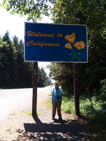
Reaching California was bittersweet, as any end of a trail is. It helped to not be rushing back into civilization immediately — we had to walk over 9 miles back to the campground.
July 19-20 Addendum
The following day we did chores and rested, and the day after that began our bus tour of Oregon — we walked 1.5 miles to the Point Bus from Brookings to Cave Junction. In Cave Junction, for inexplicable new-owner reasons, the bus company makes everyone change to Josephine County Transit. We arrived in Grants Pass one hour after the Greyhound’s scheduled departure, so we had booked a motel room, just half a mile from the bus stop. After doing laundry and later enjoying too much food at The Haul brewpub, we both kind of loved Grants Pass. The next day, our Greyhound left town at 1pm. (Fun fact: different bus stop than Josephine Public Transit!) The bus was on time and we rode up I-5 to Portland. We were less than half a mile from our motel (same place we stayed the night we flew in), and in the morning we enjoyed a small breakfast before taking MAX light rail 40 minutes to the airport. At the airport, I finagled my way onto an earlier flight, saving myself seven hours of people-watching at the airport. Julie and I bid farewell, and I flew to Minneapolis on Delta, where I got onto a Groome shuttle to Hinckley, where I got picked up by my dad (thanks!). Meanwhile, Julie also made it home safely. We were done.
(In case you were wondering why we needed days off, it was to figure out all of those logistics.)
SUPERLATIVES
Category / Julie’s pick / Jo’s pick
Best campsite: Cape Falcon Hiker Biker Camp / Bullards Beach Hiker Biker Camp
Worst campsite: Cape Lookout Hiker Biker Camp / South Beach Hiker Biker Camp
Favorite day: Yellow-blazing around New River and camping at Floras Lake (both)
Favorite town: Langlois / Florence
Worst town: Garibaldi / Seaside
Favorite river crossing: Elk, due to ease / Elk, due to animals nearby
Worst river crossing: Hip-deep crossing in the dunes / Sixes because I lost my buff there
Favorite trail section: Tillamook Head / Cape Blanco to the Hiker Biker Campsite
Favorite beach: Bandon area / Hug Point area
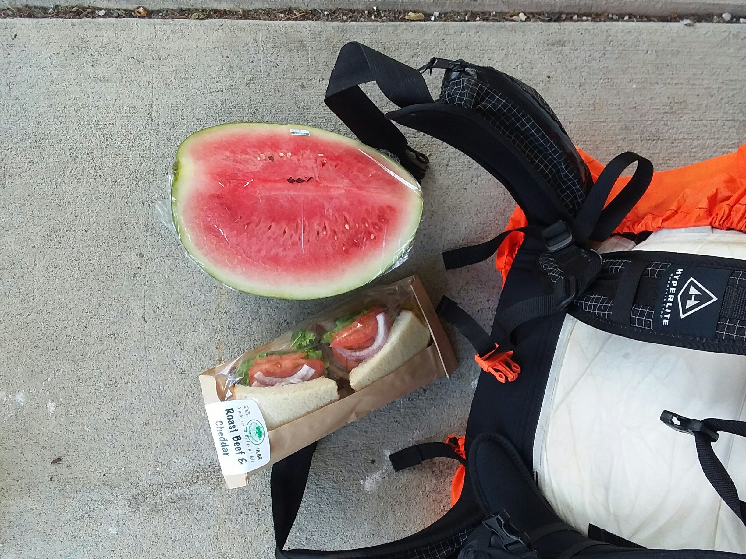
Favorite trail food: Picante chicken ramen / bagged salad
Oddest craving: Cool Ranch Doritos / Sprite
Best beer: Cascade Lakes Pineapple IPA / Buoy, for the memories (lots of debris on beach from a storm destroying their packaging plant – not Buoy’s fault)
Biggest surprise of the trail: Diversity of what we saw / Only taking two boats
Best transit: Anytime we had Teri as a bus driver (both)
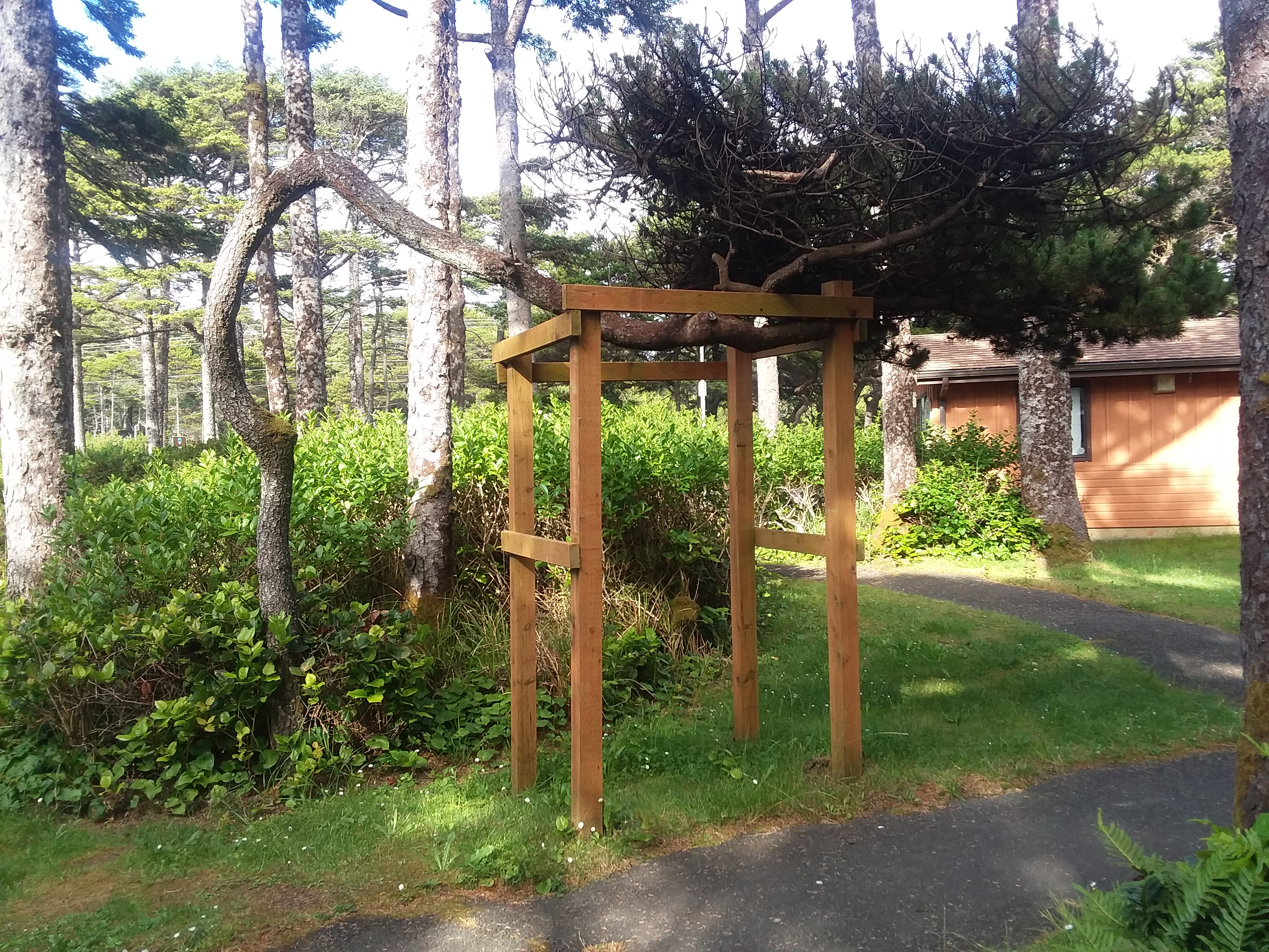
Coolest tree: Monkey puzzle tree / Tillamook Head trees
Best dog: Krueger / Summer
Favorite wildlife encounter: banana slugs / a seagull trying to eat a snake
Oddest person: A person dressed as a queen riding our bus / a guy with purple hair who misidentified poison oak and really wanted to talk about it
Guidebook’s best part: Accuracy of first four legs / Water crossing advice
Guidebook’s worst part: Not fully describing the Sand Rock climb (both)