Looking to jump straight to the how-to? Check out Maine IAT Advice.
I attended a lot of trail events between 2010 and 2014, and at one of them I sat in on a presentation by Dick Anderson, the hiker who came up with the idea of extending the Appalachian Trail farther along the range of the ancient mountains. The International Appalachian Trail is now connected through eastern Canada, with pieces of it in Europe and even into Morocco. One thing Dick said in his talk stuck with me year after year. It went something like this:
“The Maine International AT is like hiking the Appalachian Trail back forty, fifty years ago.”
I’ve read a lot of books about Appalachian Trail history, and one thing that always fascinated me is what the trail was like when it was young, particularly in Maine. For that reason, the dream of hiking the Maine IAT always stayed with me, but logistically it’s a tough one. Although it’s not terribly long (140 miles), I could never do it while I had a stable job. During my “pretirement” time, I made lists of things I wanted to do during this time off. On each list, the Maine IAT made the top three. So in 2023, I went.
Day 0, June 27, Presque Isle, Maine
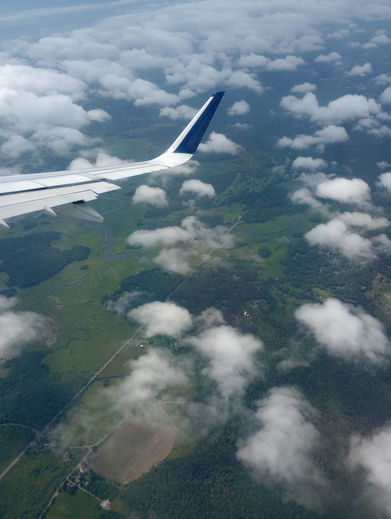
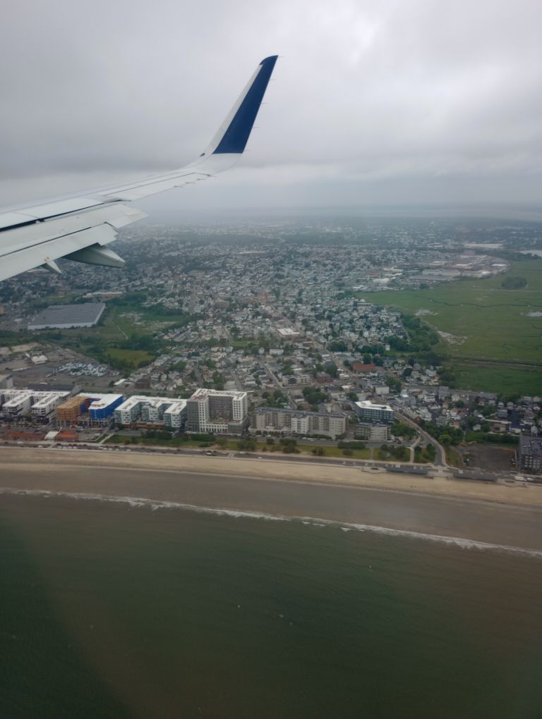
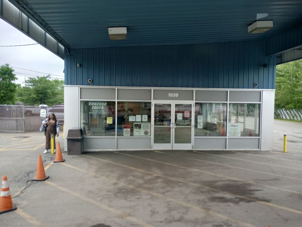
I got up at 1AM having not really slept, got a ride to a shuttle stop (thanks Mom!), took a shuttle to Minneapolis, flew to Boston, took a Concord Coach bus to Portland, then took another to Bangor. From there I transferred to Cyr Lines on their once-daily bus north. My best friend Phil and I once spent many hours at the Bangor bus station – ah, memories.
I arrived in Presque Isle around 9PM where I was elated to meet Elaine, a volunteer with the Maine IAT and local adventure expert, who was helping me out. I was not entirely functional after the insane travel day, but how lucky I felt that all the pieces had fallen into place and that I had a friendly face at the bus stop rather than trying to figure out where to go and how to get anywhere when I was running on no sleep. I fell asleep full of gratitude, completely exhausted.
Day 1, June 28, Fort Fairfield Lean-To
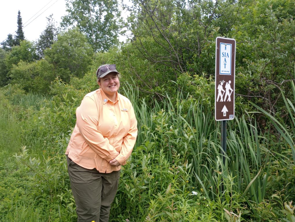

In the morning after breakfast, Elaine and I hiked together to the first shelter. It was so great to have company on the way! It was a very short day of just a few miles along old roads and the border cut. I could have gone farther, but I knew it would take some time to recover from the previous day, and I always prefer to ease into an adventure rather than hit the ground power-walking. Plus, unlike the AT, you cannot camp just anywhere along the IAT, so my choices were a short day or a very, very long day. Short wins, always.
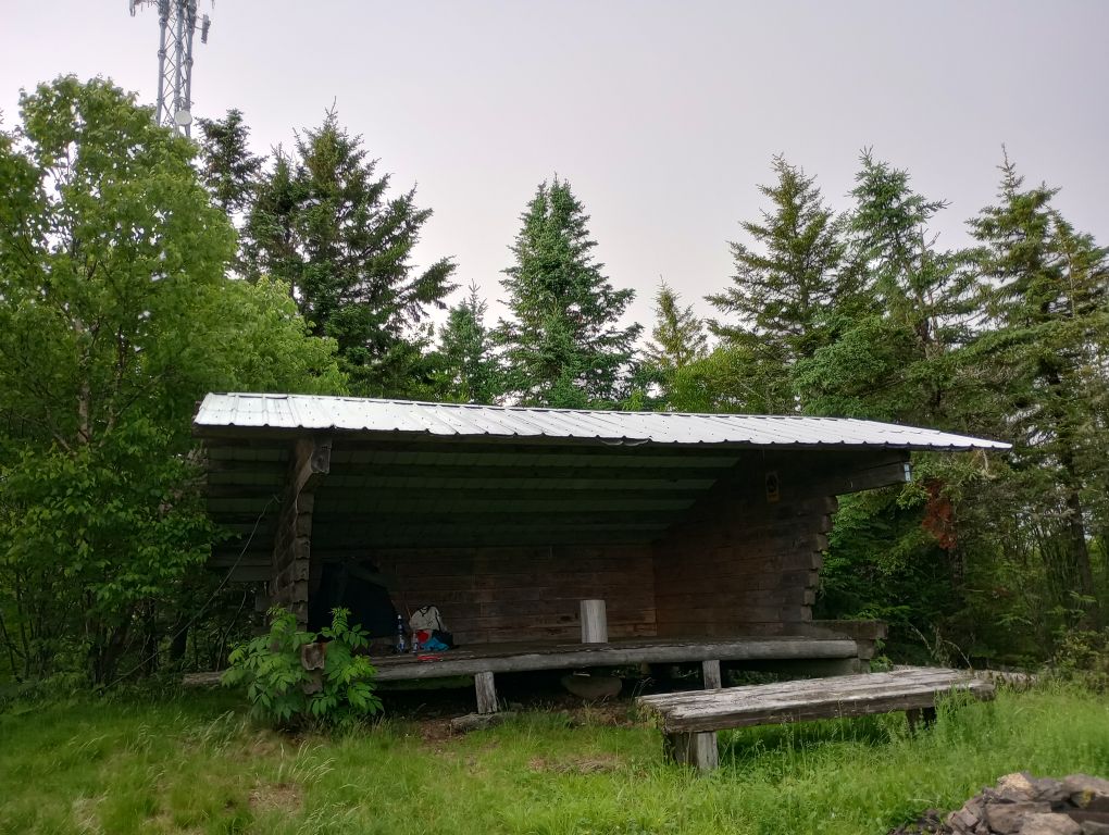
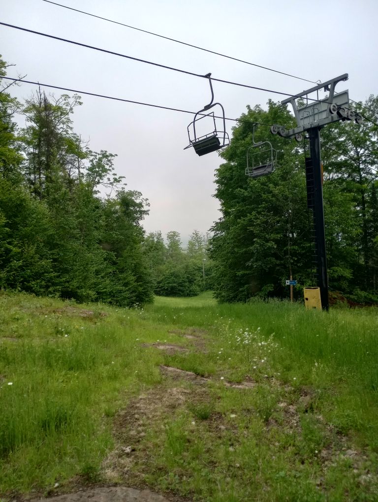
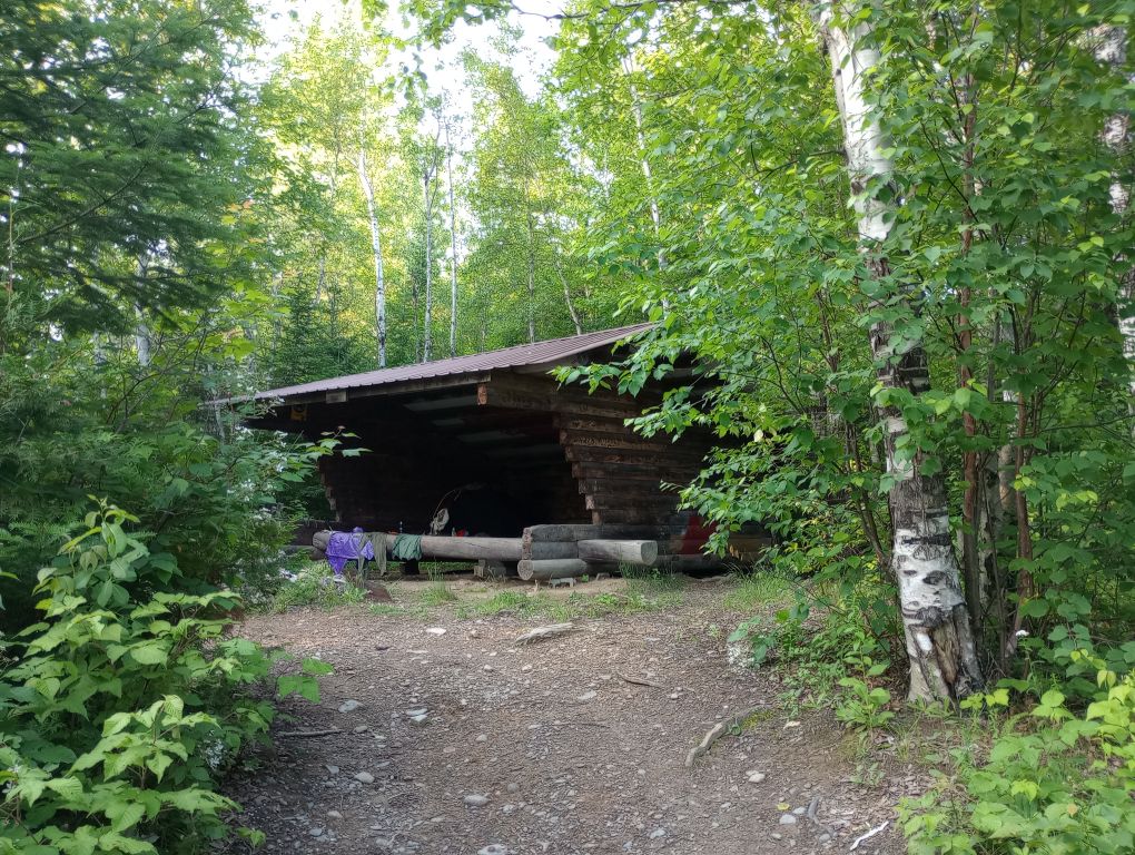
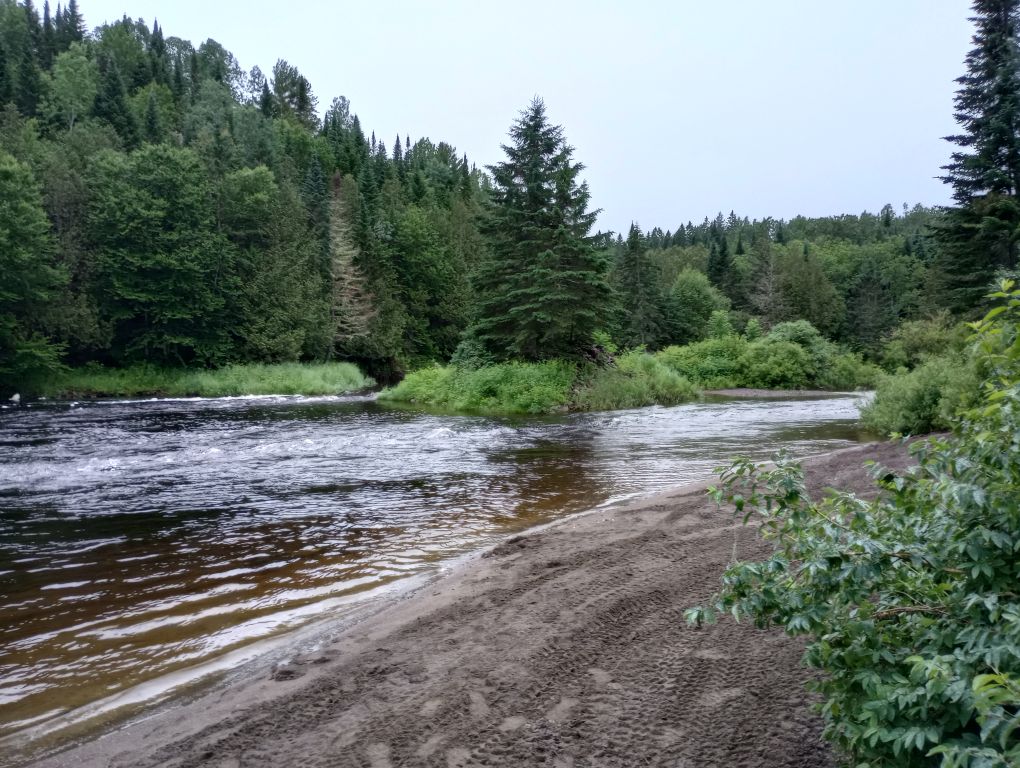
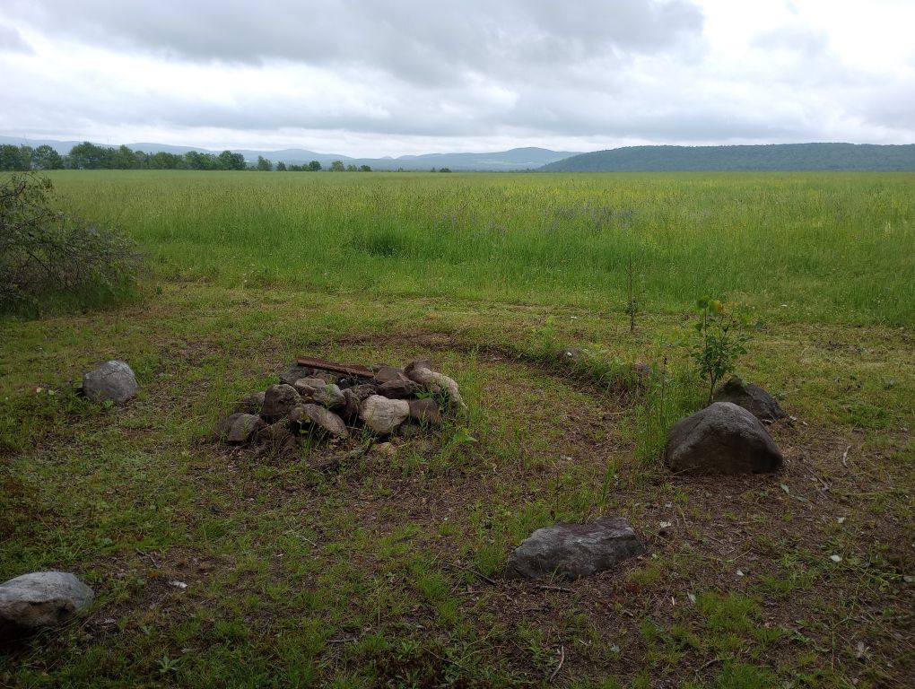
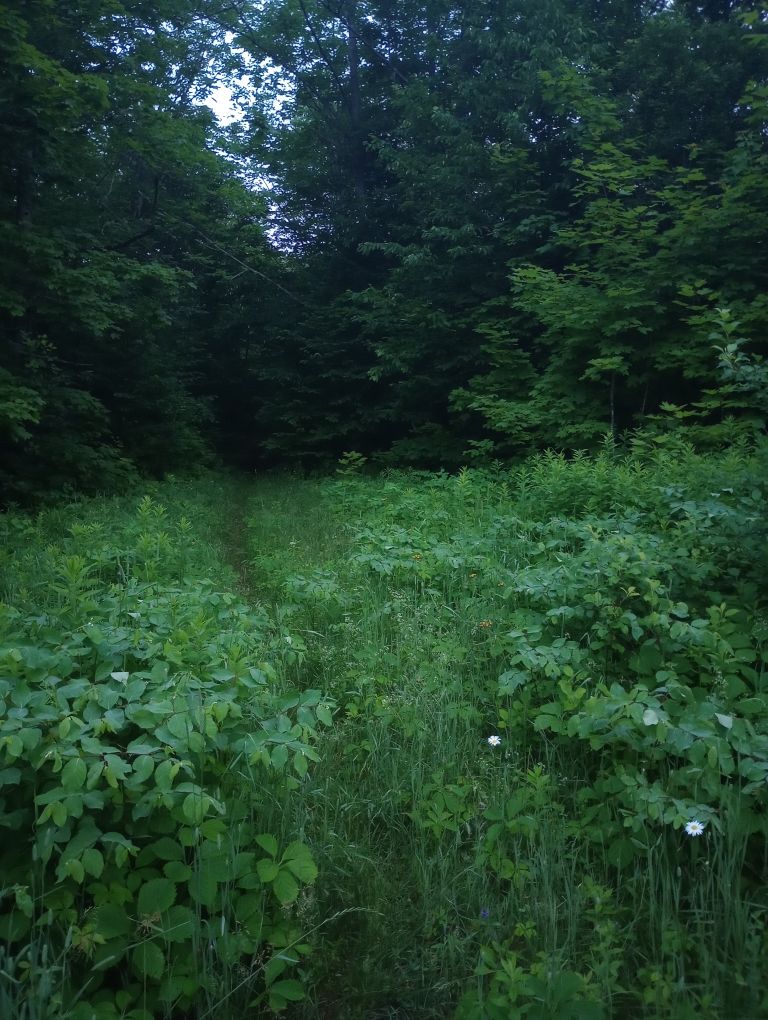
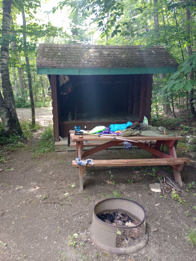
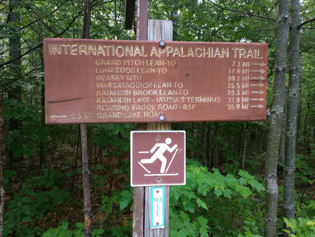
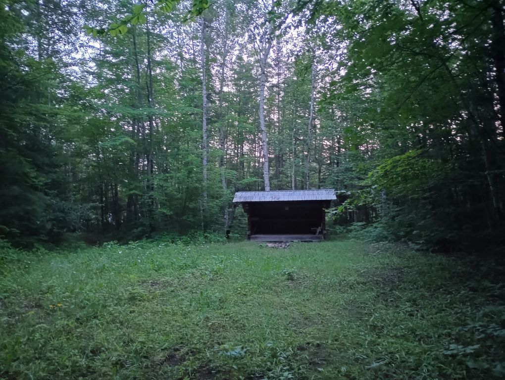
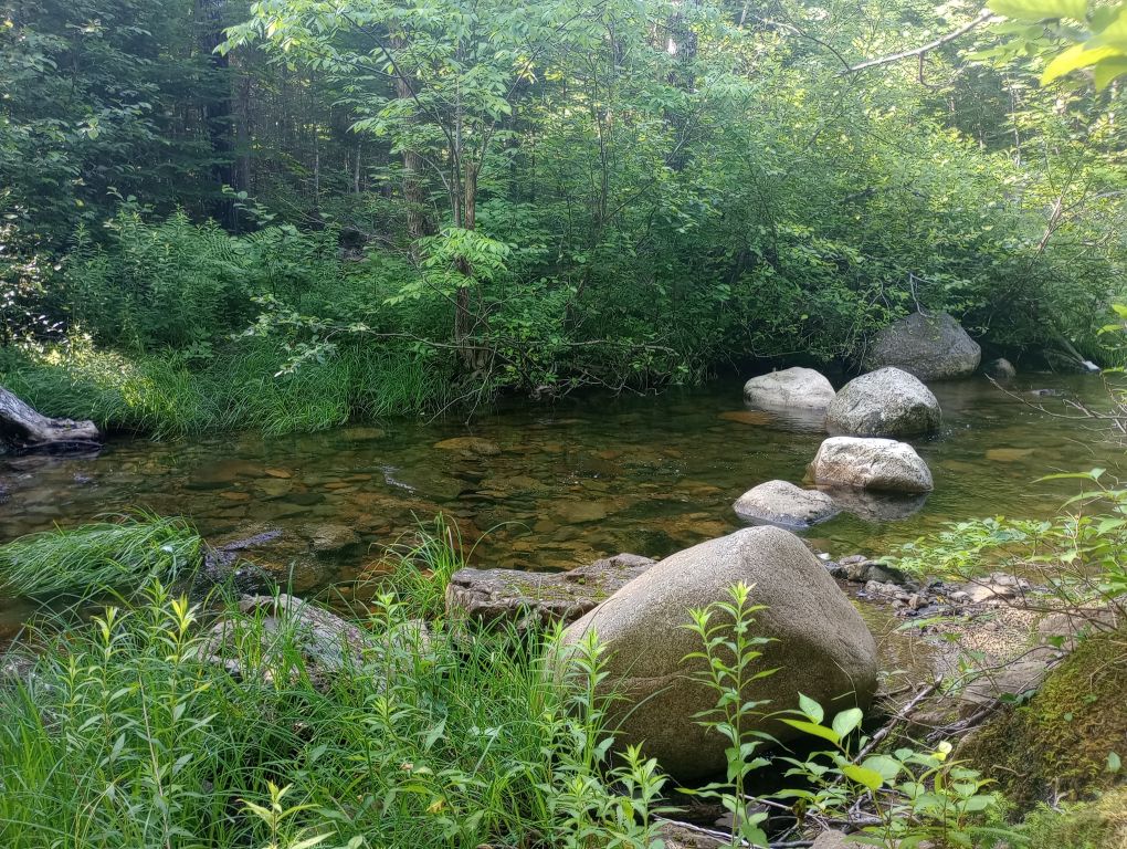
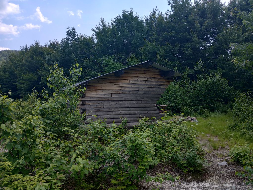
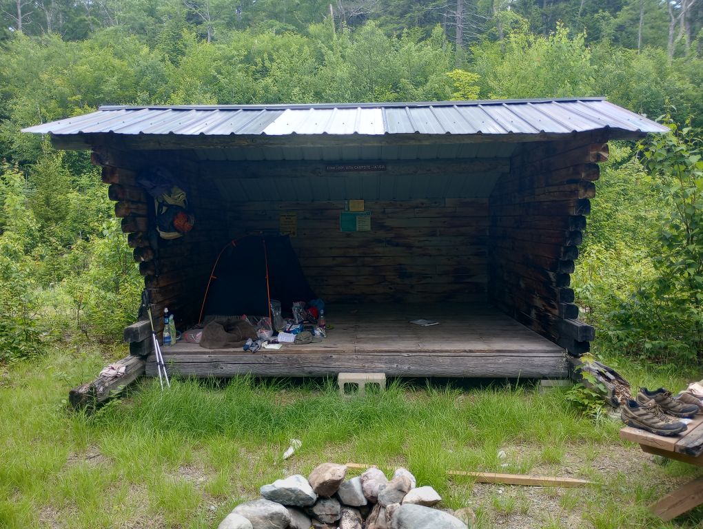
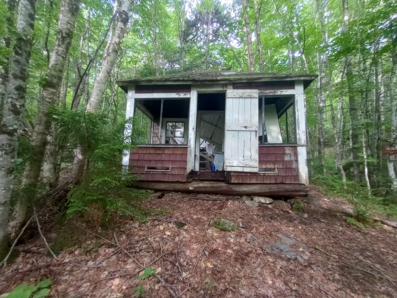
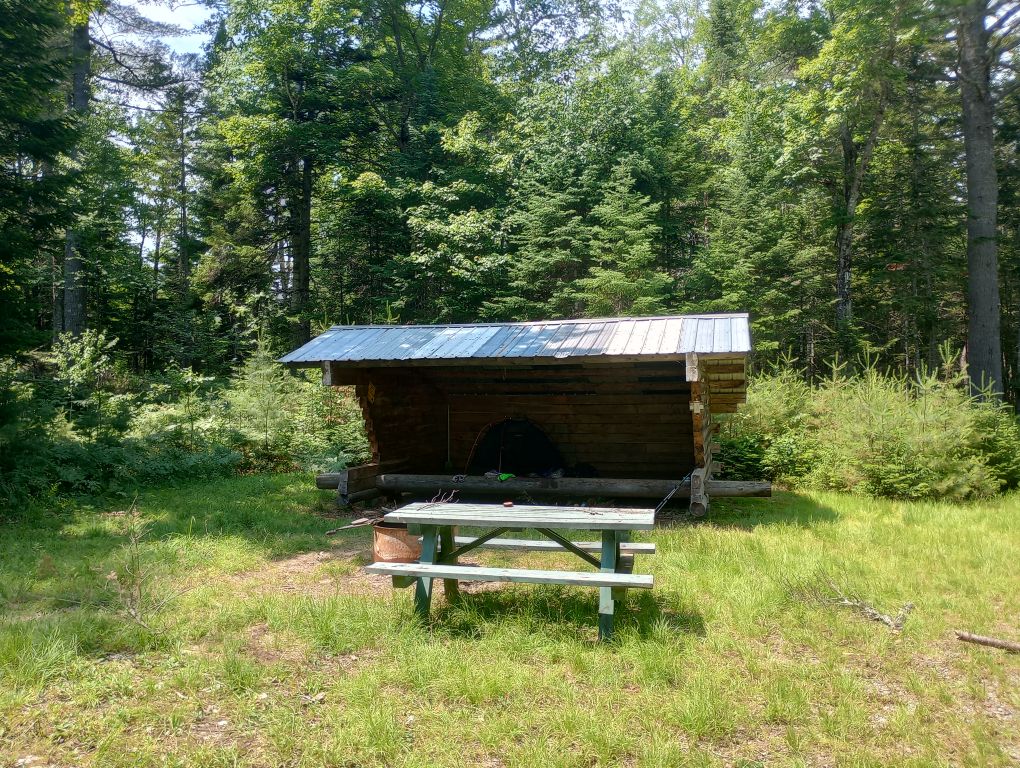
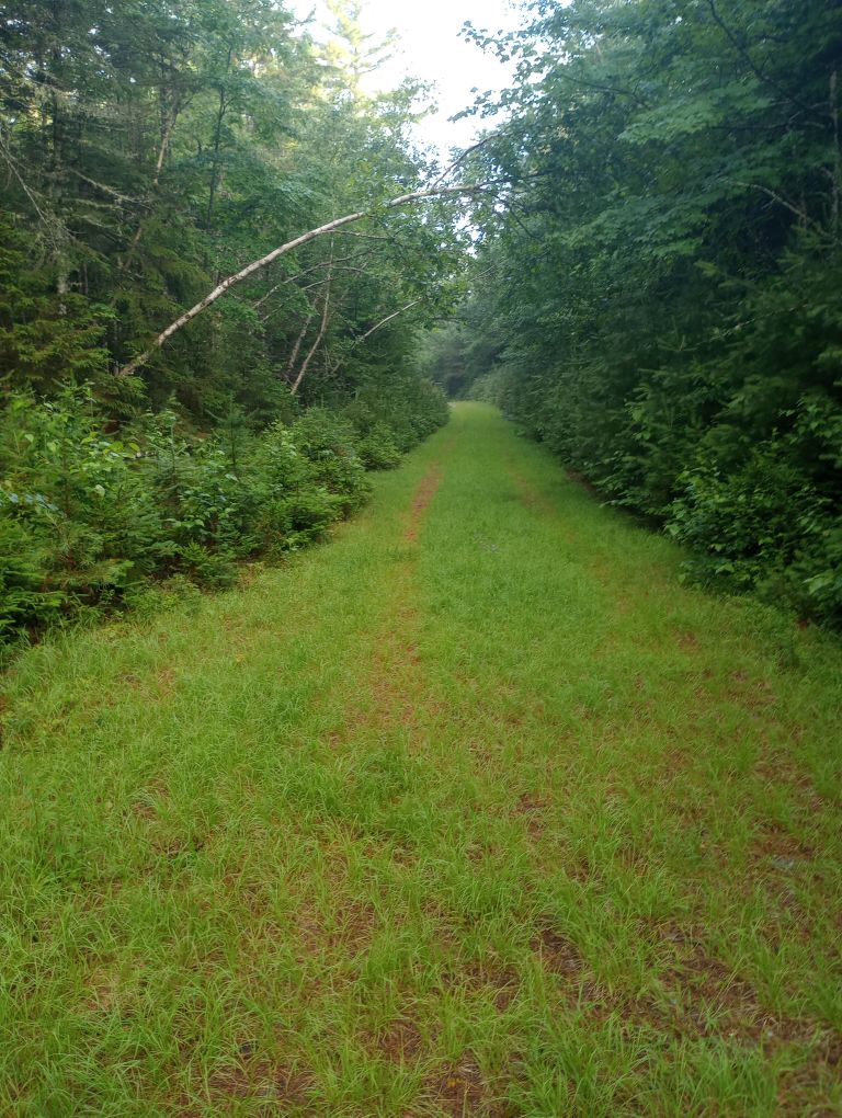
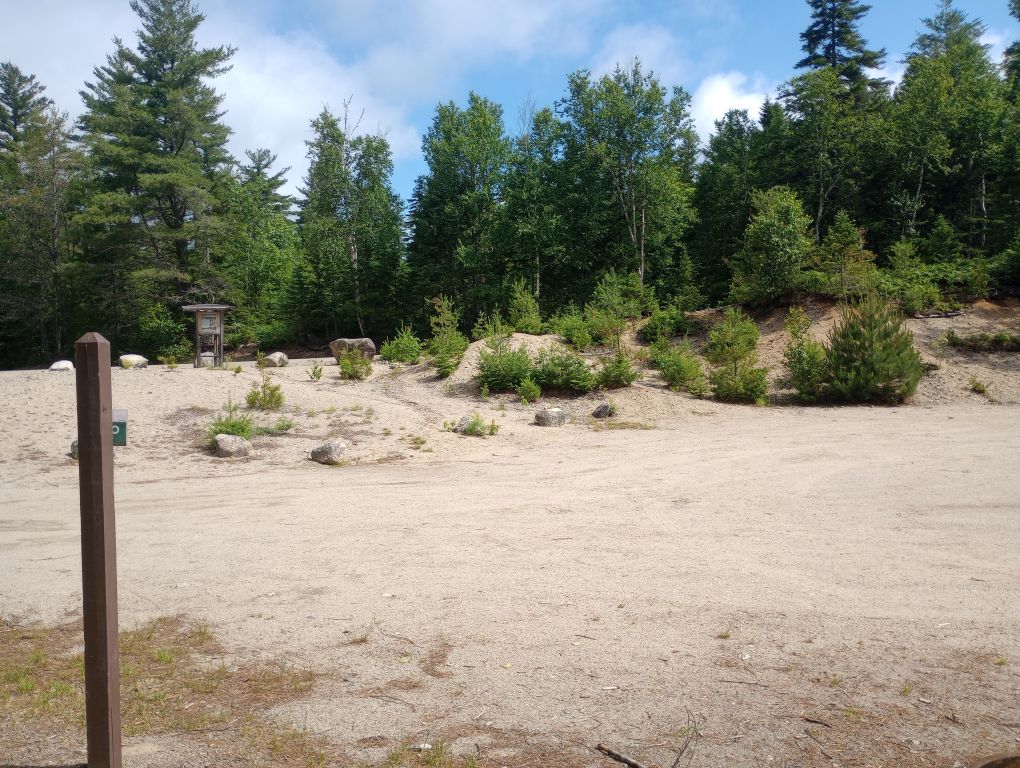
One amazing thing about the Maine IAT is the shelter/lean-to network – both words are used to describe the three-sided shelters, but as far as I can tell there is no discernible difference between a lean-to and a shelter. These shelters became my lifeline in the coming week and are an incredible resource.
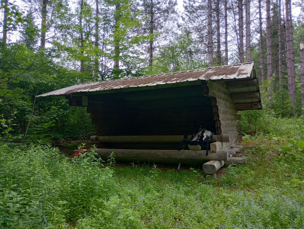
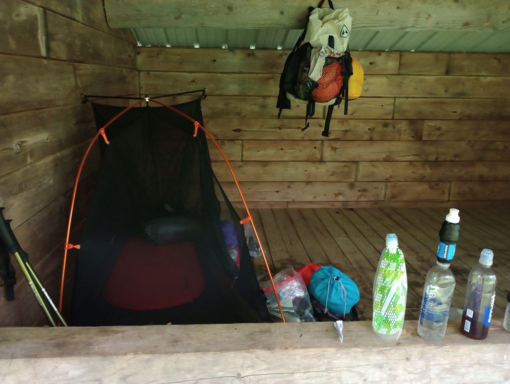
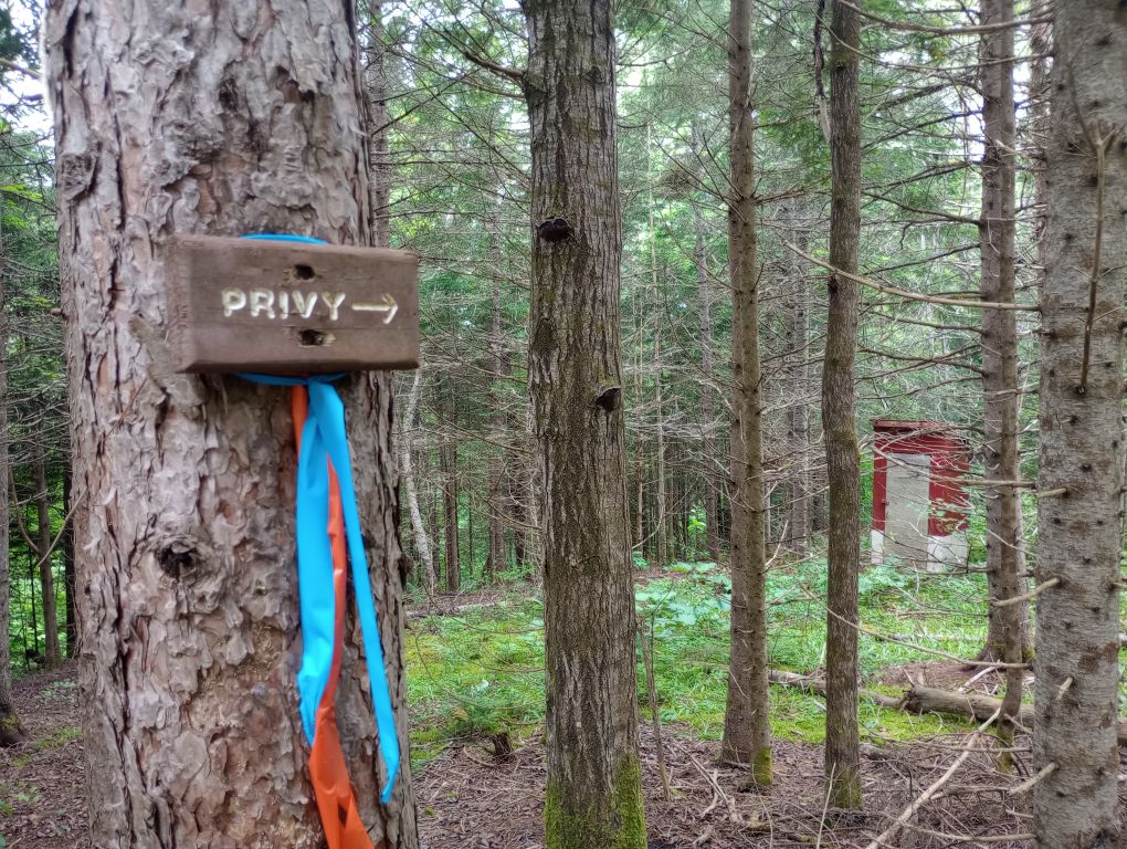
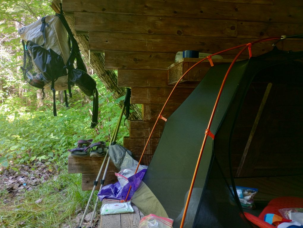
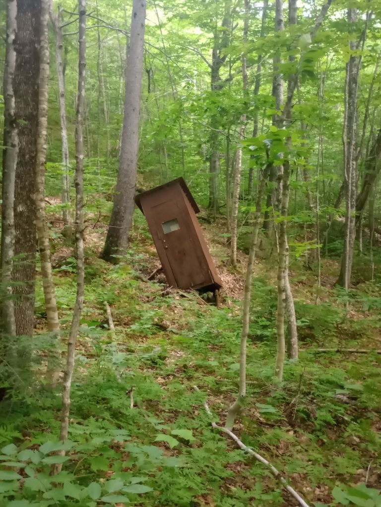
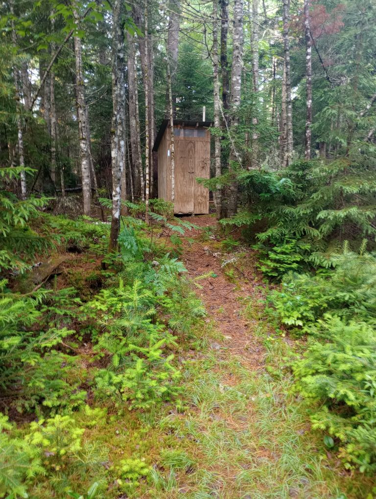
Because the Maine IAT is like the AT was decades ago, I suspected that I could get by with setting up my tent inside to protect me from bugs. This is taboo on the Appalachian Trail, as tents take up a lot of space and shelters on the AT are often filled to capacity. On the IAT, I never shared a shelter once, except with many bugs. At Fort Fairfield they weren’t awful, but it was nice to have a bug-free zone to retreat to. There was a flowing water source nearby and a privy just a short walk from camp.
It was a thoroughly relaxing, wonderful day.
Day 2, June 29, Mars Hill Lean-To
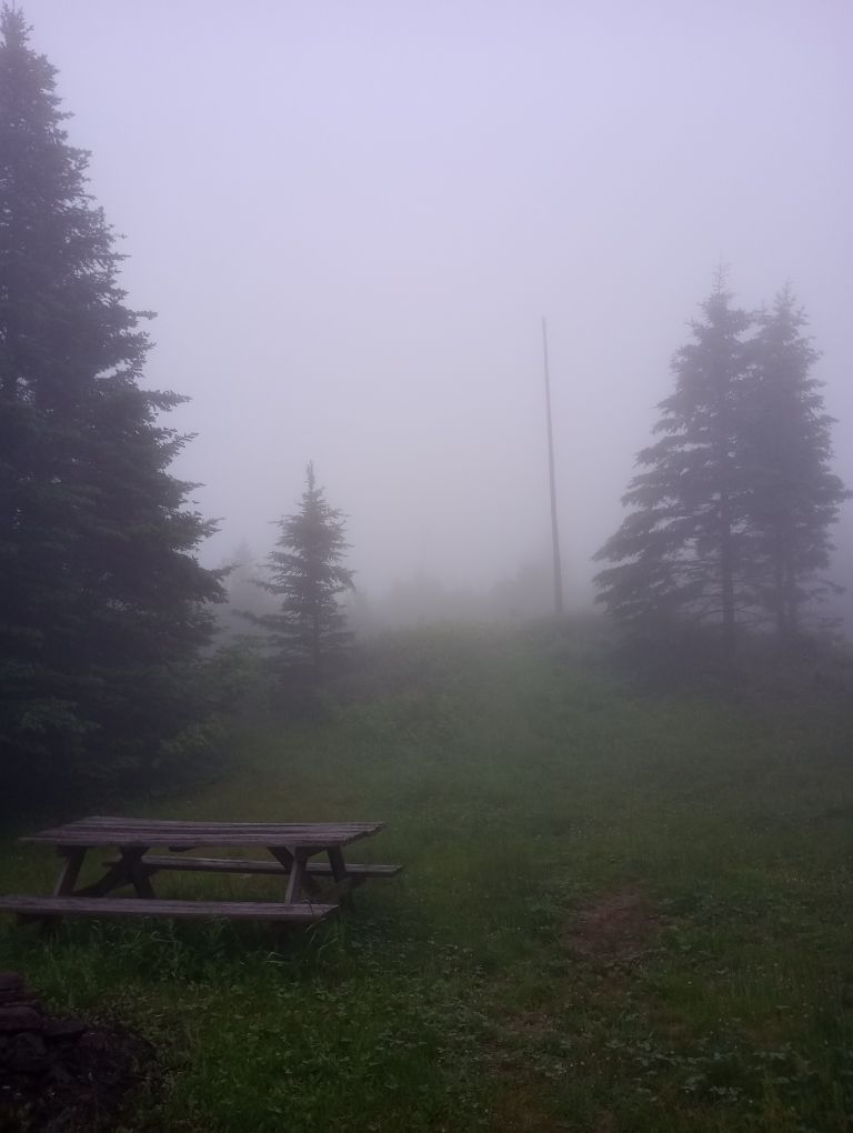
One recurring theme of the hike was rain, so often I have very few pictures of the trail itself – I had to be so careful with my phone.
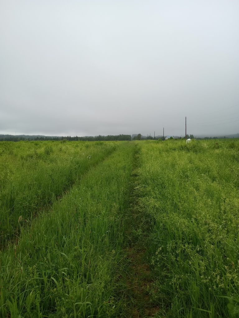
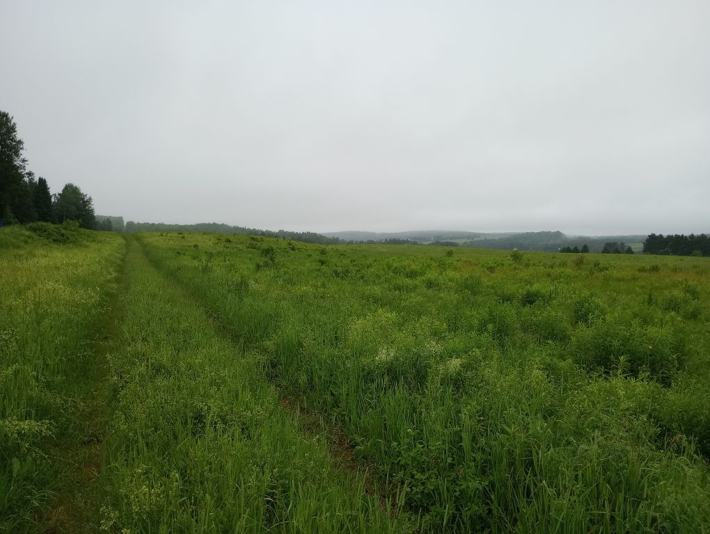
I woke up excited for the fairly long day ahead – it would end up being over 17 miles. Although I awoke at 4AM, I waited to get on trail until 5AM due to a forecasted break in the rain. It did taper off for awhile. Because I was walking the border cut for half the day and the grasses were fairly long, I was soon soaked anyway. It did not matter that the mist often bordered on rain.
It’s an odd feeling to walk between countries, seeing border monuments every so often, assuming that you’re on camera even if you don’t see one.
At one point I hit a kind of boggy quicksand and sank knee-deep by the time I realized what was happening. It took all my effort to drag myself out. This went on for about a quarter of a mile, though I attempted to skirt the area on the edge of the cut. The strain of pulling my feet out of heavy muck rubbed my feet in ways I had never experienced before. This would impact much of the rest of my journey, but in the moment I did not realize it. I was focused on my very slow progress south, the rain, and the bugs.
The good news: I could avoid a beaver flood! Maine IAT volunteers had cut a beaver bog bypass, which added some distance, but was fun to explore and really easy to follow. It was incredibly appreciated.
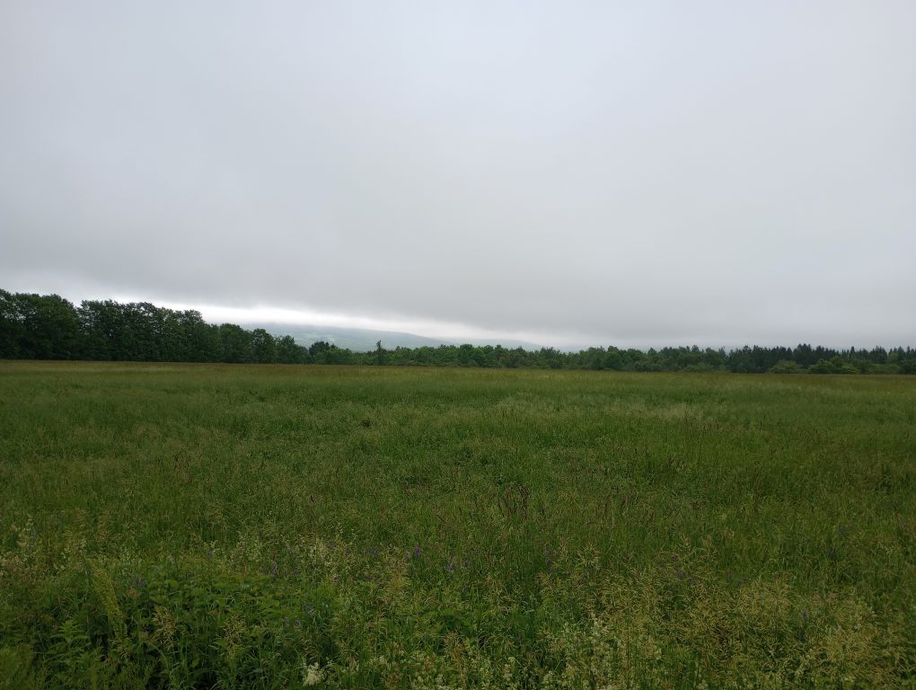
My favorite part of walking the border was along the grassy, open area where I could look out into New Brunswick potato farms. Most of the cut didn’t look like that! But it was beautiful. I had lunch before my big climb of the day up Mars Hill which is also called Big Rock.
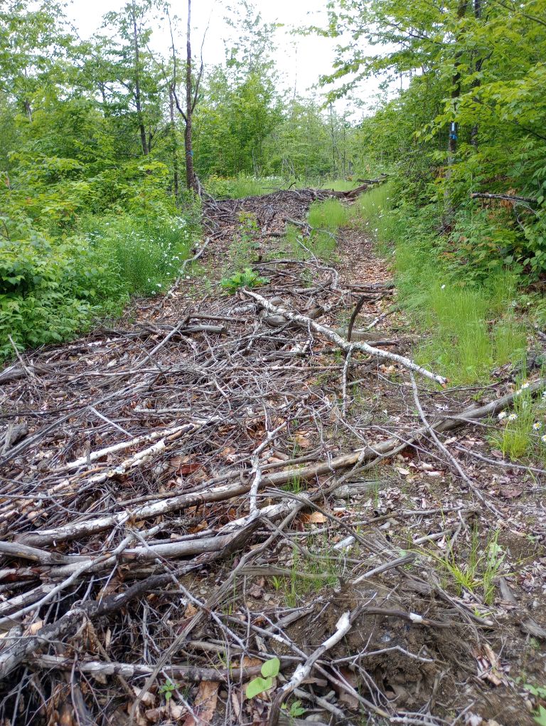
The trail was well-signed, but frequently covered in slash. A comment on the Far Out app pinpointed a water source near the top of the climb, which I was relying on. To my joy, the water was running. I guess, given the rain overnight and today, how could it not be?
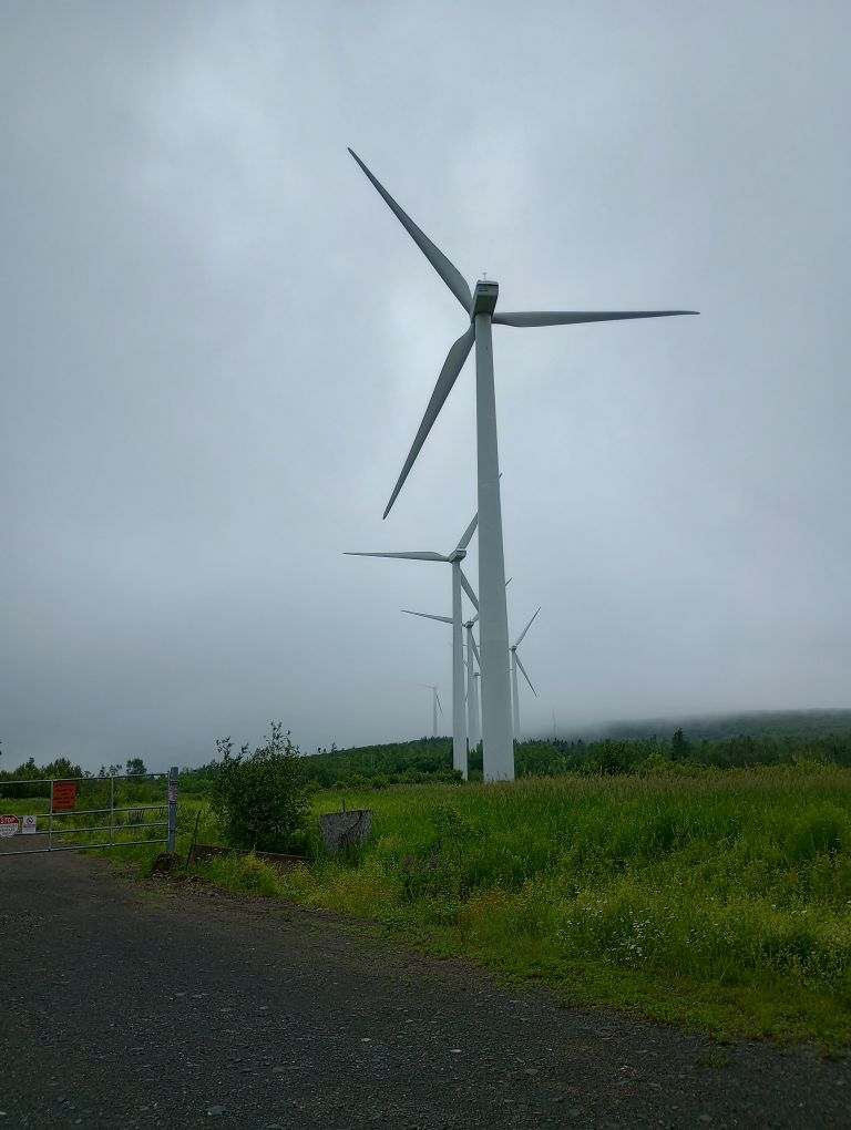
The tread gave way to wind farm access roads which, while undulating, were easier walking. When at last I reached the lean-to, I calculated that the last hours I’d only been moving at one mile per hour. Ouch.
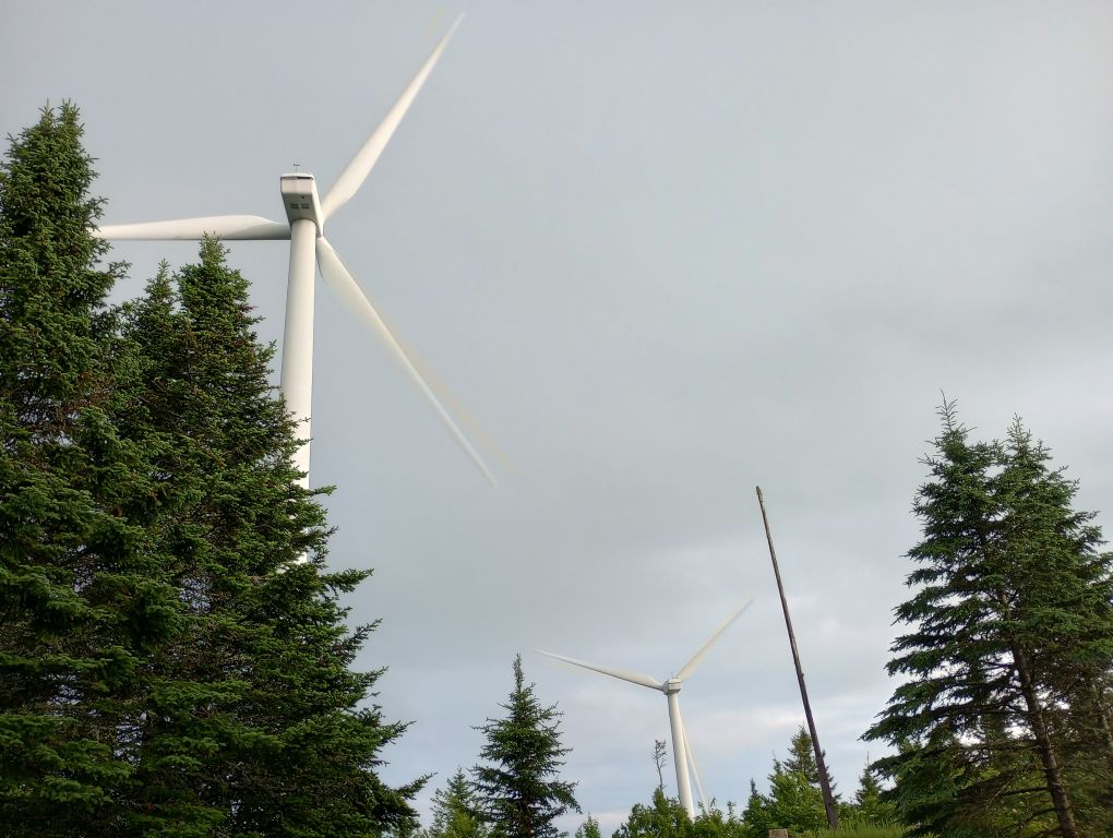
The whole day I had been racing the forecast – thunder and lightning were supposed to hit. I was nervous about being so high during a storm, but short of hiking farther into a town (and let me tell you — that wasn’t gonna happen!), I was kind of stuck.
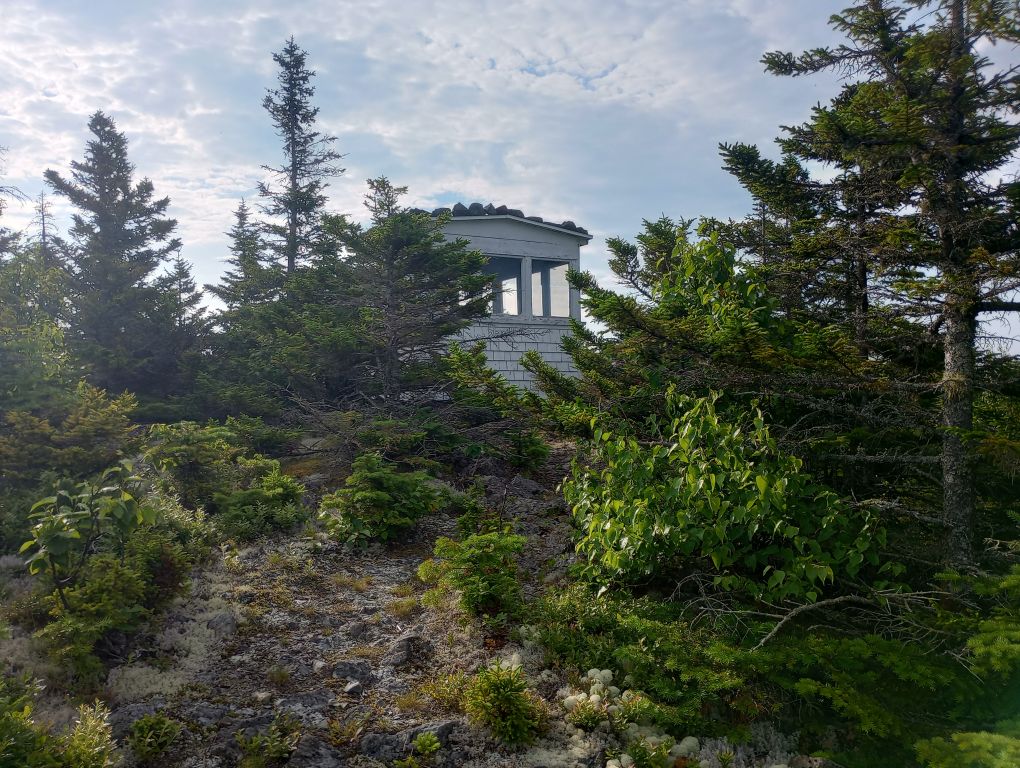
But it was a great place to be stuck, and while the lean-to was a bit eerie with the whoosh and squeal of the turbines, the storm didn’t happen. It did rain though. I was beyond grateful for the shelter. This is among the most unique places for a shelter I’ve ever experienced, and I am amazed that permission was given for its construction. Incredible. Even better: the site had a privy and cell reception so I could tell people I was still alive. What a unique spot.
When I took off my soaked socks, I was horrified to see a giant blister on the side of my foot – a place I had never had one before. It was the size of three quarters. I finally figured out it was from pulling my foot up out of muck time and time again. Whoopsies.
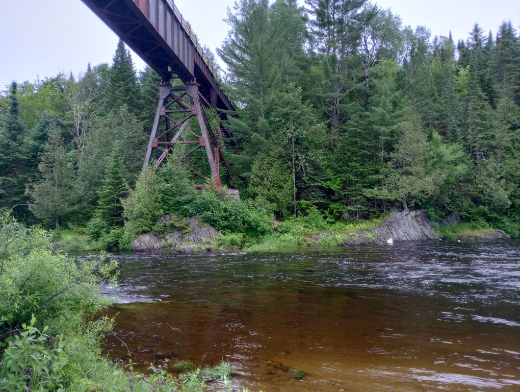
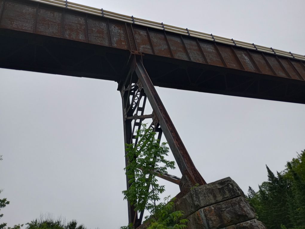
Day 3, June 30, Monticello Trestle Lean-To
I woke up in a cloud, still sore and blistered from the day before. The combination of wet feet, wet legs, and quicksand along the border cut had really done a number on me. And, unfortunately, I had to go over 20 miles to get to the next shelter. It wasn’t ideal, but at least it wasn’t raining. Yet!
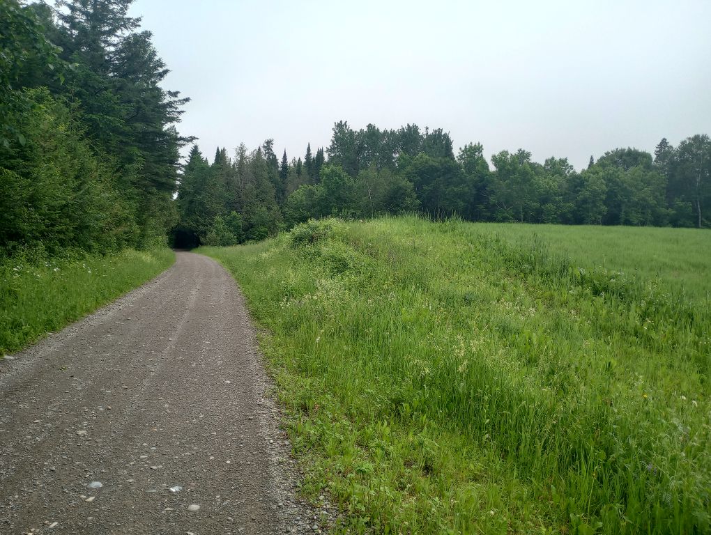
I catapulted down a really neat bit of ethereal trail into the town of Mars Hill. I did a quick resupply for a couple of items I’d forgotten, then I hiked down the Bangor and Aroostook Rail Trail. It was completely deserted from 7:30AM until 1PM, followed by only very light traffic. You never know what multi-use trails will be like, but this one was very pleasant.
The day was challenging not due to the terrain (flat, well-maintained) but the fact that it was first hot and buggy, then cool and rainy. Every hour I was taking off my pack to change from my bug suit to my poncho, then back again. The flat terrain was welcome, but it aggravated the growing blister on the side of my foot and there was no stopping it. It was the biggest blister I’d had since the Appalachian Trail.
All the water sources were pretty gross – stagnant water or ponds with lots of geese. One water source on Far Out was clear and beautiful – and fifty feet down an impossibly impassible slope. I would have needed a rope and harness to get down there. Eventually, I went to a house and asked to use a spigot. The owner was friendly and had hiked all over the state. Fun connection.
It got very hot at the end of the day and I was limping. Traffic had picked up and OHVs were riding by having way more fun than I was. A few nice people stopped and chatted with me, previously unaware that a hiking trail existed on their path.
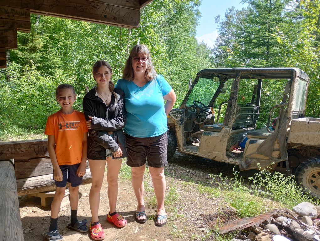
It seemed like I should have reached the shelter, like I had been hiking forever, when a woman and two kids pulled up and asked if I needed a ride. There’s a time and a place to be a purist, and then there’s a time and a place to say “YES PLEASE.” It wasn’t that far — I was almost there, but I loved chatting with Chris and Lila and Otto, who were on their way to the store. They dropped me off and returned half an hour later with a cold bottle of water for me. Pure magic!
It was hot and I was gross, but I was in the shadow of the shelter and I couldn’t believe the magic of the day. I slept so hard.
Day 4, July 1, Houlton AirBNB
It was a slick descent to get water in the morning. My feet were still sore, but I was slowly putting myself back together. Except for the megablister.
I reached Houlton and resupplied at the local grocery store, very close to the trail. I attempted to get a Lyft downtown, which not surprisingly did not work. I managed to walk to the laundromat, which is the friendliest laundromat I have ever experienced. Cheers to Military Street Laundromat for letting me hang out in my poncho for an hour.
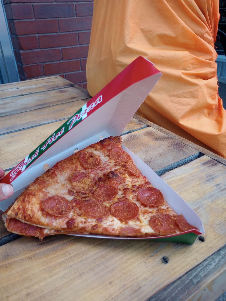
I got a couple slices of pizza and rested in the shade of a nearby park until it was time to check into my AirBNB. The place was easy to find, but hot. I kept the bedroom door closed and the window AC unit on.
I sewed my pants (I sat on something that punctured a hole), ate salad, and enjoyed internetting. The forecast for the upcoming week looked pretty terrible so I enjoyed being dry and cool.
Day 5, July 2, Roach Farm Lean-To
Because of the fairly incessant rain, I was physically struggling. I had a couple of open, oozing wounds and because of the holiday, staying in town to rest wasn’t an option – everything was booked and/or super expensive. There was a long stretch ahead that was entirely roadwalk. While I occasionally really enjoy zoning out to music or podcasts and making miles, with my blister the size of three quarters on my foot, I wasn’t sure I could make it the 21 miles to the next legal place to camp.
Enter Chris, my OHV trail angel from Monticello Trestle. Before we parted, she had offered to give me a lift somewhere if I needed it. I was pretty sure I needed it. We met up and she drove me part of (well, most of) the roadwalk. Along the way, I learned more about the area than I ever could have from walking it. She pointed out where the views would be if it wasn’t so cloudy. I learned about locals, about the local industries, life in and around Houlton. It was one of the best trail rides I’ve ever had because it was fun and I learned a lot and I hope to see Chris again someday.
I walked about five miles to the spur trail to Roach Farm Lean-To. And I have no regrets. It was the best day ever. I took a nap. I watched rain move across mountains. I wrote. I cared for my wounds, which had a chance to finally heal. And I enjoyed my favorite shelter on the entire Maine IAT.

I can’t tell you how much I needed this day. I can’t put into words how fantastic it was.
Day 6, July 3, Mount Chase Stealth
It rained and it rained and it rained. All evening into the night and early morning.
Mentally, I’m not sure how I would have handled the day if I’d done the full 21+ miles the day before. But even with rain, I had a nice, safe roadwalk in the early morning followed by a great trail system hike in the mid-morning.
I actually ran into some trail runners – first I’ve seen on the MIAT, and it was fun to chat. I heard a story of when the MIAT was routed differently and went past their house. One day it was pouring and some hikers asked permission to eat lunch in their garage. I know what that’s like to not want to stop hiking in order to eat. Looking at a map, I could see how the trail likely used to go. I was grateful for the dirt, multi-use trail of its current route.
I stopped hiking before my foot wound had time to really ache. When I inspected it, I could see that it was making great progress towards healing. If I hadn’t had the previous day to rest, would it ever have turned the corner?
I stealth-camped near Mount Chase, which seemed to be the most legal option in the area. Farther would have been great, but 15 miles was enough. My tent was soon covered in slugs, but for once, it didn’t pour rain – just a light mist.
Day 7, July 4, Matagamon Wilderness Camps
I got up ridiculously early because I knew I had a long haul to get to a legal campsite. I had a wonderful breakfast at Wilderness Variety – the nicest people in the world. I was grateful for their help and friendliness, which made me smile the entire day.
For being a holiday, there was surprisingly little traffic and somehow, a lean-to was available at Matagamon. It was pricey, but I had access to Wi-Fi, outlets, and a roof.
I got a bit of sun before it rained all night. Heavily.
Day 8, July 5, Grand Pitch Lean-To
I slept in until 5:30 given the pouring rain and my lack of a hurry. The forecast was right about rain tapering off, and I was relieved to have time to wait it out.
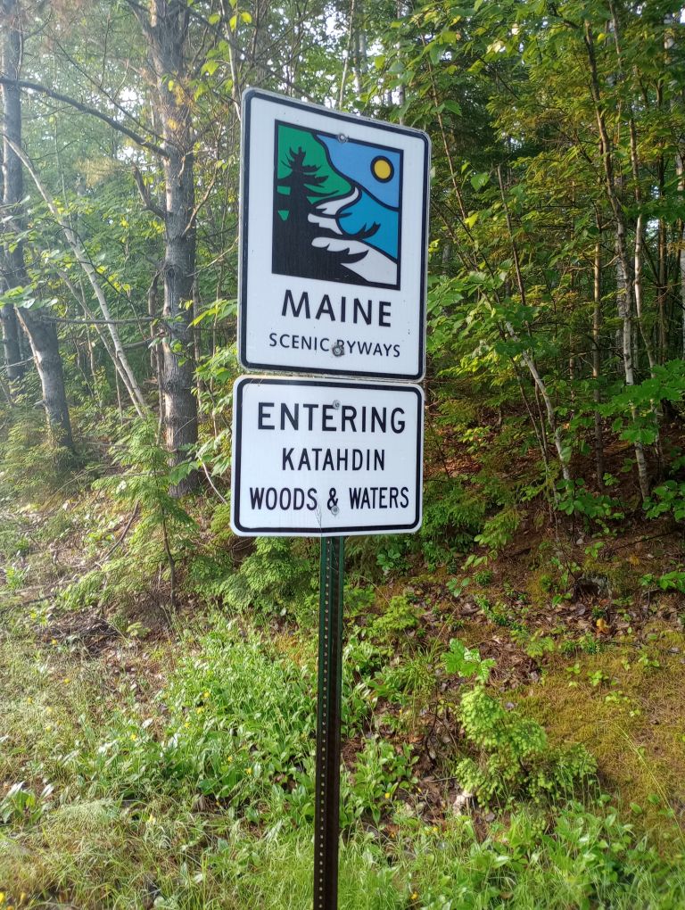
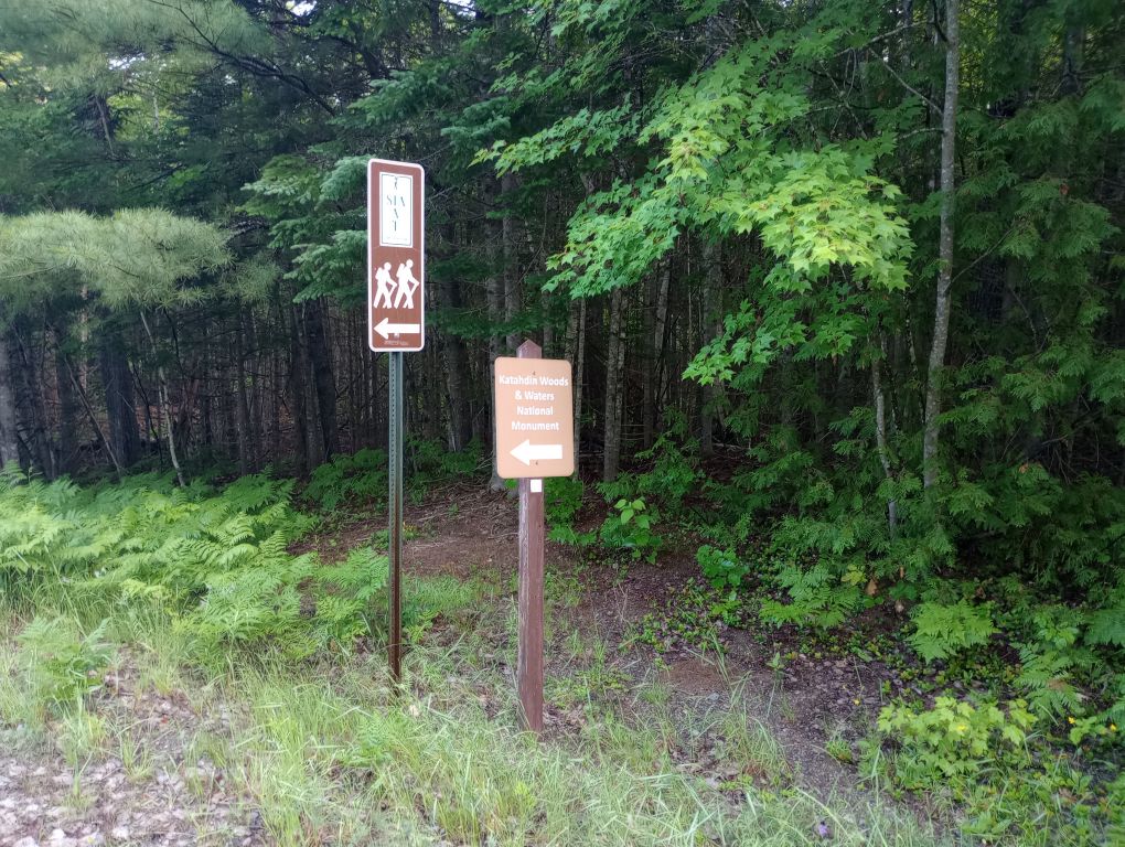
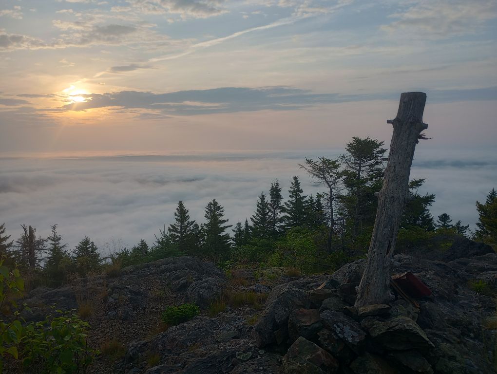
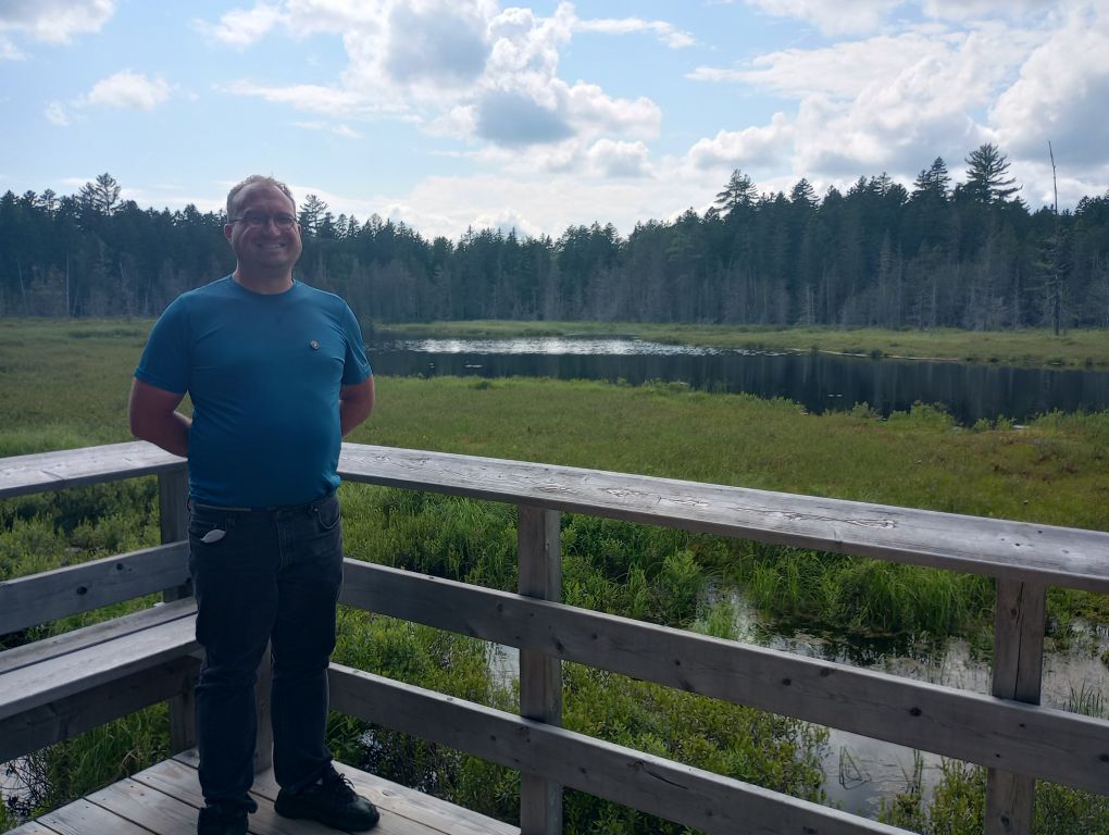
It was a pleasant meander to my first time in Katahdin Woods and Waters National Monument, one of the newer assets in the National Park system. I was so excited for the next chapter of this hike and, when I think back on the experience, this area is definitely a highlight.
I had reservations for the next three nights inside the Monument. (Rant incoming; skip this paragraph if uninterested in reservation rants.) Only in recent years have shelters within the Monument needed a reservation, and the system feels unnecessary — I hiked all the way through and saw no one until I hit a road – something like 68 hours without sign of another human. So I think overcrowding is not generally an issue. The system just isn’t built for how hikers use shelters. The current system enforces a schedule on hikers, not allowing them to adjust for weather or, say, a giant blister. The system also allows for just one party per shelter when each shelter could easily fit many people. And to be clear, I don’t object to paying for infrastructure (if that money is in some way benefiting the resource and not just the company behind the reservation site), it’s more the inconvenience of being held to a schedule when long-distance hiking in a remote area. With no reception, it’s not like I could change my plans if needed. Nor should a long-distance hiker be able to claim an entire shelter for exclusive use in the (however unlikely) event that multiple people could use it. But I guess I shouldn’t complain since I had pre-booked everything and had exactly the itinerary I wanted.
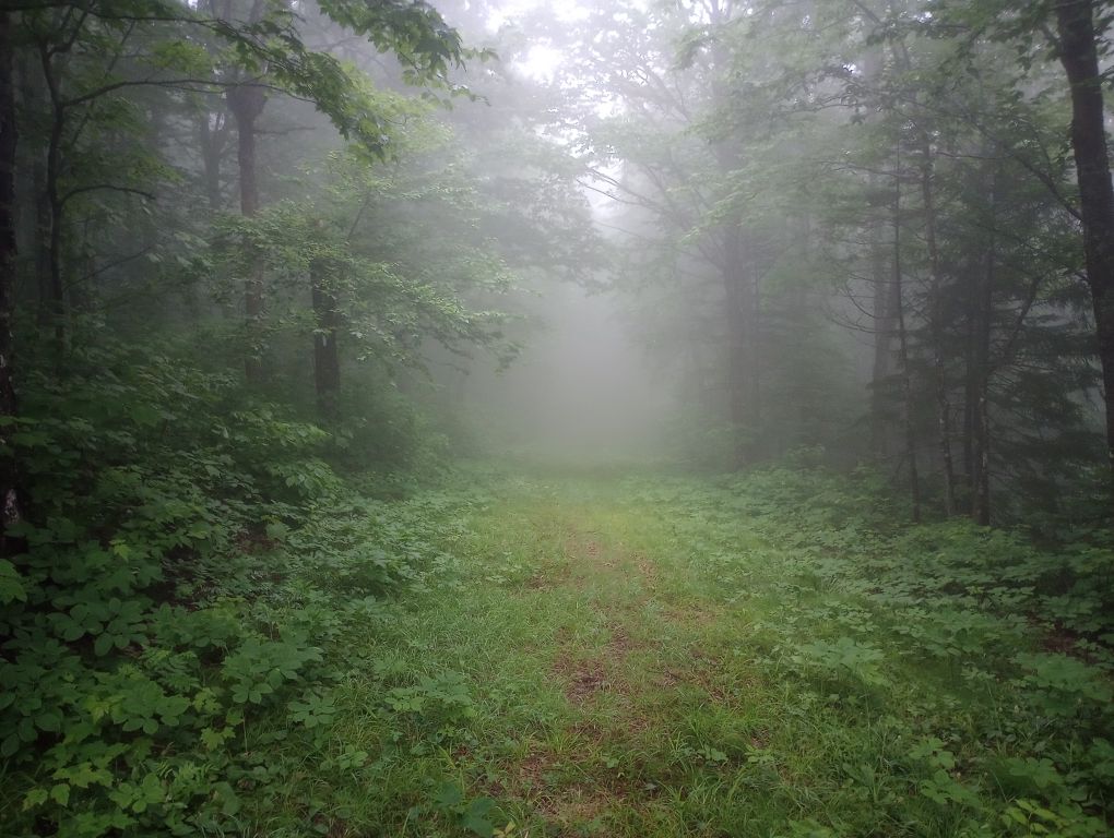
It was wonderful to be back on soft dirt trail. The toughest part of the day was the darkening of the sky by mosquitoes like the sky blackening with passenger pigeons. I wore my bug suit and used spray, and I survived.
Along the way, the views were welcome. Even with my late start and loitering, I arrived at the shelter at 9:08AM. That may seem insanely early to stop hiking for the day — but I had no way of knowing if the next shelter would be reserved by someone (see rant above). Plus, it got up over 90 degrees around noon and it stayed there. I laid in the shelter’s shade and sweated, grateful for the nearby water source.
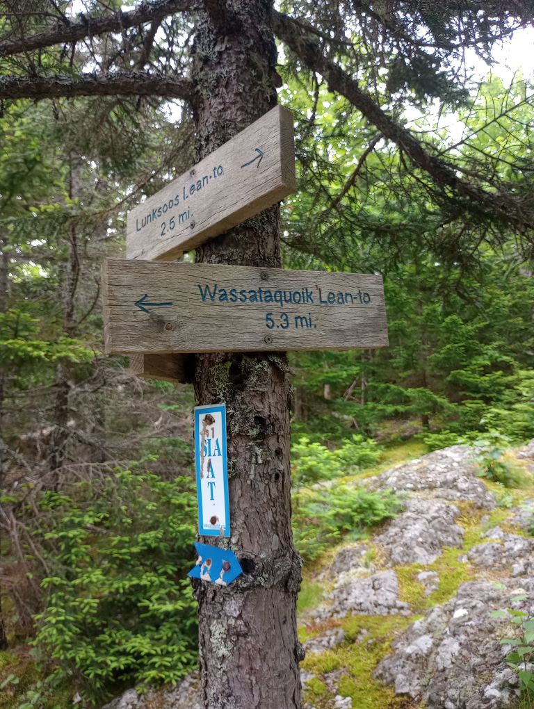
Day 9, July 6, Lunksoos Lean-To
It was going to be another scorcher, so I got up at 4AM to get an early start. On the map, the Old Telos Tote Road looked like it would be fast and easy, but it was boggy throughout much of its miles. On the plus side, I got so wet that there was no point in trying to keep my feet dry. I just walked through all the water. To be fair, how could anything not be wet, given recent rains? And it was a good day for it: the heat was oppressive.
After Old Telos, I reached a portion of the trail which would be really hard to get to do maintenance, and that’s likely why it was overgrown with trees taller than me. I never really worried about finding my way, but I was grateful to have Far Out so if I did get lost, I could find my way back. I kept up a conversation with myself so that any animals would hear me – visibility for the trail ahead was minimal.
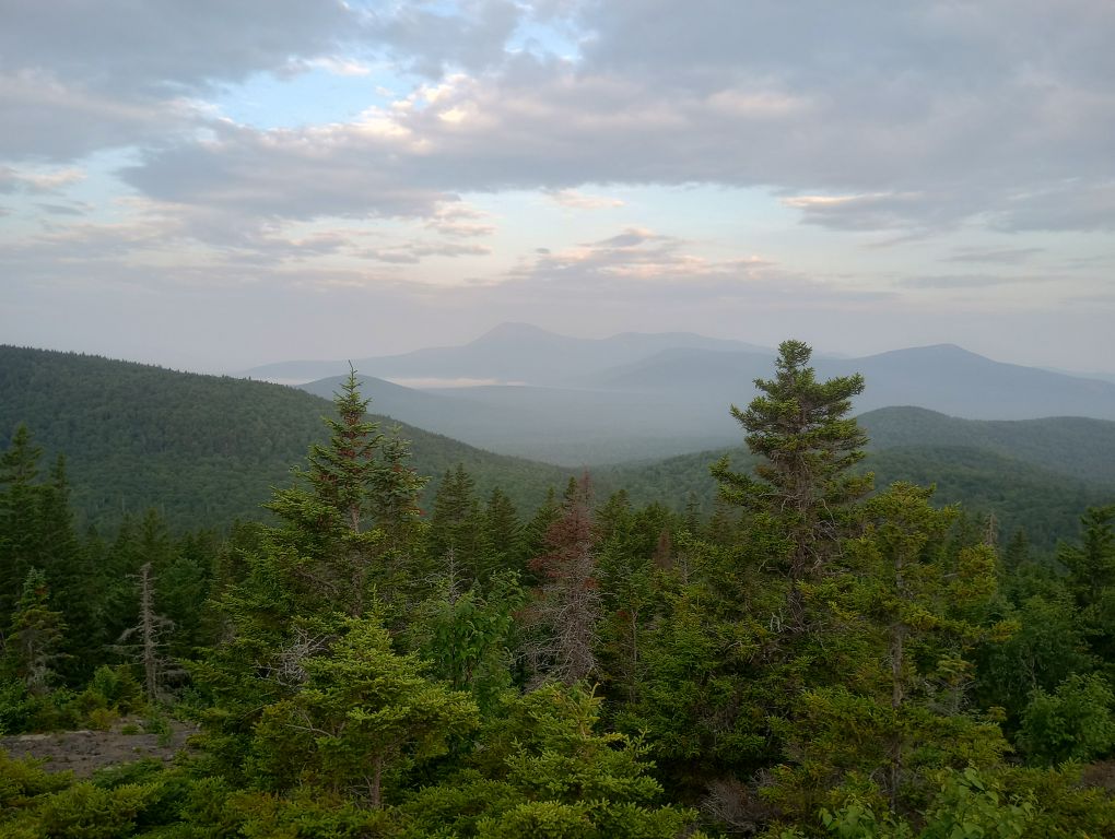
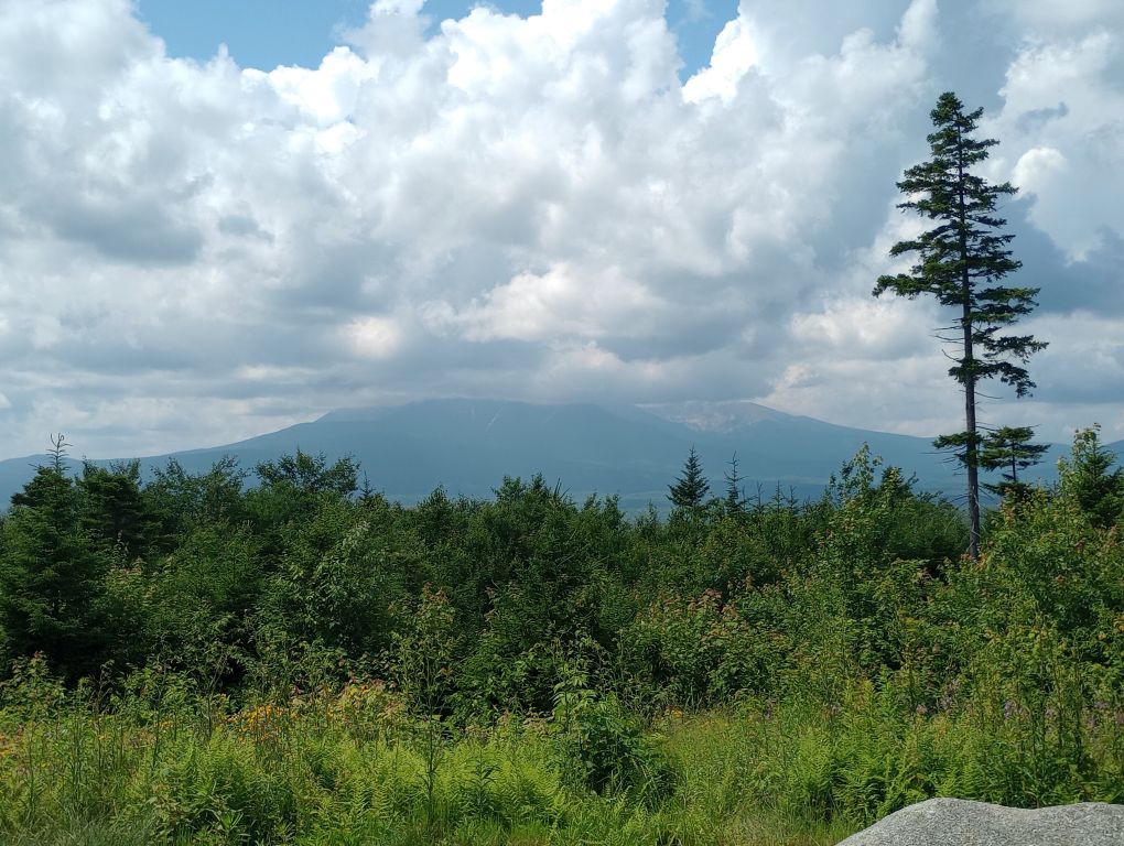
I took two breaks to refill water and one break to sweat. By 9:30 it was HOT, but luckily I arrived at the Lunksoos Lean-To at 10:30. In the final 0.2 miles before the shelter I turned around for a moment and there I saw it — Katahdin. I hadn’t seen Katahdin since 2009.

It was so physically uncomfortable that afternoon – it felt significantly hotter than the previous day’s 90 degrees. There was no convenient water source, but halfway through the afternoon I took off on the fairly long walk to get water. It was so hot, I brought my SPOT device just in case I overheated. The descent to water was a lightly-traveled path, but it was easy to follow. If I’ve been more happy to see cold, rushing water, I don’t remember when.
I sweated until I could sweat no more. Without the shade of the shelter, I am sure I would have burst into flames.
Day 10, July 7, Wassataquoik Lean-To
This was going to be my easy day, only 7.6 miles to my final shelter of the trip, three miles less than the previous day. But it ended up being very challenging. It was so hot that I did not sleep well – it never really got cool and in the morning I was dripping with sweat before I was even packed up. I was on trail at 4:30 and hiked by headlamp for half an hour. Already I could tell that the days had gotten shorter.
The climb to Lunksoos Mountain was only 1.1 miles but it took over 1.5 hours! The trail was in good condition though – if it hadn’t been so muggy and smouldering, it would have been amazing. I was very aware of my luck – the rain hadn’t come … yet.
The view from Lunksoos was exceptional. I think sometimes it’s more magical to look up or over at large mountains than to be on top of them looking down. I looked over at Katahdin in awe, knowing that I likely had a friend summiting that day.
I finally got a whisper of reception, sent some texts, had a snack, and watched the mists.
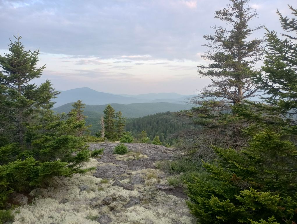
I descended Lunksoos, ascended Deasey Mountain, and took the spur trail to the summit, which was so cool.
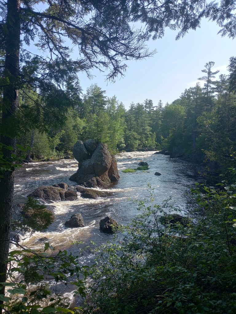
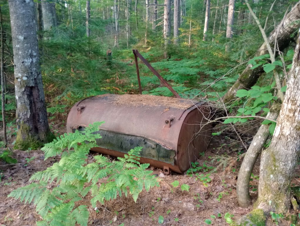
The descent from Deasey was pure Maine! It was slick, steep, muddy, and rocky. The descent seemed like it went on and on, each waypoint taking longer to arrive than I thought it should. But there was so much to see; it was a genuinely compelling area with ruins of a cabin, an erratic, and beautiful trees!
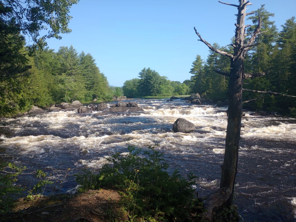
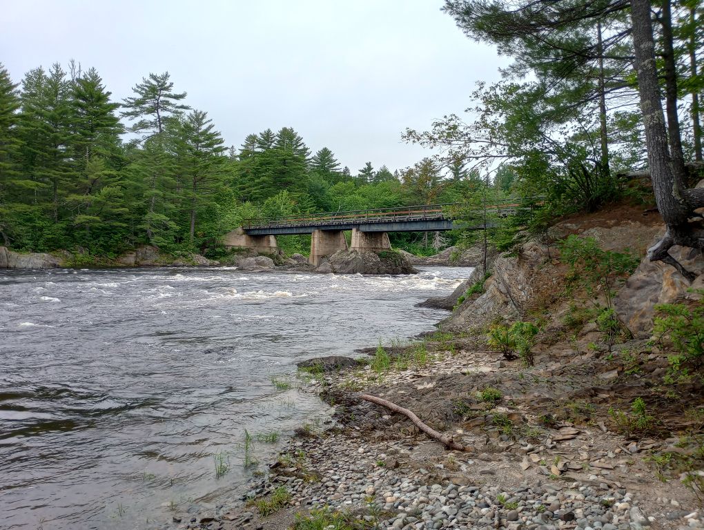
It was so hot that my entire body was wet. I had to keep taking breaks because my temperature was too high. By the time I reached the Wassataquoik ford, I was ready for it. I had been nervous about it for days – given the unending rain, I was nervous that I would be stuck. There was no good way around if the river was high. But the ford was only up to my upper thighs and not moving dangerously fast. Once across, I dropped off my pack and went back in and splashed my upper body.
I was nearly there. Less than a mile to the lean-to, much of it on a sandy road. I ran into two National Park Service workers in a truck heading to the lean-to and campsite to put out reservation information. It was the first time I’d seen anyone since Tuesday. It was Friday. They asked me friendly questions and I tried to not appear too feral.
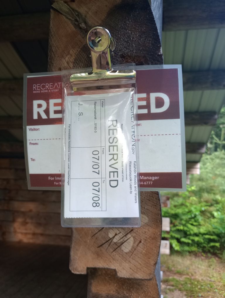
I arrived at Wassataquoik Lean-To at 11:30 – it took 7 hours to go 7.6 miles. Unheard of. And so hot. So hot.
I couldn’t help but laugh at my little reservation sign on the shelter- for logistical reasons, the other shelters will never have such service.
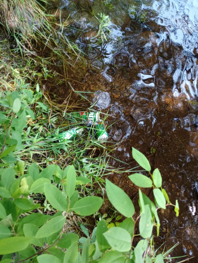
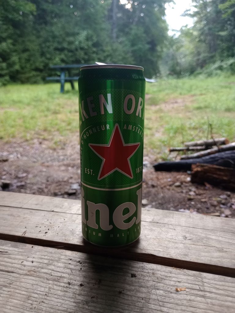
I went to a nearby stream to filter water and found, to my delight, that someone had stashed beer in the water, keeping it cool. To their credit, the beer was tied to a root, keeping it from drifting away. Although it violated Leave No Trace, I couldn’t be mad. I left two but took one. To whoever left the beer: you are a true gentle(wo?)man and a scholar, a hero and warrior against heat.
Thunder began at 12:30, one hour after arriving. I breathed a huge sigh of relief to be inside. It wasn’t until 3 that all hell broke loose. I have rarely experienced such rain. I do not think a person could have forded the Wassataquoik River after that rain. I was so lucky; I was within 1.5 hours of not getting across. And the temperatures dropped with the rain. As the shelter shook with the force of the storm, I read and demolished my remaining snacks, knowing that tomorrow I would be done.
Day 11, July 8, Sandbank Stream Campground
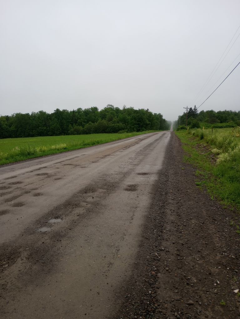
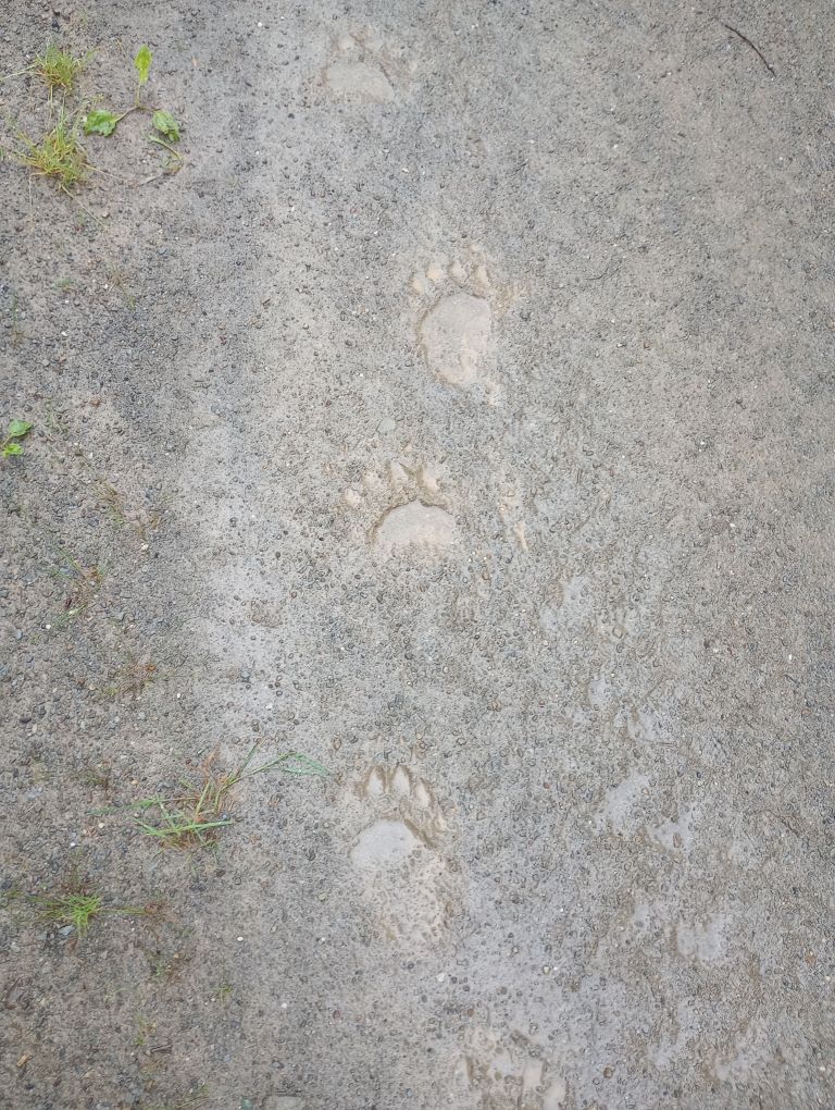
Although I was only a few miles from the end of the Maine IAT, my hike was going to end at Sandbank Stream, a long walk down the Katahdin Loop Road (which is gravel and little-traveled). Typical of trails, I saw no animals on my morning hike, but when I got onto the road I almost instantly saw a bear.
My friends Jamie and Richard showed up in mid-afternoon and once everyone was set up, we toured Katahdin Woods and Waters by car. A small car. A small car with low clearance. But we only bottomed out once! Thanks for sacrificing your car, Richard!
It was a great way to end a long, hard, worthy hike.
It is hard to put into words what this hike meant to me. I got to know Maine so much better and I believe Dick Anderson was right – the Maine IAT is probably very much like what the Maine Appalachian Trail must have been like decades ago. For an AT history buff, it was worth it for that alone.
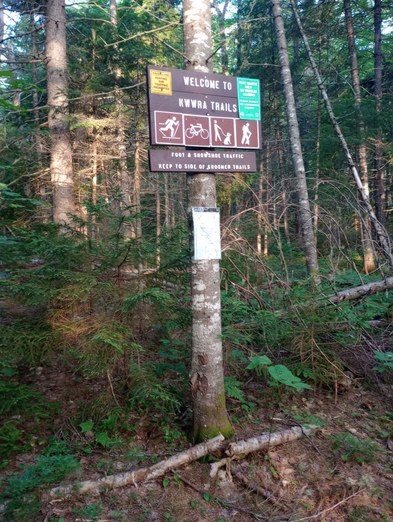
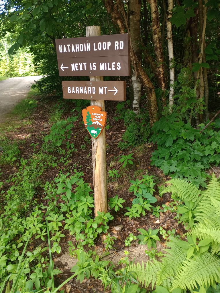
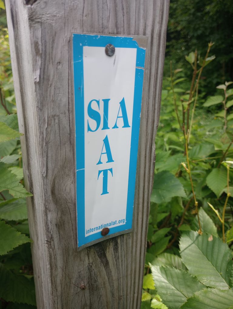
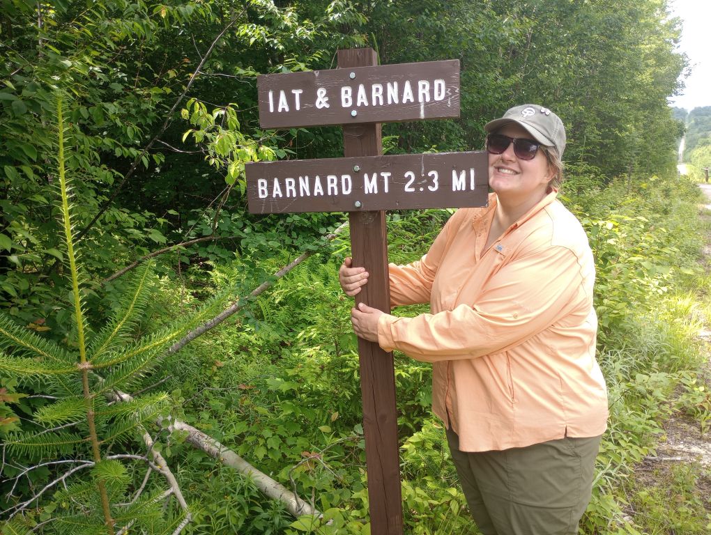
But if I filter out the history nerd and just look at the experience of the Maine IAT, I feel like this trail was a great use of time and resources. I experienced the best of humanity in trail angels like Elaine and Chris and the crew at Wilderness Variety. I appreciated the hard work that went into crafting an incredible eastern hiking experience like helpful maps and guides, background conservation work, construction of lean-tos, and neat trail choices like the descent from Mars Hill. You can tell that people care about this trail a lot – if not, there would be no beaver bog bypass, nor any of the excellent signage.
My time on the Maine IAT is a treasured memory despite really challenging weather conditions and my foot injury, which says a lot about the trail – not every trail could shine despite the considerable clouds. I try to not hike long trails more than once, but I found myself daydreaming about what I would do differently next time. Although I don’t think there will be a next time (so many other trails to explore!), the fact that my brain even daydreams about this is a huge compliment to those involved in the trail’s construction and maintenance.
This trail deserves more traffic than it sees. If you’re interested in hiking the Maine IAT, check out Maine IAT Advice.
