![]() In November 2012, Fiskars and I completed the Benton MacKaye Trail, a 300-mile trail from the Smokies to Springer Mountain, Georgia. Our entire trip was shaped by one major event that took place about a week before we left: Hurricane Sandy. Although we delayed our trip initially, we could only delay so long.
In November 2012, Fiskars and I completed the Benton MacKaye Trail, a 300-mile trail from the Smokies to Springer Mountain, Georgia. Our entire trip was shaped by one major event that took place about a week before we left: Hurricane Sandy. Although we delayed our trip initially, we could only delay so long.
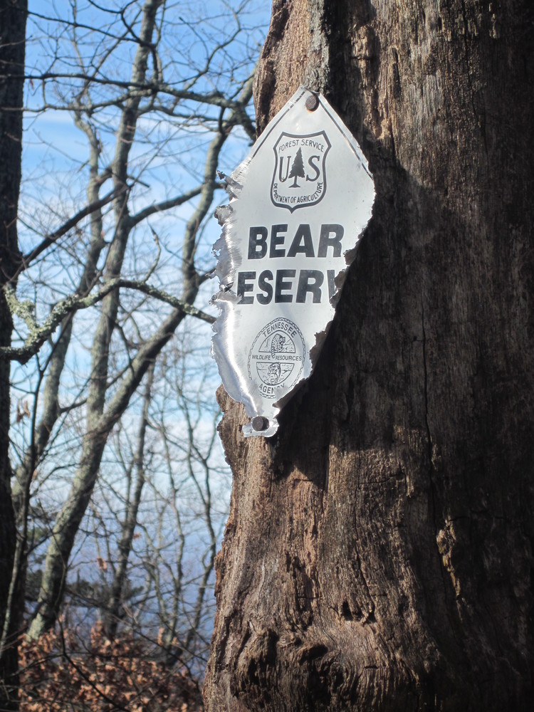
Luckily, while Appalachian Trail hikers were getting airlifted off the AT, the BMT takes a lower route through the Smokies and no airlifting was required. If our hike had been on the AT, we would have had to cancel. No question.
The following is a brief journal and a smattering of photos. Since we hiked, several pieces of the BMT have changed and been improved. This is a record of the BMT at a specific time in its history, not a how-to guide.
November 6, 2012
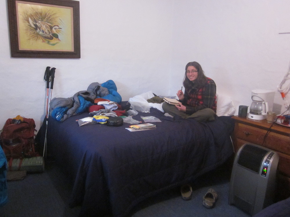
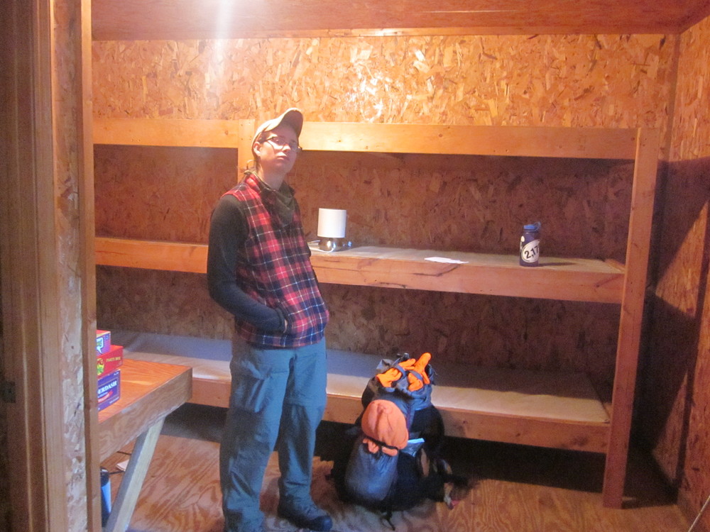
Last night Fiskars, Bart, and I drove down from Mullens, West Virginia to a motel near the northern terminus of the Benton MacKaye Trail. Today Fiskars and I got dropped off in cold, wet woods to begin our southbound hike.
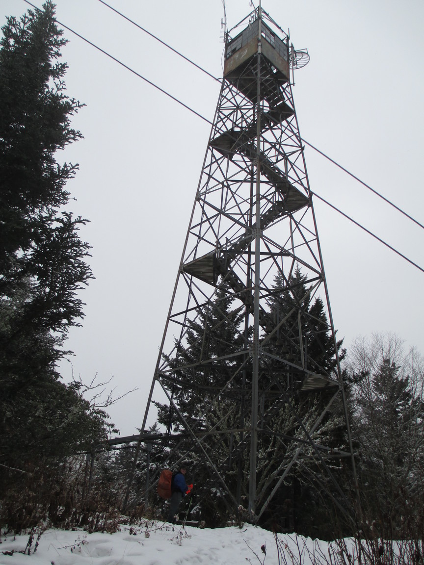
The climb up Mount Sterling was a beast, made more challenging by the snow we hit halfway up. We walked uphill endlessly through the snow to our first campsite perched high on Mount Sterling. It, like the trail, was covered in snow. We stopped, snacked, and debated our course of action. We had done 6 miles and that was all we’d banked on for day 1 (uncertain start time + big climb + snow = low expectations), but we knew we couldn’t stay in the snow and the gusting wind atop Mount Sterling. We pushed on, for in another 6 miles there was a shelter.
It was really, really hard to stand atop Mount Sterling knowing we were only at our halfway point for the day, but the second set of 6 miles took half the time. It was dark when we rolled in though. We were so glad we’d pushed on. No one was there; the shelter was ours; we were out of the wind and not sleeping in snow. Best decision ever.
We saw no one all day.
November 7, 2012
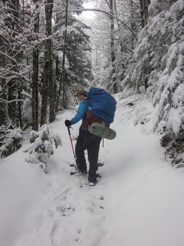 We awoke to loads of snow but our hike today dipped down into spring-green, a welcome sanity break. Soon after we were ascending again and were adopted by a dog who we named Snuggles.
We made it to Enloe Creek Campsite where we discovered that the tent had a persistent leak.
We saw a tent today but no human to go with it. We also had no way to find out who won the election.
November 8, 2012
 We awoke to ice coating the tent. Even though we were at a low elevation, it was exceptionally cold. Sleeping next to a waterfall probably didn’t help. Snuggles curled up too and was ready for breakfast — we shared what we could.
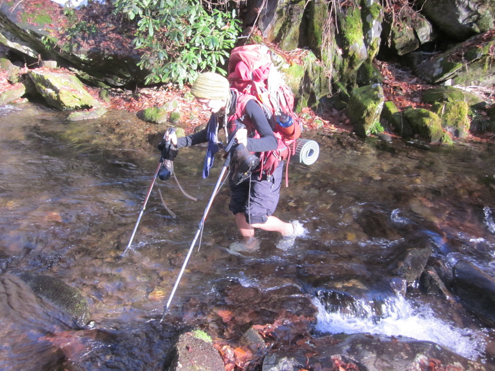
We forded Enloe Creek a mile later because the bridge was out. Then we hiked through more snow where we saw a bear track. At some point along the way we lost Snuggles, though we’d been trying to lure him out of the Smokies where he might find his people.
It took a long time to hitch into Cherokee, but finally a kind man named Mike stopped for us. Fiskars and I got a room at the Microtel and proceeded to eat everything in sight. I also ordered a working rain fly and we found out who won the election.
November 9, 2012
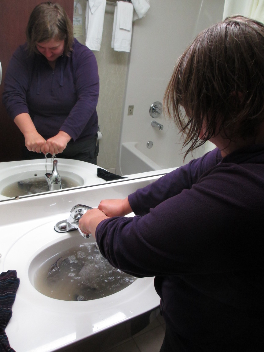
Hiking today was not really an option.
Bathroom laundry, however, was definitely an option.
Hikers are classy.
November 10, 2012
 Leaving Cherokee was fast and cheap thanks to Cherokee Transit. It felt good to get back on the trail after resting. Civilization is great but for only so long.
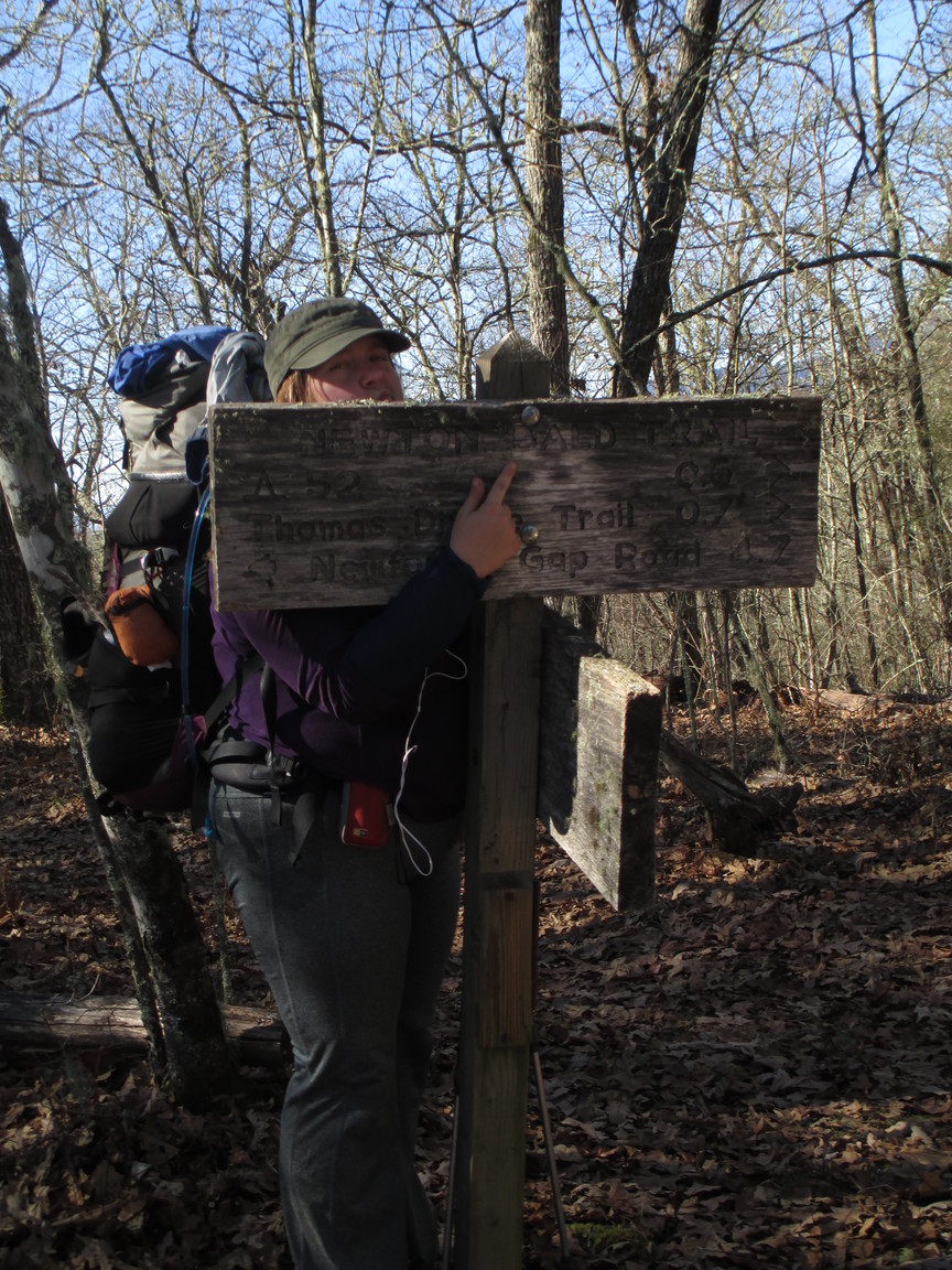
It was a long climb to Newton Bald, which is NOT bald, much to my disappointment. I was very upset.
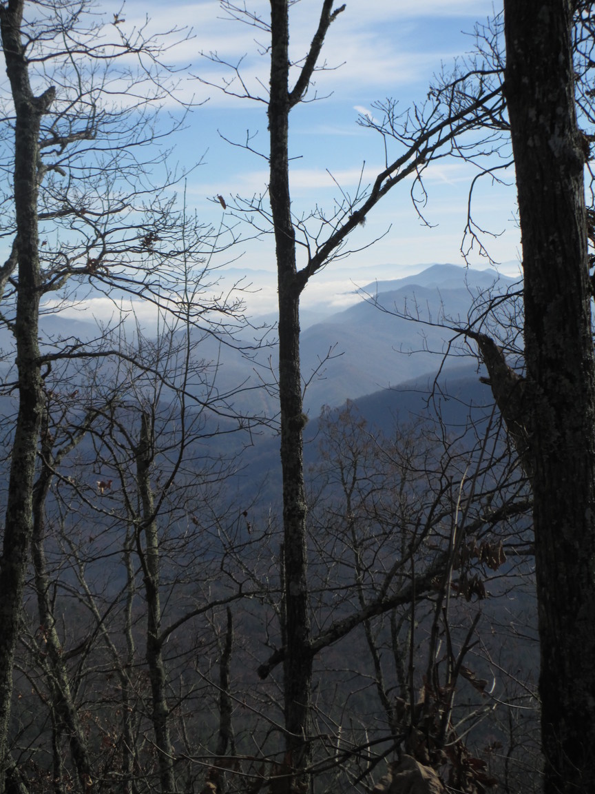
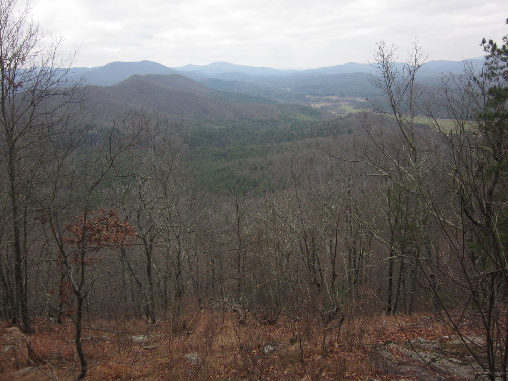
Due to warmer weather and less snow, today we enjoyed our first leisurely lunch. Before, we’d had to cram some food into our mouths and keep moving. But today, we relaxed while looking out at Clingman’s Dome. I do not envy hikers up there.
We shared our campsite with a man who has hiked all the trails in the park and stayed at every single campsite — except for the one we were sharing. It was an inspiration to share his “last” site with him.
Today was a glorious day that sums up everything I love about hiking and backpacking and egg salad.
November 11, 2012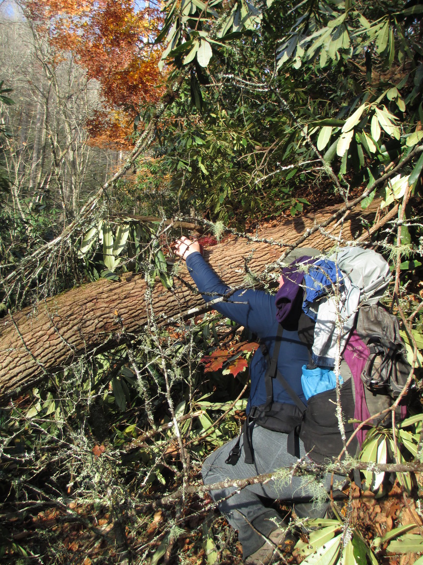
For an 11-miler, this was a rough day.
Today’s first few miles ascended 1800 feet, which wouldn’t have been bad, except it hadn’t been cleared since whichever crazy storm was last in the area destroying it. We went over, under, and around for what felt like forever.
By lunchtime, we’d only completed four miles.
Then there were river fords and, almost worse, 1-log bridge crossings over raging waters.
We set up camp and soon had a bear snuffling about. For a brief moment we thought it was Snuffles. Happy to have bear cables.
Near dark, our friend Mad Dog hiked into visit with us and camp. She is fearless and wonderful.
November 12, 2012
We were on trail by 7:15 and shared many of the first miles with Mad Dog. We got to experience the tunnel to nowhere, but other than that today’s miles were very tedious. This has been my least favorite part of the Smokies.
Rain began about 5 miles before we hit our campsite, so we were both properly soaked by the time we got to camp. Grateful to have a new rainfly on order, but that doesn’t help us now. I was crabbier than Fiskars was.
Long long day. Long long day.
November 13, 2012
 The best gift I could have been given this morning was silence, and I got it — no dripping! The sunny weather lifted my spirits.
Long day, but we’re only 7 miles from the Hike Inn so tomorrow will feel like a day off compared to what we have been doing.
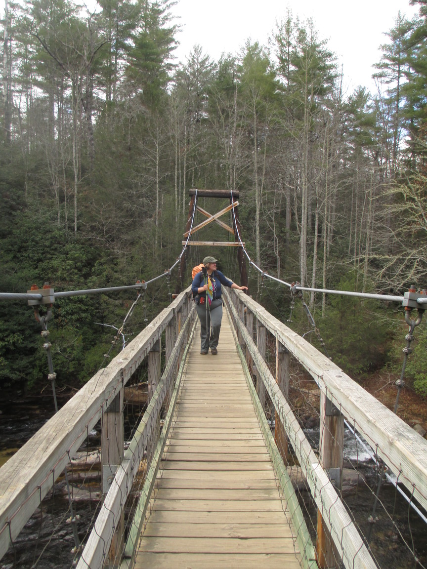
Our last mile of the day included seven stream crossings and none of them were mentioned in our guidebook. All in all, the Lakeshore Trail is tedious and rarely has lake views.
November 14, 2012
The Hike Inn
A wonderful half day after a horrifically cold night. Shuckstack is never an easy mountain for me, apparently.
We got picked up by Hike Inn folks and did laundry and showered. My new rainfly arrived!
I did some math and realized that despite our delayed start to the trip and despite our snow-slowness, we still only have to average 12 miles per day to reach Springer when we planned to. We can do that. It’s really good news, because days are VERY short and VERY cold, so our ability to go very far in any day is limited. I love this time of the year in the south: so few people, so few bugs, such great views. But man, the days are short.
November 15
 Well, I confess we lost a lot of time at Slickrock Creek due to my incompetence. I just didn’t see where the trail went, and insisted we explore a direction that we didn’t need to explore. Fiskars saved the day.
At one intersection we pulled out the map, stopped, and debated for awhile. Fiskars said,
“We’re more competent than we think we are.” Despite my earlier endeavor at Slickrock, I know she’s right.
We are camping at a slanty stealth spot, but it’s the best we could find.
November 16
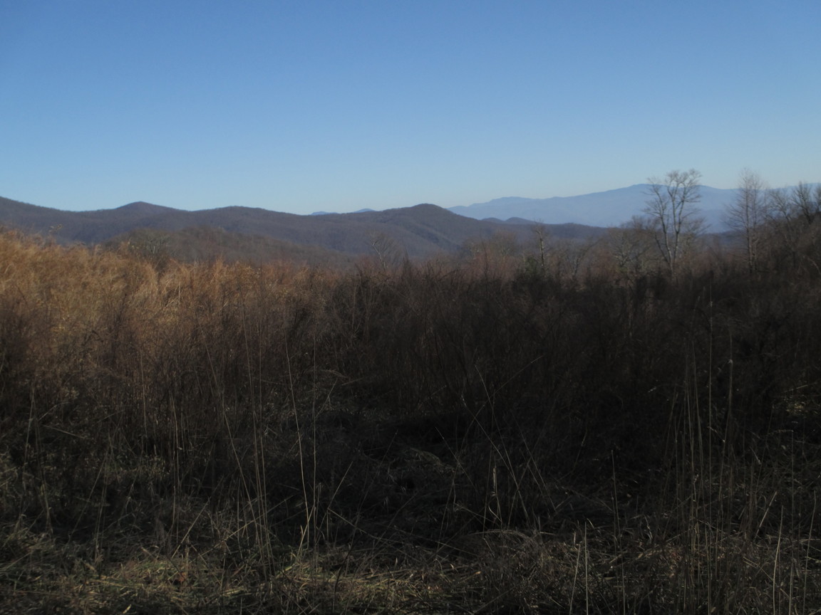
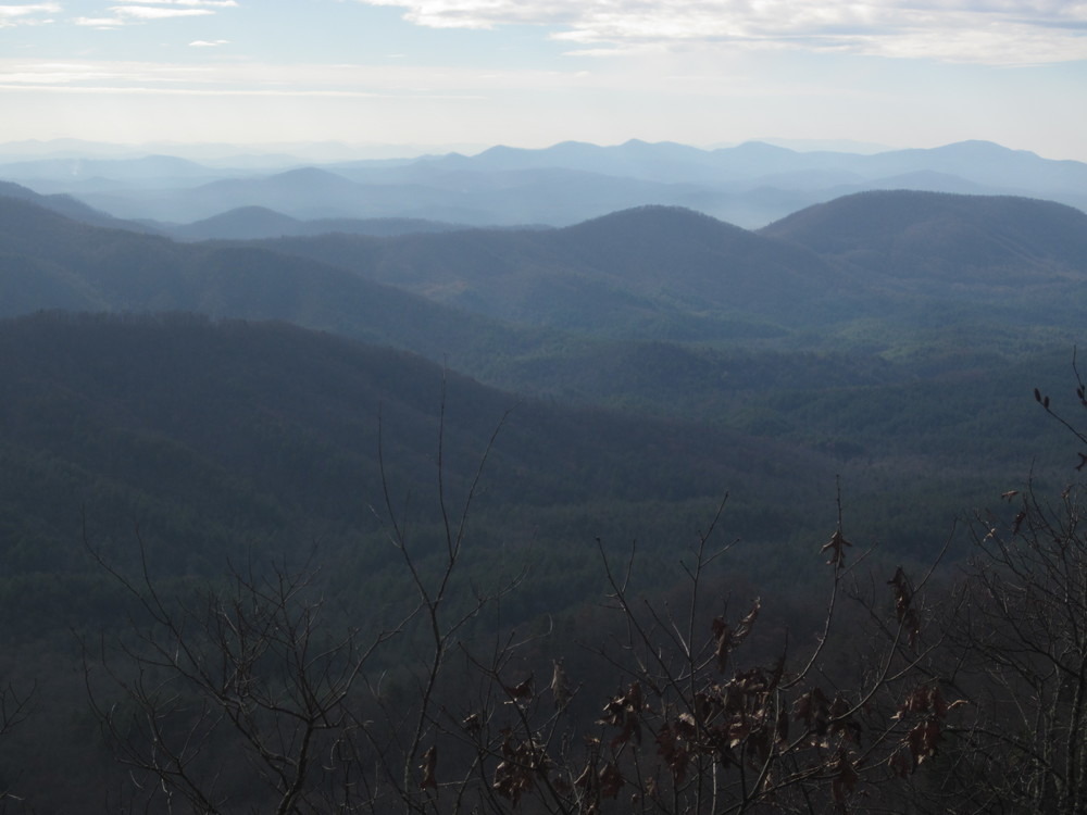
 This was a perfect day on the BMT. From swirling mists to beautiful sun, it was the ideal November hiking experience. We saw no one, not even on Fodderstack Trail which is so far my favorite part of the BMT. Views, beauty, and just fun.
We found sweet, blessed water when we needed it the most. And we watched the sun set through bare trees. Then we were treated to twinkling lights in a faraway valley.
It’s our last night at 4,000 feet here at Cold Spring Gap. Heading downhill from here. It will be hard to beat this day.
I just don’t know if this trail is long enough. If I could freeze time and live forever in an Appalachian November, I think I would.
November 17
Green Cove Motel
 My Camelbak hose froze.
There were some long Forest Service roadwalks today which made the miles go quicker, though it was such a long haul down that our feet are feeling it. The descent never seemed to end.
We visited the Fish Hatchery where we sent a maildrop. The kind man gave us a lift to Green Cove Motel, which was everything I dreamed it would be. Being able to send a care package there was a huge hike-saver: resupply in this area is very challenging.
November 19
We could have hiked yesterday, or we could have taken the day off, eaten biscuits and gravy, and read.
Why yes, we did choose wisely.
November 20
Today we hit halfway on the BMT and climbed two mountains. I played with the spring in order to get usable water from it. Hurray for rhododendron leaves…
A beautiful morning in beautiful mountains. Sunny, temperatures in the 60’s, a gorgeous hiking day. Rolling terrain and an abandoned military ambulance. If it could talk, I would ask it how it ended up in the woods. How long since this trail was a road?
Last night we heard a wild boar.
November 21, 2012
 Today we awoke early and hiked fast. After a long dry spell we drank deeply at Coker Creek. The arid mountainsides feel like they belong out west, not here in the jungly east.
It’s Thanksgiving tomorrow.
Hot. Over 70 degrees. Last night I slept partially out of my sleeping bag and I’ll do it again tonight I’m sure. We’re camped low, down by the Hiwassee River.
November 22, 2012
 It’s Thanksgiving.
My body felt weak today, though I am doing better at staying hydrated. I felt so much stronger back on Fodderstack.
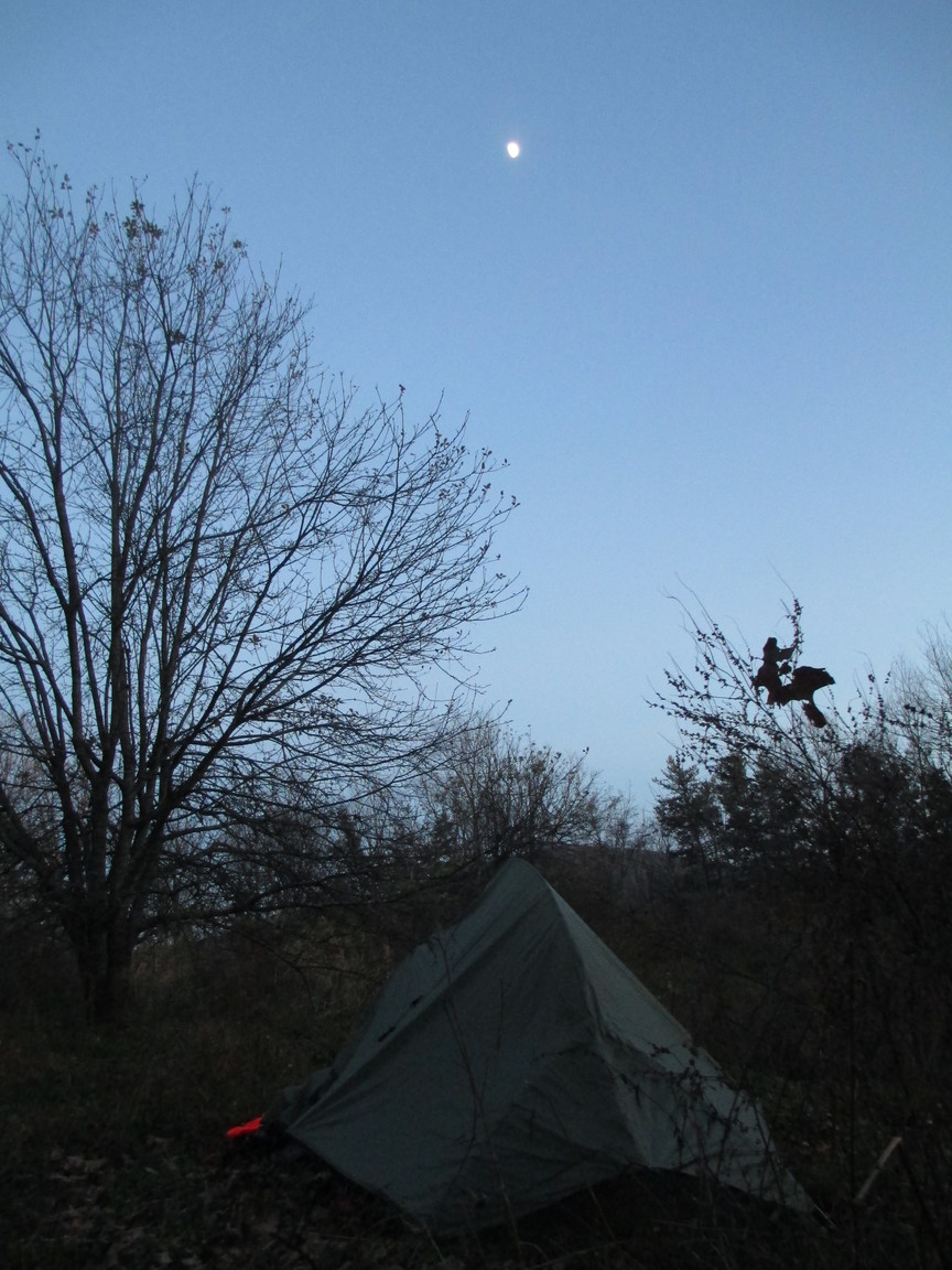
Another hot, sunny, lovely day. We’re camped tonight on Brock Mountain, my favorite spot so far: an old homestead with broken birdhouses, old orchard trees, and a bald field. I felt the ghosts of the past here and wonder how long since anyone called this home. This land’s former tenants silently, benignly walk through these fields still. I cannot be with my family on this Thanksgiving, but I am with these welcoming ghosts who clear the sky of clouds so the moon can shine bright on this little tent in the mountains – grateful to share this clearing for twelve hours.
Tonight we had cell reception and called our families. It’s my second Thanksgiving in the Appalachians.
November 23
 A blissfully short six miles to a road where Mike from Ducktown gave us a lift to the motel.
Ducktown is everything we wanted and more.
We ate at Hardee’s and the Copper Kettle. Laundry, food, and a shower. What a life.
November 24, 2012
 We had a belated start out of town but still managed to make it to the state line. Georgia!
Huge climb up Big Frog Mountain. This is a beast compared to what we’ve been tackling on this trail mostly. This is our last BIG climb.
Everything was covered in ice and snow. Yesterday there was a rain/ice storm — so fortunate to have been inside.
November 25, 2012
 Loud, loud snorting by boars next to the tent last night.
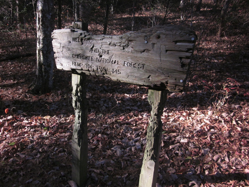
Cold, cold morning in the gap. Piddly, fun mountains like Hemp Top this morning.
We stopped to help two Blue Ridgians who needed directions. They remarked how happy Fiskars and I looked. Well, what’s not to be happy about? We’re in our final state, the worst of the weather is behind us, and we’re still alive.
But did I mention it was cold?
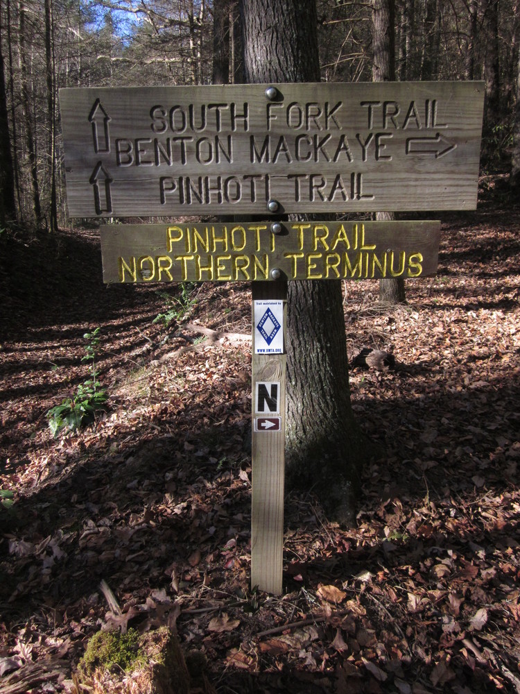
We hiked by the Pinhoti Trail northern terminus. I’ll be back! I feel like the Appalachian Trail was the backbone that connected me to the Long Trail, the Benton MacKaye Trail, and now the BMT connects me to the Pinhoti Trail.
November 26, 2012
Insane geniuses that we are, after a leisurely morning we sat down at lunch time. We had just learned that a hard, cold rain would be coming — but if we pushed 6 miles farther than planned, we could hit one of the only shelters on the entire BMT. That was an obvious plan.
Those last 6 miles were not fun. They were dry, dusty roadwalk and stretched into the dark. I almost made it without my headland but half a mile before our stop I finally gave in and put it on.
Under two hours later – RAIN. We were so grateful to have pushed. Neither of us wanted to, but both of us wanted to at the same time.
I love the sound of rain on a shelter. Only 50 miles to go.
November 27, 2012
Sleeping in until 8:00 felt so good. It was a dreary, foggy, wet day, but delightful to have been dry all night and pack up dry.
Oddly, despite basically being in a residential neighborhood, the shelter had no latrine. So… are we supposed to go into someone’s backyard to take a dump? It’s hard to feel comfortable pooping when you can see the lights of neighbor’s living room windows.
Long roadwalk today, a rather scary road crossing, and endless climb uphill, but we made it to a campsite by a stream. Tomorrow we’re resupplying and taking a day off because we can.
 November 28, 2012
Iron Bridge Hostel
Breakfast, resupply, napping.
What else could you want?
November 29, 2012
 After a really great day off at Iron Bridge, we took off with bacon biscuits and full stomachs. Relentless elevation, but nothing we can’t handle.
At this point, I’m just grateful to be where we are.
No drinkable water today; hoping to find a spring tomorrow.
Only 24 miles to Springer.
November 30, 2012
 Ominous clouds and no water made for a worrisome start to the day. But things cleared up and, using a rhododendron leaf, we were able to fashion a faucet from the underwhelming spring.
Tonight we watched the sun set from Wildcat Ridge, which we’ve taken to calling “Wildcrap Ridge.”
We’re ten miles from Springer and I have no traction left on my shoes.
December 1, 2012
We woke up early. The day was filled with surreal moments: crossing the AT, visiting Long Creek Falls which is where I spent my final night on the AT before finishing. Bittersweet.
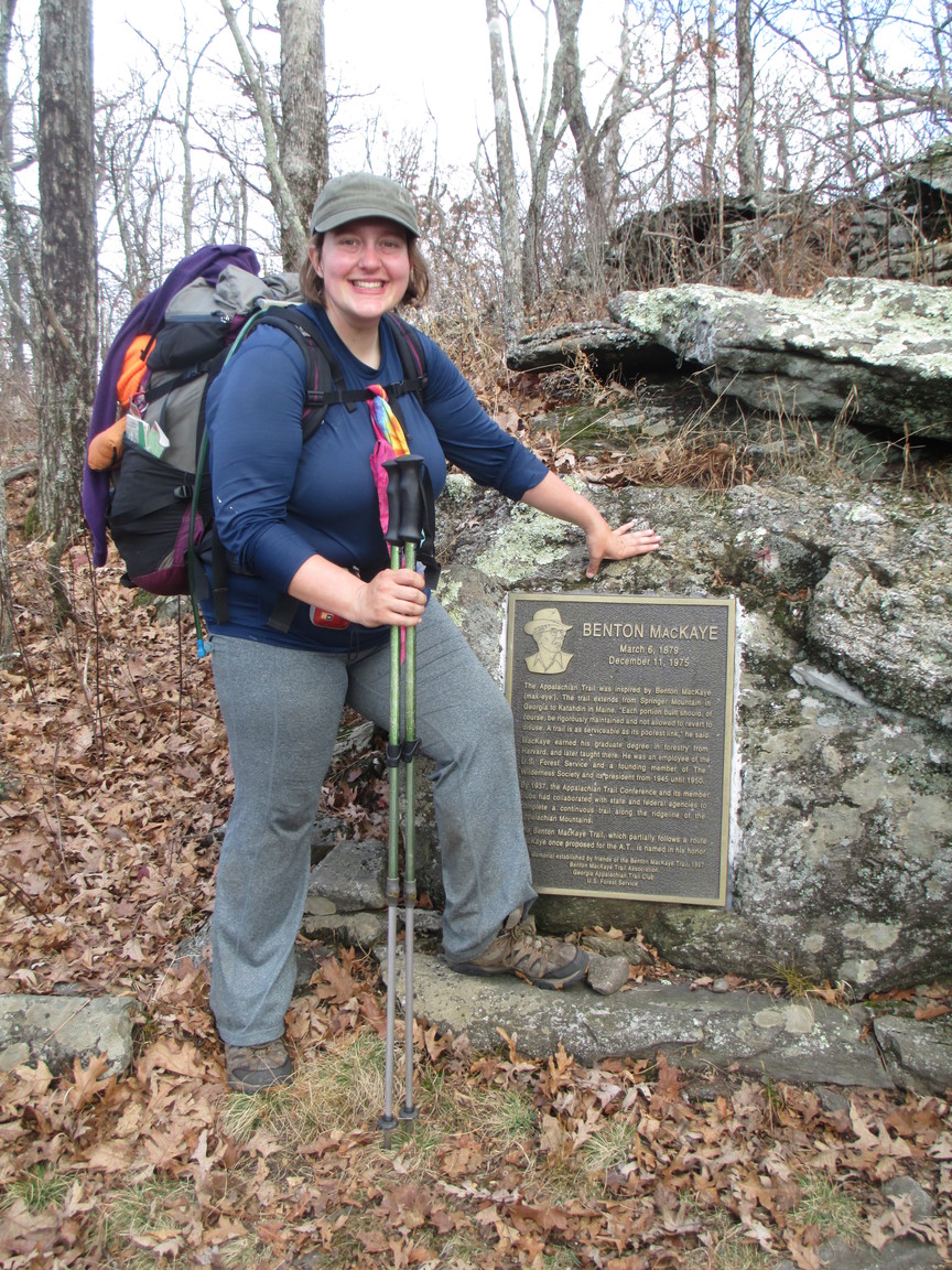
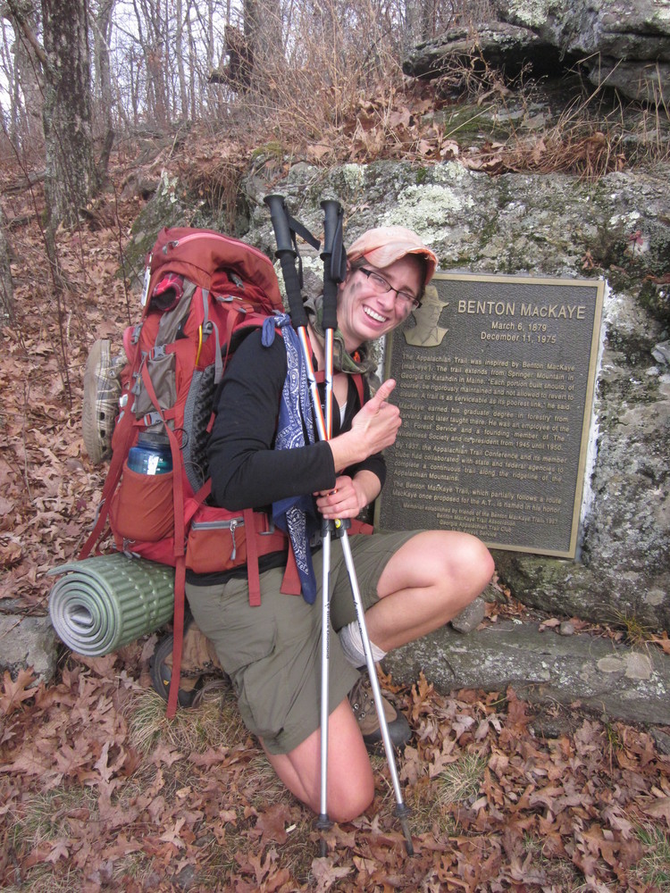
After weeks of solitude, hikers were suddenly everywhere. But thankfully, none were at Benton MacKaye’s plaque. We had some solitude there before heading to the summit where we met Jen and Brandon and other friends who were going to be giving us a lift down the mountain the following day. Somewhere down below us at Amicalola Falls State Park, my mother waited for me. In 24 hours I’d be moving 30 times faster than I’d grown used to.
But first we camped at the gap, one last night of the southern Appalachians. For now.
Great Smoky Mountains 900 miler tracking:
Trip mileage (in Smokies): 92.1
Trip unique miles (in Smokies): 88.4
Total mileage in the Smokies to date: 176.4
Total unique mileage: 171.7
Shelters/Campsites: Davenport Gap, Tri Corner Knob, Silers Bald, Russell Field
