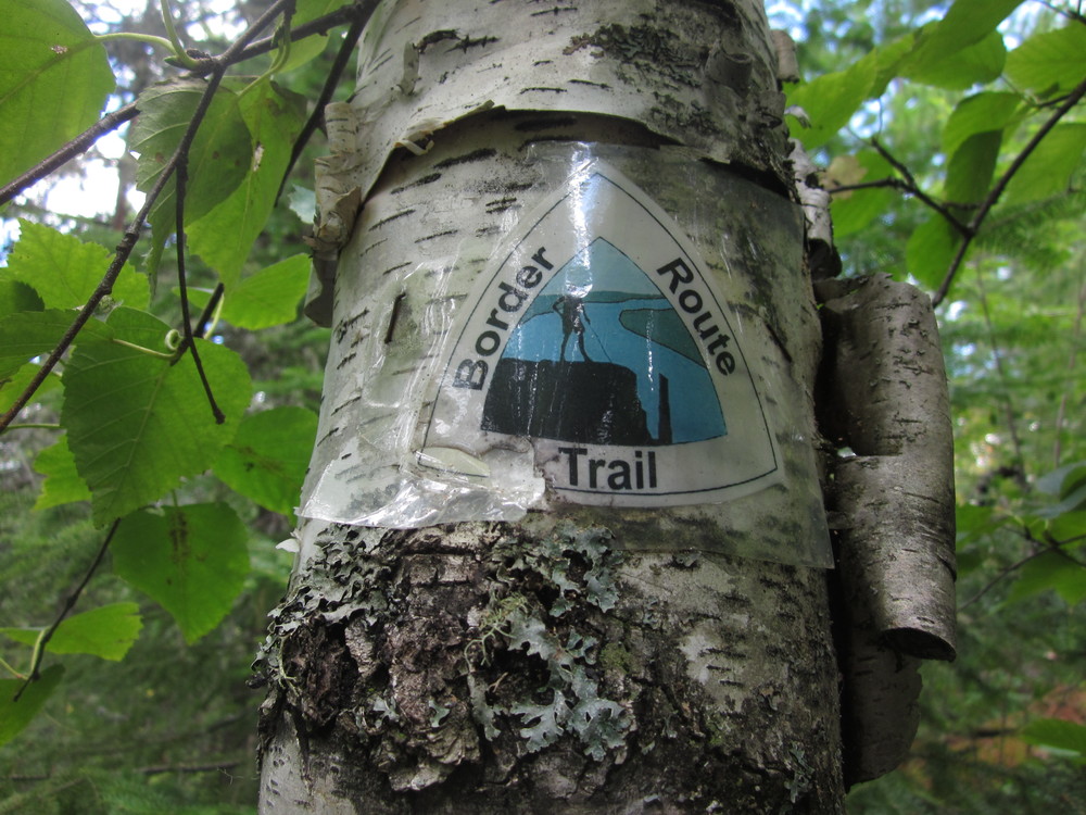
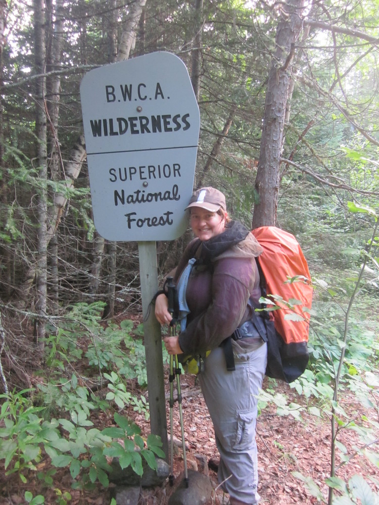
 Ever since hiking the Kekekabic Trail I’d wanted to explore its longer counterpart, the longest hiking trail in the Boundary Waters Canoe Area Wilderness: the Border Route Trail. Just before I moved to Two Harbors, I stole away for one “last” adventure before a new chapter of my life began.
This is a journal of a failed thru-hike but a successful trail completion.
August 2, 2015
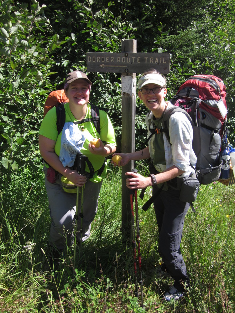
Katie Bovee and I slept in our friend Fritz’s yard so we could get an early start on August 2 en route to Grand Marais.
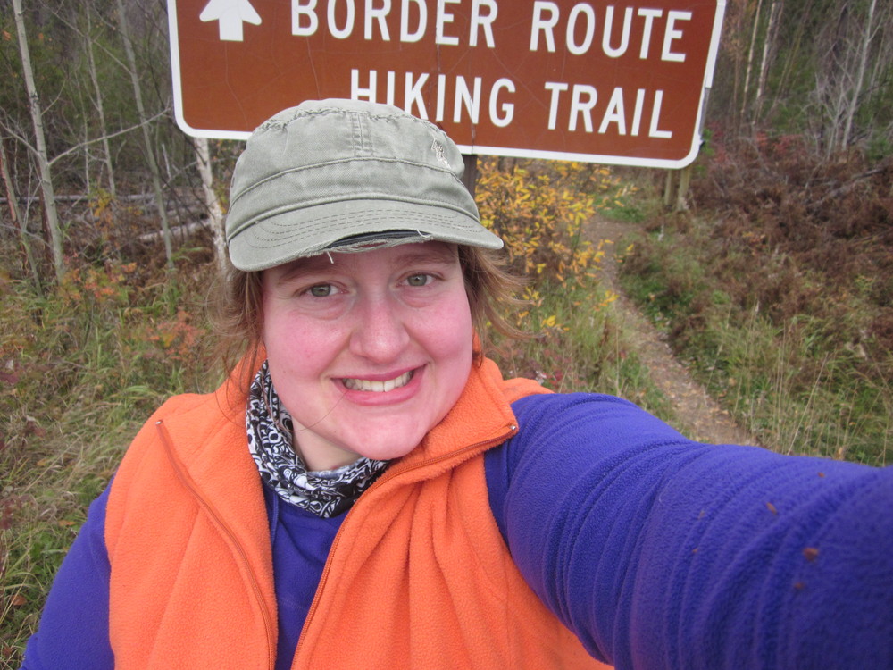
In Grand Marais we met up with my friend Nathanael, who shuttled us from Magnetic Rock Trailhead to Otter Lake Road where the Border Route Trail begins.
 Bovee and I were impressed by the first mile of trail. This is the new northern terminus of the Superior Hiking Trail. I’d never been past Otter Lake Road, so hiking north from Otter Lake Road was a kick for me. Admittedly, I need to get out more.
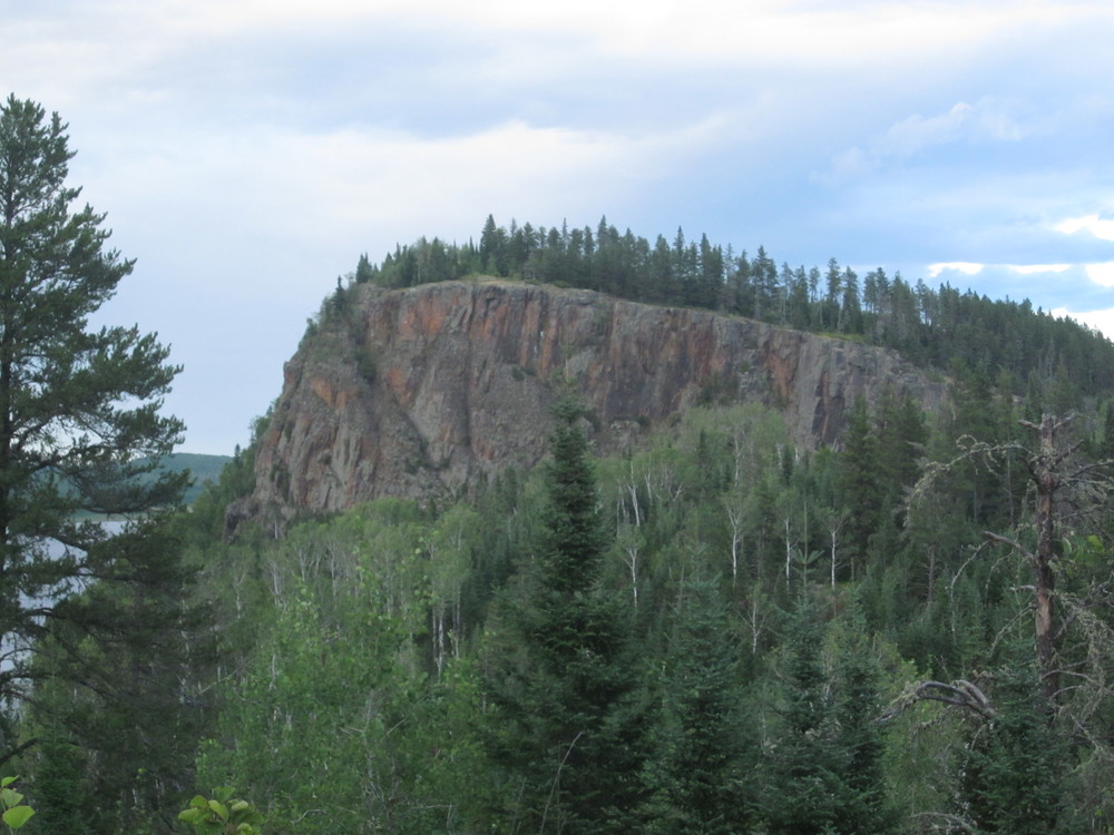
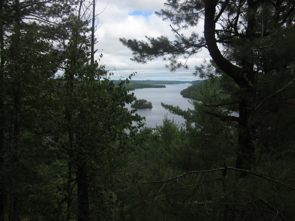
270 Degree Overlook is a fitting northern terminus for the Superior Hiking Trail. We enjoyed this send-off and we turned west toward the Boundary Waters Canoe Area Wilderness. I expected to get there by early evening.
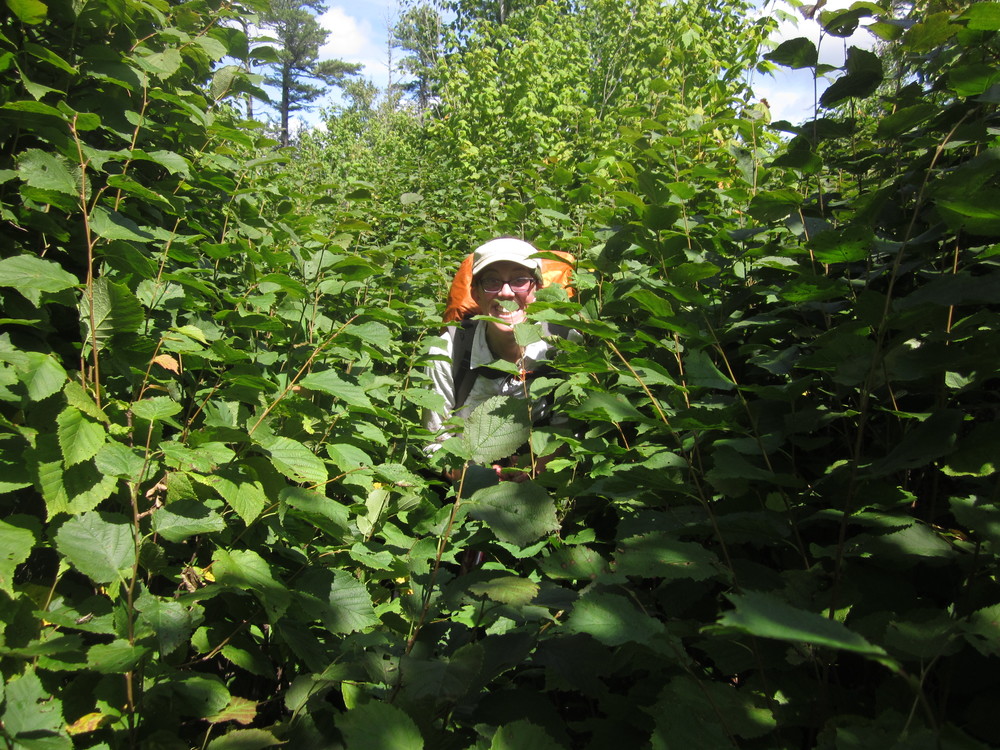
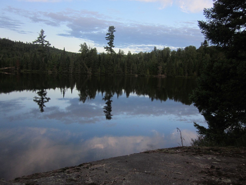
Within a mile of leaving joint Border Route/Superior Hiking Trail, we ran into moose bones on the trail. The farther in we got, the more overgrown the trail became. At many points the brush reached well over my head. There was flagging here and there, but precious little.
Near Portage Brook we lost time looking for the bridge and after Stump Bridge we got stumped. We simply couldn’t find the trail and spent another chunk of time being not exactly lost, but not found either. Bovee finally found the trail and we carried on.
Once we were moving again, the beauty of the day again sunk in. We hiked along the Pigeon River, right across from Canada. We filtered from international waters and carried on.
Today did not go as planned. We only made it a bit over 8 miles, though we clearly went much farther than that with all our seeking of the trail. I’d hoped to make it to McFarland Lake at a minimum but as the sun set we set up at a somewhat-flat place overlooking glowing red Canadian cliffs.
August 3, 2015
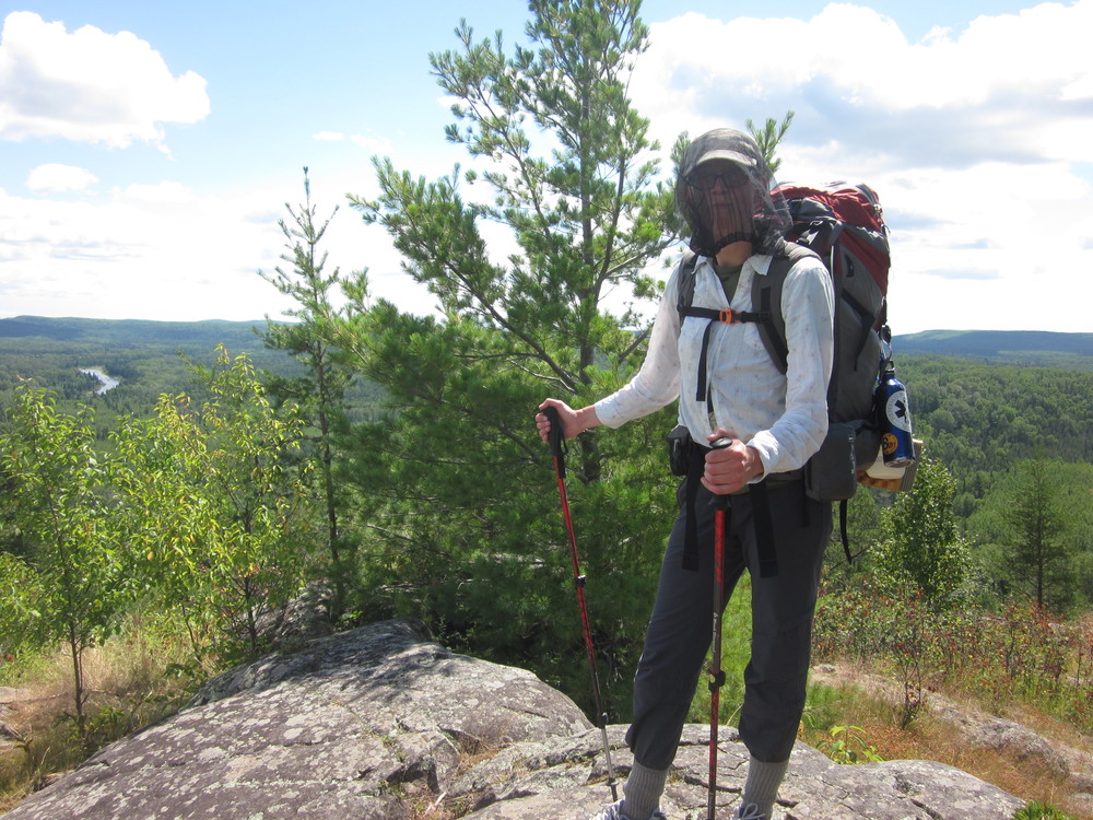
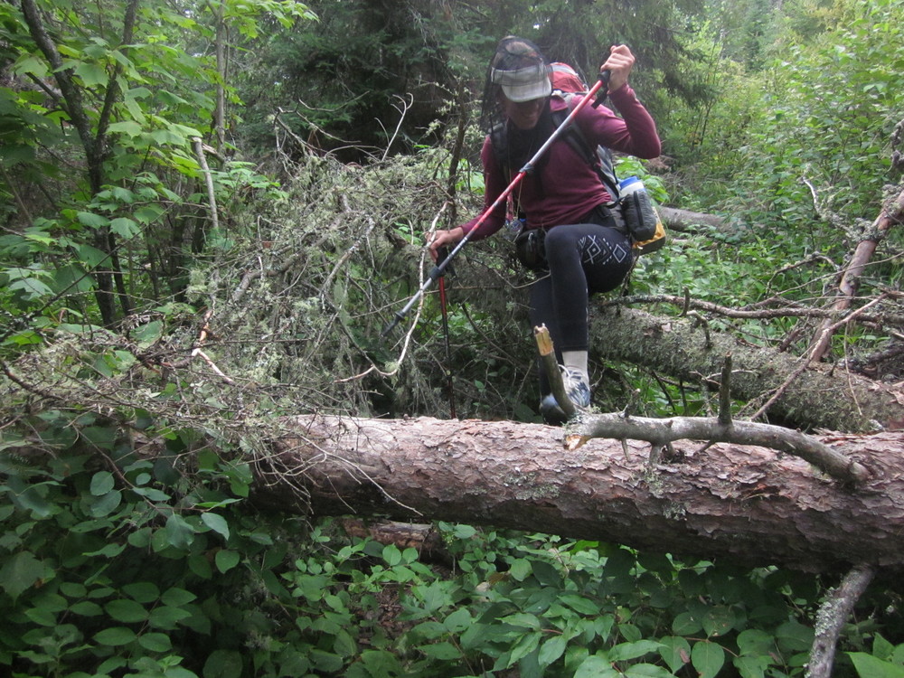 We were on-trail by 6AM and didn’t stop for food until the overlook of South Fowl Lake. The trail continued to be horrendously overgrown, sometimes above our heads.
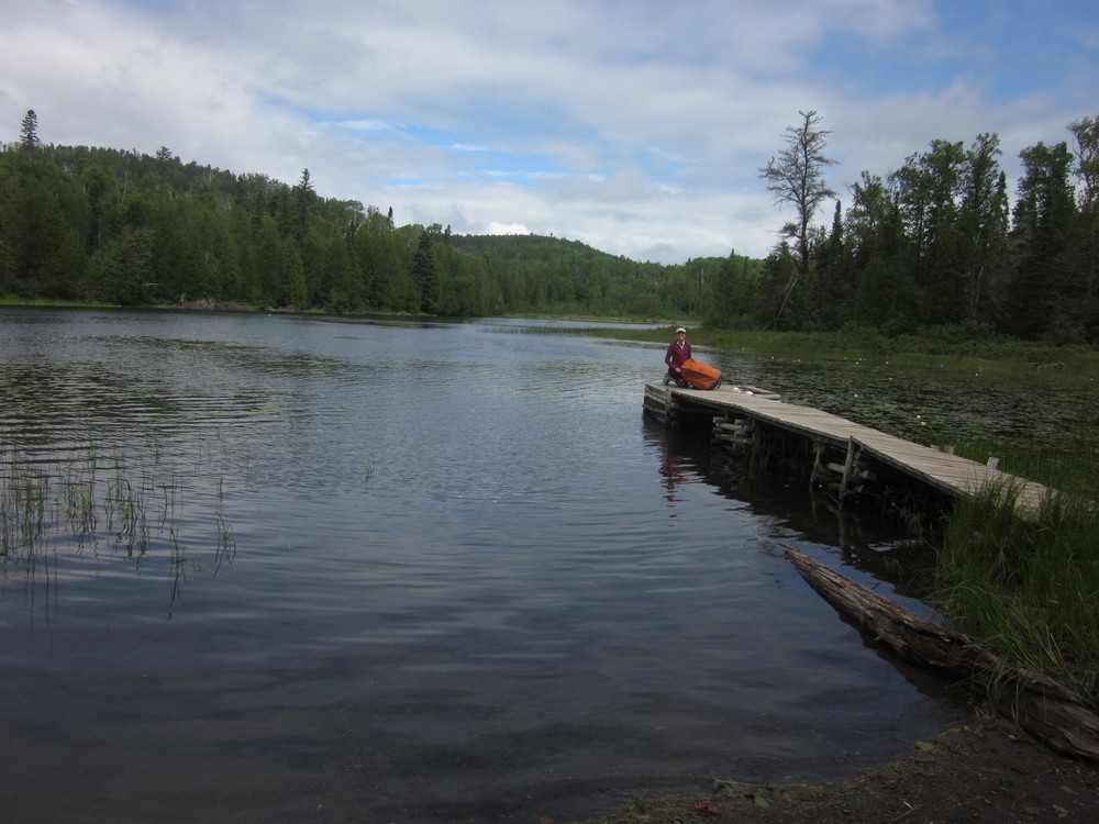
By lunch, which we ate on the dock at McFarland Lake, we’d finally made it to where I wanted to make it…yesterday. Only four miles done by lunch.
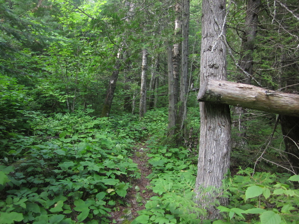
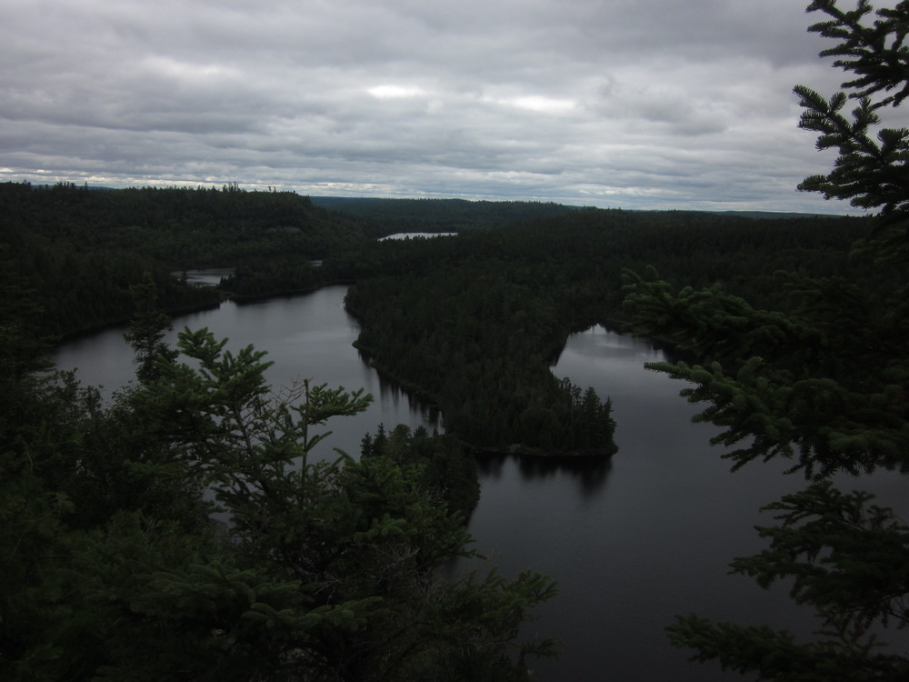
We hiked into the BWCA and instantly, the trail improved. We were hiking upon a super-highway compared to where we’d come from. Optimism began to re-flourish.
But then the trail got harder — much more elevation. Lots of climbing and descending.
I got water at East Pike Lake and filled up everything because our next confirmed water source was Gogebic Lake and, as it turns out, we weren’t going to get there tonight.
I was no longer optimistic that we would finish the Border Route Trail on this trip. We simply spent too much time being unfound yesterday and the uncleared trail slowed us down too much. I knew going into this trail that was not going to be a walk in the park, but what I was finding was slower-going than the Kek.
Tonight we slept on a lichen rock in sprinkling rain after 14.5 miles.
August 4, 2015
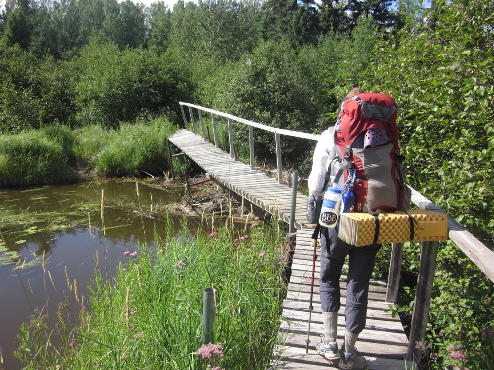
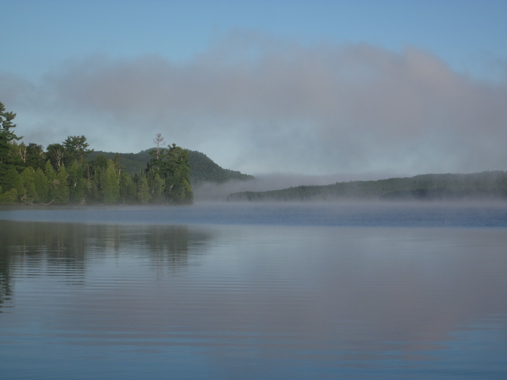
After a night of intermittent rain, we awoke to cloudy skies. We breakfasted at a misty overlook and continued to Gogebic Lake where we got water. We shortly passed a bridged, beautiful stream and met portagers. The next climb was long and gentle, with cool cliffs as a reward.
We bandaged our feet at the next portage, which was good timing for an upcoming overgrown section where it would be easy to trip. I had a blister under my toenail which popped while I was on this section.
We ate supper, watched a loon, and enjoyed a blissful mile of trail that was nearly flat.
We covered 13 miles before we set up along the trail in exhaustion.
August 5, 2015
 We ate breakfast along Rose Lake as the mist was lifting. After a climb we reached an overlook of canoes heading to Stairway Portage.


None of the hills have names but every lake does.
As we climbed to the Rose Lake overlook, we met a family of four on a daytrip from a nearby lodge. From the overlook there were cloudshadows and excellent snacks.
We made it to Sock Lake with daylight left after just 11 miles.
Despite a leech, the swim tonight was medicinal. So was the beaver swimming across the lake at sunset.
August 6, 2015
 We took the Topper Lake Cutoff Trail in the morning and we were quickly at the Gunflint Trail. There are many ways to bail off of the Border Route Trail, and this is one of the quickest and least-painful.
It took over an hour for us to hitch a ride. Just as we began walking, we were picked up. We made it back to the car and began the journey south.
I have a tight schedule which is why we are not continuing on. In a few days, I will be irrevocably changed as I enter a different phase of my life. I had hoped for one more quick thru-hike before it started, but I’ll have to be content with a section hike. And that sounds pretty darn good.
October 16, 2015


For $20 I got a shuttle from Magnetic Rock to Mayhew Lake Road and the Topper Lake Cutoff Trail. Unfortunately, this time I travel without Bovee.
The trees are bare; the sky is blue and the waters look out of place against the dreary gray of naked trees. I blew through the miles picking up where Bovee and I left off. Topper Lake and Bridal Veil Falls were quickly passed.


In a clearing I found a bed of pine boughs, pre-cut. I set up there in bitter, biting cold. I could see twinkling Canadian lights.
October 17, 2015
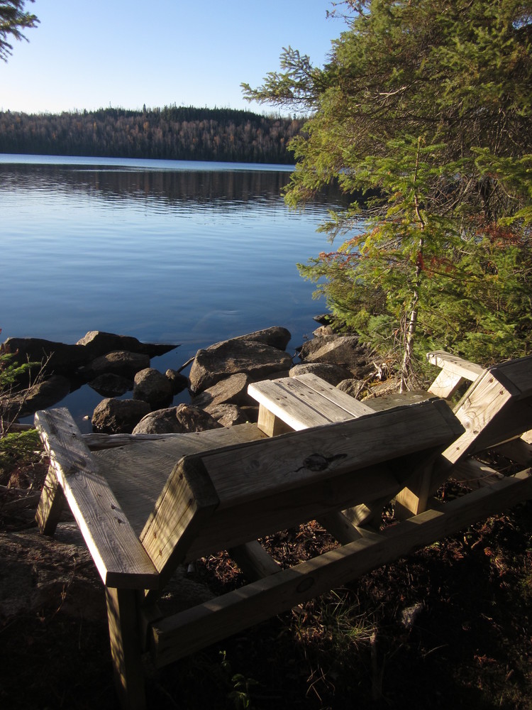
 I awoke in darkness after little sleep but the day warmed, and the trail was relatively easy to follow. I enjoyed second breakfast at Loon Lake’s chairs and enjoyed sweeping views.
Landmarks make miles fly. I had trouble in a couple spots but figured it out.


Then as I was approaching the home stretch I think I got off the BRT onto a ski trail. I have no idea what happened, but I ended up at Magnetic Rock anyway.
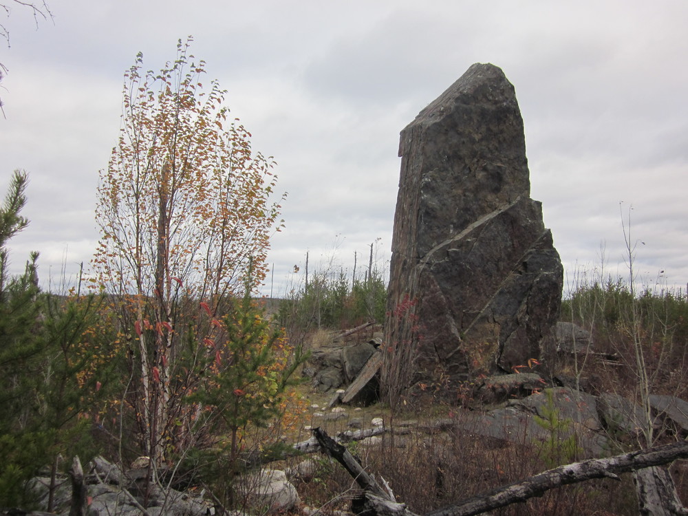
The area felt haunted, watched, creepy. I saw no animals but they were there. The rock itself was creepy too. To my vast disappointment, the magnet I carried did nothing when I stuck it to the rock.
Soon after, I reached my car. My 2015 trail was complete — not as I had envisioned it, but magical nonetheless.
On a BWCA kick? Check out:
