The Living Free, Not Dying Edition

Background situation:
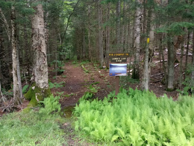
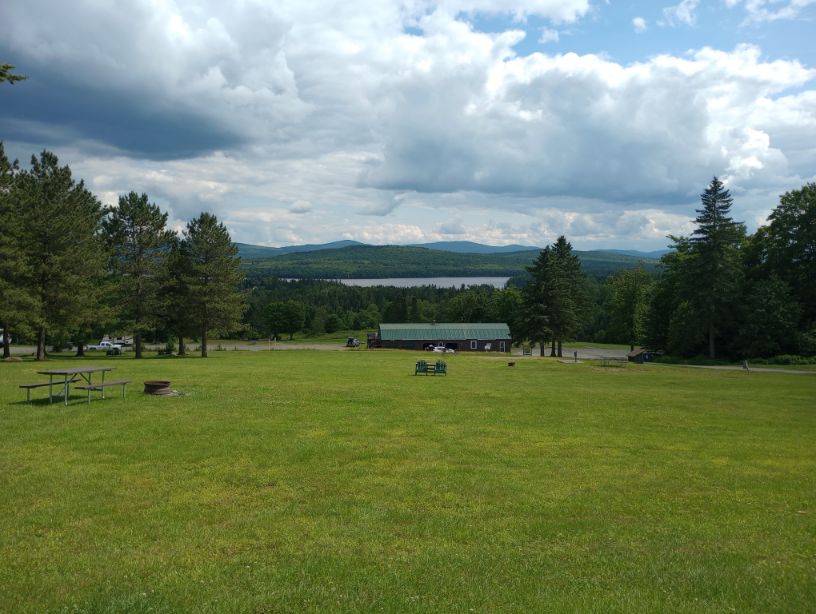
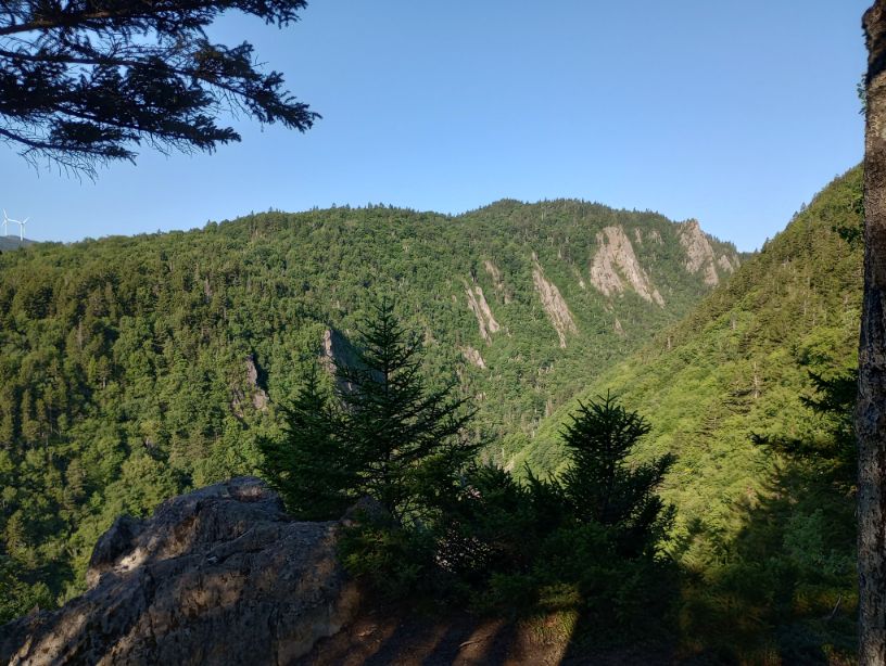
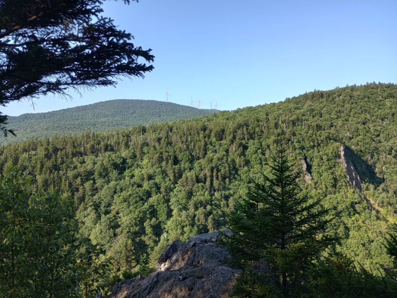
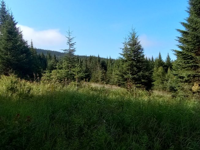
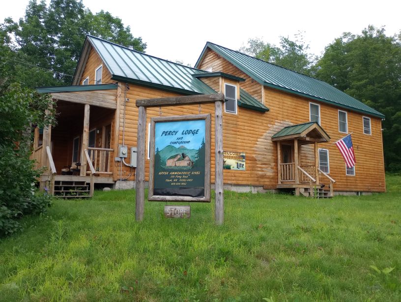
The Cohos Trail is a 170-mile trail through Coos County in New Hampshire. It had been on my dream list of hikes for nearly a decade, but due to its length and logistics, it was a hard sell when I had limited vacation time from my job. A faster hiker than I would have no problems, but I didn’t want to rush my time on this trail.
My time on the Cohos Trail was shadowed by the terrible weather I encountered in 2023. Although (spoiler alert) I had a pretty bad time on the trail, it was mainly due to weather. I doubt anyone could have enjoyed any local trail during the time I hiked. Because of the weather, the trail I experienced is not at all what you would likely encounter, at least south of Stark. I had to make decisions for my safety and sanity and I would make those same decisions again.
For this reason, I’m not compiling a page of advice for this trail. I don’t feel I have anything useful to say, other than the shelter network is great and make sure you have georeferenced maps.
I wasn’t going to start the trail until July 19 because I was supposed to hike the Sentiers Frontaliers in Quebec to connect to the Cohos Trail. However, given the forecast and its extreme remoteness, I opted to skip Sentiers Frontaliers entirely, and I am very glad I did. Instead, my hiking partner (though not for this trip) gistrailblazer dropped me off in New Hampshire instead of Quebec. Thanks.
Because I began my hike early, I had to go slow in the beginning. There are few legal camping areas in northern Coos County, and you must camp legally. I had made lots of reservations for camping, and the fees for changing reservations were extremely prohibitive. The better option was to just go very slow until I caught up with the reservations. Luckily, I had an e-reader with hundreds of books.
And now onto…
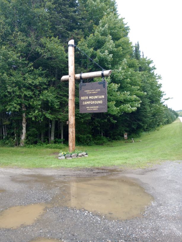
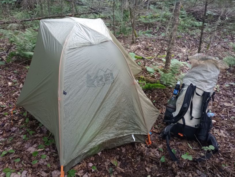
Day 1, July 17, Deer Mountain Campground
Due to intense, terrifying rains, it was not a restful night. A world-drowning flood made us stay up late, listening to the weather radio and worrying that we would need to evacuate the campground. I would not have wanted to be any closer to the Connecticut River than we were. As it was, I woke up panicking every couple of hours.
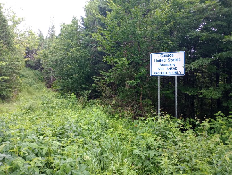
In the morning, the footprint of the rains was everywhere, but it was time to get dropped off. I left most of my gear in my tent and Richard drove me to the border.

The map showed that it was a significantly shorter hike than it turned out to be. Richard joined me for the out-and-back, and it was a little eerie hiking along the damp border, so I was glad to have company.

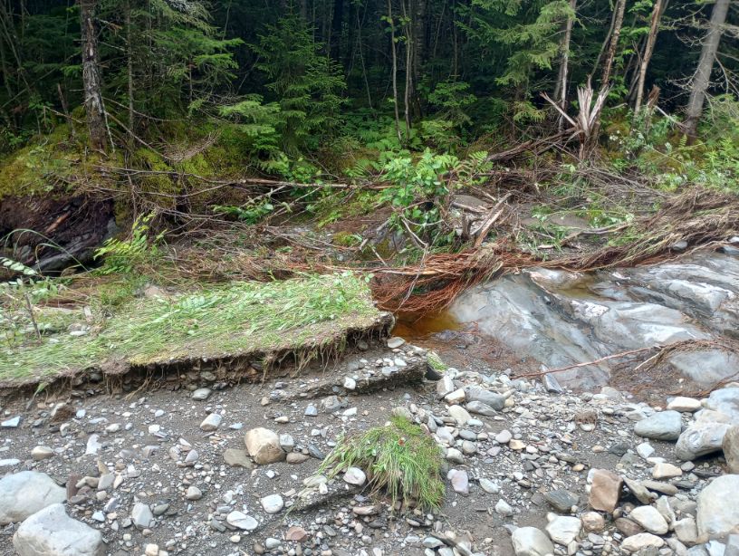
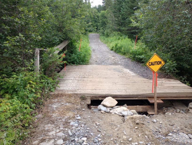
We returned from this out-and-back section, said goodbye, and I continued hiking south alone to rejoin my stuff at Deer Mountain Campground. The trail was overgrown and messy on a snowmobile trail, then on an old road with many culverts washed out. Crossing some of them was interesting, given the high water levels.


The day’s seven miles went pretty quickly nonetheless and I was soon back at Deer Mountain Campground. It was wetter than it had been 24 hours before, but it was still standing. And honestly, given the rain the night before, I didn’t take that for granted.
Day 2, July 18, Tillotson Hut
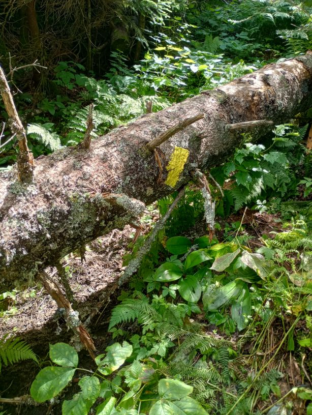
I left camp around 5:20AM. The forecast was pretty bad, and I had every intention to get every possible dry mile in that I could. For a few miles, I had optimistic feelings about the day; although its route was on an overgrown snowmobile trail, it soon turned up onto singletrack. But when I crossed a road, I hit a downed tree on a slope that I could not get over or under, or even around. I struggled for many minutes when, 100 feet below me, a car drove by. I shrugged and became a yellow-blazer on Day 2. This was only the beginning of my Cohos Trail sinning. Seriously, if you’re a trail purist, you should just stop reading.
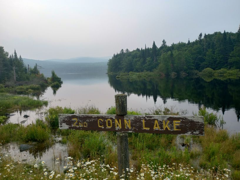

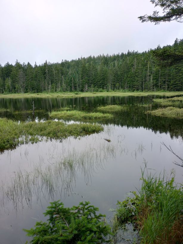
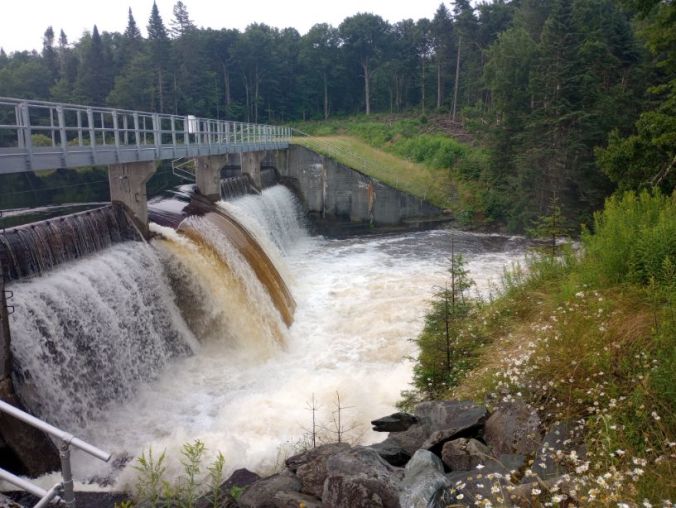
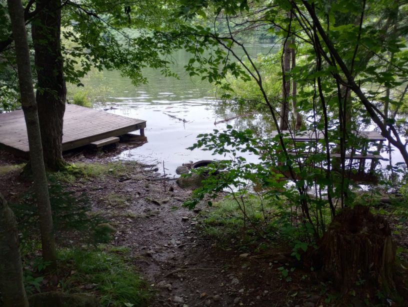
I rejoined the trail briefly at Second Connecticut Lake Trail, but soon found that the trail itself was completely submerged thanks to the earlier rains. It wasn’t merely wet – it was quite literally in the lake. I got to the dam and its roar was insane.
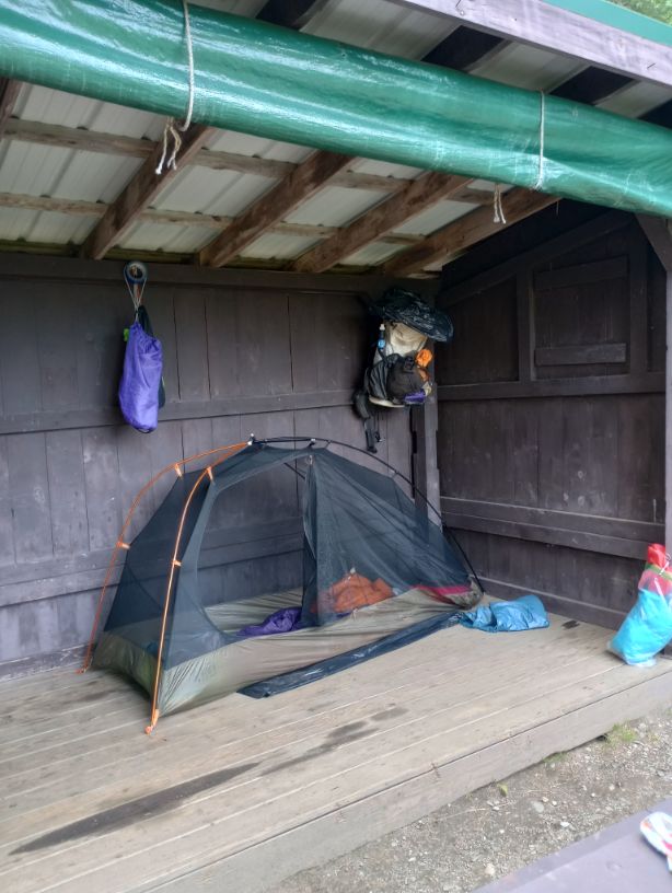
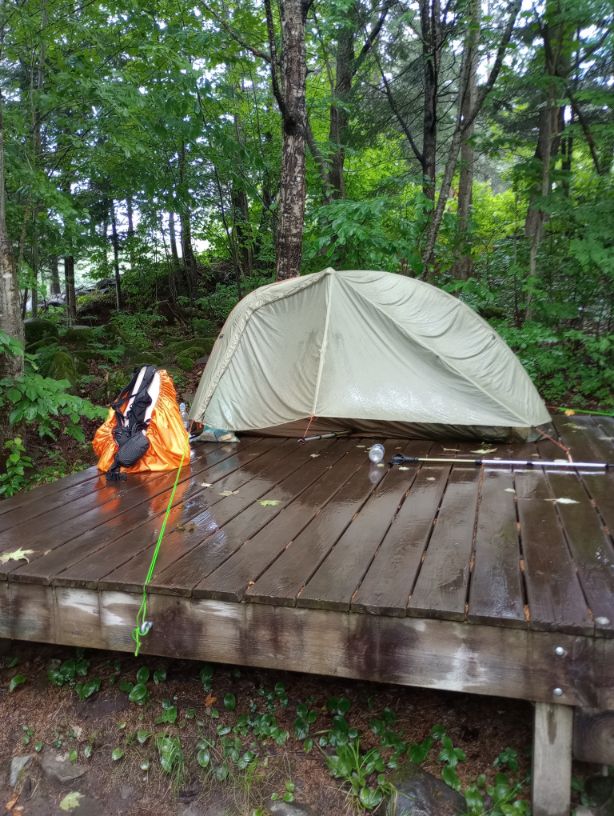
As I continued on the trail, dark clouds were rolling in. I hiked as quickly as I could to the shelter, arriving just after 9AM. Within an hour of arriving, a deluge began that rivaled the storm a couple of days prior. I sat in the shelter and watched lightning and listened to thunder, so incredibly grateful that I had gotten an early start.
Eventually the storm cleared and the day was beautiful. Did I feel a little silly for staying at the hut and not continuing on? I did. But I had so many camping reservations ahead of me- there was no point in going farther.
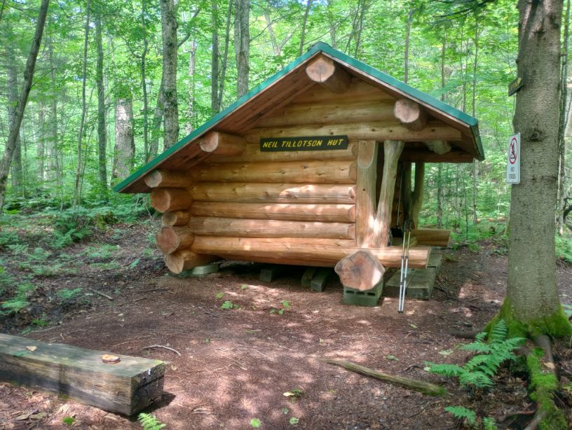
Day 3, July 19, Tillotson Hut
This was a day I would have needed had I been hiking Sentiers Frontaliers, but instead, I hung out at the shelter, painted, played my tin whistle, and visited with other hikers. Beginning the following day, I would be all caught up and on track for my reservations.
Day 4, July 20, Ramblewood Campground
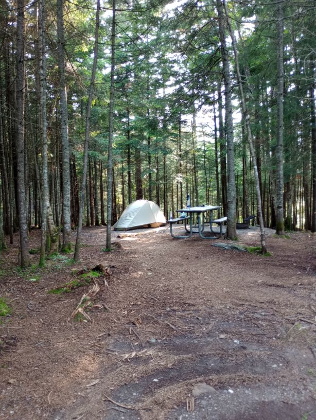
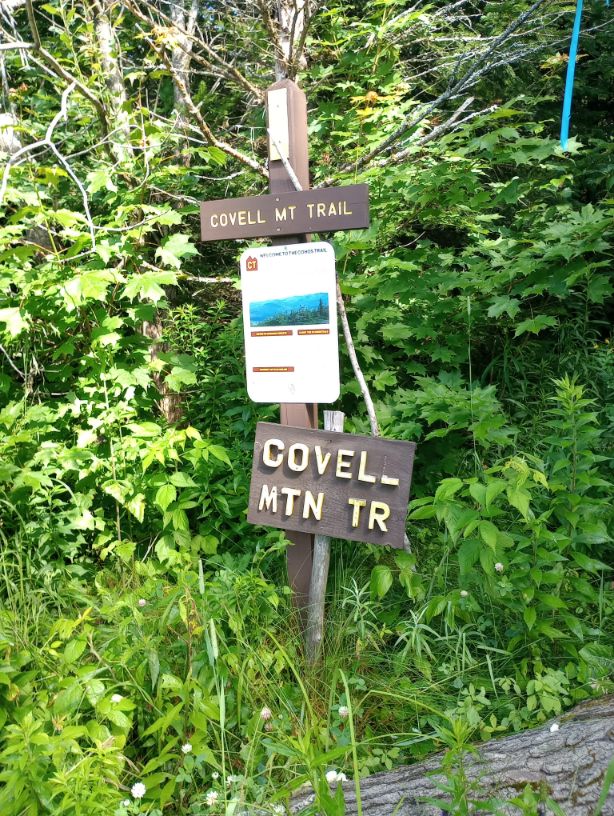
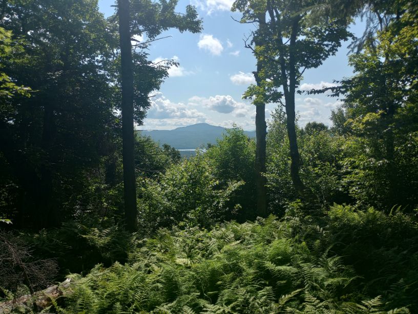
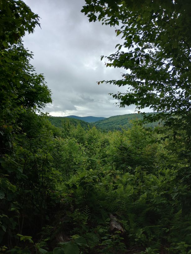
Hooray! Moving again. I awoke very early but had shared the space with other hikers and didn’t want to disturb them. I waited until everyone was up before I packed. I meandered to Covell Mountain, enjoyed views and fun ledges in the woods, and found my way on the Ramblewood trails to Ramblewood Campground.
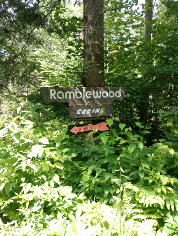
They were incredibly friendly and let me check into my shelter early. Because the whole thing was mine, I could set up my tent inside (a major faux-pas in public shelters) and I read The Last Cuentista in one sitting. I also did laundry and charged my phone. Really the only bad part of the day was the upcoming forecast.

Day 5, July 21, Lake Francis State Park
The day started with mud. I had no idea how easy I had it at the time. I was only beginning to understand the mud of the Cohos Trail.


I ate breakfast at Young’s Store and bought a couple of goodies. I walked to Lake Francis where I had a reservation. Despite being on a platform, I managed to get my tent set up ten minutes before the rain burst through. It shook the platform I was on. Multiple campsites were underwater and I kept peeking outside to see if mine was next.
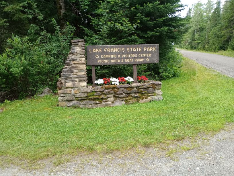
My heart really wanted to continue onto Coleman State Park today, but the weather would have been one heck of a battle. When the lightning got too wild, I retreated into the visitor center and found a corner to sit in and read. The staff were amazing and didn’t make me feel like a burden.
Day 6, July 22, Coleman State Park
Storms rolled in at 10PM and I laid on my sleeping pad wondering if they would ever stop, but luckily I managed to get almost 8 hours of sleep despite their efforts. I was fully aware, upon waking up, that most people hiking the Cohos Trail make it to Coleman in half the time I did. I felt behind, but I was, finally, really on schedule. There are many ways to hike, and it was really fun to have this slow start.
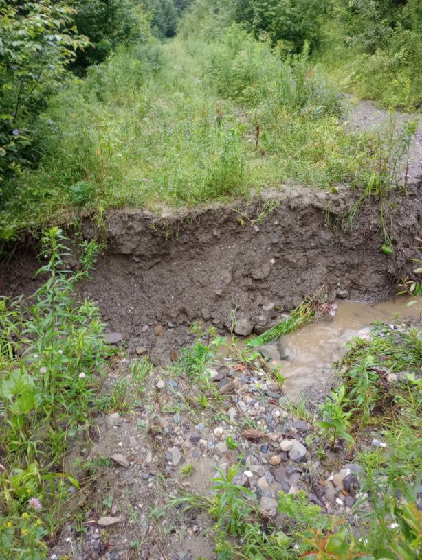
I left the park at 5:45AM and hiked the Lake Francis Trail. Part of it was in the lake, but I was so hopelessly wet that it didn’t matter. There were blown culverts, but I climbed over and around the issues. It was okay. There were random holes in the ground, but I managed to not twist an ankle. I suspect the holes were from moose who had sunk into the soft ground.
A short roadwalk connected me to Nilsen’s Leg, a piece of trail I was excited to see because it was a fairly new piece that made the connection to Coleman State Park much easier. It was 1.8 miles.
Alas. It felt like at least 3 miles. The mud was insane. The trail appeared to have been laid out without consideration for erosion issues. At one point I encountered mud to my hips and no way to avoid it. Slopes were steep and my nerves were fraying.
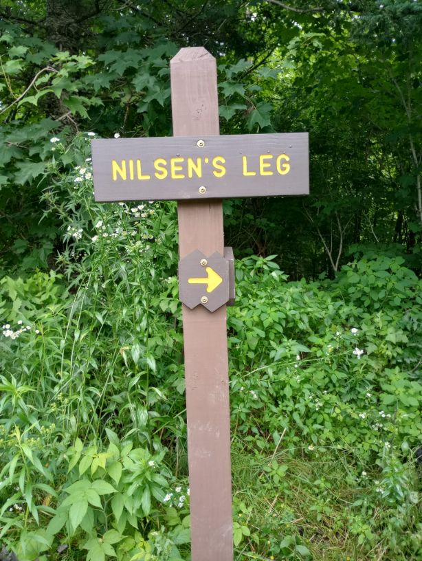
I was so beat up by Nilsen’s Leg that I took a wrong turn, but I caught it quickly and enjoyed a brief respite on an ATV trail. I had been moving as fast as I could to beat some dark clouds, but rain held off for once. I turned off the ATV trail onto a foot trail, which had even been mowed recently – impressive and appreciated. I climbed up Deadwater Ridge and really loved that area. It helped that it was fairly dry.
The rain hit when I was in my final mile. I was actually really happy – I could have been in rain all day. That’s what the forecast said. So to only have a mile of rain? Fabulous.
I arrived at Coleman State Park and had a little trouble checking in because the visitor center was closed and I had to walk a fair distance downhill (and then back up). But I got checked in, got quarters so I could do laundry (I was a muddy wreck) and I got a ginger ale. The dream.
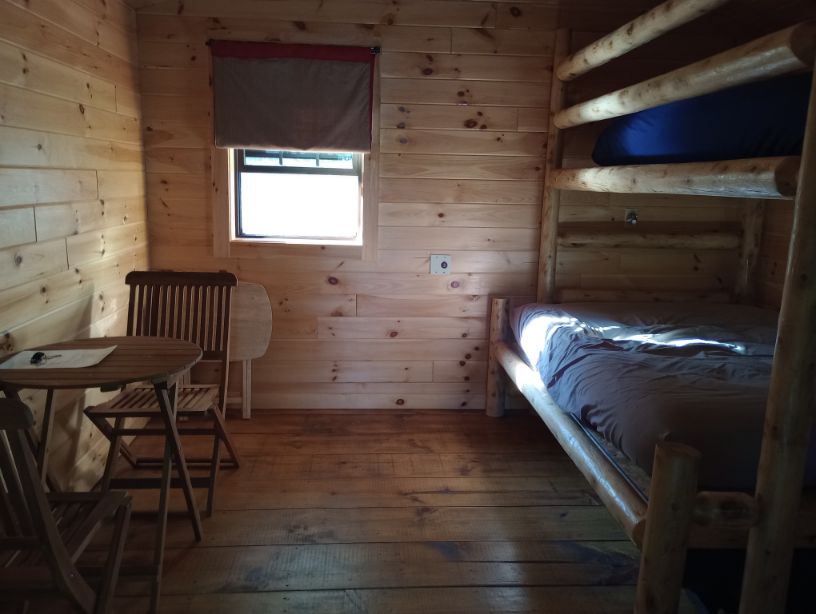
I had a really cute, small cabin. When I had booked this accommodation, I realized that the cost for a cabin was about twice the cost of a campsite, and a campsite wasn’t much, so it made more sense to get a roof. I thanked past me profusely for that splurge. I strung everything out to dry. I was ecstatic to see that the cabin “with no power” actually had a USB charger, so I could charge up my phone. It was a perfect place to stay, and very affordable.
Day 7, July 23, Panorama Shelter
In my journal, I wrote, “No way on God’s muddy earth was that mileage accurate.” Maybe it was, but it was an absolute butt-kicker.

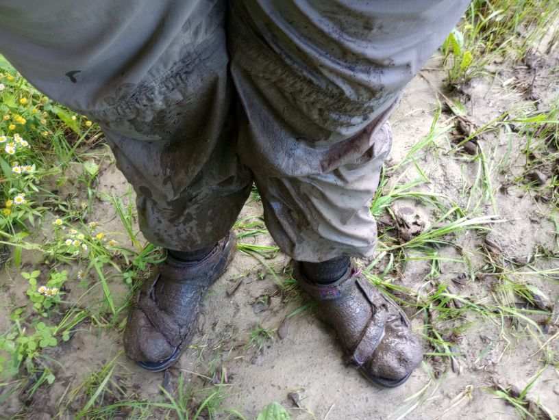
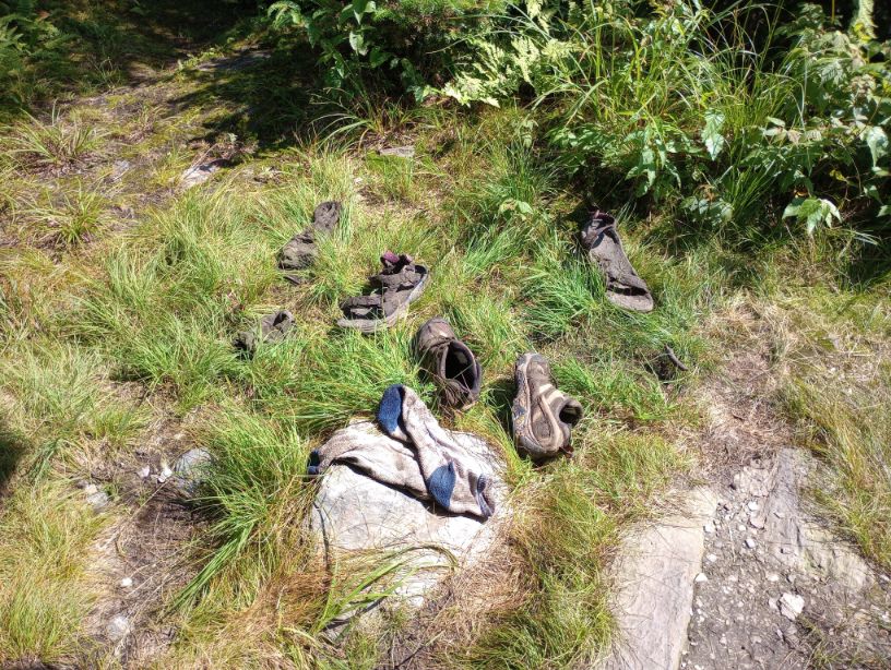
I got a late start because I didn’t have far to go. I got a breakfast sandwich and took my time. The trail, of course, was a bit overgrown, but then I hit a logged portions. At one point in a logged area I sank into mud and as I pulled my foot out, my sandal snapped in two pieces. I have hiked thousands of miles in sandals and this is the first true failure I’ve ever experienced. Of course, I don’t only hike in sandals; the conditions have to be right.


I changed into my shoes and packed my sandals, heavy with mud, in my pack. But then I hit a patch of knee-deep mud and I sunk. My foot plunged in and was lost in La Brea and I couldn’t get it out. I eventually got it out, but my shoe stayed inside the mud. Frantic to not lose my last pair of footwear, I sank to my knees and scrambled to claw it out. So much for the shower I’d had the day before.
I had about one really nice mile with great views and sunshine. Then, as I was swatting the overgrowth away, a bug of some sort bit my finger and it swelled up to nearly twice its normal size – a reaction I’d never had before. I concluded that either I was going to die or I wasn’t, and if I did die, at least I wouldn’t have to keep hiking.
The final climb was a messy, buggy insult. I arrived at Panorama Shelter and collapsed.

Day 8, July 24, Baldhead Lean-To
It was a tough night. After the day’s sunshine, it rained all night. I was so grateful to have a roof over my head, but all I could think about were a couple of unbridged crossings I was going to have the next day. I allowed myself a few tears of frustration to mix in with the rainwater. I’d heard that a piece of trail ahead of me could be really dangerous when wet, and the rain was relentless.
In the morning I faced a little climb to Sanguinary Mountain. The descent was very long and muddy; I was very tempted by a “low route” sign, even though I knew it wasn’t getting maintained. I met no one as I descended to the Flume. “Descended” is a very calm word; “plummet” might be more accurate: I was clinging to trees because the ground was so unstable and everything was soaking wet.
Once finally at the bottom, I had second breakfast and chatted with some visitors. A hiker confirmed that water was extremely high and advised against any possible water crossing that didn’t have a bridge. I stared at my map, unsure what to do.
Thanks to some amazing trail magic from a wonderful person named Melody, I ended up taking a slightly altered route up the next mountain which allowed me to avoid unbridged crossings. It was a hot day, and I climbed and climbed, but I didn’t have the anxiety of sliding off the mountain or down a stream.

The final two miles of the day took nearly as many hours. The trail was its same old steep self, involving some climbing up tree roots. I also stopped to fill up every bit of water because the shelter I was aiming for has no water source.
I arrived at the shelter as huge clouds blew in. Distant thunder stayed far enough away to tell me that staying put was the right answer.


Day 9, July 25, Old Hermit Shelter
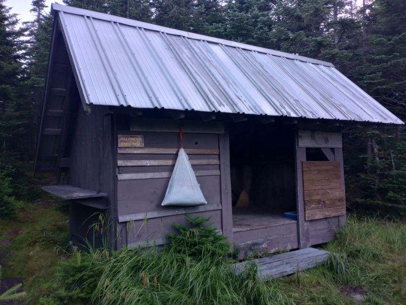
It poured most of the night. How can this trail still have any capacity to deal with water? If it weren’t for the shelter network, I’d have thrown in the towel ages ago in favor of a real tower. As it was, the trail was so wet that staying on my feet was hard, and I had one tough fall.

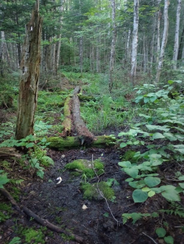
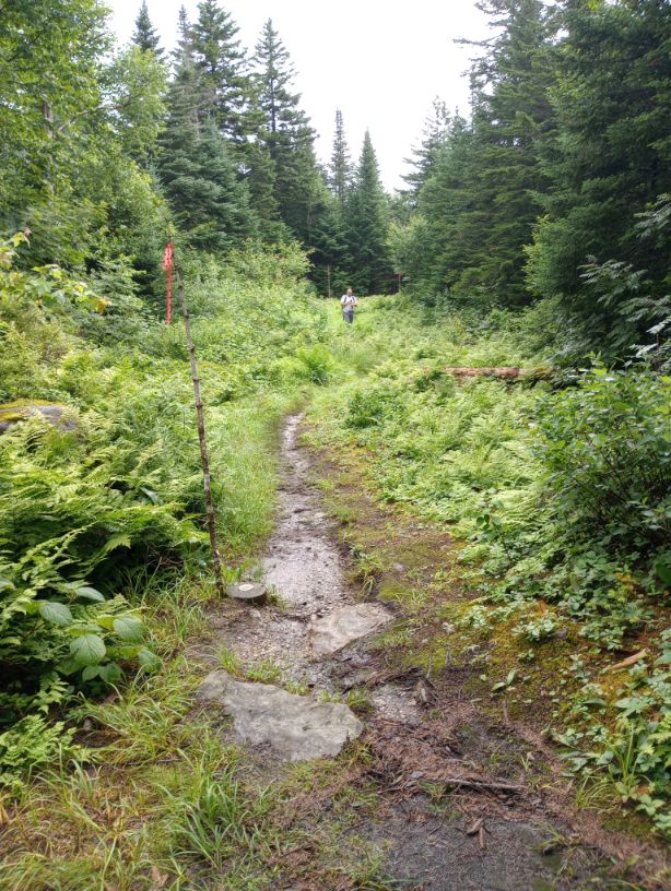
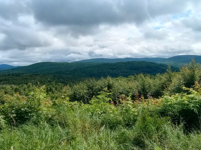
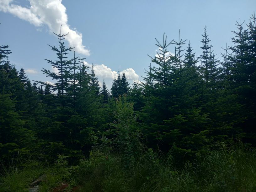
It took approximately forever to reach Gadwah Notch and from there, the trail completely disintegrated. It was covered in long wet grass past my hips. Occasionally there was a bog bridge, but there was so much water on the trail that the bridges were mostly tripping hazards. As I had seen a lot of on the Cohos, there just weren’t great opportunities for water to leave the trail, so the trail itself hung onto water. On the plus side, some of the views were beautiful.

Things improved a bit on the other side of Nash Stream road, which the trail paralleled (kind of) for awhile. When I crossed it again and had a short climb to Old Hermit Shelter, I was thrilled to get into the shelter by noon.
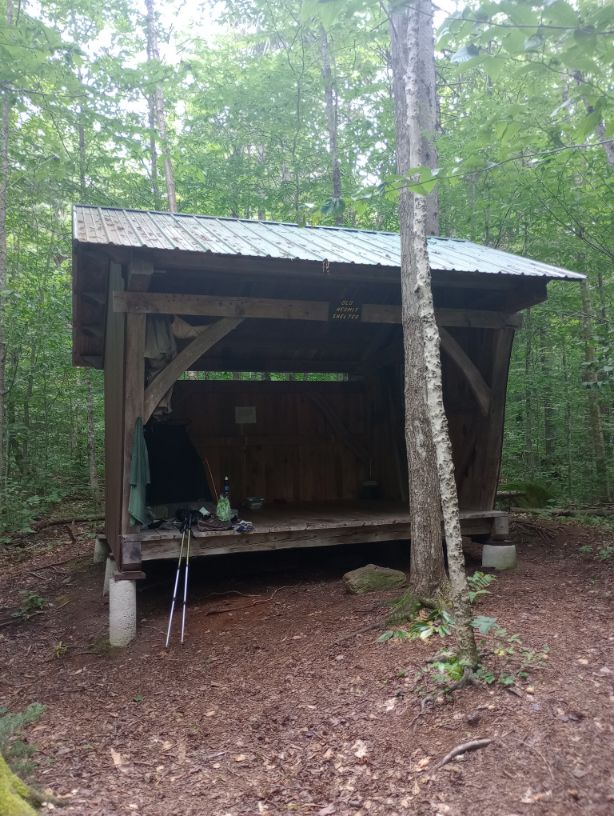
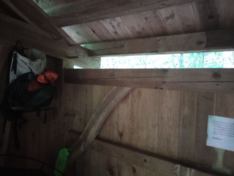
My feet were toast after being wet all day, but Old Hermit was such a great place to rest up and heal. In the sunshine, I laid out every wet thing I owned, which was most things I owned.
Day 10, July 26, Devil’s Rest Shelter
Buckets of water fell onto the shelter last night; it rained as if the sky had cracked open and would never close again. I awoke at 4AM, looked at the time, and delayed getting up to see if things would calm down. I got on trail around 6AM and had to laugh because why did I even bother drying my things the night before?
My hike today took me back across Nash Stream Road and up to the Percy Peaks, though I skipped the side-trails to the summits. The trail and I were both so drenched that I didn’t have the bandwidth to care about the beautiful day that was only threatening to rain and only rarely misting.


It was incredibly windy, but as I approached the shelter I heard a distant loon, likely on nearby Christine Lake. It cleared up and I had a moment of sunshine.
Day 11, July 27, Percy
I had a maildrop to pick up in Percy, and I needed to rest deeply. None of my hiking days had been terribly long, but they had taken a lot out of me, I was disheartened by what I was hearing from hikers coming north; reports for the upcoming section were dire. One popular camping area was underwater; a bridge had washed away, and much of the next section was totally waterlogged.

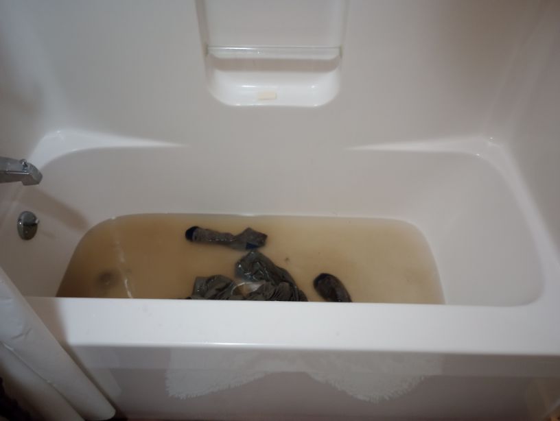
I spent the day washing laundry in the tub, catching up on correspondence, and looking at maps trying to find a workaround. I had not, so far, had a terribly “pure” thruhike – but it had all been connected by foot and any deviation had been due to safety and sanity.
I was completely fried. My body felt ready to hike – my mind wanted to hike – but the forecast wouldn’t let up. In fact, more bad weather was coming, and coming at a time when I was likely to be in the White Mountains facing a sketchy water crossing… facing fewer places to camp and more competition for them… with no shelter network like I’d had. I can’t stress enough that if not for the amazing CT shelters, I’d have had to get off-trail before this time.
I looked at my maps and realized I was not going to finish the Cohos Trail. It was a bitter pill; I had been dreaming of this trail for over a decade. I had read so many reports of great experiences, but I had to admit that I found myself getting very angry at the trail, particularly in the lack of water management. That wasn’t a fair emotion – I’m not sure that a perfectly graded and drained trail could have handled the sheer unstoppable deluge I had faced. But although it wasn’t fair (and I even knew that at the time), I was mad at the trail for the mud and slipping, the falling, and the misery.
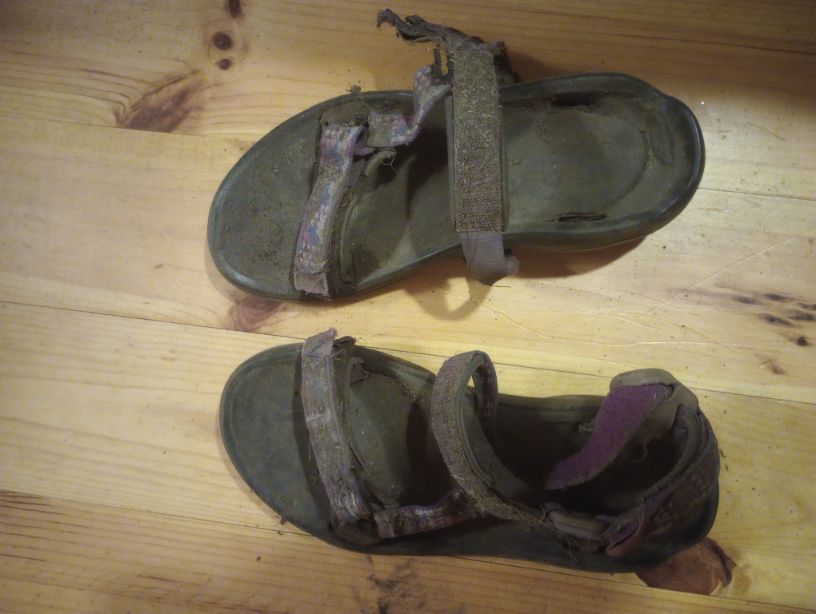
I finally said goodbye to my sandals. There had been no trash can since they broke back near Coleman State Park.
As the sun set, it began to pour. I laid in bed, head on the pillow, and swore.
Day 12-13, July 28 – 29, Stark Village Inn
Although yesterday I knew the trip could not continue as planned, today I wrote this in my journal:
“There comes a time to accept that you came to a state at precisely the wrong moment. I have hit a wall with mud. So I’m going to take it slow. I’m not going to do the river crossing in the Presidentials. I’m going to walk to Gorham instead. I’m just no longer interested in finishing the Cohos Trail. This is the Cohos Trail, Live Free Or Die Edition.”
Day 14, July 30, stealth camp in the White Mountains National Forest
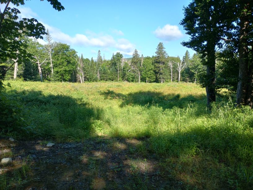
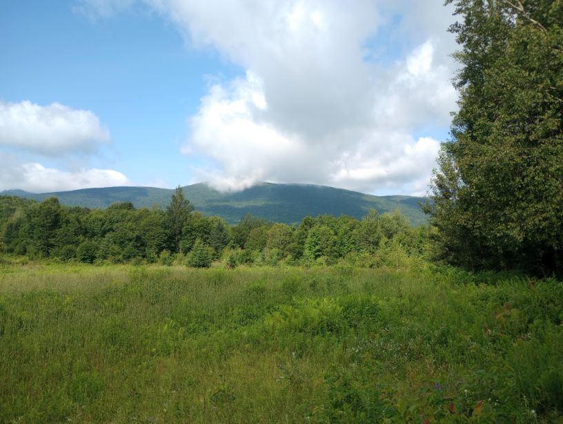
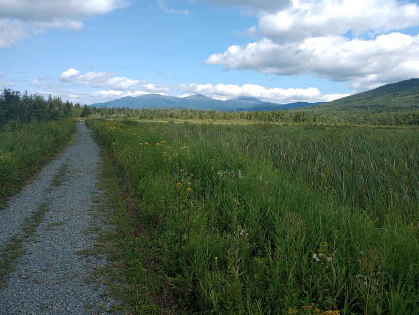
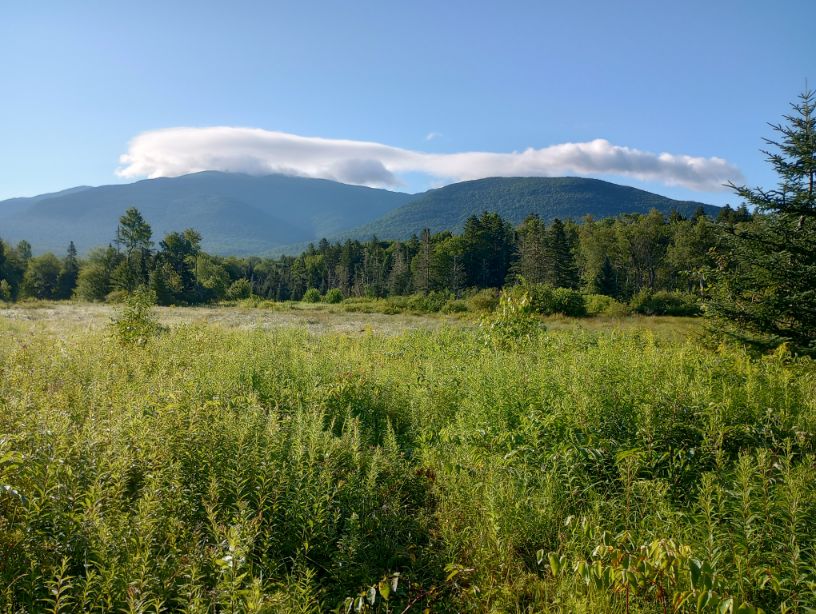
The other couple I was staying with had a big fight at midnight and got up at 4AM, so I woke up groggy and still tired. Luckily, the day was going to be a fairly easy one. I collected my box in Jefferson and followed the Cohos Trail to Whipple. Despite being on a road, the views were spectacular. The Colonel Whipple section was muddy but not awful and made me almost, almost regret my decision to Live Free Or Die.
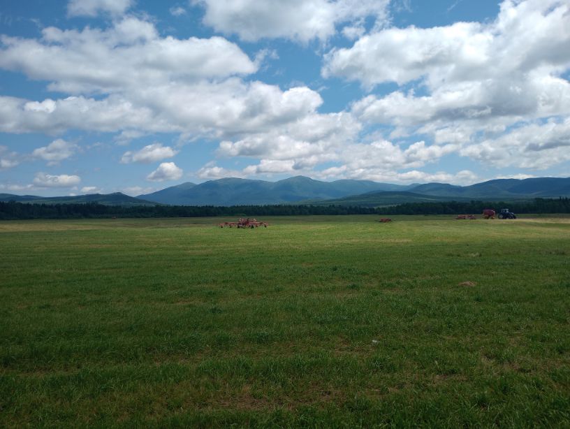
The section around Cherry Pond was pretty and I sat on the side of the trail for a long time, weighing my options. But I had made the decision days ago; I was going to choose my own adventure and miss what would normally be the highlight in any Cohos Trail thru-hike. But this wasn’t that anymore. It was going to be something else.


I got onto the Presidential Rail Trail, and when the Cohos Trail split off, I stood at the intersection, looking at the wet, slick Cohos Trail, bowed my head in grudging respect, and left it behind. I turned around one time when I was just about to get out sight of the Cohos Trail. If I made other decisions, I could revisit the stunning White Mountains, see an area I’d read about, and complete this trail. But the cost was too high. As I turned around and kept moving, I felt a weight lift from my shoulders and my heart as I walked on completely dry land.
Day 15, July 31, Mt Jefferson View Motel
Severe weather was rolling in, so I grabbed a motel room at the quirky and cute motel near the trail route. I tried but failed to have remorse for my life choices as I watched the parking lot fill with water and the flashes touch the top of the mountain. Yeah, no thanks, New Hampshire.
Day 16, August 1, Moose Brook Pond State Park Lean-To
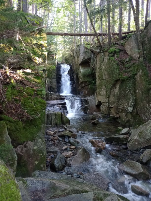
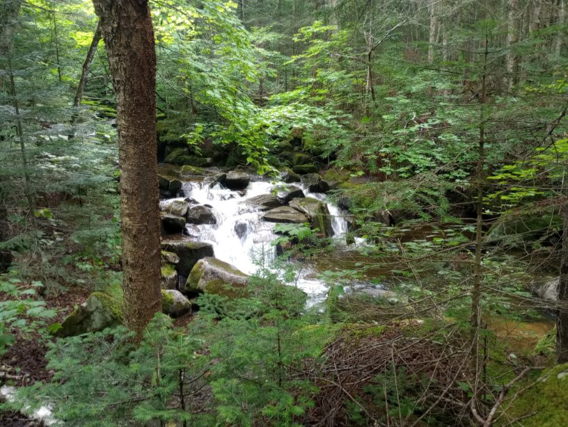
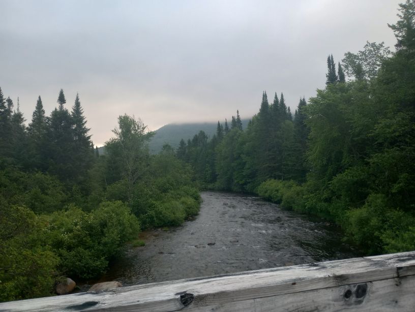
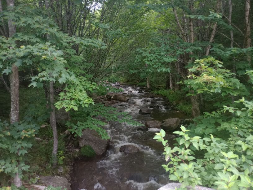
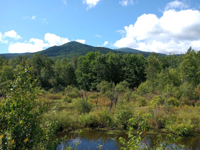
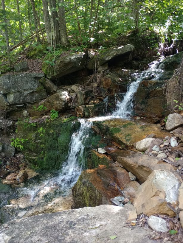
Today was one of the most fun days I had on “the Cohos Trail.” I did a little exploring in the morning and ended up back on the Presidential Rail Trail. There were so many waterfalls. The views were fantastic. I didn’t slip or fall once. Water moved off the trail.
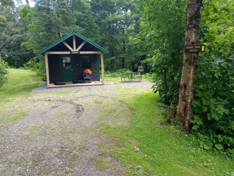
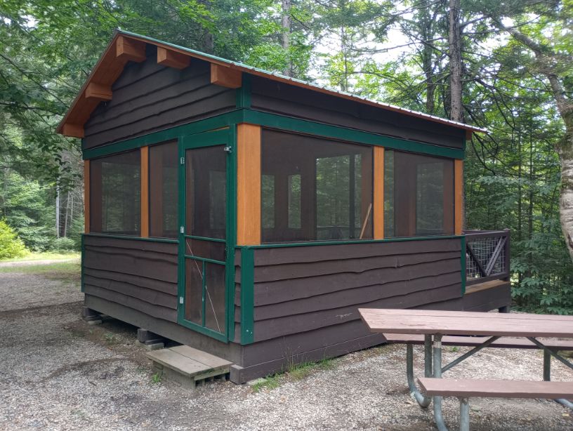
I arrived at the state park and was thrilled to find that my lean-to was actually enclosed – it was like a little cabin with bug netting instead of full walls. It was absolutely magical. I hiked around the park and had a splendid day.

Moose Brook Pond is somewhere I had never been before, and I never would have made it here if not for my Live Free or Die edition of this hike. I do not regret it.

It dipped down to 40 degrees, reminding me of yet another reason why I was not wet in my tent on top of the mountains.
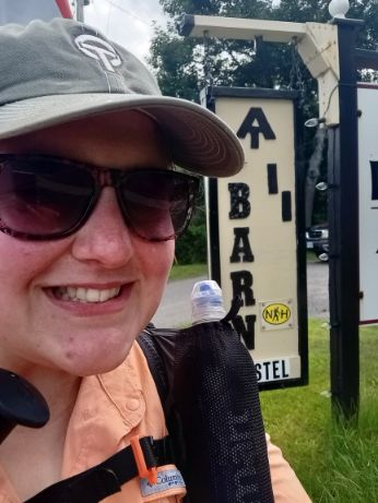
Day 17, August 2, The Barn Hostel, Gorham
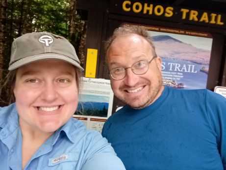
I guess The Barn is my southern terminus. I arrived before noon, had lunch and got checked in. It’s funny to be around other hikers after seeing nearly no one on the Cohos Trail, or on my little version of it.
The word in the hostel is that it was the rainiest July on record on Mount Washington. I know how to pick ’em.
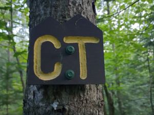
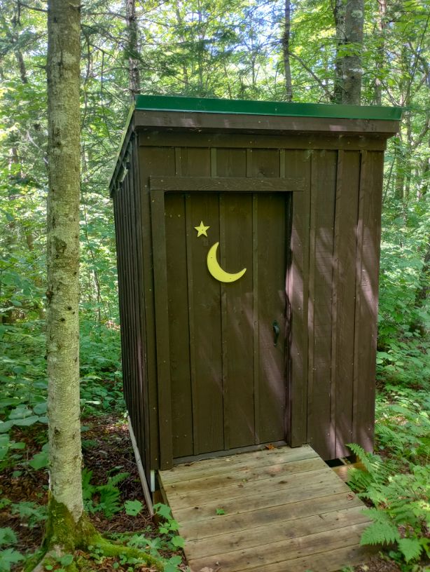
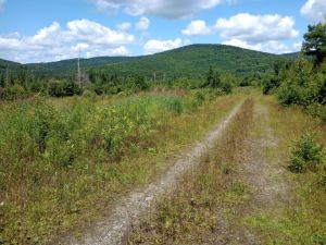
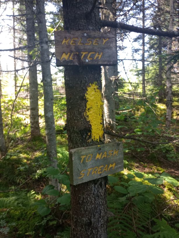
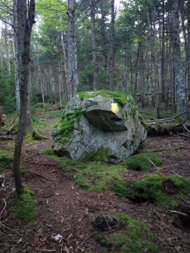
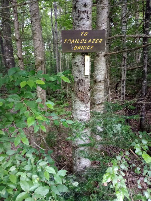
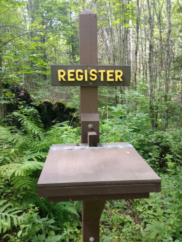
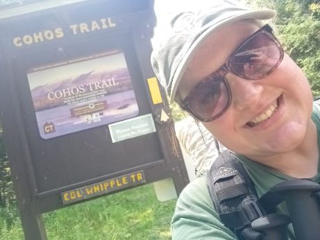
It was what it was. I loved the shelters. I loved choosing my own adventure towards the end. And I did love these cool signs.