Day 0
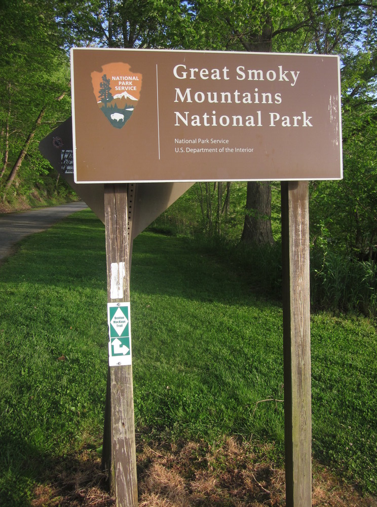
My third major trip into the Smokies started from Fontana Dam in late April 2022. I was shuttled there by the fabulous Craig at Hawk’s Hiker Haven – I was thrilled to be starting my Smokies adventure with freshly-laundered clothes and a body well-rested (and cleaned!). I had just come off of the Bartram Trail, and I was incredibly excited for the upcoming adventure!

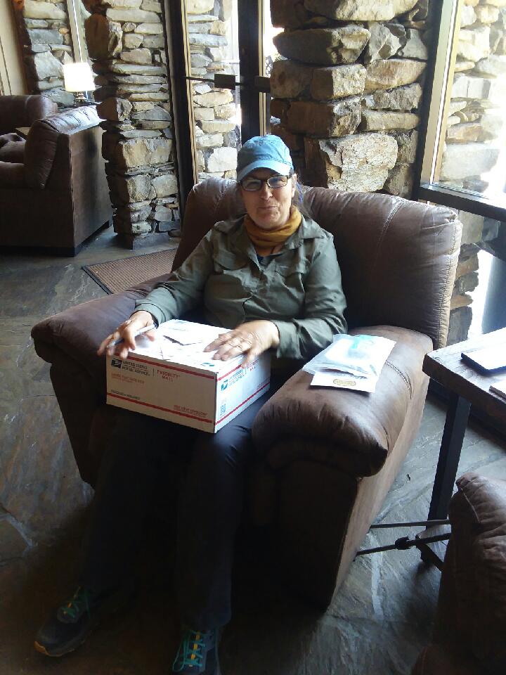
I picked up my resupply box at the very friendly Fontana Village Resort. One highlight of the day was a great lunch with Sunshine Smiles, Lead Dog, and Twigg, AT thruhikers.
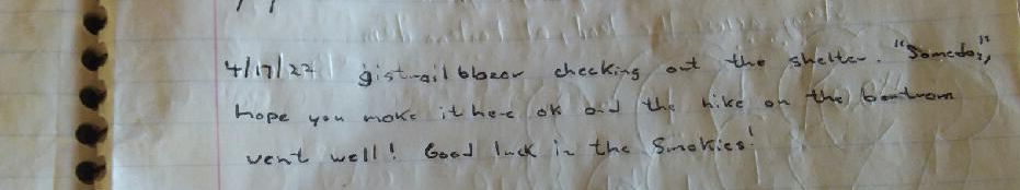
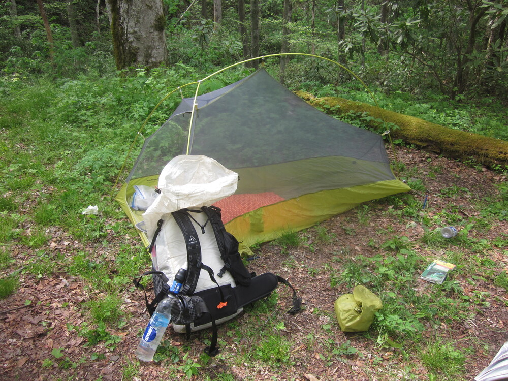
I spent the night camping near the Fontana Hilton, a swanky shelter with a shower (!), toilets, and a charging station. In the hiker log book, I found a note left for me by gistrailblazer as he was en route home from our Foothills Trail hike!
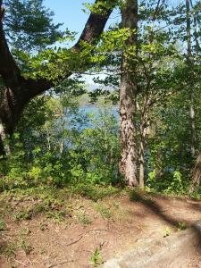
My view from the tent was pretty great.
Day 1: Fontana Dam to Campsite 85, 13.6 miles, 7.7 new miles
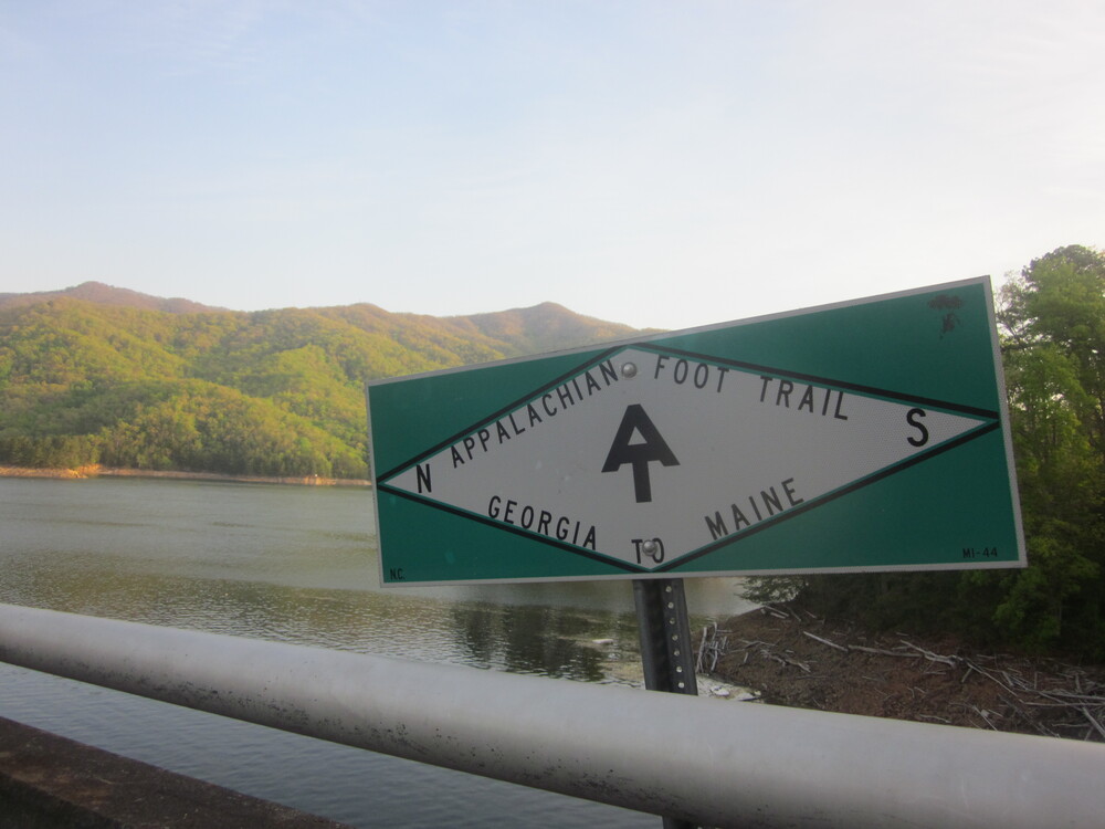
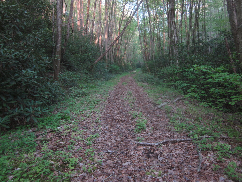
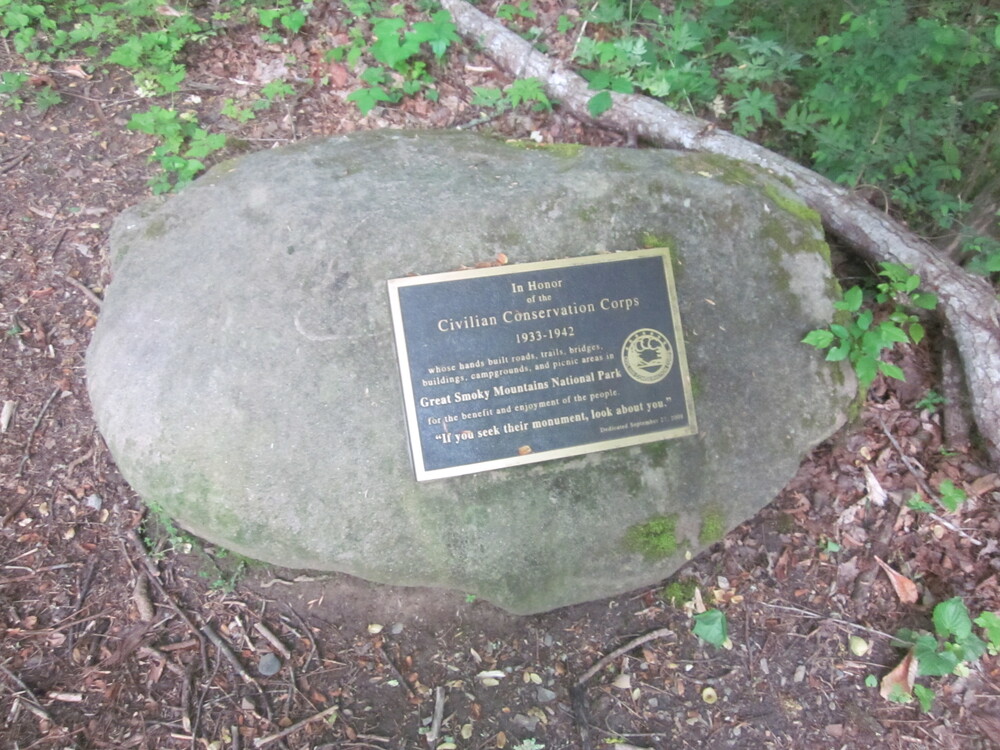
In the morning, I got up early and walked across Fontana Dam and into Great Smoky Mountains National Park. It was my third time walking across the dam but first time following this stretch of the Lakeshore Trail! The Lakeshore Trail is part of the Benton MacKaye Trail, but this portion was not part of the BMT when I hiked it in 2012. It is a much better route now!
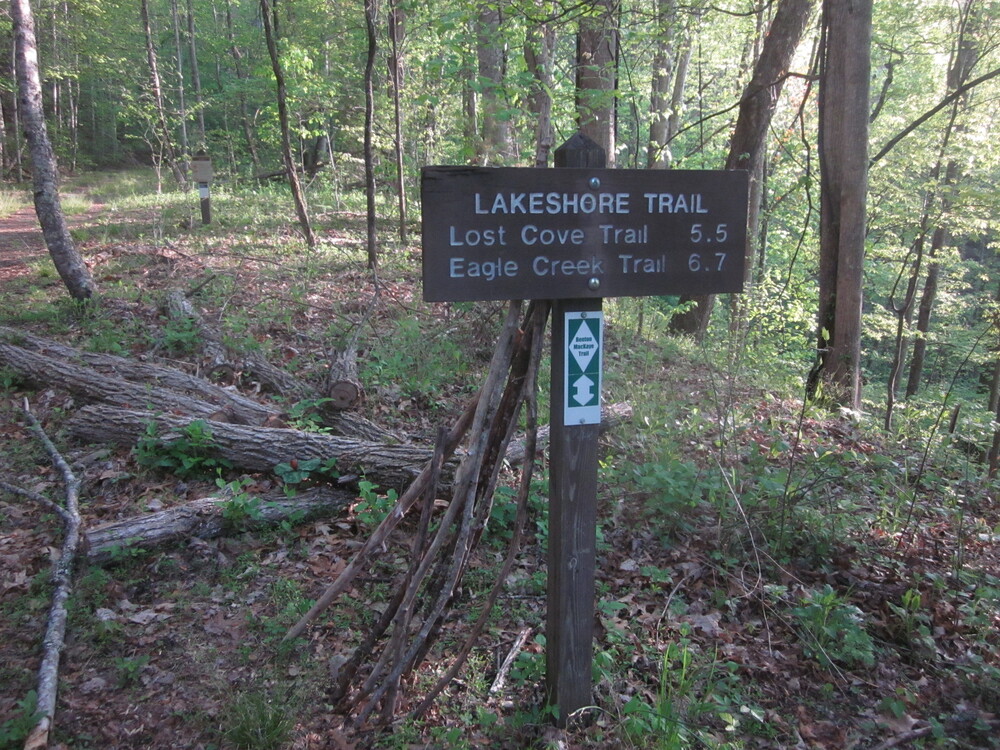
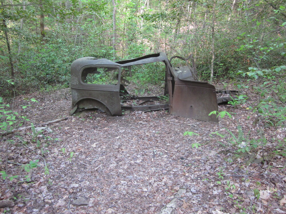
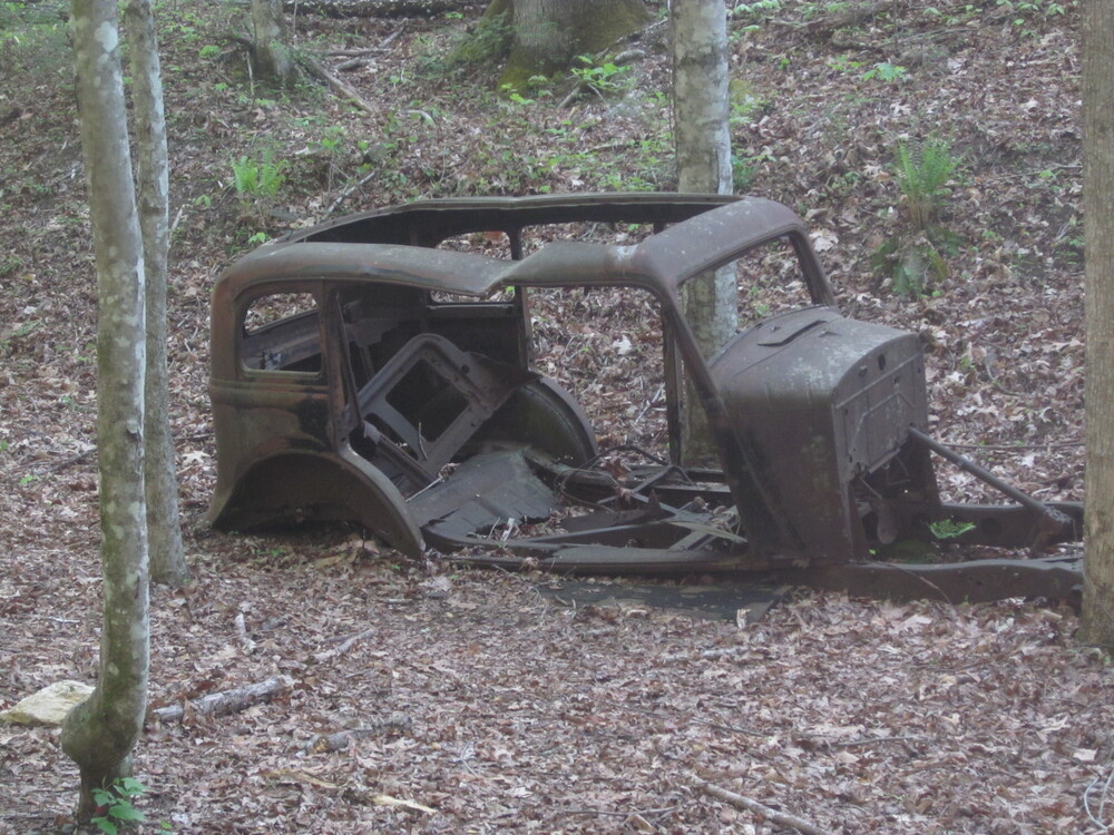
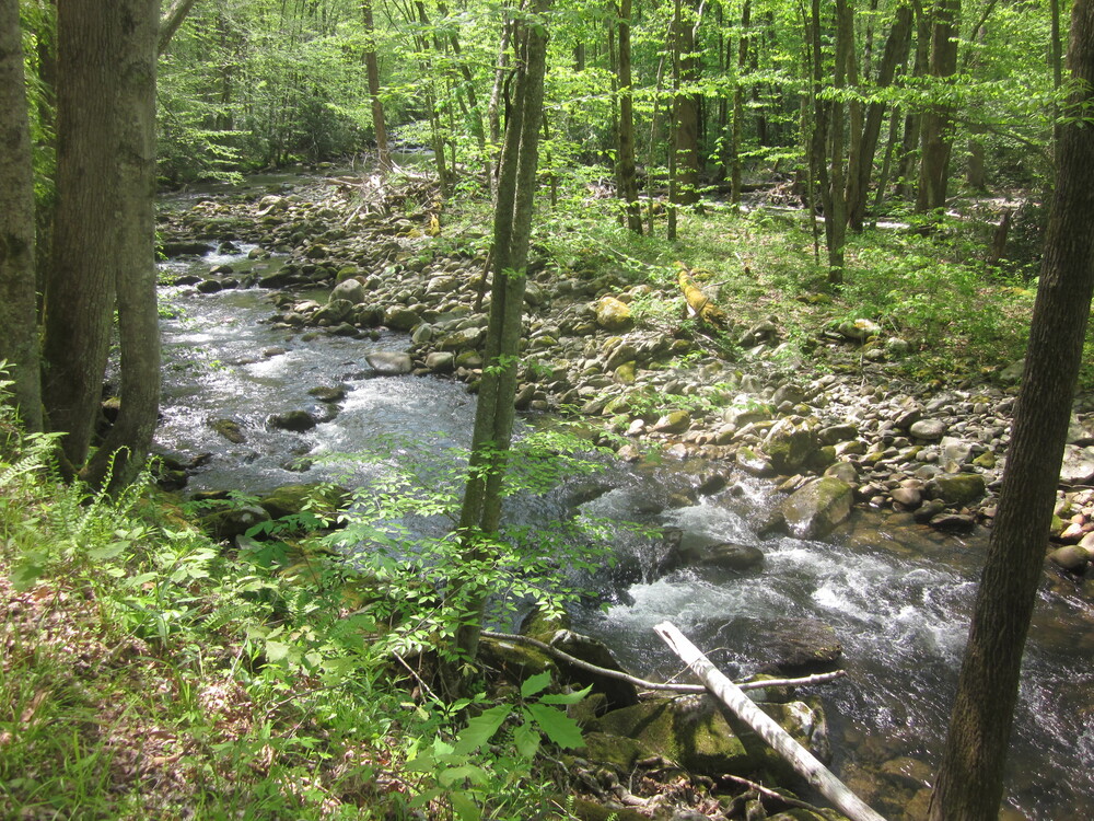
I loved this stretch of the Lakeshore Trail! I think it is the coolest area of the entire, long Lakeshore Trail. There was always something new to see. I particularly loved the old cars. Many were left behind prior to Fontana Dam’s construction. There was a rubber shortage and it was hard to get tires. That, combined with the quick pace of getting everyone out of the Smokies, means that there is a lot of detritus in the woods. And many of the trails are old roadbeds, meaning they are somewhat gentle to hike on (not always — but often).

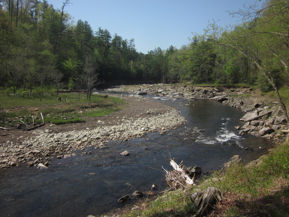
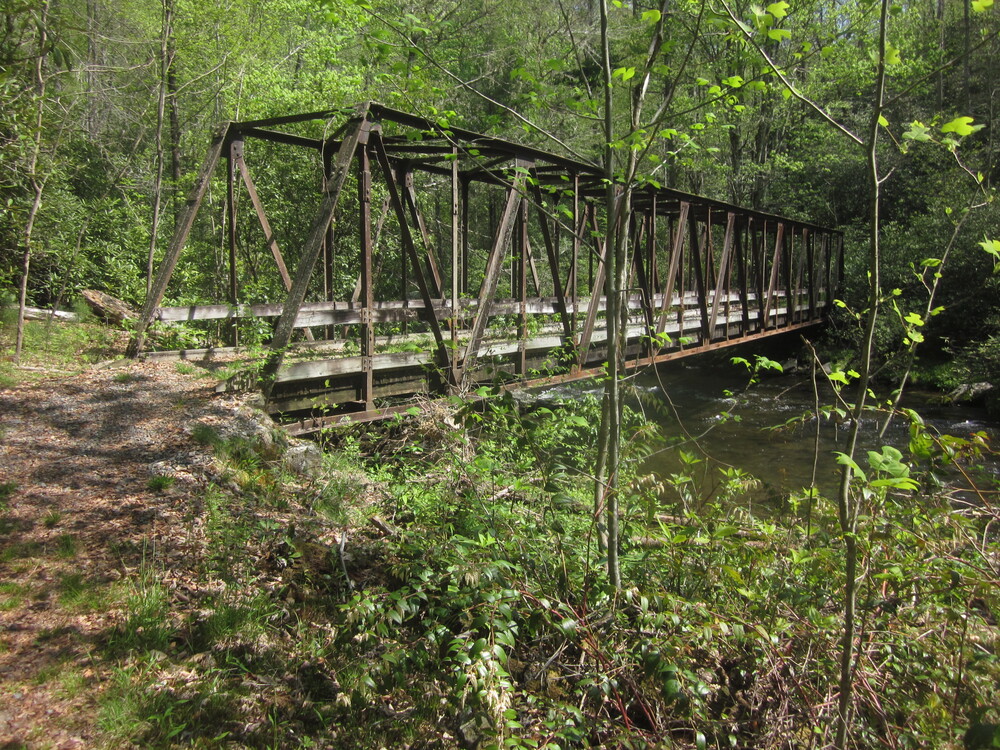
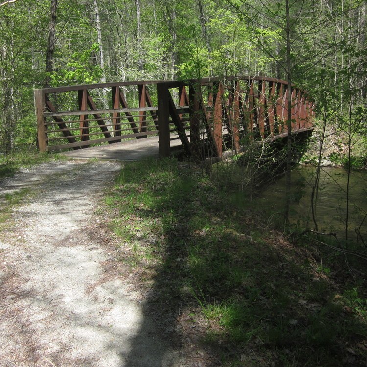
I soon met up with a piece of trail I had hiked before on my Benton MacKaye Trail hike. The route took me to one of my favorite places: the mouth of Eagle Creek, which I loved in 2012 and loved even more in 2022. I ate lunch near a railroad-style bridge while butterflies swirled around me. Idyllic AF.
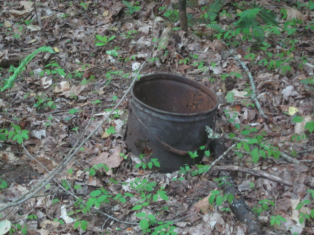
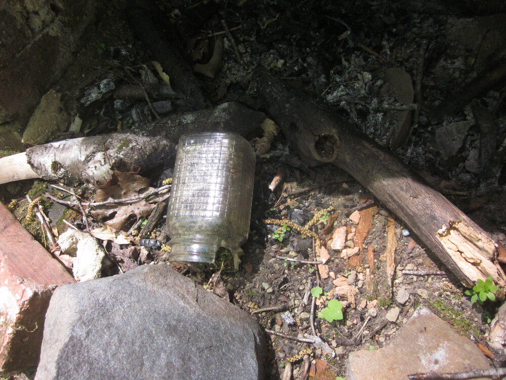
As I continued on the Lakeshore Trail, echoes of past settlements were frequent. It can be such a surprise to hike along and suddenly see a chimney. Trying to imagine what life was like before the park and dam kept my mind busy for many miles.


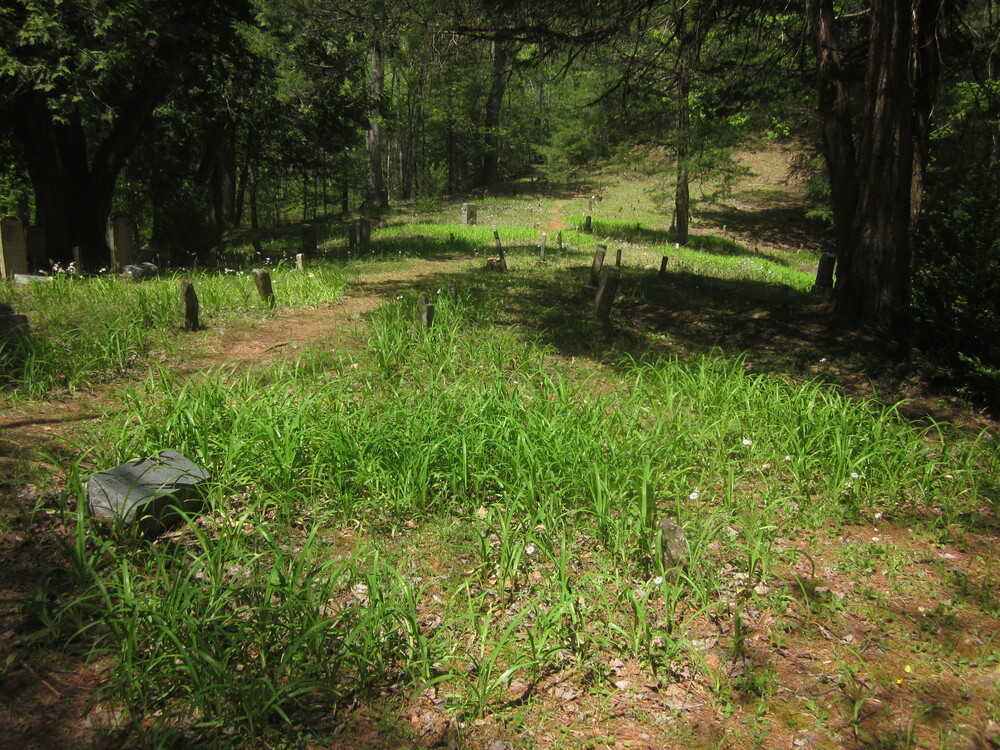
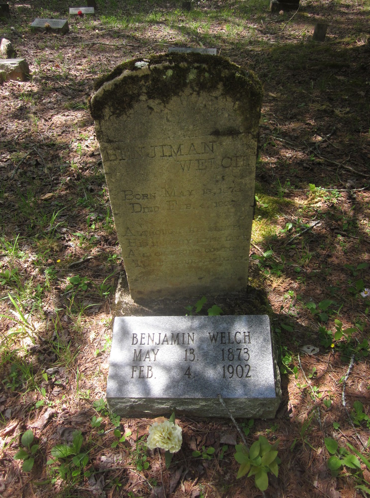
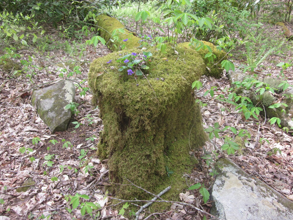
I followed some side trails to cemeteries. They are exceptionally well-kept considering that they’re in the middle of the Smokies, and I appreciated that many of the older stones had newer ones by their side. This helps to preserve the memory of those who lived here, as many of the older stones are eroding and nearly illegible. I sat at this cemetery a long time and reflected on what life had been for these people.
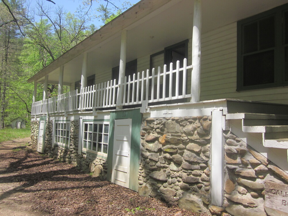
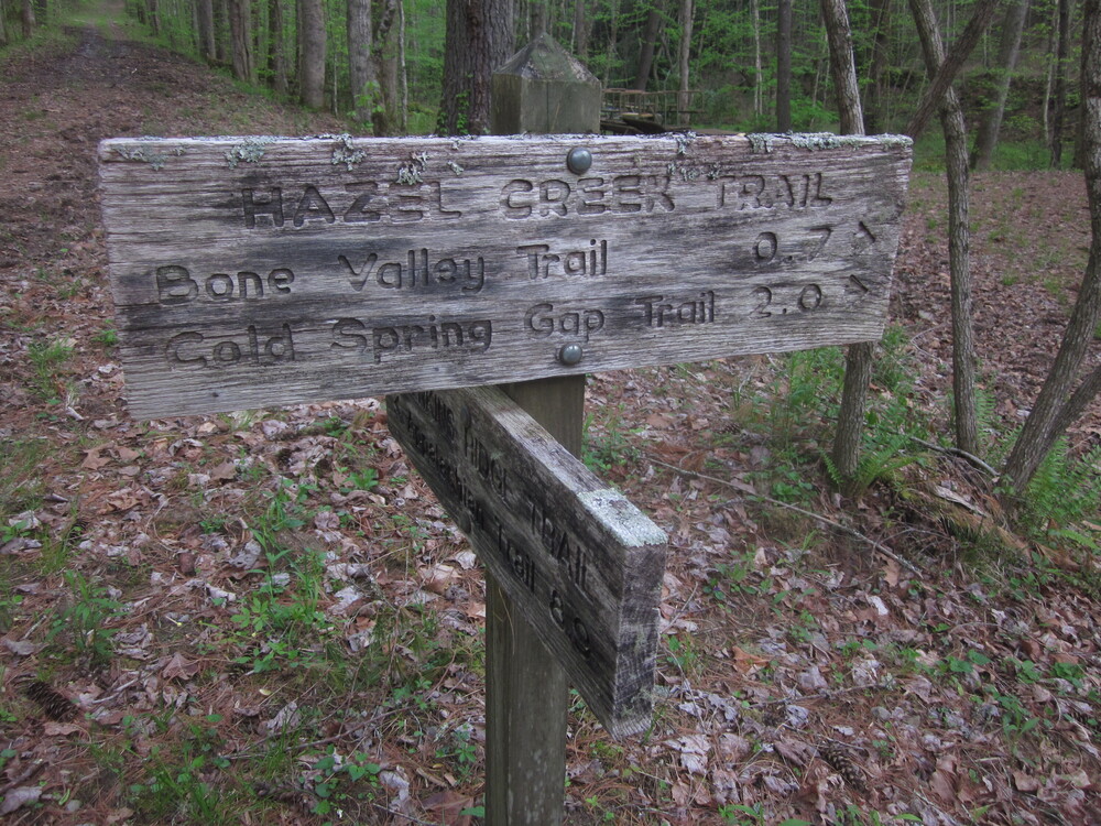
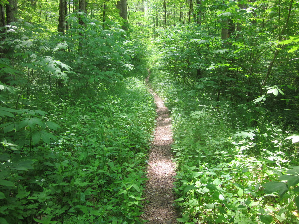
I soon passed the Calhoun House and continued up Hazel Creek. This old, wide roadbed offered the easiest hiking of the day, along with many glimmers of Hazel Creek’s past.
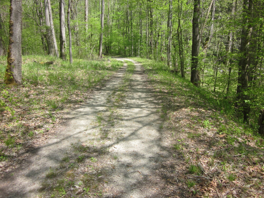
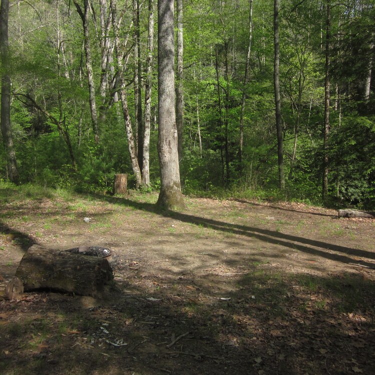
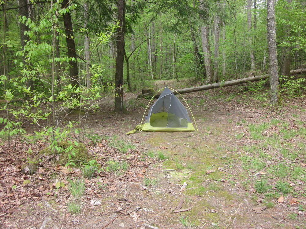
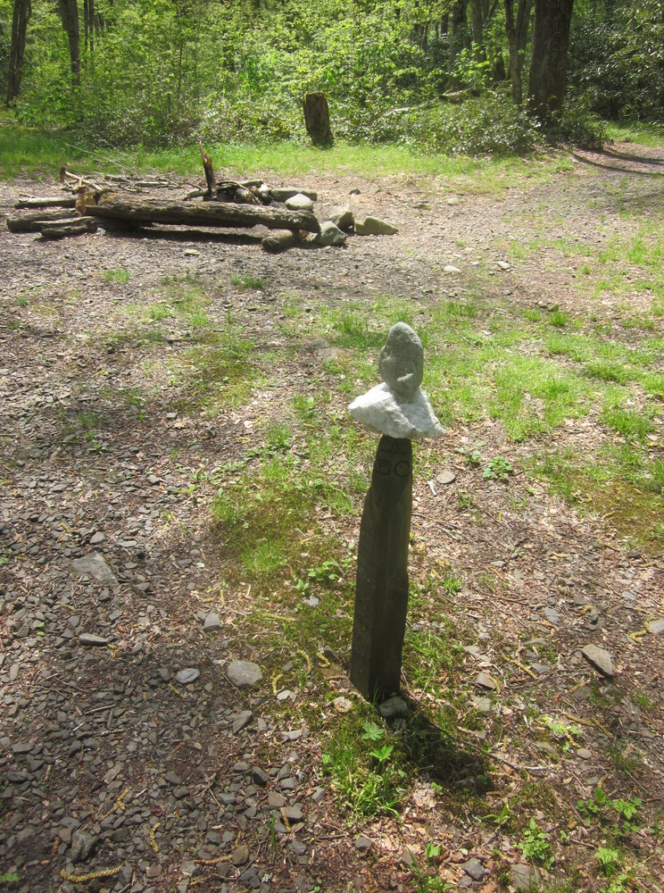
I loved this trail! Hazel Creek was an utter delight. I arrived at Campsite 85 and was all alone. I hung my food on the provided bear cable and slept well. What a wonderful first day back in the Smokies.

Day 2: Campsite 85 to Campsite 84, 9.8 miles, 5.9 new miles
There are only a couple of miles between these campsites, but I had other areas to explore! I walked past Campsite 84 en route to Bone Valley Trail. For some reason, I am drawn to the dead-end trails of the Smokies so I was excited to hike the 1.7 mile dead-end Bone Valley Trail. The trail is so named due to livestock which perished here during a storm. There is no longer any sign of bones and, ya know, I was cool with that. There were, however, remains of humanity, but not that kind of remains.
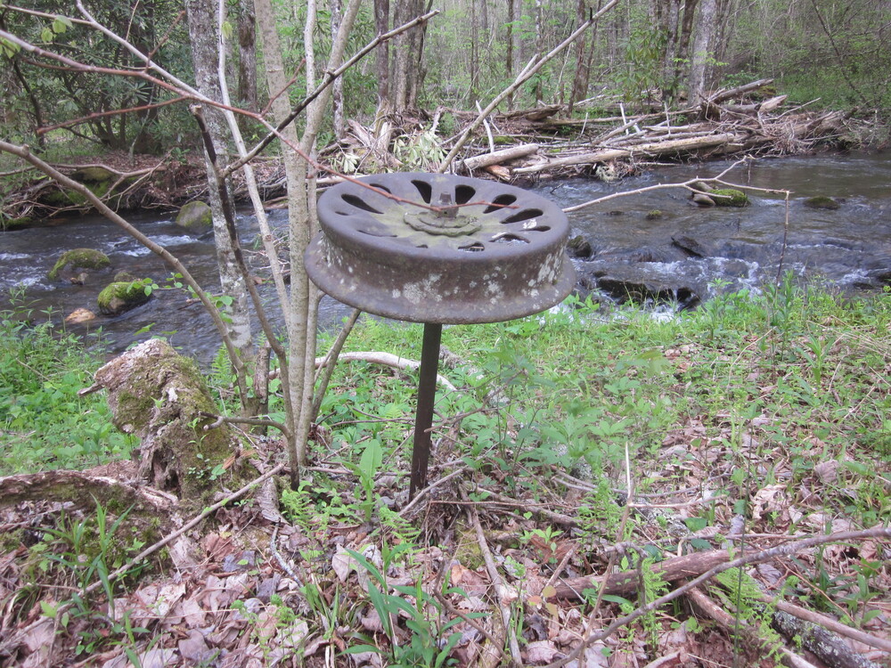
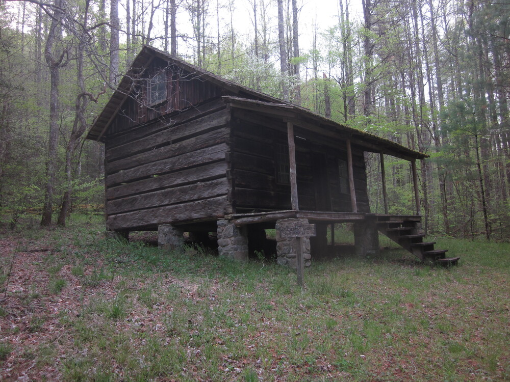
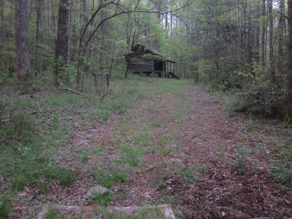
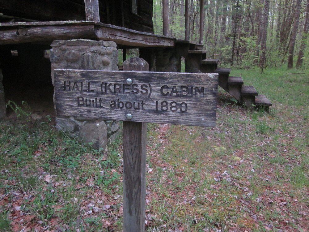
At the end of the trail is the Hall Cabin. I had a snack and enjoyed the area. This is so cool! What a magical spot. I was dismayed to see how many people had carved into the cabin. I hope the park service can track some of them down, but I am not sure how they could.
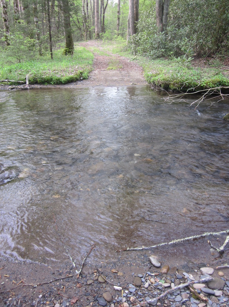
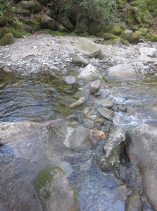
To get to the cabin, Bone Valley Trail had five fords so I had to ford each one twice, out and back. At its highest, I experienced knee-deep water. Not bad. They all looked basically the same. None were dangerous, but in high water conditions I am sure they would be.

I hiked out-and-back to Cold Spring Gap as well, then returned to Campsite 84. I had done all I could in the area — all that remained was my ascent the following day. I can think of no nicer area to spend a lazy afternoon. This campsite is along the Sugar Fork and is near Horace Kephart’s old stomping grounds. Horace Kephart was a writer and conservationist who helped push for a national park and who laid out much of the Appalachian Trail route in the Smokies. He’s one of several prominent heroes of the national park. I had recently read his book Our Southern Highlanders.
Day 3: Campsite 84 to Spence Field Shelter, 9.4 miles, 8.9 new miles
The forecast for this day was not great, so I got up very early and began my 3,000 foot ascent. The trail to Pickens Gap followed an old road and crossed the Little Fork of the Sugar Fork, the creek where Kephart lived. I did not venture off-trail to see his cabin site: nothing remains anyway, except a flat area. But nevertheless I was walking in his footsteps.

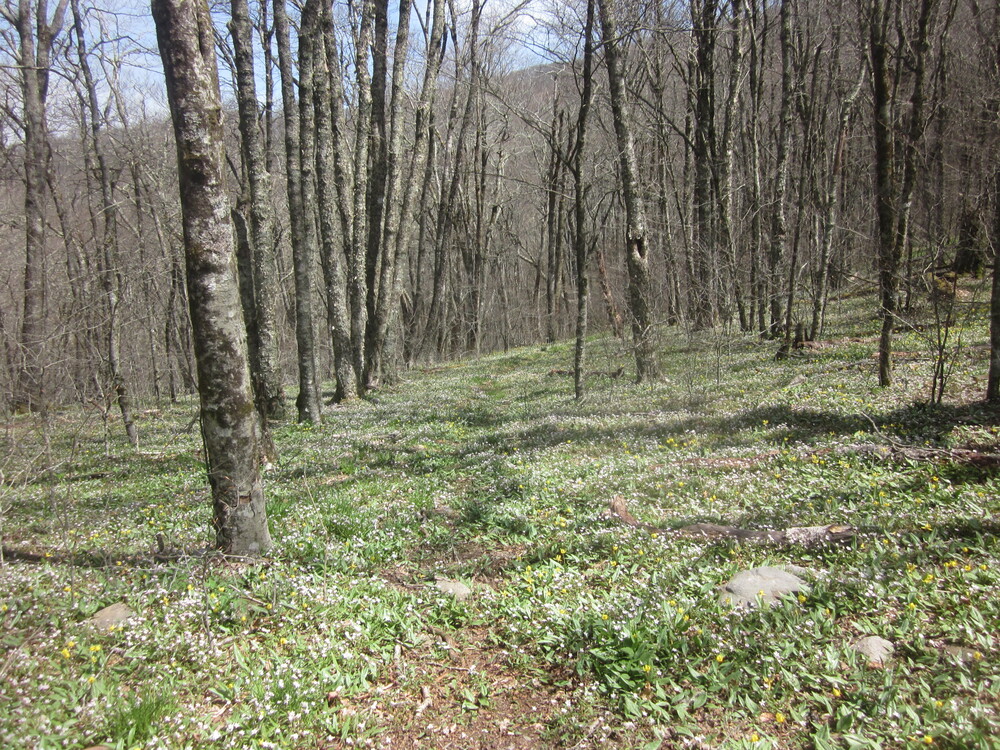
The climb from Pickens Gap left the old roadbed and was steep, as advertised in my guide. But it was cool out, a short rain shower was refreshing, and Haw Gap was gorgeous. I would love to spend an entire day at Haw Gap. I got cell reception there for the first time since leaving Fontana Dam, so I took a break and let everyone know I was alive.
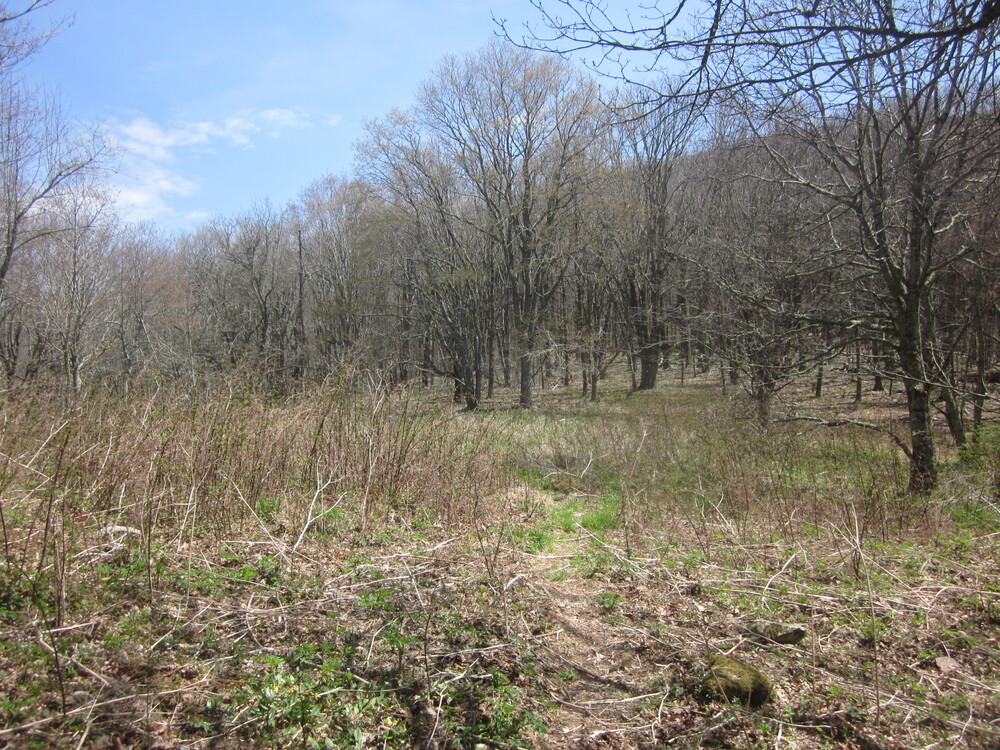
There was water near the top, which was cold and delicious, and the trail passed an abandoned campsite. I love abandoned campsites. I finally reached the Appalachian Trail intersection and followed it to Spence Field Shelter.

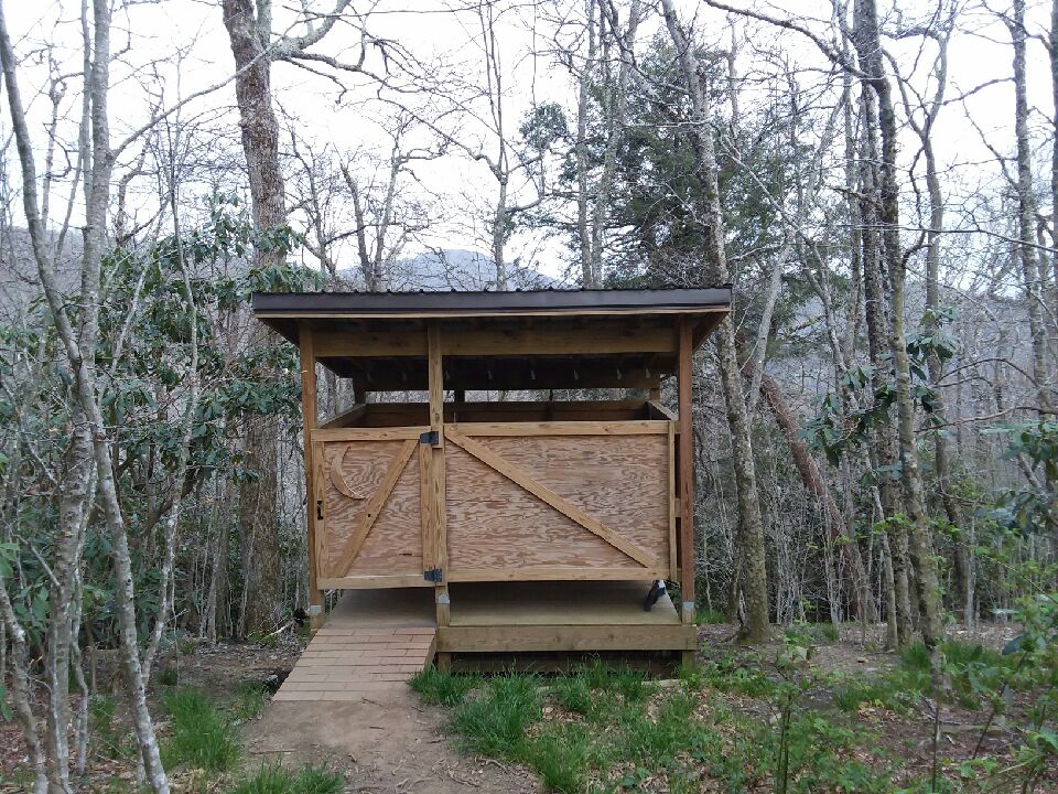
Because it is a short distance off the AT, I had not visited the area on my AT hike. The shelter was beautiful and I was thrilled to be there early in the day. Scheduling sites ahead of time is really challenging; I yearn for the days I never knew, when you didn’t need a reservation for every single campsite – only the high-use ones. It is a real gamble to aim for more than 10-12 miles per day because if weather is bad, you’re really going to suffer.
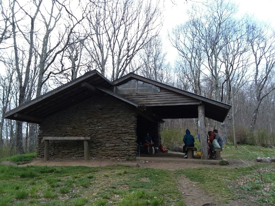
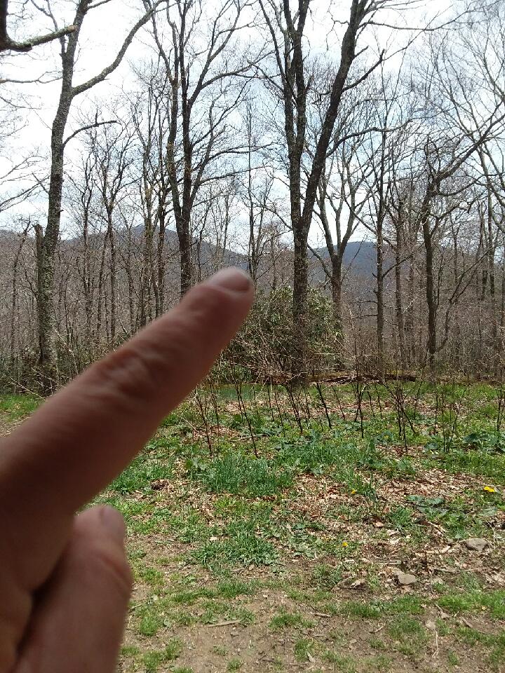
From the shelter, I could look back and see Haw Gap!
I shared the shelter with a great group of northbound AT hikers, a couple of weekenders, and a ridgerunner named Amelia. Everyone was awesome and I learned a lot. One of the men there has ancestors in the Bone Valley cemetery!
Day 4: Spence Field Shelter to Gatlinburg, 5.5 miles, 5.2 new miles – the change of plans day
On this day, I was scheduled to go 13-14 miles across a few mountains. I did not. As I laid in the shelter the night before, I was uncomfortable. I could not figure out what was wrong – then I realized my pad had deflated. I blew it up again, assuming I had accidentally opened the valve. But two minutes later, I was uncomfortable again. Oh, crap.
I have had only one mattress fail before, and it had been used in the field for 300+ nights. It owed me nothing. This mattress had been used for under 2 weeks. It owed me something. Worse yet, it seemed the hole was not a puncture (which would be my fault, and fixable) but the valve (manufacturing error, nothing I can do). Later I concluded it was a seam which failed, but the main idea is the same: it was simply not able to be fixed in the field.
I was discussing what to do with the AT thruhikers. I could survive the next few days without a pad, but I would not sleep well or enjoy my time. Or I could try to get to town to get a new pad. Although she was sleeping, Ridgerunner Amelia popped her head up and said “I’ll give you a ride to Gatlinburg!” She was getting off-duty today, her car was just five miles away, and she was heading that way. It was the best trail magic of the year.

So, my plans changed. No 13 miles through thunderstorms. Instead, five miles, a 45-minute ride, an expensive trip to the outfitters, and a cheap motel. There was no possible way to get from Gatlinburg to my reserved campsite that night. The motel was really the only option. And that was okay, because Gatlinburg had pizza. And it was raining.
I cannot describe my gratitude to Amelia for the ride, and to the universe for putting me in her path. Yes, I could have survived without a pad. But I really didn’t want to.
Day 5: Gatlinburg to Campsite 30, 11.9 miles, 10.9 new miles
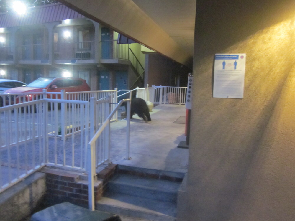
I did not expect to love this day, but it started at 6:20AM as I left the motel and startled a sleeping bear, and that was quite a way to begin.
By pure happenstance, my reserved campsite for the night was within walking distance of Gatlinburg. The part of my planned hike that I missed the previous day was to link the Cades Cove area with the Gatlinburg area, but those trails are not going anywhere. I’ll get to them someday. I was just amazed by my luck – that somehow, I’d gotten a ride to where I could get what I needed. And somehow, I had scheduled my next nights to be near Gatlinburg.
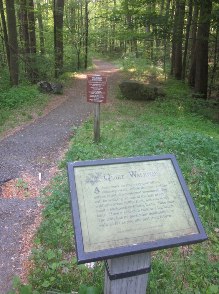
I followed the Gatlinburg Trail out of town to Sugarlands Visitor Center, which was nowhere near open yet. I then had to walk the road for about a mile before joining the Bullhead View Quiet Walkway which took me to Huskey Gap Trail (and showed me my 2nd bear of the day!). It was pretty great to be out so early – I had to dodge fewer than a dozen cars, so while the roadwalk was not a perfect solution, it was a necessary and safe enough link.
Huskey Gap Trail was hard for two miles as I ascended, sometimes rather steeply, but I was very happy. All the coincidences of the past 24 hours were just incredible and fueled me.
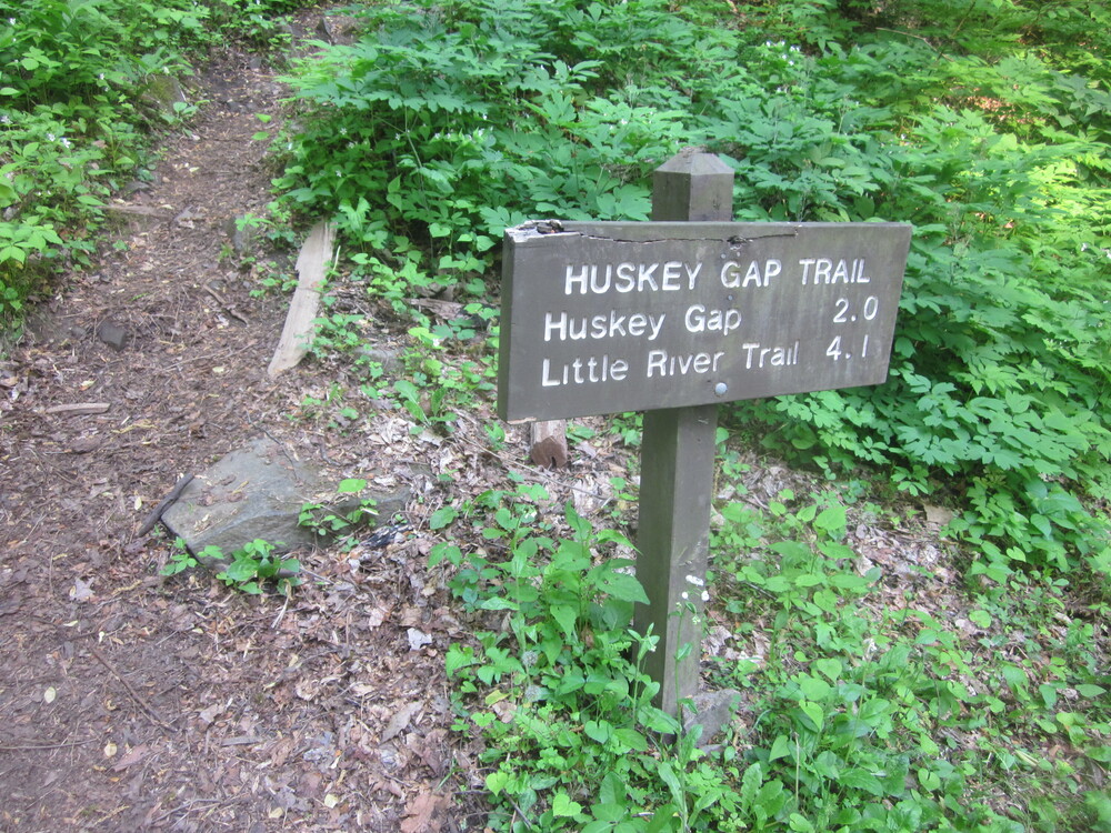
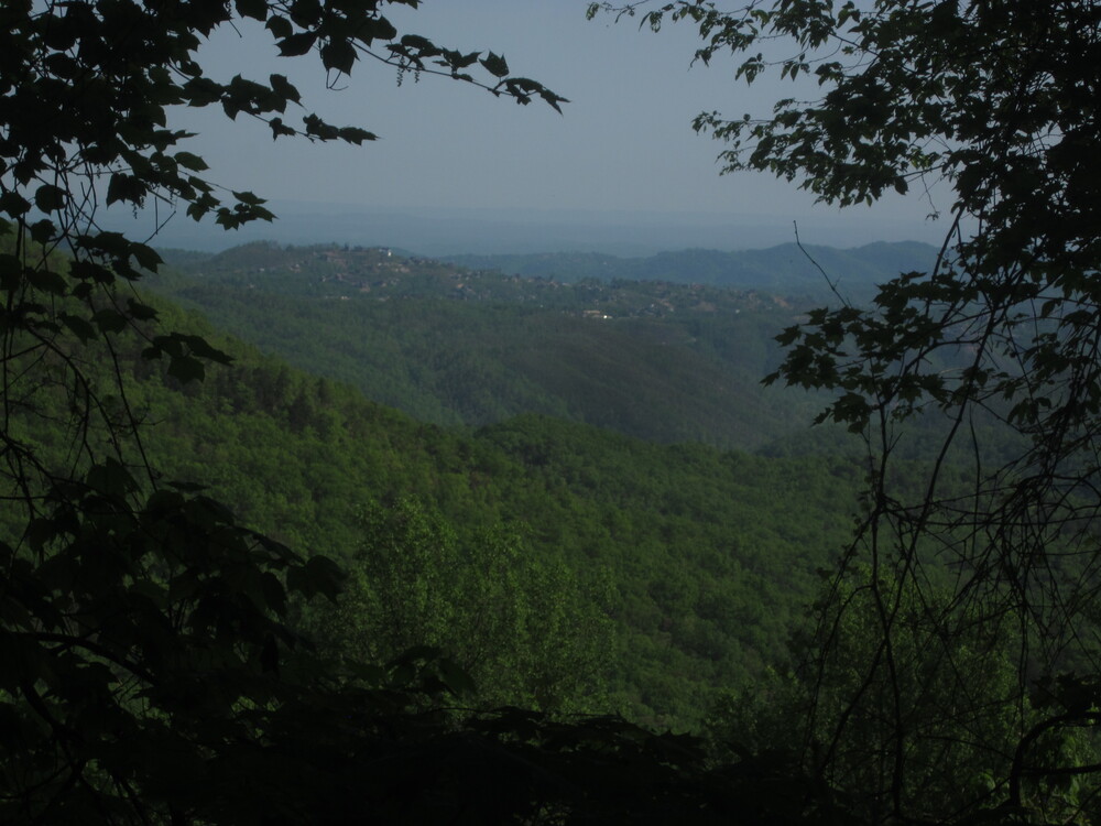
I got a view of scenic Gatlinburg and a whisper of a cell signal. It was my last cell service of the trip. I reached Huskey Gap and the rest of the trail was easy and gorgeous. It was very hot, but plentiful water kept me hydrated.
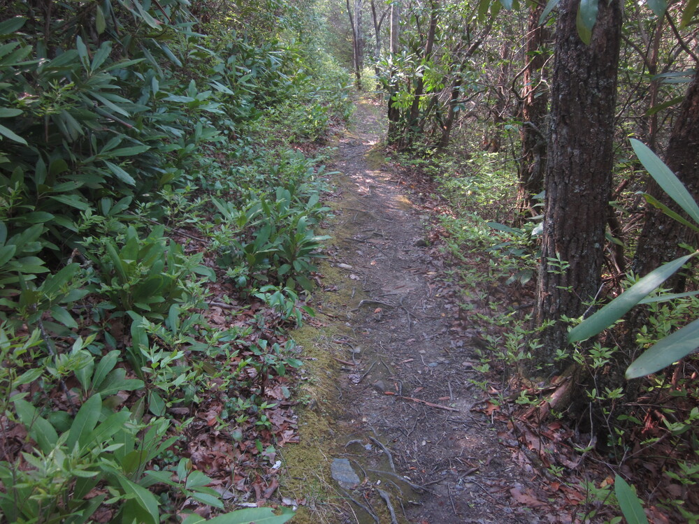
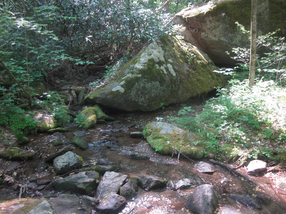
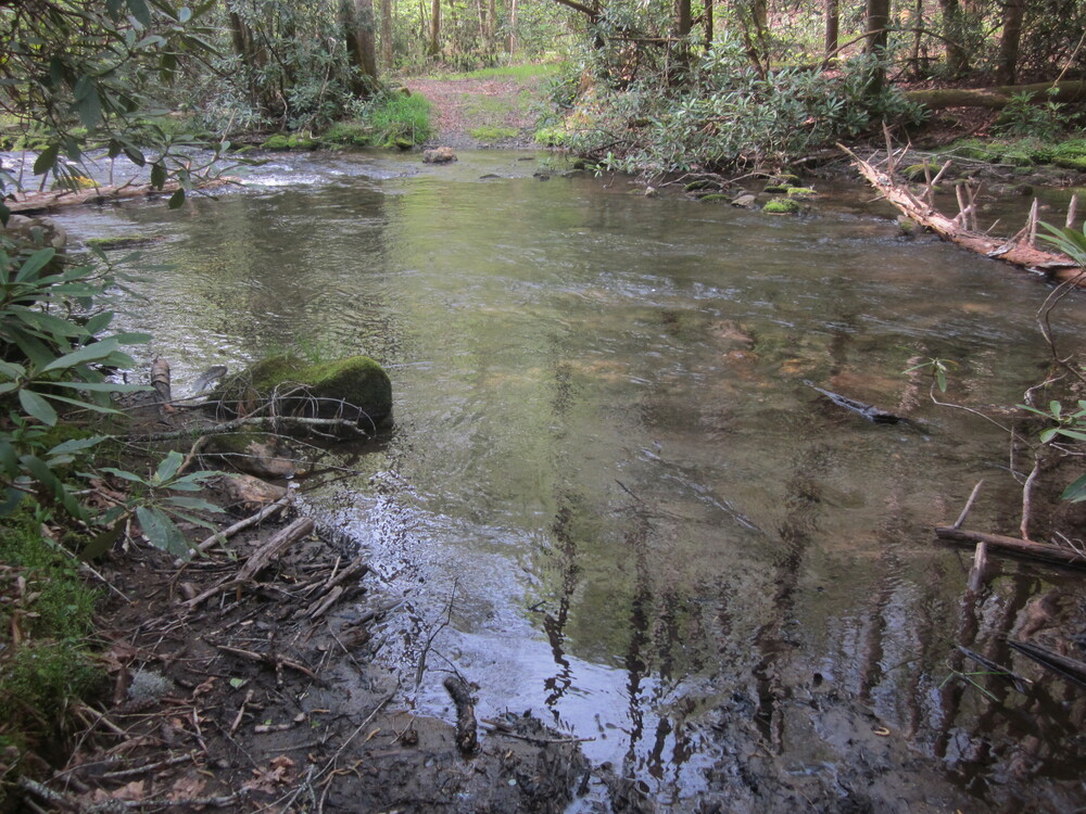
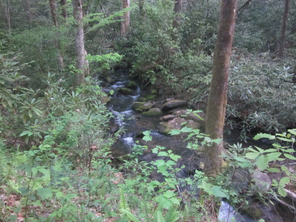
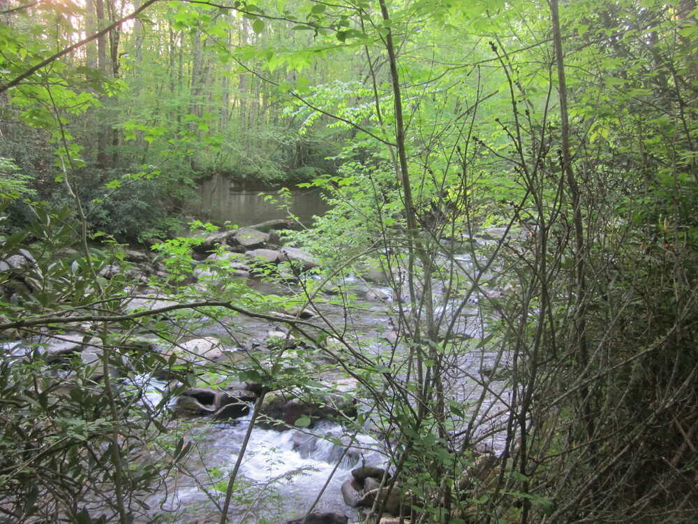
When I arrived at the Little River Trail, I was delighted by its transformation from old roadbed, wide and smooth, to a narrow trail with three interesting fords. Waters were high thanks to the intense rainfall of the day before.

I got to the campsite at 1:30 – very early, considering all my breaks. I had the campsite to myself and loved being camped between two streams. I was completely alone, miles from anyone. The nearest people to me were likely on the Appalachian Trail, two miles away and 3,000 feet up, with no trail connecting us. I sat on my new pad in the sunshine, reading books and enjoying all the green.
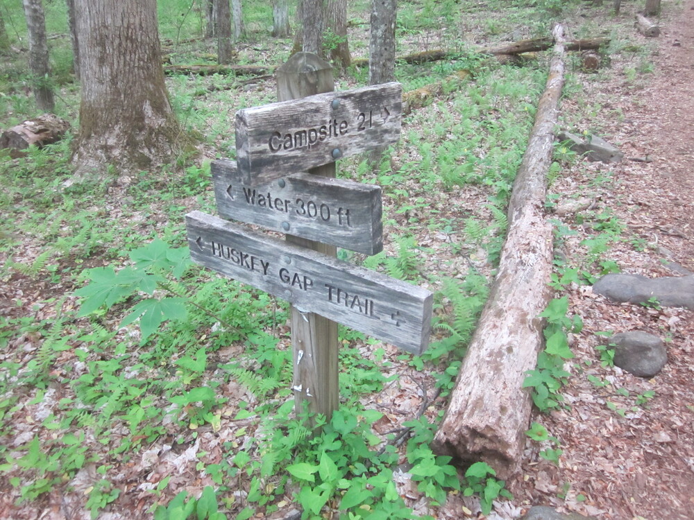
Day 6: Campsite 30 to Campsite 21, 4.0 miles
My original plan for this day had been to summit Sugarland Mountain Trail via Rough Creek Trail and loop back to Campsite 21 that way. However, I had met a hiker the previous day who warned me with very strong language to basically not attempt one of the fords on the Rough Creek Trail. I often find that people underestimate me, but in this case the man was visibly shaken by the experience he’d had. I reassessed my plans.
The thing about trying to hike all the trails in the Smokies is that it will take me years. If I lived locally, I could be done in a year, but I have to rely on pre-booked trips, and you never know about the weather when you book your trip a month in advance, so I try to keep my mileage to around 10 miles per day, because it’s the Smokies so there’s a 40% chance of misery on any given day. It’s frustrating, because that mileage gets me into camp in early afternoon, but if there was bad weather, I would need to be done around that time. I’m forced to plan for the worst condition. So I’m not making fast progress. Cutting out my Rough Creek Trail plan just meant progress will be a little slower — but it meant not making a dangerous ford, so it was the right choice.
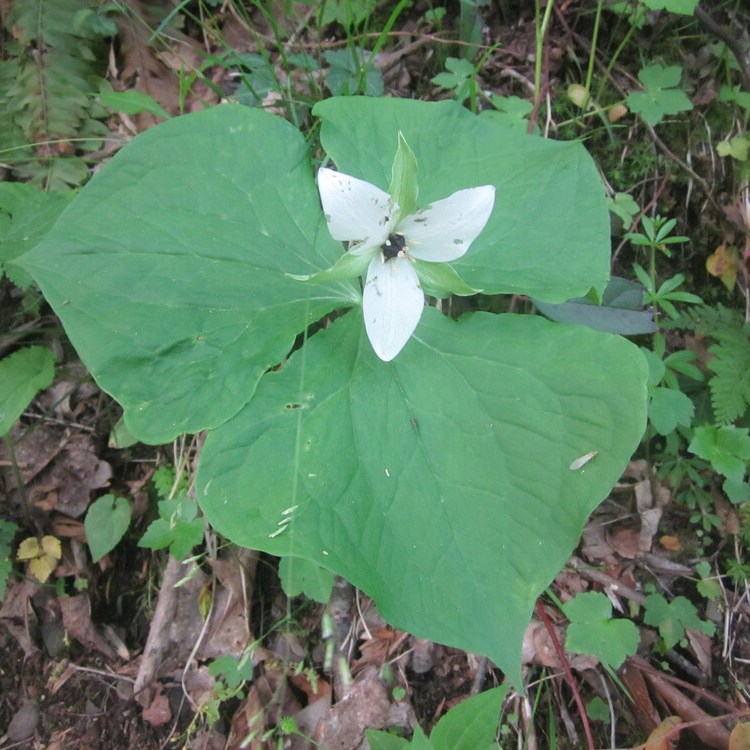
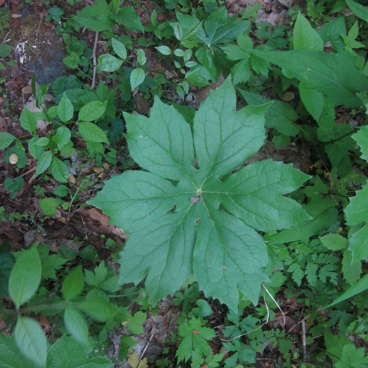
I decided to make the most of my short day. I slept in, or tried to, and took my time. I took photos of every plant species I could see. I sat by water. I watched red-spotted purple butterflies. I splashed around a bit on the fords I did have.

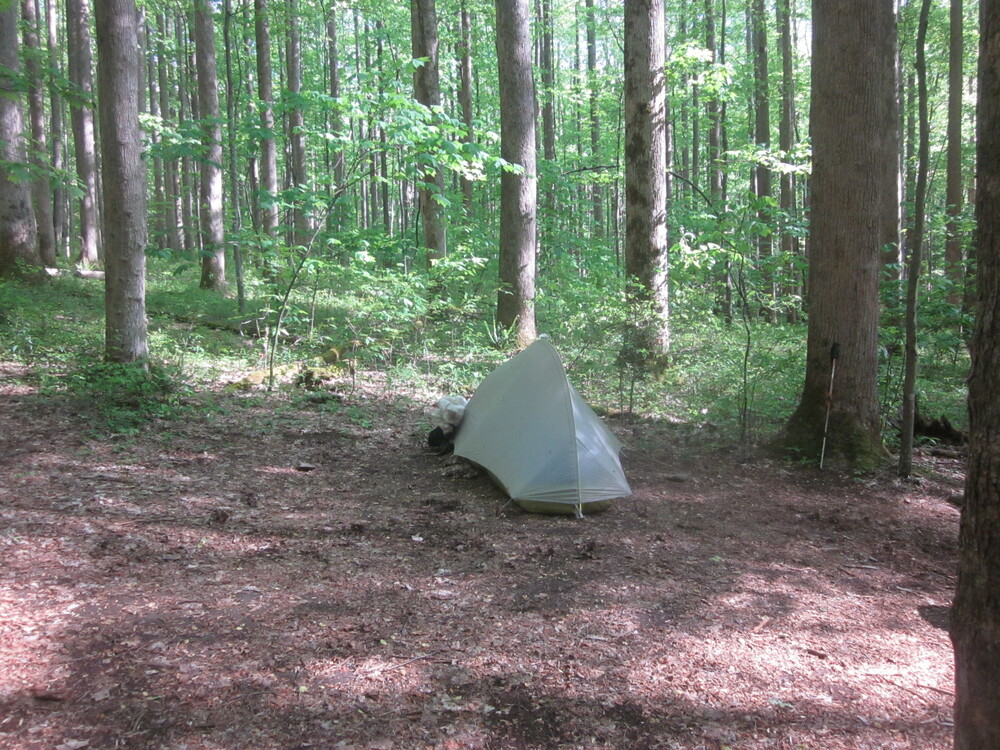
I got to camp as the previous night’s campers were leaving. They unfortunately did not put out their fire correctly, so I stood vigil as it died. I found a nice corner of the campsite to set up in. I had a long lunch, read books, and worked on crossword puzzles. It was relaxing, renewing, and memorable.
Day 7: Zero day!
This was the best idea of my entire schedule. Of course, I did not foresee having practically a day off on Day 6, but the idea of taking a day off at the end of my trip was a really good one and one I will try to implement after long adventures. Because I was not just finishing my time in the Smokies: I was about to be done with Expedition LOST – Foothills Trail, Bartram Trail, a quick Appalachian Trail visit, and the Smokies. I had been on trail for nearly a month.
The night before had not been restful. First, bears were active in the area, and I could hear them tromping around the woods around my tent. While they did not come too close, it is always disconcerting to hear them. Then, an intense thunderstorm rolled. It poured violently, and I was thrilled to be down so low. Not that my campsite couldn’t get struck by lightning — but it felt much more likely that I would be okay.
By the time the morning came, it was a relief. The rain relented, and while it did rain off and on for much of the day, it was gentle and it let up often enough to allow me to go outside, walk around, and hang out outside the tent.
Day 8: Campsite 21 to Elkmont, 3.0 miles, 2.7 new miles


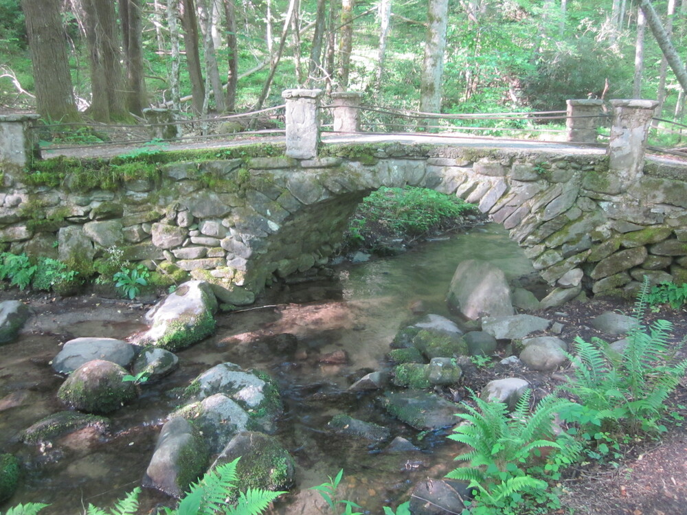
I woke up, excited because at 10AM I was going to get picked up by family! I packed and hiked Huskey Gap Trail to Little River Trail. It was a fantastic jaunt to the Elkmont area. I even saw the Troll Bridge!

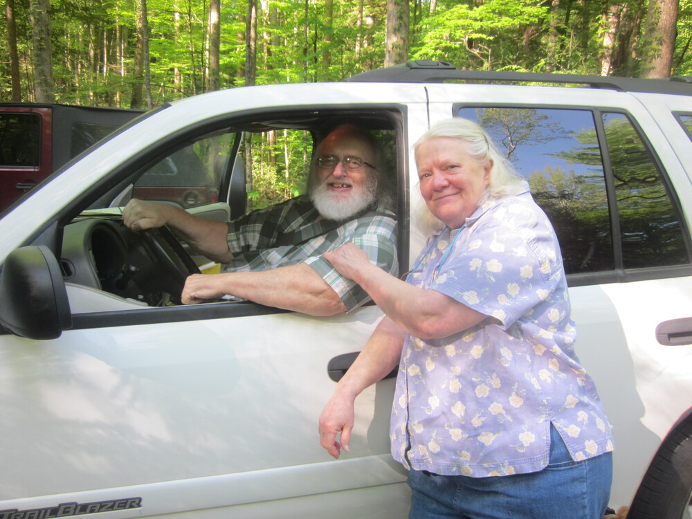
I made it to Elkmont and soon ran into my parents! Good thing too, because no one had any cell service so we were lucky the rendezvous point worked out! I was really happy to see they made it safely to the south.
As we drove away, I was already starting to plan my next adventure in the Smokies.
Great Smoky Mountains 900 miler tracking:
Trip mileage:53.7
Trip unique miles (in Smokies): 40.2
Total mileage in the Smokies to date: 228.0
Total unique mileage: 209.3
Shelters/Campsites: 85, 84, Spence Field, 30, 21
