In 2025, I created a Great Smoky Mountains National Park backcountry itinerary with the goal of hiking the notorious, at times nefarious, Eagle Creek Trail. I flew to Cincinnati to help gistrailblazer move, and then we roadtripped south, camping at Look Rock Campground the night before the itinerary began. The expedition did not turn out at all as intended…
September 28, 2025 – 6.2 miles
Abrams Creek Campground to Campsite 14, Flint Gap
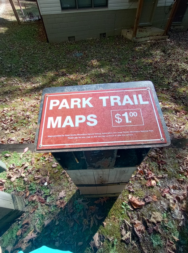
We got a later start than planned due to needing an annual parking pass, which (surprise) isn’t sold at the machines around the park. Because we were going to camp in the backcountry for a week (the maximum length of a permit is 7 nights), a simple weeklong pass would not be enough to cover our time – we needed 8 days of coverage, and there is no legal way to purchase that at any machine around the park, as all permits sold are effective immediately – you’re not allowed to buy a one-day permit plus a weeklong permit. Whether anyone would know or care is another matter; we were not willing to risk it.
We ended up having to drive to Townsend to buy a pass. Then we drove to Maryville for a quick gear replacement. Honestly, we’re so lucky we had to go to Townsend for a pass, because otherwise I think we would have tried to make the gear we had work, and there was a fatal flaw that needed to be replaced. I think our whole trip would have been impacted otherwise.
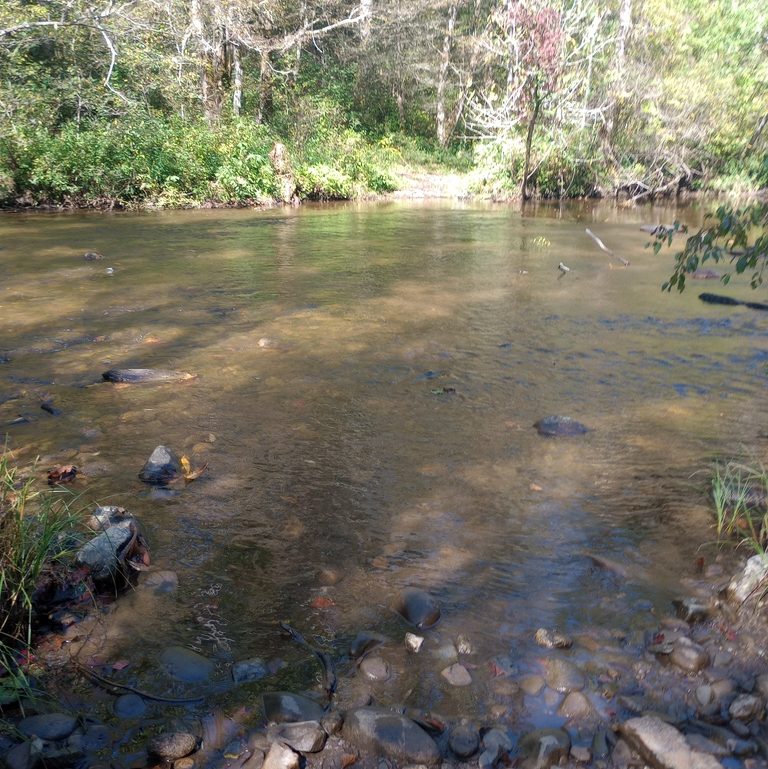
Finally we got on the trail, a few hours after we planned. We instantly had a ford of Abrams Creek, but it was easy and a good time to have a ford. I’d so much rather start or end with a ford than have one in the middle of a hike. It wasn’t terribly deep or fast, and it was a nice welcome to the trail. Little did we know how water was going to shape the entire rest of the trip for us.
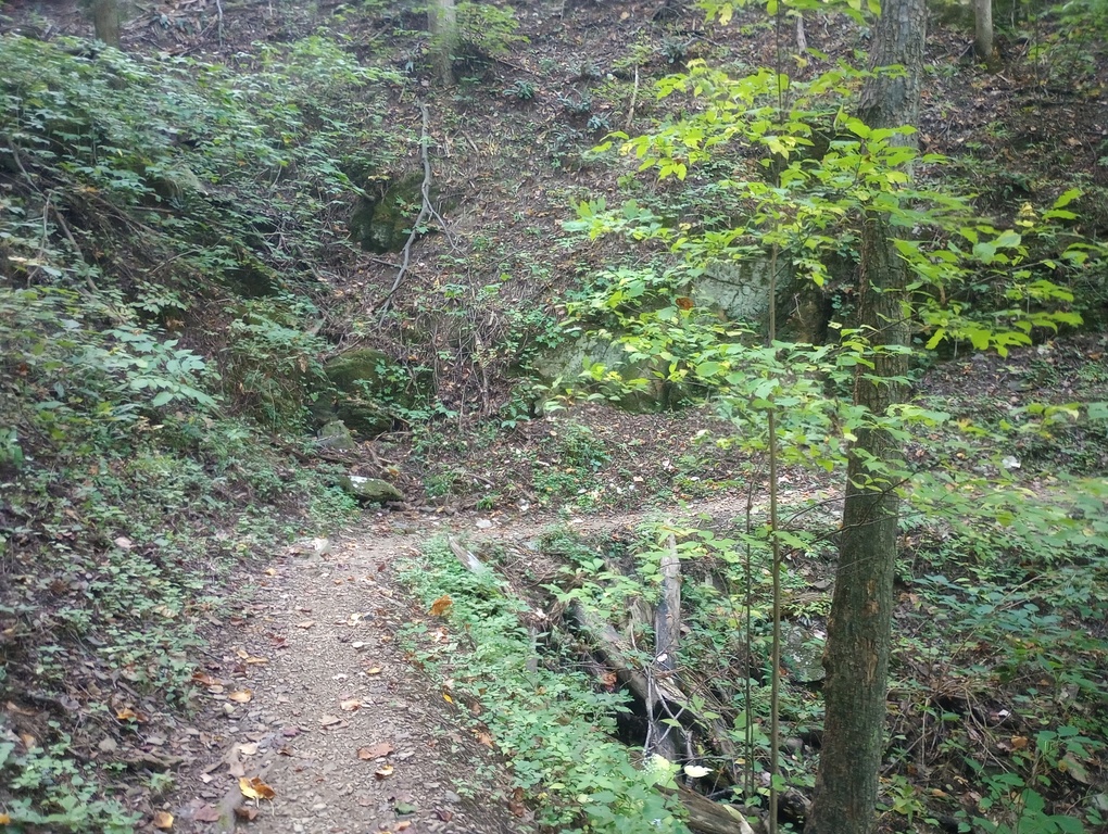
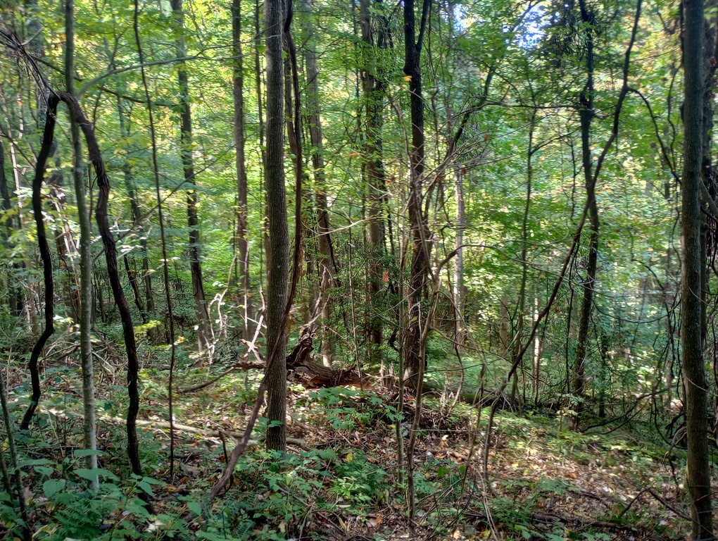
Heading up Rabbit Creek Trail was very hot on the thousand-foot climb, and I began to get nervous when we arrived at our first rest break, at a campsite in Scotts Gap where I expected to find water, but found only mud. We had no choice but to continue to Hannah Mountain Trail. This trail has always caught my eye because it is the farthest west in this area of the park; there’s a very large swath of park with no trails between the park boundary and Hannah Mountain.
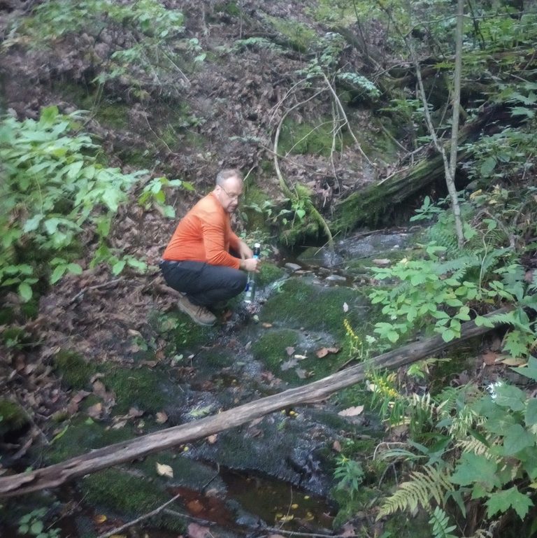
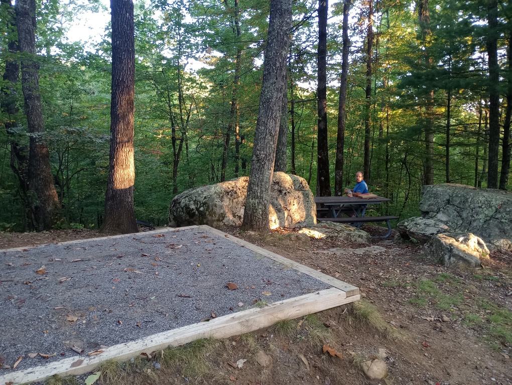
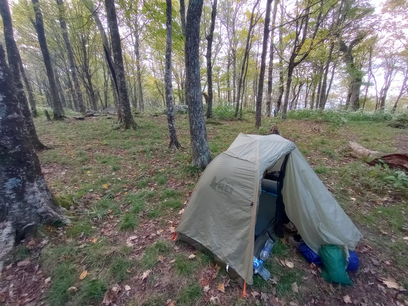
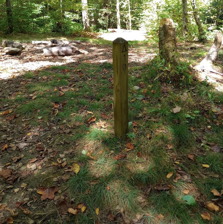
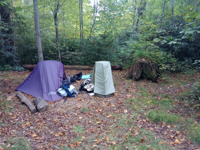
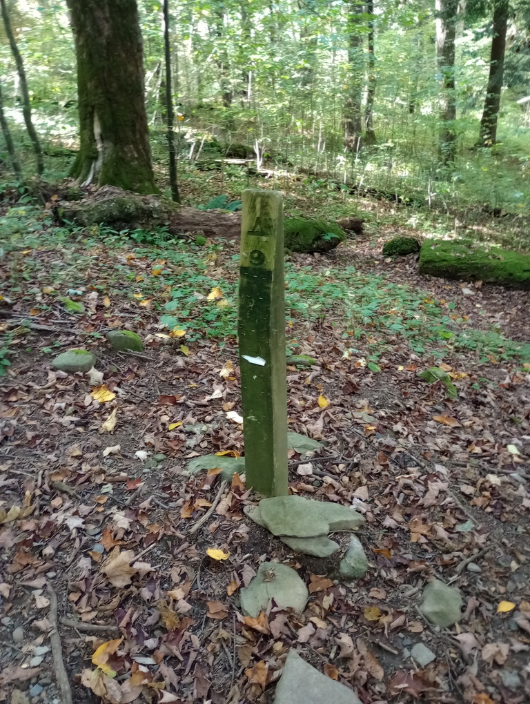
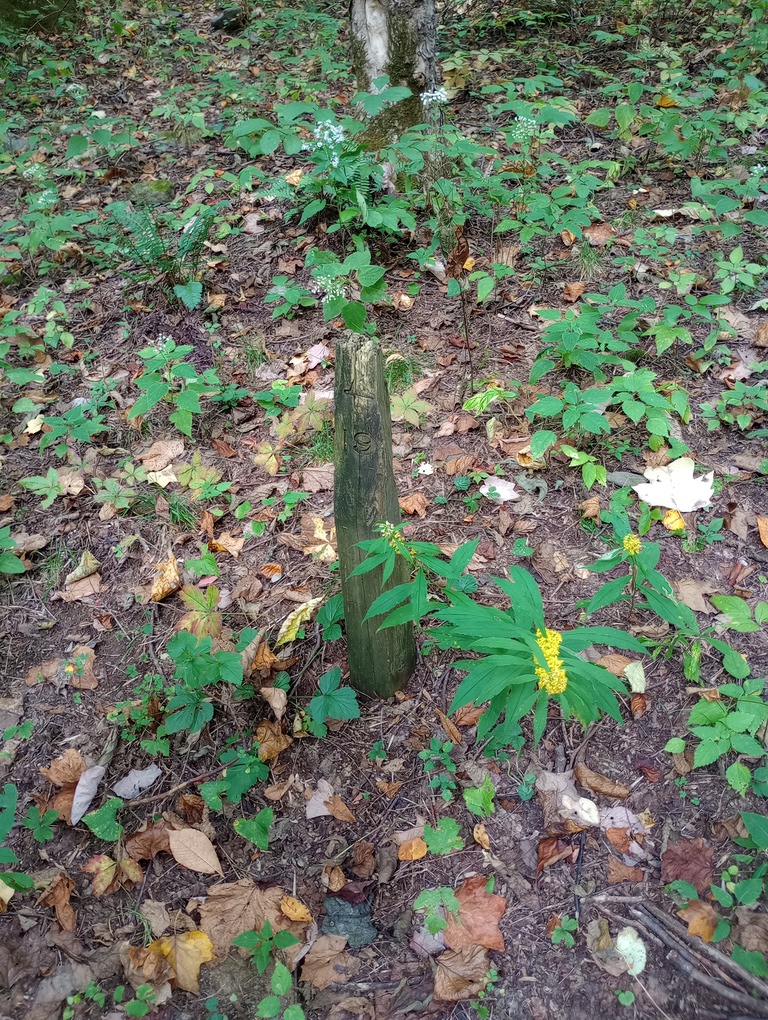
After hours of hiking mostly uphill, we arrived at our campsite, Flint Gap, and continued 0.1 miles to find a trickle of water. We were so grateful and relieved. I set up a leaf to help channel water into my bottle and I drank deeply for the first time all day. Gistrailblazer, on the other hand, accidentally launched his bottle into a ravine and had a great time bushwhacking to get it. We filled everything we could, and headed back to the campsite. It’s a small, odd little site, and I was so happy to be there – and be there without others. This tiny site really shouldn’t ever be expected to host more than 3 or 4 tents.
September 29, 2025 – 8.5 miles
Flint Gap to Campsite 13, Sheep Pen Gap
In the morning, we packed up and filled up every bottle we could at the little trickle. The rest of Hannah Mountain Trail was a true joy to hike. We saw only one hiker; it really felt like we were alone in that quadrant of the park. We had a medium climb, but after that it leveled out.
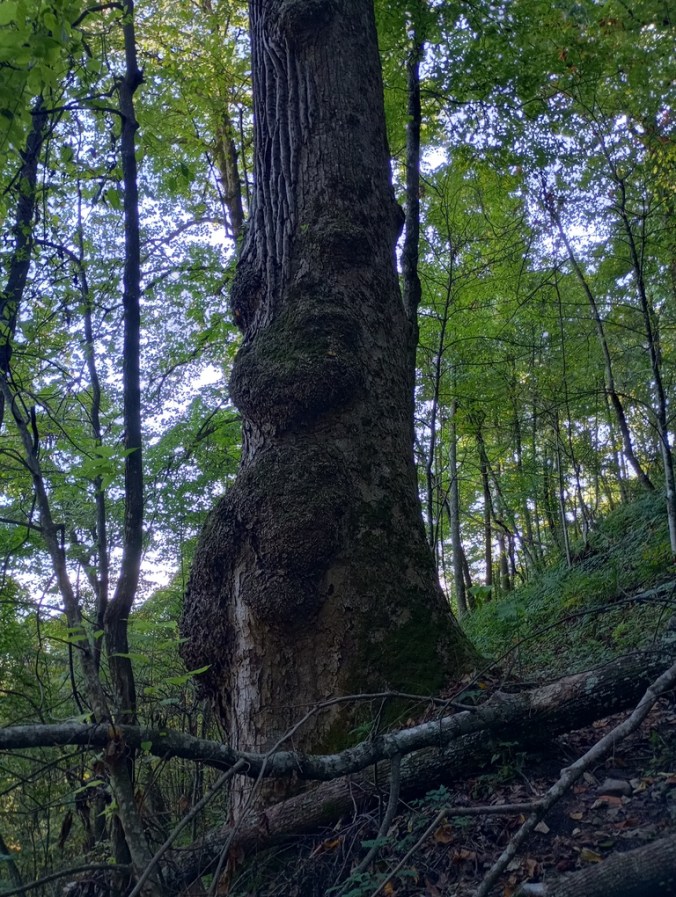
One highlight was a particular tulip tree, so large and noteworthy that it makes the cut to be shown on the elevation profile of the brown book (a guidebook for Smokies trails).
It was on this ridge that I checked and saw that I had a whisper of reception. We took a break and checked the weather forecast. It wasn’t great. Rain was slated to come in the next day; a day when we would be camping on the Eagle Creek Trail, with noteworthy fords ahead of us and behind us. We had to make a decision, and we had to make a decision right at that moment because we weren’t likely to have reception again.
We put in a call to the backcountry office and changed our itinerary to avoid Eagle Creek. It was so frustrating, because that was the trail I’d built the whole hike around. I’m excited to see it, and I am very excited to have it off my to-do list. But this was not the weather for it. The guy in the backcountry office even agreed that we were being smart.
With the decision made, we were going to have a lot of slow days ahead of us – we were cutting out a chunk of mileage heading down to Eagle Creek and then back up. But that, we guessed, would be better than getting stuck in the middle of a trail during a weather event with no way out. For me, it meant completing fewer “new” miles in the Smokies, but it did allow me to stay at some campsites I’ve always wanted to see, so it kind of all evened out.
We continued hiking and crossed Parson Branch Road, a one-way dirt track heading from Cades Cove to the Tail of the Dragon, a famous curvy road on the western boundary of the park. The next section of our day would be all up. We were climbing from about 2700 feet to 4700, and it was a slog. It did feel a little better once we found a water source near the top and were able to fill up again.
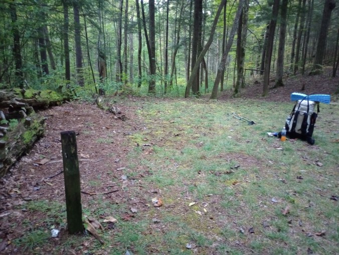
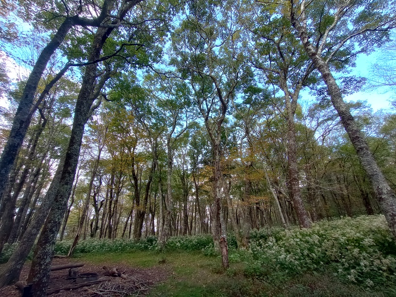
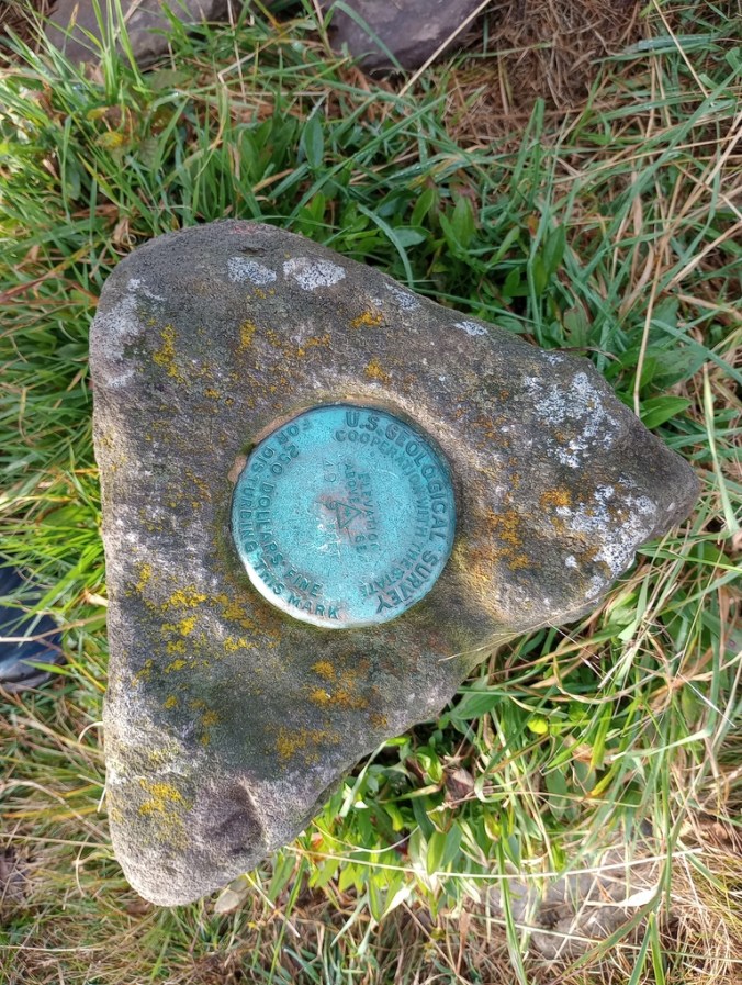
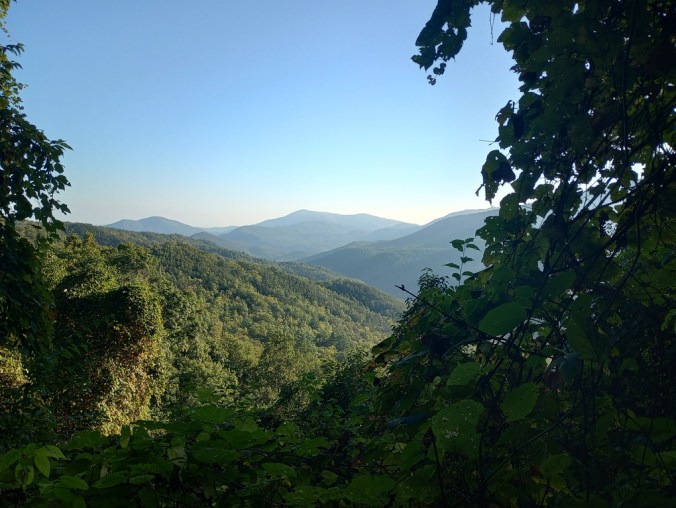
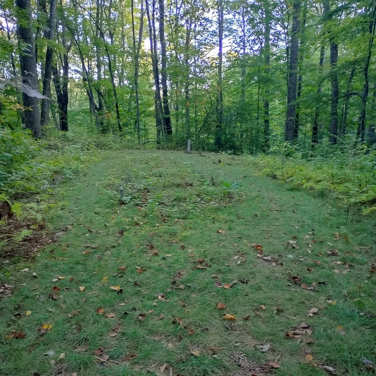
It was all worth it when we arrived at Sheep Pen Campsite. This absolutely magical place was worth every foot of elevation. This site is on the former route of the Appalachian Trail, and it was really neat to be where early thruhikers like Earl Shaffer would have been. Some campsites are there because a campsite is needed, other places have campsites because they are wanted, and this was a rainbow connection location, a place where the land felt welcoming and happy to host strange wanderers.
Once the sun set, we could see twinkling lights of Maryville far below us. Magic. Nostalgia. It felt like 2010 on the Appalachian Trail. A better time.
September 30, 2025 – 6.6 miles
Sheep Pen Gap to Mollie’s Ridge Shelter
The Appalachian Trail is poorer for losing its old route – Sheep Pen Gap, Gregory Bald, and so on – but the places are better off for having lost the Appalachian Trail.
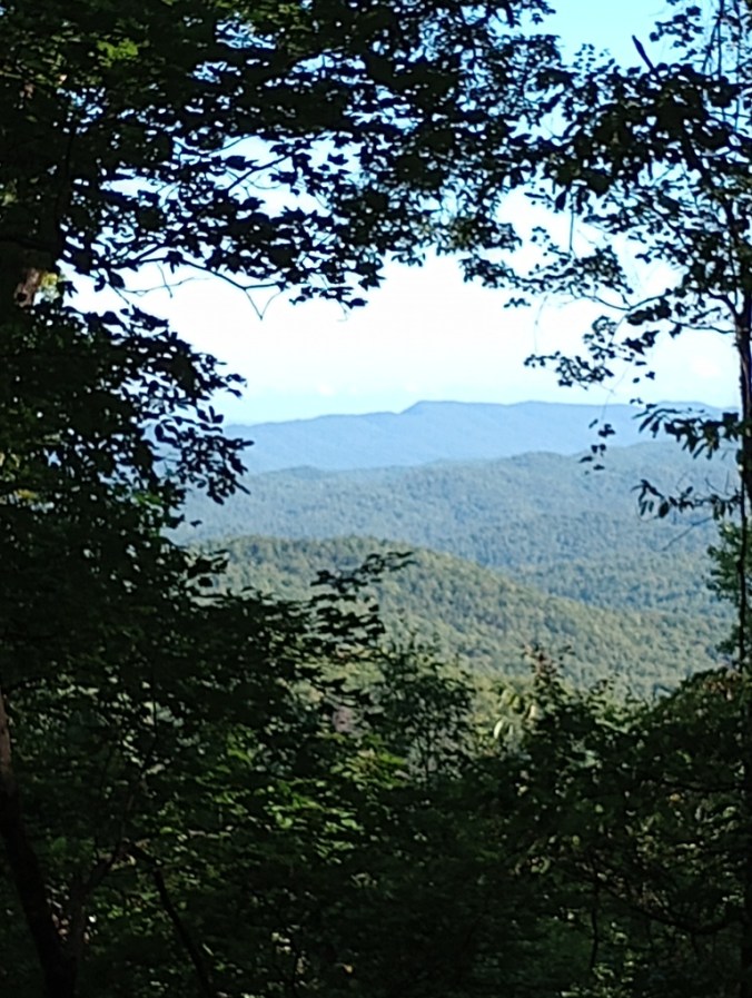
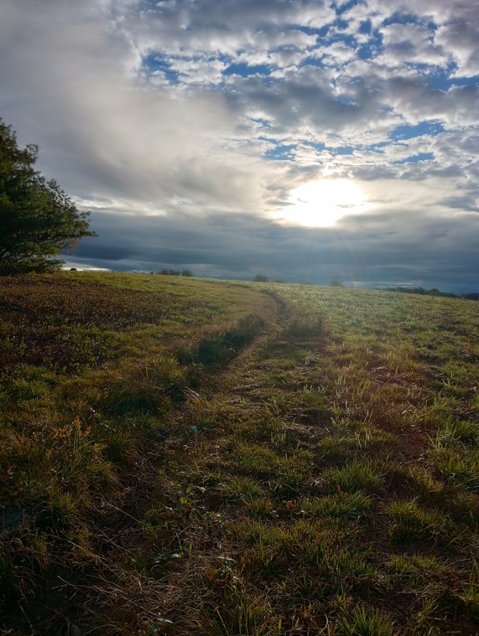
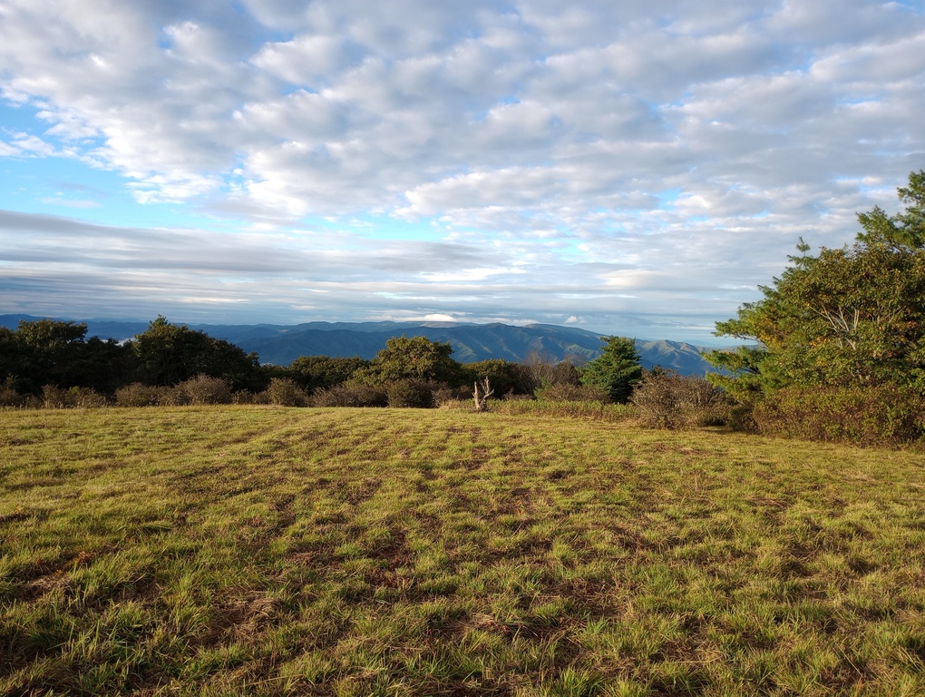
Although it rained during the night, the morning dawned lovely, with a hint of ominous wind. I cannot picture a more beautiful morning. We ascended Gregory Bald and had it all to ourselves. This is one of only two maintained balds in the Smokies, and the first one I’d ever been to. I remember how crushed I was when I was hiking the Benton MacKaye Trail in 2012 and discovered that Newton Bald was really just a patch of woods. But not Gregory Bald!
We descended to a famous spring where once there was a shelter, and got to hike miles of the old Appalachian Trail route to Doe Knob. I now know why the AT has a 90 degree turn at this location. It used to go straight, tracking over the miles we’d just walked.
Doe Knob is also where were supposed to turn right onto the Appalachian Trail to descend Lost Cove and climb Eagle Creek Trail, but instead, with our new itinerary, we turned left onto the Appalachian Trail heading northbound.
Although I had not seen this piece of trail since 2010, it felt familiar. I had pages from the brown book ripped out, and so when we ate lunch at Ekaneetlee Gap, I loved reading aloud about its importance to the Cherokee. I didn’t have interpretive information like this when I hiked the AT; it’s one reason I would hike it again – I now know so much more about public lands, the history of the trail, and the history of the land that the trail is on.
It was also along this stretch that there were a couple of piles of gear just sitting on the side of the trail. Super creepy stuff. The kind of thing that happens along the AT more much often than other trails. The traffic was noticeably heavier on the AT. Hard not to be, when the traffic so far has been virtually nonexistent.
The wind was picking up and the clouds blowing in, so it was a fairly fast ascent up to Mollie’s Ridge Shelter. We arrived before the threatened storm, and in fact the storm didn’t turn into much, though the clouds were very ominous for a time. It was nice to have a roof, even with a distinct lack of precipitation.
We ended up sharing the shelter area with a couple of AT hikers, all very considerate and fun. We also met a couple of other hikers who were also on a new itinerary due to changed plans, the forecast, and Eagle Creek. Turns out that Eagle Creek would have been fine, but we didn’t know. For so many reasons, this was a day I will treasure my whole life. I can never regret delaying my ascent of Eagle Creek when the day I had instead was so magical.
October 1, 2025 – 5.8 miles
Mollies Ridge Shelter to Campsite 10, Ledbetter Creek
It’s amazing what I don’t remember; I always think I remember each mile of the AT, but other than the name “Devil’s Tater Patch” (which, by the way, 10/10 for a name) I really didn’t remember much of this section. I know that I stayed at Russell Field Shelter in 2010, but it was winter and icy and my boot steamed when I took my foot out of it, and that’s about all I remember.
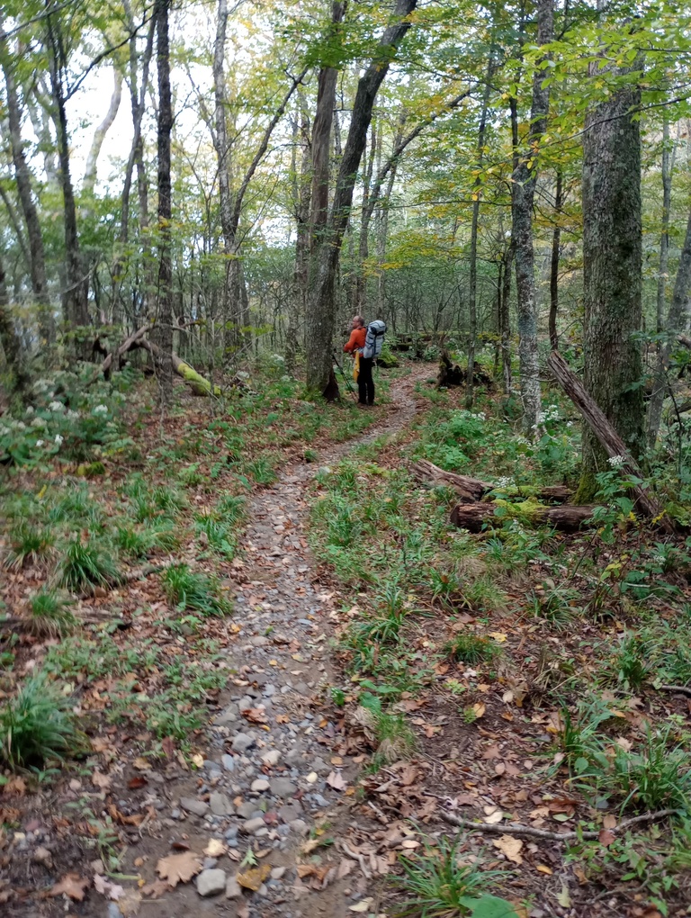
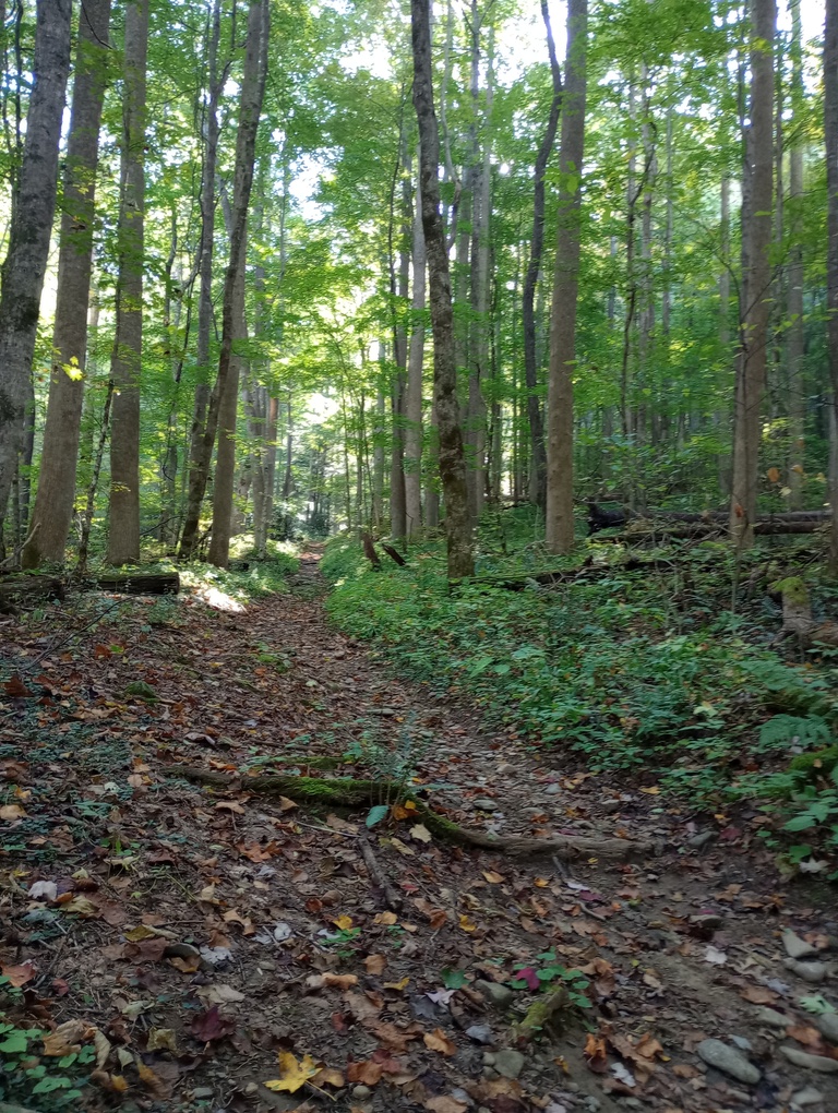
It was a lovely green tunnel for much of the morning. I don’t think that’s a bad thing at all, even though some hikers hate it.
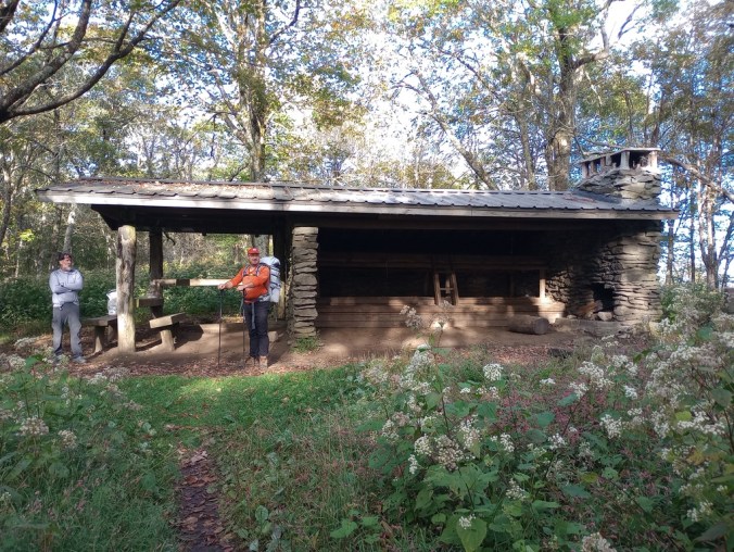
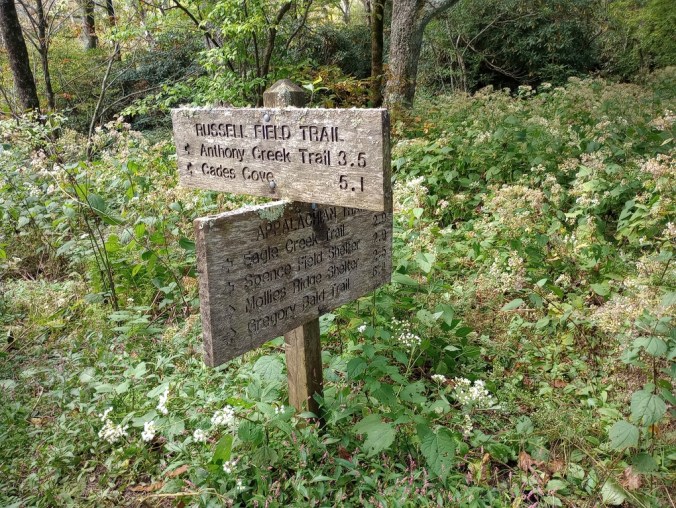
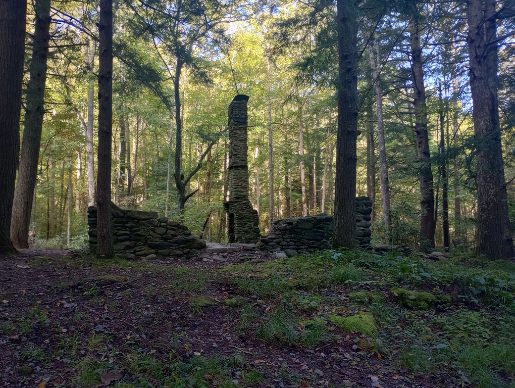
We ate at Russell Field Shelter before getting water at an incredible water source – a total plummet off the mountain if staying at the shelter, but for us, it was right on the way. Then we rambled down Russell Field Trail, which was far more enjoyable than I ever would have imagined. We followed a mystery trail to a mystery clearing and then back to the real trail, discussing for probably half an hour what that area had been once. Homestead? Campsite? It had to have been something.
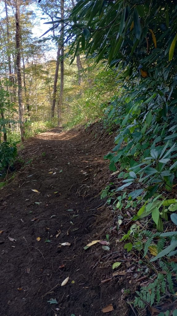
Recent trail work had done a lot of good, and because the government had shut down at midnight, there was no one and no cars in Cades Cove far below us. It was silent – eerily so.
Although neither of us loved our campsite for the night, on some maps called Leadbetter and others, Ledbetter, it was at least near water. What a joy to hear the sound of running water from my tent! We got into camp so early and we had hours to lounge around and drink water. It was a delight.
I awoke in the middle of the night to pee and saw Orion peeking through the leaves. His time is coming.
October 2, 2025 – 2.5 miles
Ledbetter Creek to Campsite 9, Anthony Creek
It’s always nice to have a day off in the middle of a hike. This was ours.
This was truly the loveliest day. We slept in, packed up slowly, meandered downhill, and climbed to Anthony Creek Campsite. I had previously hiked Anthony Creek Trail, but it was a very different vibe to be ascending it versus descending.
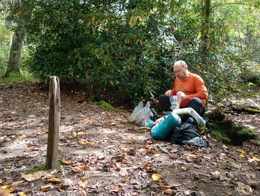
We had the campsite to ourselves most of the day. At dusk, someone came in, which isn’t a surprise, given the campsite’s proximity to Cades Cove. I’m always happy to holler “hello” to a fellow female camper and let her know she’s not alone. Gistrailblazer is harmless, but he becomes less harmless when it’s obvious a woman trusts him. Rolling in at dusk like she did, she probably was a little disappointed to see a couple of tents taking up the best spots.
The strangest part of the day is that the O ring for my filter has worn out, and guess what I found in the dirt and grass along Anthony Creek? Someone else’s O ring. What are the chances?
October 3, 2025 – 13.1 miles
Anthony Creek to Campsite 19, Upper Henderson
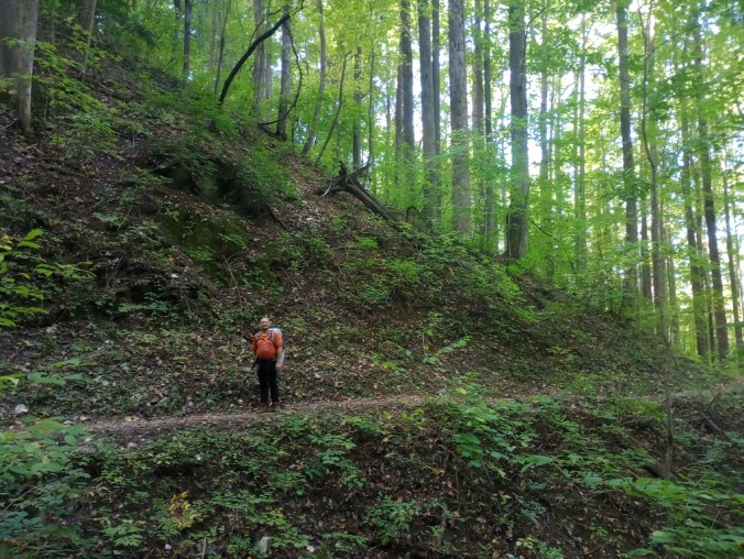
As much as I love short, relaxing days, I also love days when I get to cover multiple ridges and make actual headway on my goal to hike all the miles in the park. (On this trip, I’m doing a great job of collecting all the campsites, but perhaps not sticking the landing on mileage…) Lots of people dayhike 20+ miles in the Smokies on a regular basis, but I’ve learned that it’s dicey to rely on more than 10 miles given the frequency of bad weather. In bad weather, 2 miles per hour is no guarantee, so a 10-mile day becomes a 5+ hour slog. If the temperatures are okay, you’ll survive. But temperatures plummet quickly, and being out in poor conditions gets dangerous quickly.
But luckily, this day had perfect weather. A bit hot, but nothing terrible. Plus, this was a special day for me, because aside from the half-mile or so to Bote Mountain Trail, it was going to be all new terrain. I was supposed to hike the lower part of Bote Mountain on my last Smokies trip, but a deflated air mattress made me divert. (Thank you Amelia!) So I never hiked Lumber Ridge, Meigs Mountain, or any of the other trails connecting Anthony Creek to the Elkmont side of the part. I’m not saying it supposed to be this way but it was a joy to hike this area today, and the day when I was supposed to hike it was thunder and lightning and a deluge, so… this was way better.
I spent part of yesterday plotting out the mileage. Gistrailblazer had been nervous about covering 13 miles in a day, so I split the day up into 13 bite-sized pieces. Somehow, referring to 13 legs of a journey felt less daunting than 13 miles! The legs were:
1. All packed up! (Hey, we needed an early win.)
2. Up to the junction with Bote Mountain Trail (and I mean UP!)
3. To Lead Cove Junction
4. To Finley Cane Junction
5. To Campsite 18 (currently closed – otherwise, we would have split this day up and hiked to Campsite 18 the day before rather than stopping at Anthony Creek)
6. Stopping for water at Campsite 18 (I don’t remember doing this – I think we decided we were good to keep going)
7. A short climb
8. 2 small cemeteries (we didn’t actually see this, but we did see where a reroute has happened – or perhaps it’s an unofficial Tremont trail or something)
9. Tremont! (It’s an environmental center and I knew it would be neat, but I underestimated its awesomeness)
10. Lumber Ridge climb (hardest 2.5 miles of the day, but still not bad)
11. Lumber Ridge flats
12. Meigs area climb
13. Campsite 19!
Was it silly? Sure. Did it help? Sure did.
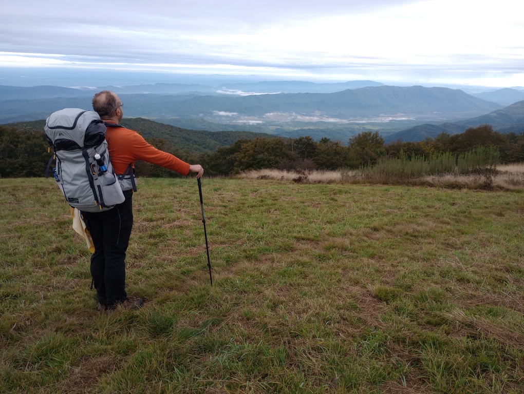
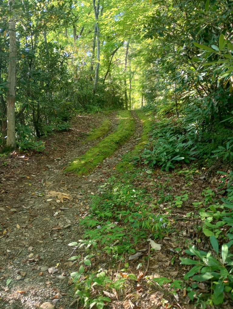
Lots of things helped, like views from Bote Mountain. And plentiful water (at least compared to the first half of our trip). And neat trail, like when we could see ruts from when Bote was a driveable road (at least most of the way up the mountain). I think it’s so cool how there are echoes of past ways of life in these mountains. Seeing the old tracks, left over from decades and decades ago – it’s a piece of history that will disappear someday, but for now, it’s really cool.
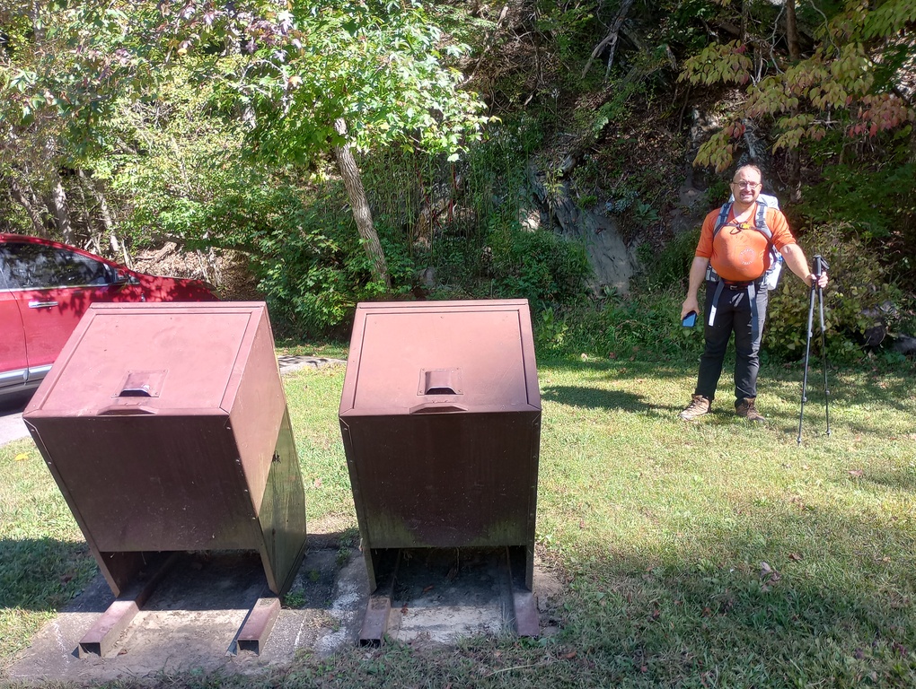
Another thing that helped was hanging out at Tremont. Not only were we able to throw out our garbage (the bulk being a bigger problem than the weight), but they also had a soda machine and we enjoyed that immensely, along with a flush toilet. Very, very fancy times for us. We found some shade near the garbage cans and just hung out for about an hour. We needed to rest for what was to come.
Although the climb up Lumber Ridge was long and hot, we did encounter some water, which made all the difference. Over the course of the day, we had water in numerous places. and the gratitude I felt…
The best part of the day for me was sitting on the very top of Lumber Ridge. There was a neat little area where we could collapse and breathe, knowing that we had a couple miles left, but nothing remotely challenging. Often, it’s hard to know the exact moment when you’re at the top, but this could not have been more obvious. I ate some gummy bears and was extremely happy.
Overall, it was a really fun day.
Unfortunately, Upper Henderson is kind of a sty of a campsite; the bear cables were broken, there was wild boar activity, and the most compelling place to camp was right off the trail. But we saw no one go by the entire time we were there. Also, if we were gonna have a less-compelling campsite, what a great place for it to be: we were pretty darn tired and had not much interest in exploring, or doing anything besides being horizontal.
October 4, 2025 – 2.6 miles
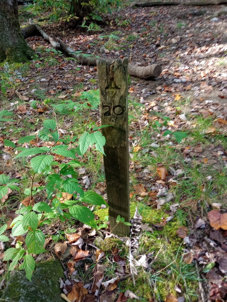
Upper Henderson to Campsite 20, King Branch
Was today silly? Yes. But my rule is that I always camp out very close to where I’m getting picked up on my last night in the woods. So, a short day was had, and it was absolutely divine.
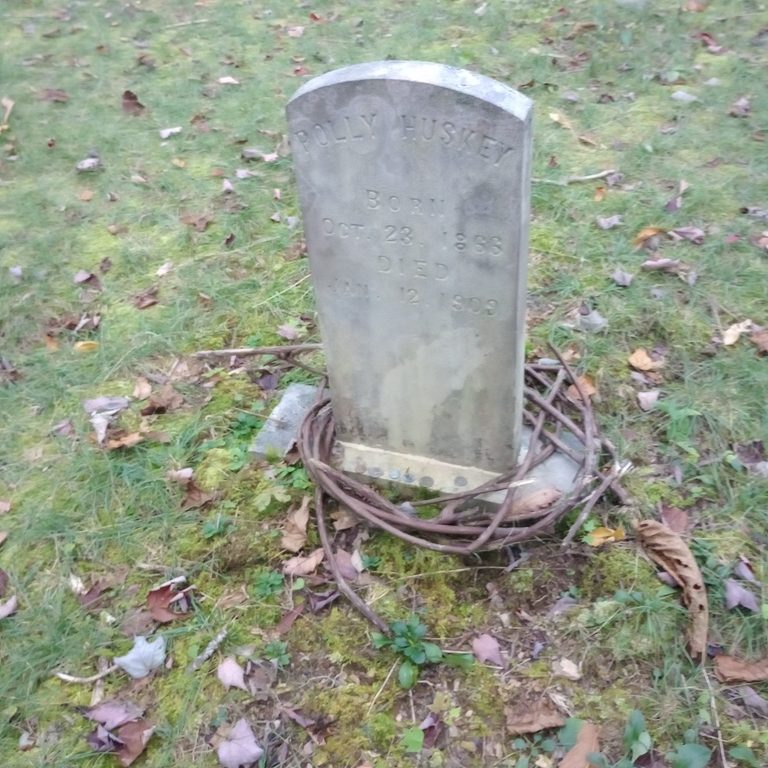
We had plenty of time to visit a Huskey family cemetery on our way; the same family that Huskey Branch Trail is named after. One would presume.
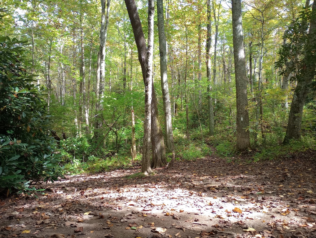
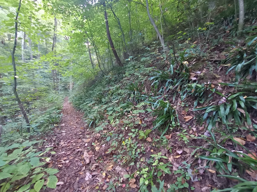
It was a pleasant forest today; open woods and a trail hugging contours. It was the most lovely way to spend a day. I read books and lounged and journalled and processed the journey we’d had. I gain as much (or more) from nights spent out there as I do from miles traversed.
October 5, 2025 – 2.7 miles
King Branch to Elkmont
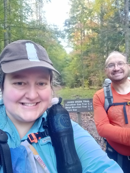
Today we hiked the rest of the Meigs Mountain Trail to Jakes Creek. There isn’t much to say about an hour in the woods, but it was lovely.
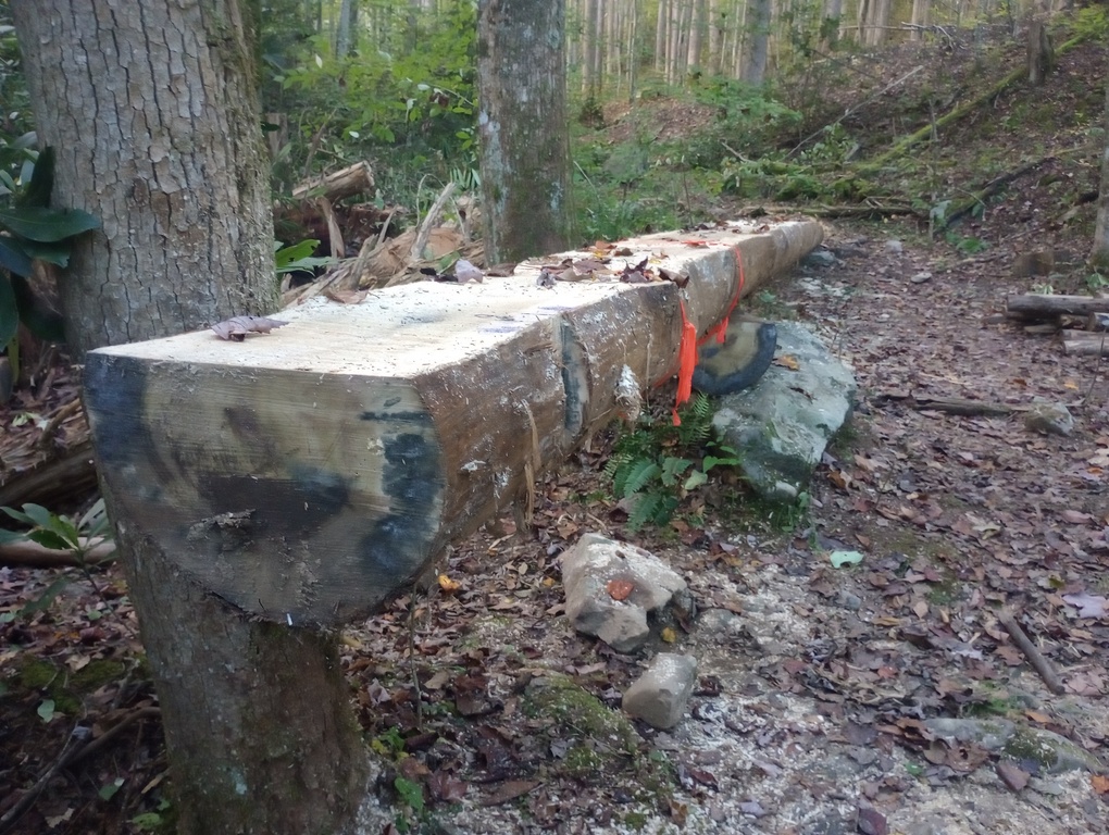
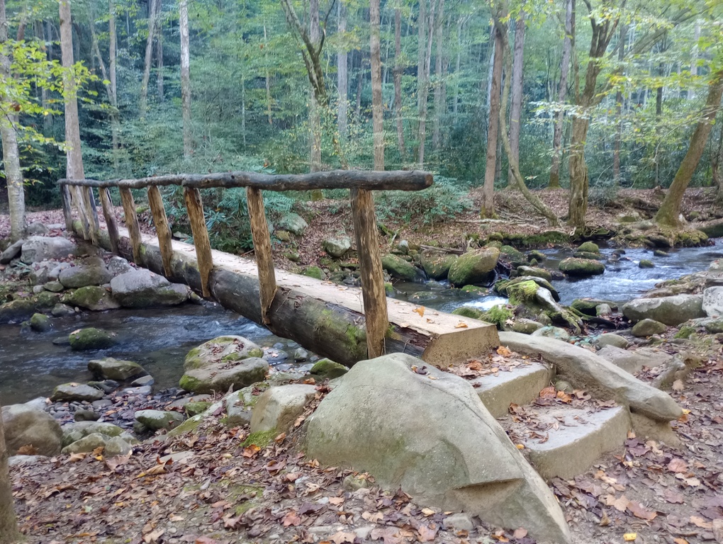
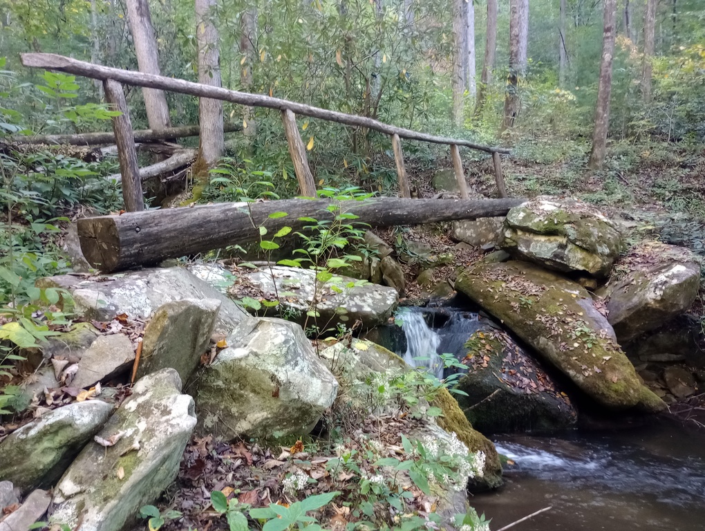
We saw a log being prepped to be a new bridge. Lots to explore as we neared Elkmont. Last time I was here, I was coming from Little River, so this was an incredible new area to see on my way in.
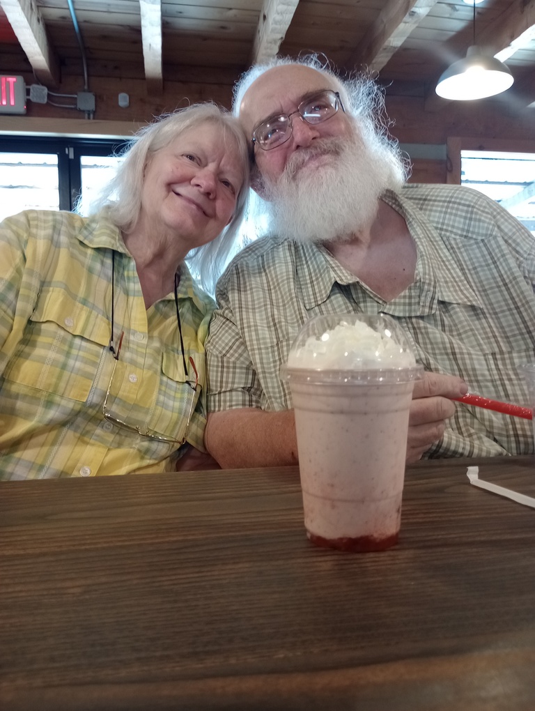
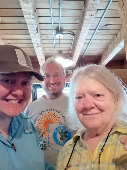
We soon met up with Mom and Dad and our hike was officially over!
Best campsites of the trip, according to gistrailblazer:
1. Mollies Ridge Shelter (which I firmly believe cannot be considered as the same category as a normal campsite – otherwise, we agree on rankings)
2. Sheep Pen Gap #13 (this is my #1)
3. Anthony Creek #9
4. King Branch #20
5. Flint Gap #14 (although this one isn’t amazing, but has… a unique character)
6. Leadbetter #10
7. Upper Henderson #19
There really was nothing to recommend #19.
October 9-10, 2025 – 7.7 miles
PS. Twentymile Loop
After a great stay in Pigeon Forge, Bryson City, and Fontana Village, I had time for one more quick night out. My parents were staying in Fontana Village and they dropped me off at Twentymile Ranger Station one evening. I had hoped to do the loop clockwise, but the sun was fading, so I went counter-clockwise.
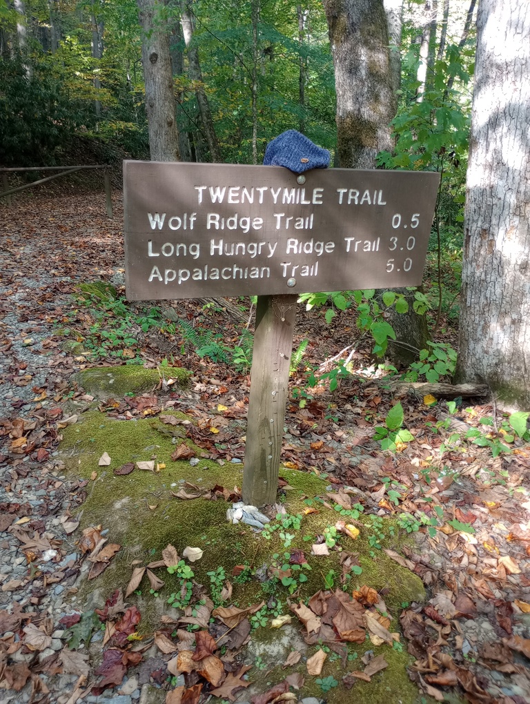
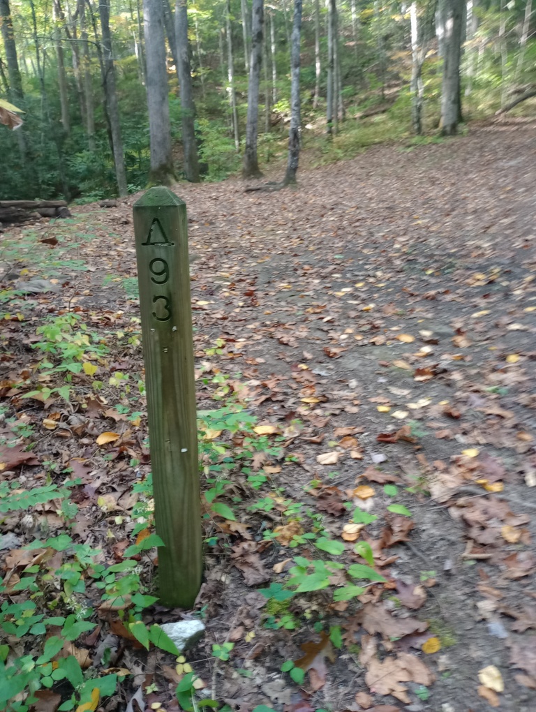
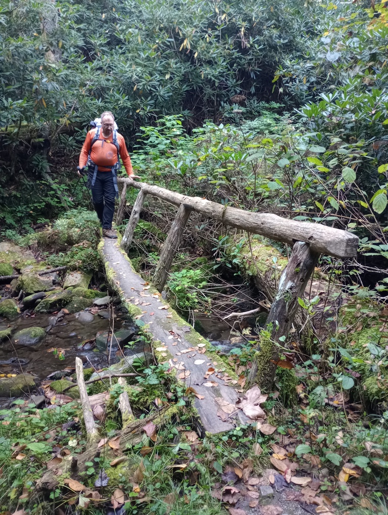
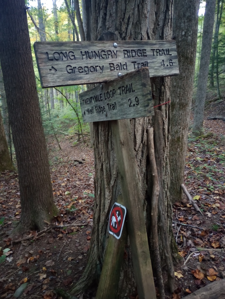
It was a fairly gentle nearly-two miles to Campsite 93, which I had to myself. The description of the place was level, which I found to be untrue. I did not sleep well, but I was happy to wake up at 6:45, pack up in the dark, and be on trail by 7:30. It was all uphill to the junction with Long Hungry Ridge (someday…), but then I got significantly more variety on the Twentymile Loop Trail. My elevation profile showed lots of fords on this section, but everything had a log bridge over it (admittedly, once the log bridge wobbled so much that I chose to rock-hop rather than use it…).
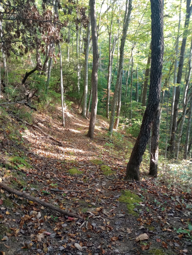
As I crested a new hollow, I glimpsed a bear. I knew it was there before I heard it or saw it. I was so happy; I had just spent an entire week in the Smokies and not seen one. Is that even legal? It knew I was around and left quickly. The trail highlighted many little hollows where the sun wasn’t even reaching at this point.
The last mile of the loop was very rocky, but I arrived at the trailhead feeling great and inspired and already homesick for the Smokies.
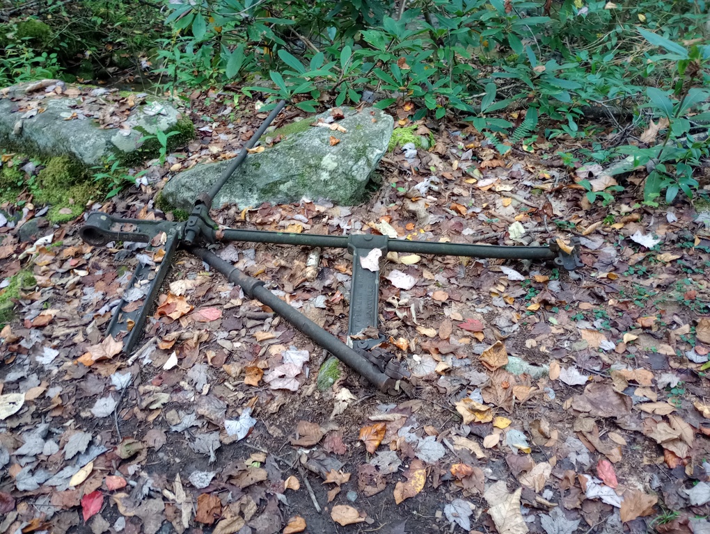
And Twentymile had seen better days.
Great Smoky Mountains 900 miler tracking:
Trip mileage: 54.7
Trip unique miles: 45.9
Total mileage in the Smokies to date: 282.7
Total unique mileage: 255.2
Shelters/Campsites: 13, 14, Mollies Ridge Shelter, 10, 9, 19, 20
