I won’t be on trail for awhile yet, but I also won’t be home, so in a way my journey begins today. I’ll be turtle-sitting and roadtripping for the next couple of weeks, but thought I would give an update on what’s coming up.
This is a journey I am calling Expedition LOST (Long Overdue Southeastern Trails). It is a combination of 3.5 trails I have wanted to hike since around 2010. I’ll be hiking from early April to early May.
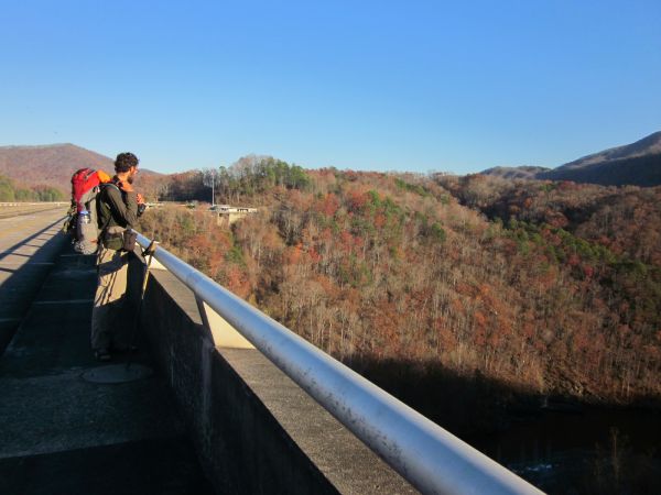
In early April I will be setting out onto the Foothills Trail with a friend. The Foothills Trail is a 77-mile trail through surprisingly mountainous terrain of South Carolina and a bit into North Carolina. Unlike most trails I have hiked, it is a west-east trail, as opposed to being north-south. We will shuttle from Table Rock State Park to Oconee State Park with the legendary Taz, then spend a week enjoying spring in South Carolina, including a summit of Sassafras Mountain, South Carolina’s high point!
After a zero day in town, I will get dropped off at the southern terminus of the Bartram Trail. This trail intersects a couple of times with the Appalachian Trail, which is how I discovered that the Bartram exists. The trail begins in Georgia and ends in North Carolina, over a hundred miles north. I first saw the Bartram Trail at Cheoah Bald (its northern terminus) but also Wayah Bald, where poor weather guaranteed no view. I look forward to maybe, hopefully, having a view this time. I’ve owned the maps and guides for the Bartram Trail for over a decade and kept thinking “next year…”

The Bartram Trail ends on Cheoah Bald at the Appalachian Trail. From there I will hike north for a couple of days on the Appalachian Trail to Fontana Village and Fontana Dam. I am incredibly excited about being back on the AT, even if only for double-digit miles. I will resupply in Fontana Village, snag a shower at the “Fontana Hilton” (not a Hilton) and prepare for the next leg of the journey.
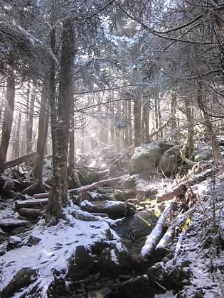
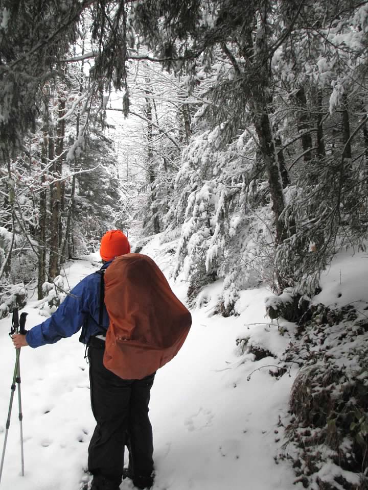
My last week of backpacking will be within the Great Smoky Mountains National Park. I have a route planned which will take me to Horace Kephart’s old homestead area, several cemeteries, and too many ascents to name. I will know more about my itinerary later this week when I (hopefully) secure my permit. I have hiked about 180 miles in the park, all told – mostly on the Appalachian Trail (2010) and Benton MacKaye Trail (2012), and this route will easily push me up over 250. It’s a far cry from my lifelong goal of being a Great Smoky Mountains 900-miles (someone who hiked all the trails within the park), but at least I am putting a dent in it. I am also excited because I have never experienced the Smokies in full-on spring glory.
It’s almost feeling real.
