The background: It was October 2026 and I still hadn’t finished a trail that year. I had a few plans that went awry, like having influenza B on the Laurel Highlands Trail this spring. Sorry, gistrailblazer, I know that sucked. It was a hard year for outdoor adventuring.
I had one last shot to get some time on a trail. I had two events in the Ely area on or near weekends, and only 1.5 hours from Ely is Voyageurs National Park. For years I’d read some truly heinous reviews of this trail called Kab-Ash, the only backpack trail in the entire park. At 24ish miles long over remote terrain, I didn’t have time to do the entire trail in one go, but over two weekends, I could totally pull it off, awful reviews be damned.
The Kab-Ash Trail connects the Kabetogama and Ash River communities, hence… Kab-Ash. Some maps call it Kabash, which is fun to say. Various distances are cited in various locations, an issue compounded by the the fact that the western terminus has recently changed due to a parcel of private land closing access. There are other reasons for the questionable distances – the trail has a series of loops, for which a hiker will choose one way or another. If a truly demented hiker were to backtrack and do every mile of every loop, the total mileage would of course, increase.
Then there are the maps. Because of the western terminus change, hardly any maps are correct, including the map in the NPS app. The downloadable park map on the NPS website is accurate in this regard, though on any map, mileages are suspect and there are inconsistencies. Some loops are open. Some are closed. Generally, intersections are marked with a map – though one critical intersection is not – and some of those maps have sections scratched out which no longer exist.
I also think that this trail is subject to very real “trail creep” – no, not some weirdo who follows you and wants to tell you about his lightweight gear, but when a trail gets longer due to hikers having to find their way around obstacles, like downed trees. There are many out here. If each mini-reroute adds 20 feet onto the hike, and there are 30 of them created every year, then the trail will grow by over 0.1 miles per year. That adds up fast. And this is a very conservative estimate, as I could not guess how many downed trees I needed to walk around, and most added more than 20 feet.
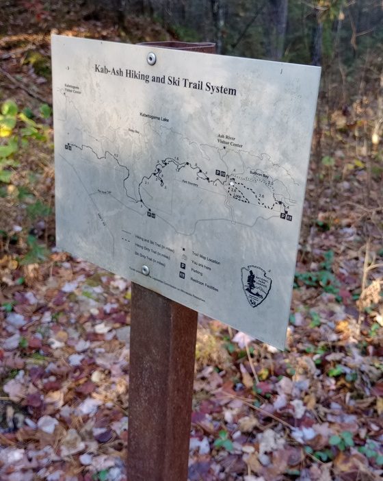
So what is a hike of the Kab-Ash Trail and what is its distance? I’d say it’s a route, mostly through Voyageurs National Park, which connects the Kabetogama area to the Ash River community, and it’s a cliche, but whatever the map says, whatever the signs say, your mileage may vary.
Day 1, October 17
With Hot Beef
3.6 miles
After a volunteer event near Tower, Hot Beef and I each drove up to Voyageurs National Park and parked at Beaver Pond Overlook, one of the main trailheads for the Kab-Ash Trail. I had reserved Blueberry Ledges Campsite for the night – 1.7 miles from the trailhead – but it was too early in the day to hike in, yet too late in the day to flip-flop our direction of travel and go in from the other direction. We looked at the map and realized we could easily hike the 2.5 mile section from Ash River back to Beaver Pond Overlook, then backpack in. We threw together a daypack (thanks for carrying it, HB!), drove a car to Ash River, eventually found the trailhead, and took off.
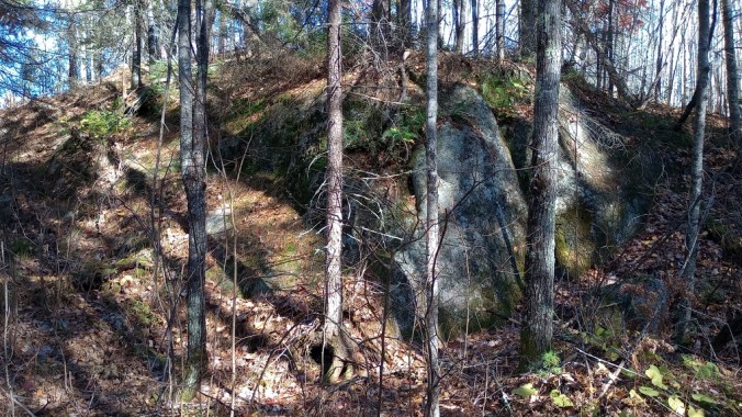
The trail was better-marked than I’d hoped, but though the terrain was fairly easy, it wasn’t fast. We soon crossed into the park. Certain areas had thick puncheon that was clearly being ignored by most hikers. Perhaps it was more necessary to use in the spring.
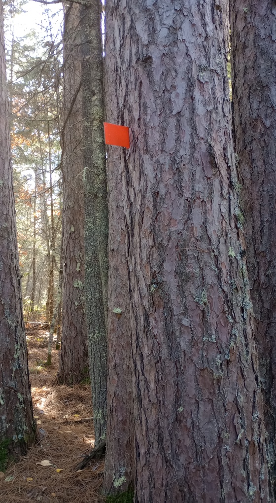
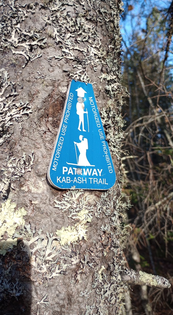
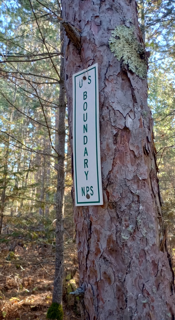
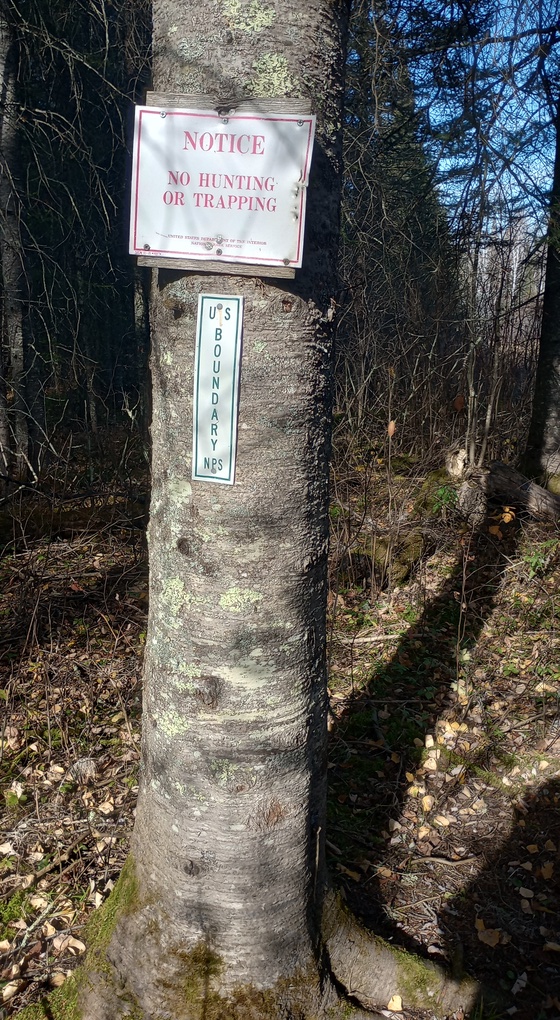
On the eastern half of the Kab-Ash, the path is marked with orange metal “flags” attached to a tree or blue markers. We also saw signs marking the NPS boundary.
After some time, it became obvious that this section was in fact, not 2.5 miles as the map said. My theory is that the 2.5 miles are from the park boundary back to Beaver Pond Overlook, but this is not what the map said, and it is not how the map treats the western end of the trail (which also meanders outside the park boundary).
When we finally got to the car, we were 3.6 miles in and our window of opportunity for getting into the campsite before dark was closing too close for comfort. Given our speed, and the time it was going to take to shuttle the cars around, we’d overshot it. Whoops. While we could have probably made it, given that we no longer trusted mileages reported on the maps, it felt too sketchy.
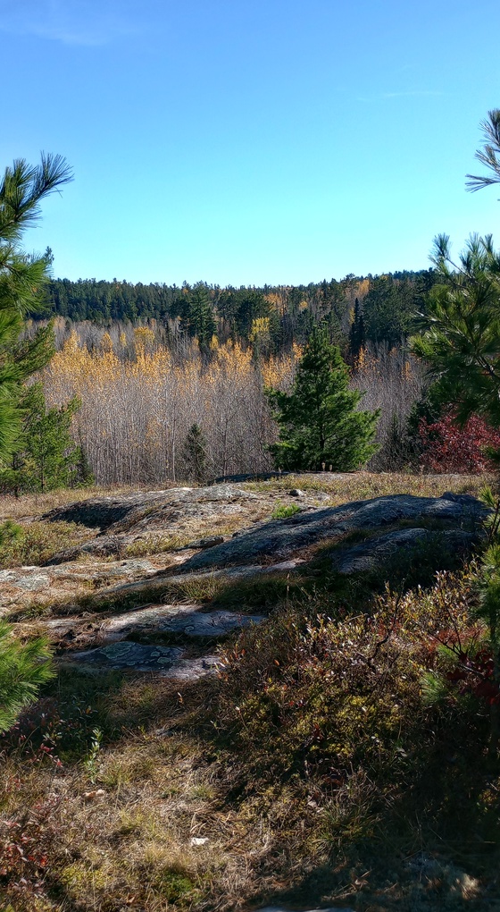
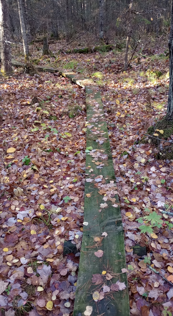
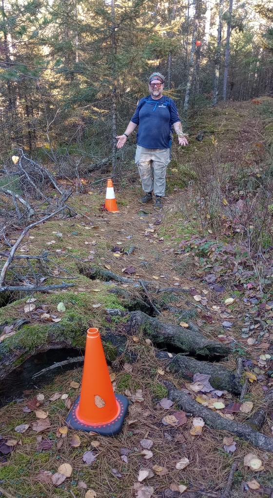
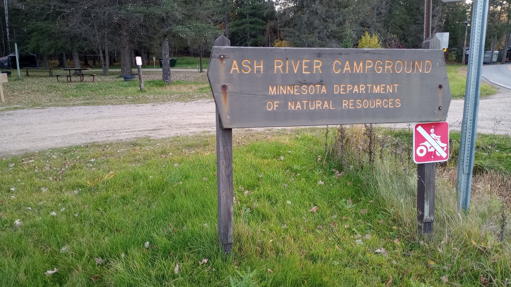
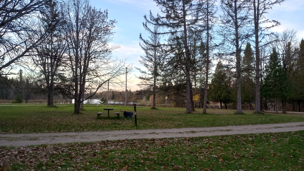
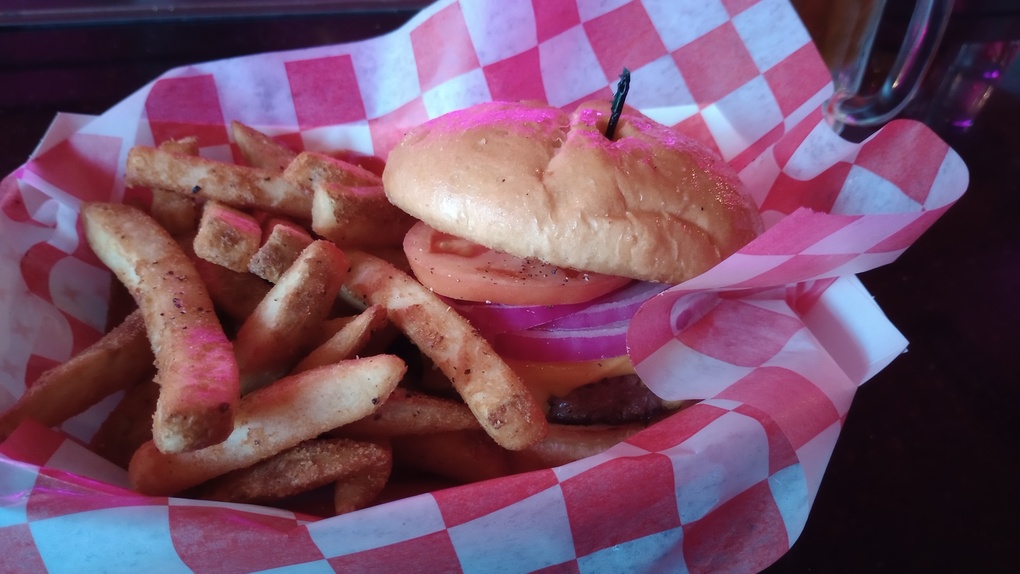
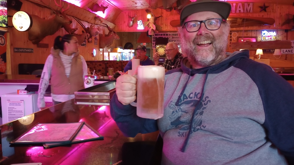
Happily, we had driven by the Ash River Campground in the Kabetogama State Forest. We reserved a site and camped there – a small but nice campground I’d always wanted to camp at anyway. We shared the entire campground with only two other groups, and one of them left first thing the next morning. That night we went to AshKaNam for their final night of the season, where we had frosty mugs of Castle Danger beer and great burgers. Plus they had wi-fi. No regrets.
Day 2, October 18
With Hot Beef
8.3 miles
After dropping off a car, we drove back to Beaver Pond Overlook to begin the day’s hike, now 1.7 miles longer than we thought it would be, since we didn’t camp at Blueberry Ledges the night before. But on the bright side, we had daypacks, so each step was lighter than it otherwise would have been. A good trade, all in all.
The trail was easier than anticipated, and we agreed that we’d probably actually had enough daylight to make it the night before – but we didn’t quite know that at the time. It was also nice to not have the stress of disappearing daylight.
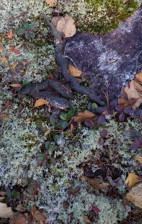
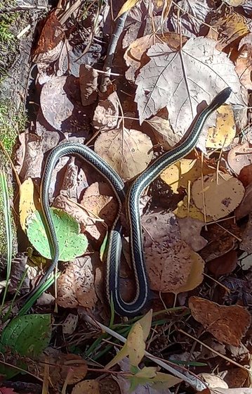
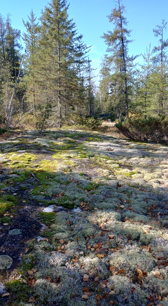
But hooray, the mileage on Day 2 felt much more on the mark than the day before. We’re not aiming for perfect, but close would be good, and Hot Beef’s tracker was more or less in line with what we were seeing on the maps. How the miles felt seemed about right as well. The trail was easy to follow with only one animal sighting (garter snake) but lots of animal signs, including moose prints. The sky was blue, the leaves were golden, and we enjoyed lunch on some licheny, mossy rock ledges. The day could not have been more lovely.
Only at one point did I get turned around: after a large downed tree, the trail skirted a pond, and my inclination was to cross a beaver dam. It’s all the Boundary Waters Canoe Area Wilderness hiking I’ve done! Hot Beef saw the real trail and alerted me to it, and we were quickly back on the right track. I’d have figured it out, and I think if I hadn’t just diverted around the downed tree, I never would have lost the trail in the first place. Overall, one moment of confusion in an 8+ mile day is a pretty good day.
Although I didn’t have navigation problems, it doesn’t mean the trail was in amazing shape. There were many sections of woody growth that slapped into my legs as we walked through it and places where dying ferns would have obscured the route a month ago. However, considering its remote nature, I was pleasantly surprised.
The only other issue with this section is that a sign is missing where one of the trail’s little loops begins. We blew right by the intersection and saw nothing. Every other intersection on this section was marked with a sign, even two former junctions where a trail no longer exists. It’s too bad, because I suspect the little loop is a really good hike. I hope its sign gets replaced, or at a minimum, I hope its intersection gets cleared out so it looks like an intersection. By the time we realized we’d passed it, we were a decent way past it.
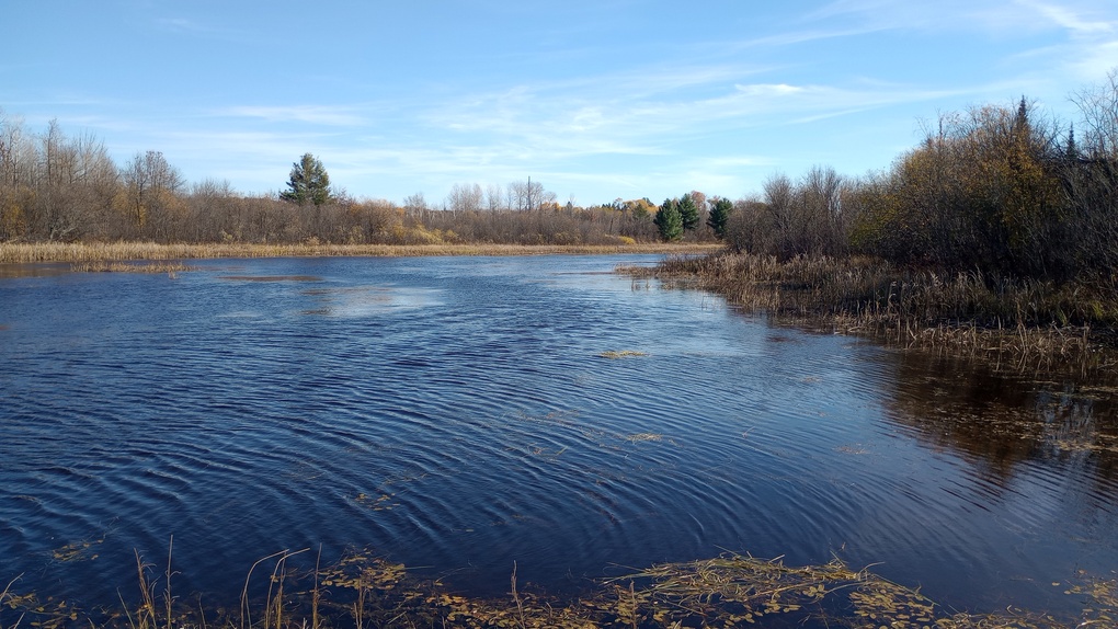
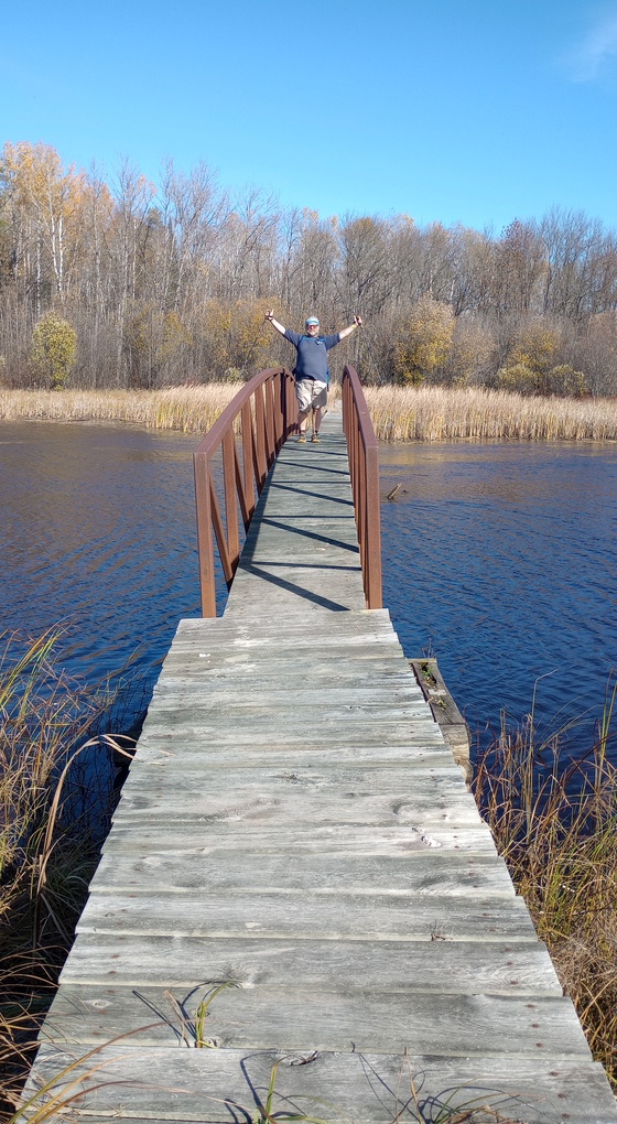
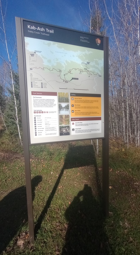
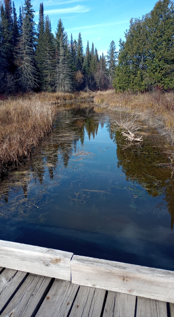
One of the highlights of the day was crossing a large bridge over a waterway that leads up to Daley Bay. It was a really neat structure, and fun to cross. From there, we were practically back at the trailhead, and we were done sooner than I thought we would be.
This was a pleasant day of hiking, with minimal trees to climb over, a little brushy in spots, but overall pretty darn pleasant.
Day 3, October 23
Part A
9.0 miles
It’s all fun and games when you have a buddy to help you enjoy the trail and to create a built-in shuttle service. But when you’re solo, it’s not quite as fun. I had about half of the Kab-Ash Trail remaining and no leads on a shuttle, which meant having to do an out-and-back hike.
That was okay. The weather had been unseasonably nice for late October and the number of miles was not so high that I felt it was unreasonable. I kind of knew what to expect from the trail and I was no longer intimidated by it. I knew the Kab-Ash wouldn’t throw anything at me that I couldn’t handle. I left my work event in Ely and headed straight to Wakemup Bay Campground, where I slept warmly. I was the only person in the entire campground.
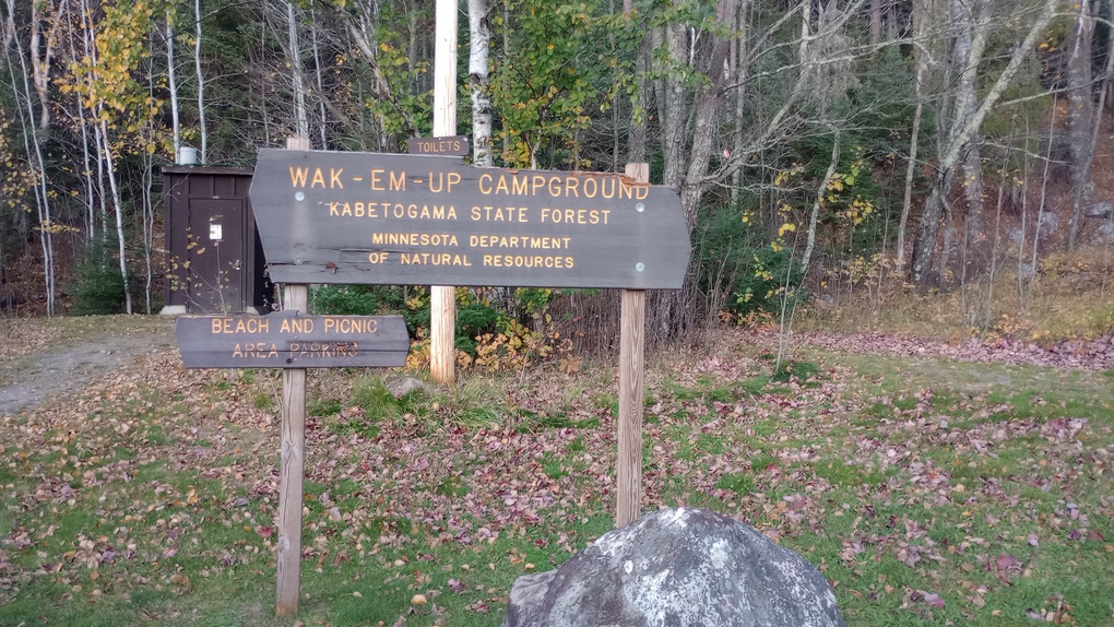
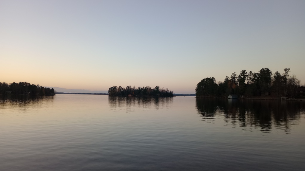
I woke up at first light and drove straight to the western terminus of the Kab-Ash Trail. Formerly located on Salmi Road, the western edge of the trail now coaligns with the Arrowhead State Trail. I never knew the section near Salmi Road, nor did I drive down the road to scope out the old trailhead. Some of the maps show this new route; most don’t.
Notices about the closure say to check in at a Voyageurs National Park Visitor Center to learn more information, but they’re all closed this time of the year, so that’s really hard to do.
Interestingly, there is no sign of the Kab-Ash Trail at the parking lot (or anywhere along the Arrowhead State Trail, for that matter). I parked and was hiking by 8:30 – not bad, considering the sun doesn’t even rise until after 7:30 these days!
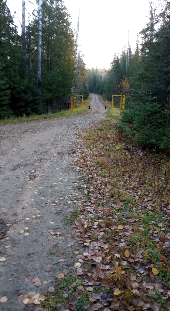
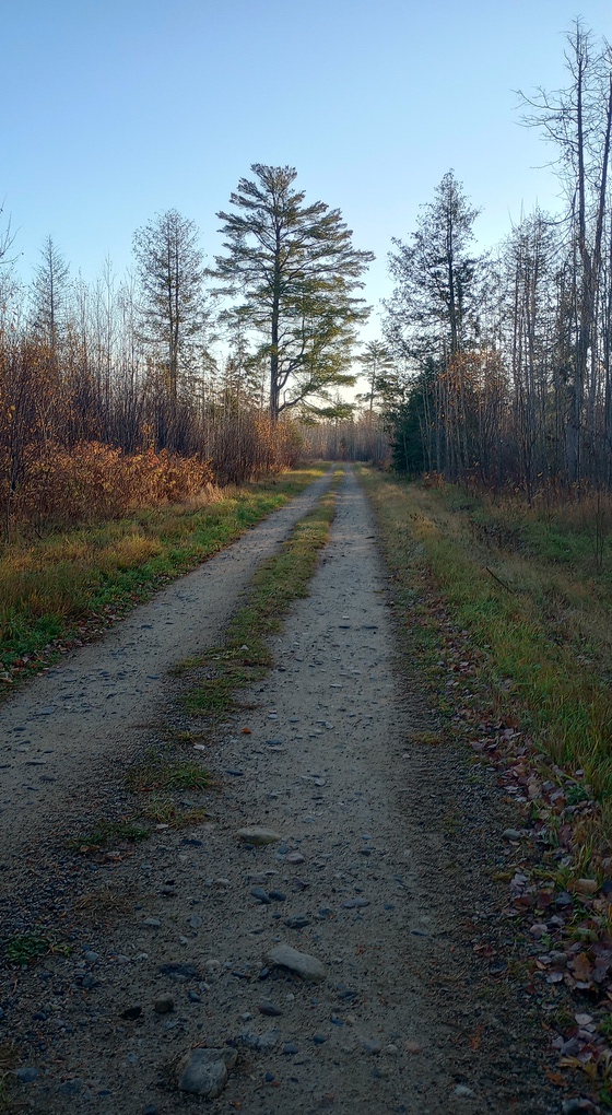
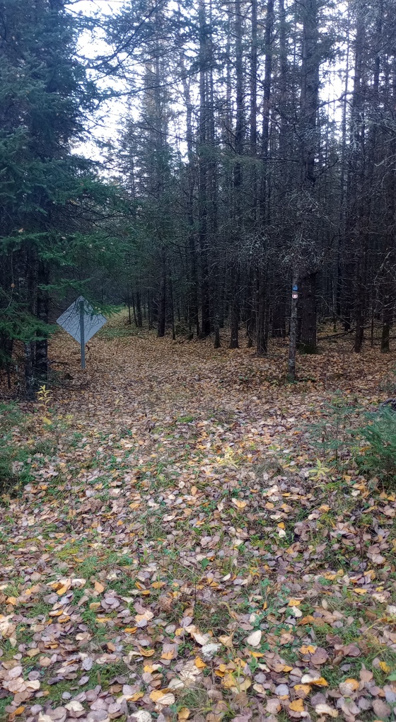
The bright side of the reroute is that the Arrowhead State Trail is fast and easy, and I saw no other users. The wide path makes it a good place to theoretically see wildlife; other than some grouse I saw no critters, though I did see wolf scat of various ages. After about a mile and a half, I came to a very obvious intersection where the Kab-Ash crosses the Arrowhead State Trail.
I think this intersection is strange. There was no signage at this intersection alerting westbound hikers about the Salmi Road closure. A westbound hiker could easily cross the Arrowhead State Trail and continue onto the Kab-Ash, only to get stranded, I guess, near the trailhead. I’m not sure how that would work, but I suspect it wouldn’t be pleasant. I was glad to be eastbound, unable to mess that up. But don’t worry, I soon messed something else up!
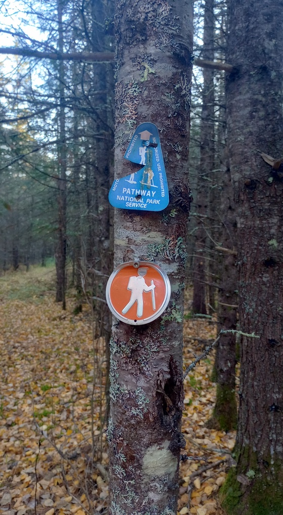
One of the differences on the west side of the Kab-Ash Trail is that this little orange hiker guy was often used to mark the trail. We still had the typical metal reflective orange flags and very rare blue Kab-Ash logos, but the little orange hiker guy was very prevalent.
Within 15 minutes of stepping onto the singletrack, I came to a short bridge over a wet area. Most of the small bridges like this are optimized for skiing: no steps and a ramp up to the main part of the structure. Heading up was fine, but when I stepped on the ramp to get down off the structure on the other side, it was quite steep and I wiped out. I crashed down hard.
My upper thigh/rear end hit part of the wood on my way down, and my chin connected with sharp, reedy brush. I can’t remember how exactly I landed, but I do remember sitting in the brush assessing my limbs and ankles, amazed that somehow, I was still in one piece. I tentatively stood up and continued walking.
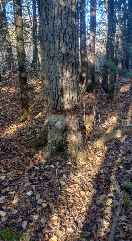
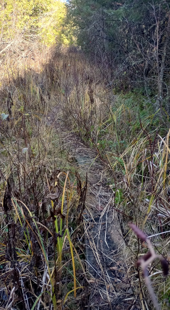
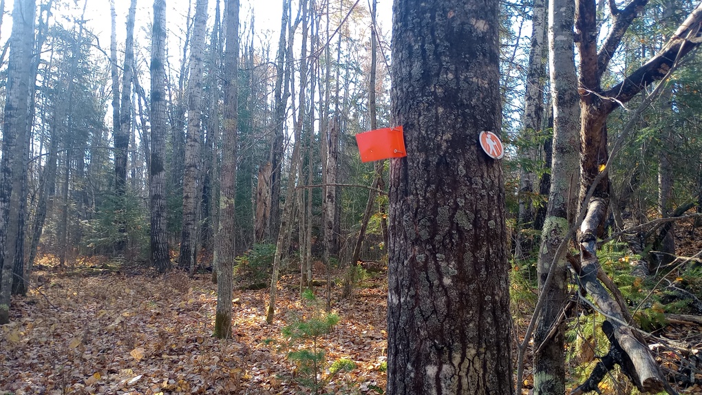
I’m so glad I was okay, because I had a lot left to see: the trail traveled through beaver-impacted areas, past some large pines, and into the park boundary. I was moving quickly, despite my recent fall, and although I had a hard turn-around time set for 11:00, by the time it was 10:30, I had reached this double-marked tree and figured I had gone far enough. I was 4.5 miles in, which meant I had 4.5 miles left to get back to my car.
Much of this area was fairly brushy, and I even saw a deer tick crawling on me, which was a little offensive; I think that ethically, they should cede their right to exist after the first frost, but they are unethical creatures. I wasn’t thrilled to walk through some of the brush a second time.
Although doing this section as an out-and-back was a little tedious, I did take the multi-use trail for a longer section on the way back out as to avoid the structure where I fell. It added a couple of tenths to the route but added significant relief. I didn’t need to revisit that spot.
I returned to the car at 12:20. The next hour was an absolute delight. I changed all my clothes, ate lunch, had some coffee, charged my phone (which I usually don’t have tracking me, but I enjoyed seeing my progress on this day), and then I drove to the Kab-Ash trailhead on Ash River Trail.
Day 3, October 23
Part B
4.2 miles
On some maps, the trailhead along Ash River Trail (a road) is called Daley Trailhead, but the signage at the trailhead itself does not support this; it just says “Kab-Ash Trail.” I arrived, repacked my backpack, and took off.
The first half-mile or so I’d hiked the previous weekend with Hot Beef, and I was excited to see where the trail led when I took the western route. I was immediately plunged into a cedar swamp with some puncheon, and eventually it led to a major bridge shared with a snowmobile trail. After crossing, the trail entered Voyageurs National Park again – it kind of skirts the border in a few places all along the trail, so I did get used to seeing those Boundary Markers.
I was pretty tired after everything I’d already done that day, so the next couple of miles were a bit of a blur. I knew that I would see them again, so I wasn’t too worried about taking pictures. I admit that as I crossed the three-mile mark, I began to get the heebie-jeebies, wondering if I could possibly have missed the side trail to the campsite. I remembered the lack of any map at one of the loops the previous weekend, and the complete lack of a map on the western side of the trail. Maybe the intersection wouldn’t be marked?
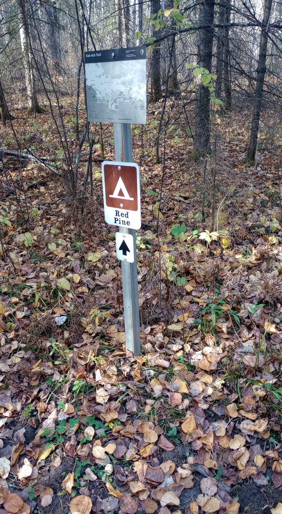
But it was, of course, and I easily found my way to the campsite. The map at the Red Pine Campsite junction is the westernmost map of the Kab-Ash Trail, unless one is hiding in the lost section near Salmi Road. I turned right, and saw the trail up to the campsite, but I stayed on the spur trail to water. I knew if I didn’t hike this stretch now, I would probably not do it. I followed it nearly all the way to the water, but the trail got incredibly wet and I decided I was close enough. It’s a slog to get to water, and I didn’t need wetter shoes. They were, somehow, actually dry.
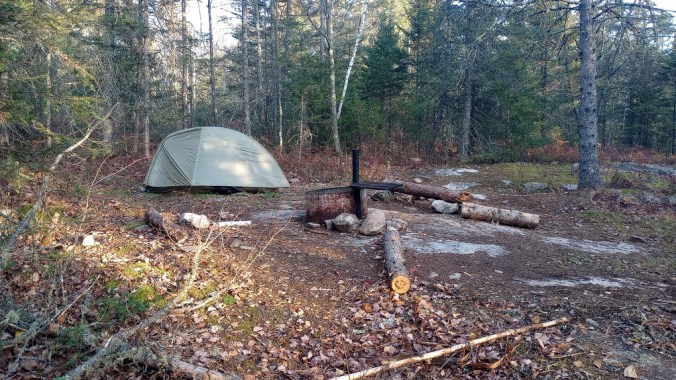
Red Pine Campsite was okay. The trees were fairly spindly, and I saw only one obvious place to put a tent, and even that wasn’t amazing. Someone had cut a bunch of pine boughs, which held in moisture, so the tent site was much more damp than it had any right to be. There was no view, but it was pleasant enough. I had a bit of a challenge bear-bagging, but I made it work, and saw no signs of animal activity. Surprisingly, there was some cell reception, which allowed me to check the forecast.
It rained that night, lightly, just as predicted. I had booked the site for two nights, but when I looked at the forecast for the next day, I quickly hatched a plan to get out of the woods faster. I had not anticipated going quite so far when I tackled the western end of the trail, so my remaining section to finish was shorter than I thought it would be. Plus, although the campsite was fine, it isn’t really a destination location, somewhere to aspire to spend a lot of time. It’s just… fine.
Day 4, October 24
Part A
2.8 miles
I woke up an hour before my alarm. It was just 6:30, but my body was awake. The rain was due to come at 11AM, and I knew if I could be on top of things, I might get out before it began.
Part A was a dayhike to a double-marked tree where I’d ended the hike the morning before. It was a fairly distinctive tree, but I also was tracking with Avenza. I knew I would not miss it.
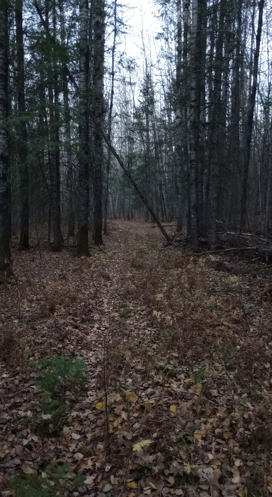
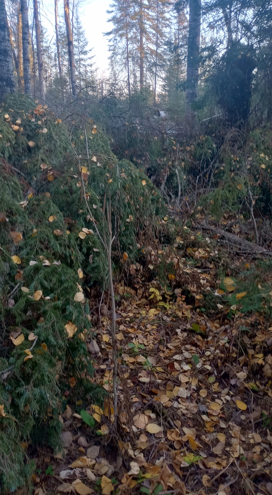
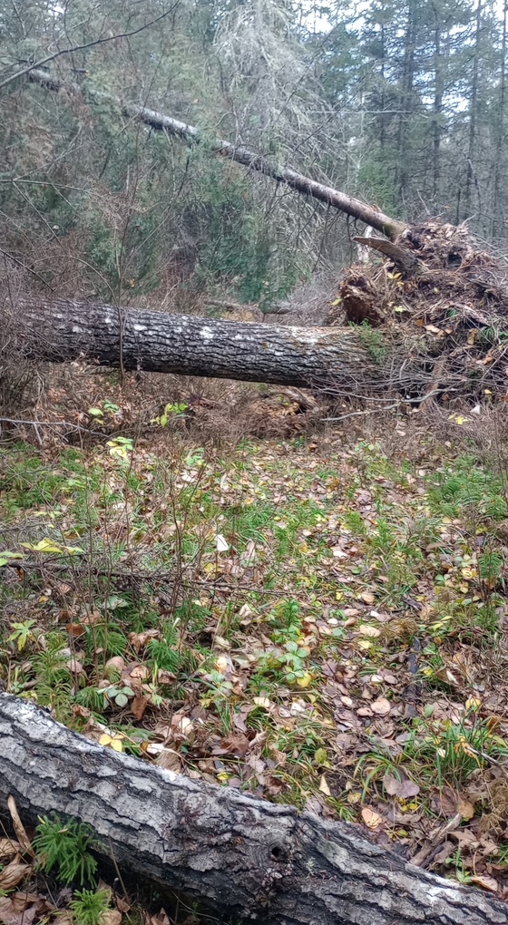
I left the campsite with my pack, food, and enough water at 7:30, 15 minutes before the sun even crested the horizon. At first the woods were dark, but the trail was surprisingly wide, perhaps formerly a logging road, or once a well-maintained ski trail. Soon, however, I came to the types of blowdowns the Kab-Ash has plenty of, though this spot was the worst. I had to walk off-trail for hundreds of feet to get around a massive pile of blowdowns.
Then I arrived at a beaver pond, where beavers have made many runs into the woods. Their many trails could be confusing, particularly for people hiking eastbound, where the beaver-made trail are far more distinct than the Kab-Ash Trail is. I think it’s easier for westbound hikers to stay on the right path here.
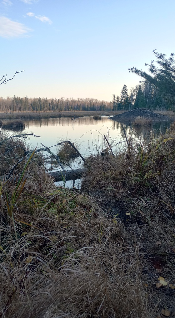
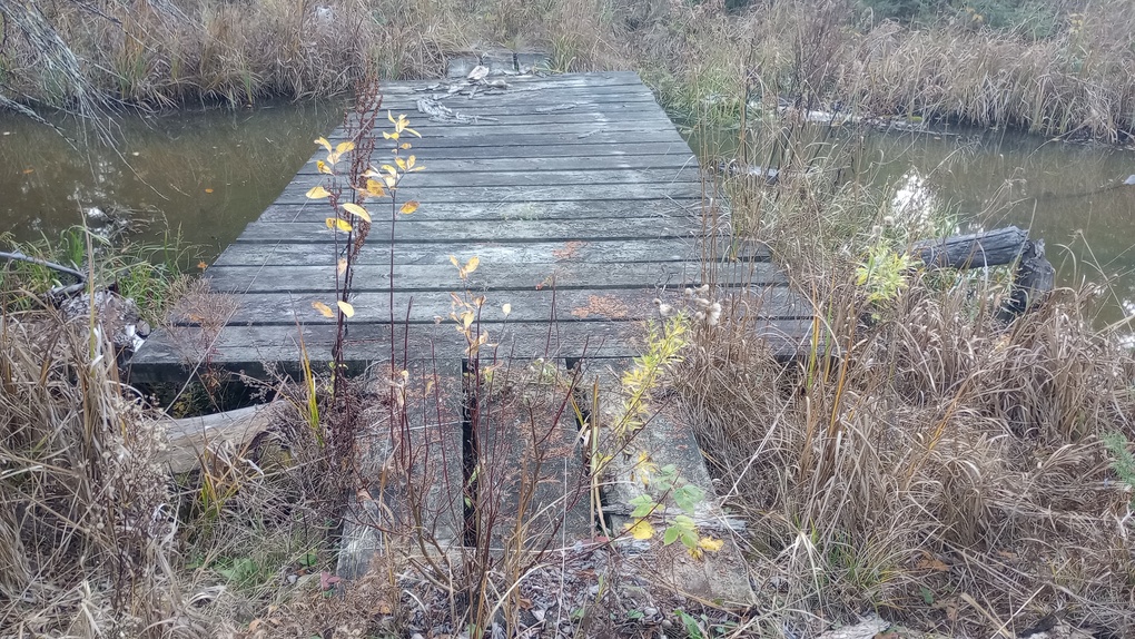
I found it interesting that unlike in the Boundary Waters Canoe Area Wilderness, the Kab-Ash Trail provides structures rather than forcing hikers to cross beaver dams. There was a perfectly serviceable beaver dam just upstream from this bridge, but I admit I was glad to have a human-built structure.
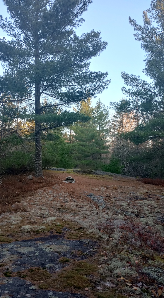
Shortly after the beaver pond, I came to some rock ledges – the only ones on the western half of the Kab-Ash. The cairns did not quite match up with reality, but the orange metal flags got me where I needed to go, and in five minutes I was at the turn-around point. If I were doing this again, I would make the ledges the turn-around point in order to experience them twice, but I had no way of knowing they existed.
I turned around and returned to camp, where I packed everything up.
Day 4, October 24
Part B
3.7 miles
I left the campsite around 9:15.
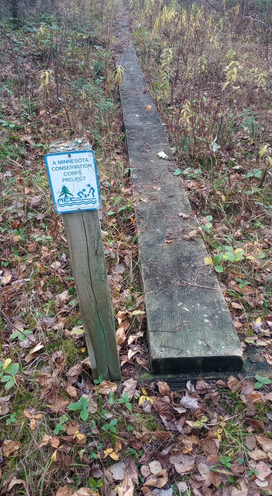
I really enjoyed having more time on the way out to take photos. I also measured this incredible puncheon constructed by the Minnesota Conservation Corps – which dates the project, as it hasn’t been called MCC for ages now. This structure is 0.4 miles long – it’s truly impressive. Only in one place do the logs create a little roller coaster for hikers to balance on, and the rest of it is in fabulous shape. What a cool way to experience a bog – but I cannot imagine how awful it would be in summer.
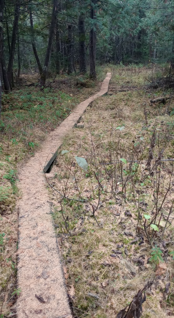
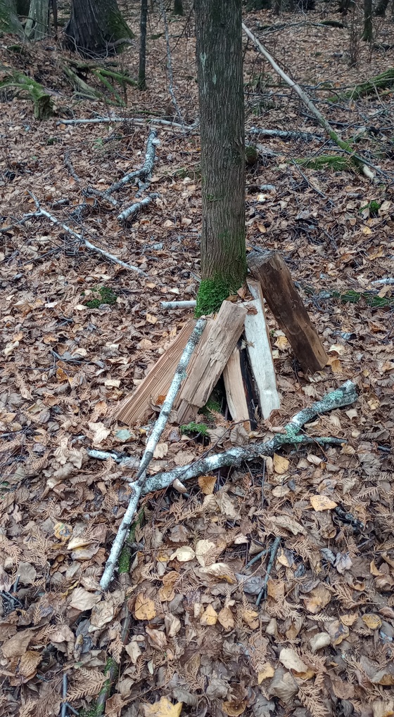
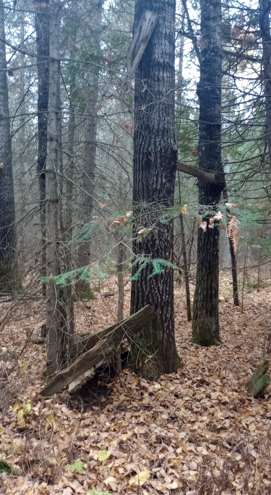
On the way out, I also experimented with going around this one gigantic blowdown, rather than under it. Much better. And I stopped to take photos of the wood that someone had left behind – in a few places they’d Hansel and Greteled the path – they must have tried to carry in wood to Red Pine Campsite and gave up, little by little, on the way in. Unthinkable to carry wood for miles when dozens of blowdowns require just a small handsaw to harvest more wood than you could dream of burning.
The sky was clouding up as I hiked out, and I knew I was cutting it close.
I arrived at the spur trail, which I’d now already hiked twice, and returned to the trailhead just as it began to thunder. Intense rain began shortly after, but I was safely in my car. I’d connected the dots between the Ash River community and Kabetogama.
Final thoughts on the Kab-Ash Trail
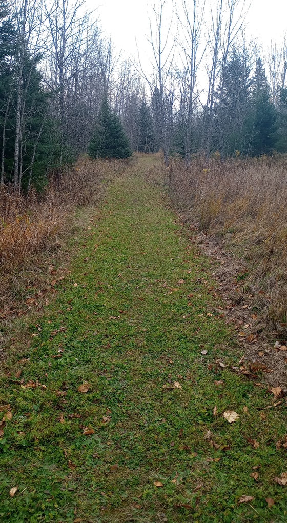
This trail gets absolutely eviscerated online, and I understand why. If you’re collecting national parks, you’re likely visiting during the summer months, and you might expect a well-maintained trail. What you would get is an overgrown, boggy, buggy hellscape. But if you are an experienced hiker in northern Minnesota, you’ll see where this trail shines.
The Kab-Ash Trail feels very much like a cousin to the Boundary Waters Canoe Area Wilderness trails. Both are rugged, wild experiences, and worth doing… after peak bug season, in late September or October, and without any expectation of a manicured footpath.
Here’s where the Kab-Ash Trail and BWCAW trails differ:
- The Kab-Ash Trail is much better marked than any Boundary Waters Canoe Area Wilderness trail. It can be – it’s in a national park, but not in a designated wilderness area, and the rules are different. The maps and markings are really helpful and can make you feel more comfortable.
- The Kab-Ash Trail has more infrastructure than Boundary Waters Canoe Area Wilderness trails. You’re not expected to cross a beaver dam – there will be a bridge. Your feet might even stay dry due to long puncheons, which won’t win awards for being new, but are solidly constructed and plentiful. Again, this isn’t a wilderness.
- The camping situation is… better and worse than the BWCAW. On the Kab-Ash, you reserve your campsite(s) in advance, meaning you give money to the terrible Recreation.gov. On the plus side, you know the campsite is yours. Overall, the quality of the Kab-Ash campsites is just okay, whereas BWCAW campsites are generally quite good, with excellent water access. Water access at Red Pine Campsite… well, your feet would get wet for sure.
- There’s no permit needed on the Kab-Ash Trail unless you reserve a campsite. This made it easy to do a last-minute trip out there.
- There is no population center nearby and I found no obvious shuttle providers, so BYO friend or accept doing an out-and-back hike. There is no major elevation gain, so out-and-backs are not terrible. The Kab-Ash Trail is not frequently hiked, so this just… doesn’t exist.
- To me, it felt like I was hiking through thicker brush on the Kab-Ash Trail than I usually do in the BWCAW. I think this for a couple of reasons: 1. There are more groups working to maintain trails in the BWCAW than in Voyageurs National Park and 2. There are more hikers in the BWCAW to stomp on brush and keep the pathway open. Another reason to visit the Kab-Ash in October when much of the brush dies back.
- Overall, I would rate cell reception (Verizon) as much better than expected. I was able to text from Red Pine Campsite, and I consistently had enough service to text along the trail, though I’m sure pockets of nothing exist out there. I’ve never had such good cell reception in the BWCAW – and while it is generally nice to disconnect, it can be good to check in.
- You’ll usually see someone on a trail in the Boundary Waters Canoe Area Wilderness… but expect to see no one on the Kab-Ash Trail. Not even near a trailhead. It was eerily empty despite hiking in very good weather.
Overall, I’m really happy I hiked this trail, and while it was short, it was a good taste of Voyageurs National Park, and the trail allowed me to see sections of the park that most people never get to see. For a much more eloquent taste of the what the trail is like, I’d recommend this article by Tom Gable.

